



Beyond Alone · Best: May - September
Cordillera Huayhuash
A compact, high-altitude Andean circuit offering intimate views of vertical ice flutings and pristine turquoise lakes.
Ancash, Peru
Where on earth
Satellite imagery flying in from a world view to Cordillera Huayhuash, Ancash, Peru. Use the + / − buttons, or click the map to zoom with your scroll wheel; drag to pan and pinch to zoom on touch.
- Region
- Ancash, Peru
- Climbing
- Mountaineering
- Winter Camping
- Skiing
- Hiking
- Wildlife Viewing
- Hot Springs
- Area/Length
- 130km circuit
- Elevation
- 3,300m to 6,634m
- Best window
- July for dry, clear winter days
- Key draws
- Passes over 5,000m, Siula Grande
- Access
- Bus from Lima to Huaraz, then local transport
Topic summary
A compact, high-altitude Andean circuit offering intimate views of vertical ice flutings and pristine turquoise lakes. The Huayhuash is a highly concentrated 30km-long cluster of dramatic peaks, featuring massive glaciated faces and hanging seracs. The landscape consists of high puna grasslands, moraines, and vividly colored glacial lake
Key takeaways
- Area/Length: 130km circuit
- Elevation: 3,300m to 6,634m
- Best window: July for dry, clear winter days
- Key draws: Passes over 5,000m, Siula Grande
- Access: Bus from Lima to Huaraz, then local transport
Intended uses
- Wilderness trip planning and destination research
- Access: Bus from Lima to Huaraz, then local transport
Verification notes
Compiled from published show records, regional agencies, and topographical / satellite imagery. Region: Ancash, Peru. Coordinates: -10.266, -76.900.
The country
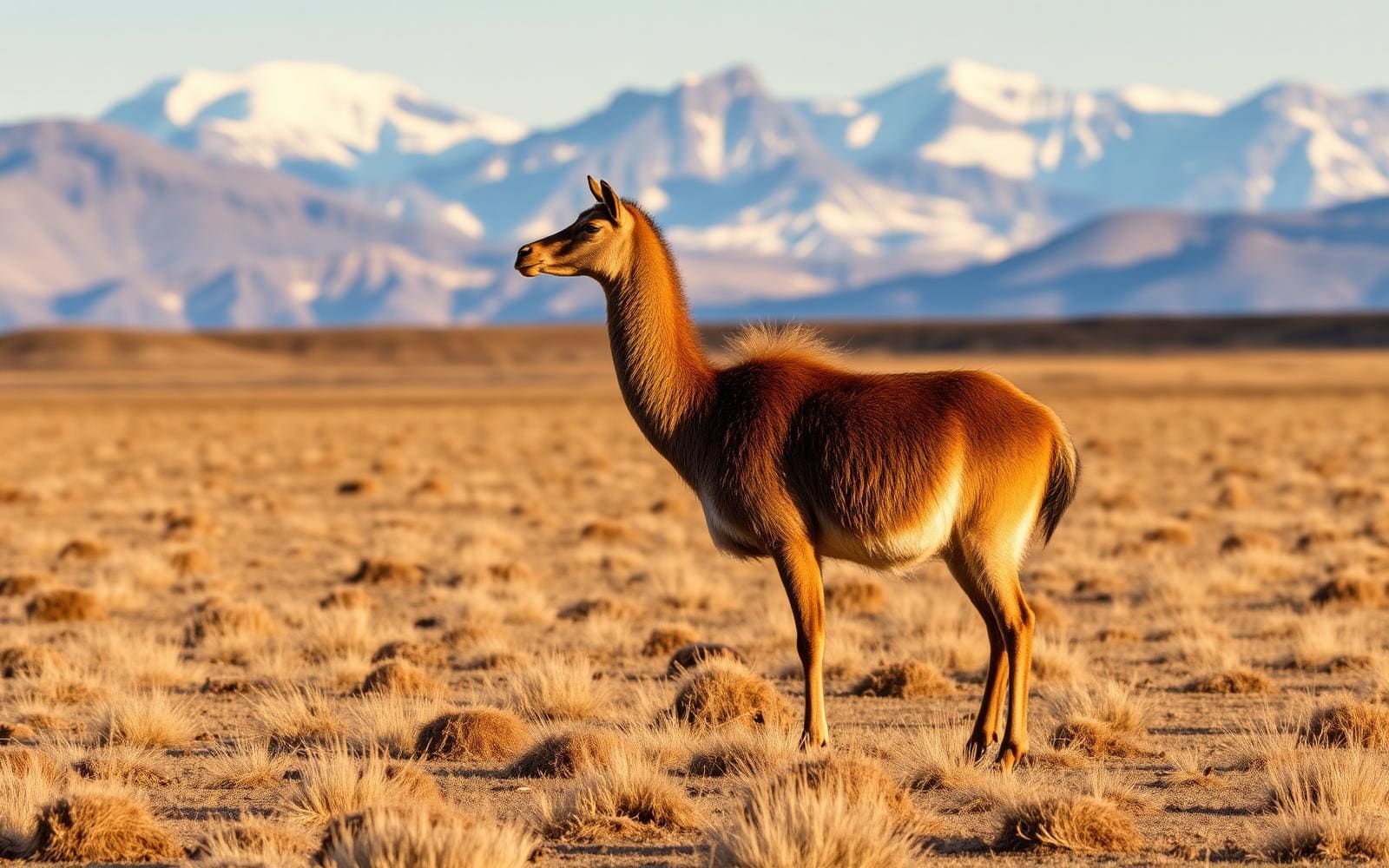
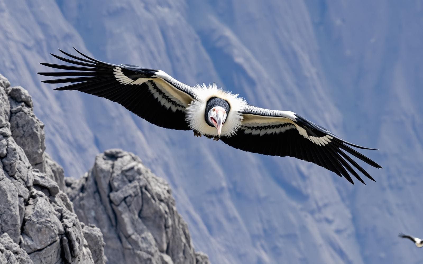
The Huayhuash is a highly concentrated 30km-long cluster of dramatic peaks, featuring massive glaciated faces and hanging seracs. The landscape consists of high puna grasslands, moraines, and vividly colored glacial lakes. Wildlife is sparse, though Andean condors and vicunas occasionally traverse the upper crags.
Why enthusiasts come
It is widely considered one of the most spectacular alpine trekking circuits in the world. The standard route crosses a high mountain pass almost every single day, keeping hikers perpetually above 4,200 meters. Climbers know the range for the epic survival story of Joe Simpson on Siula Grande ('Touching the Void').
Top experiences
The full Huayhuash Circuit takes 10-12 days, weaving through valleys and crossing 8-10 high passes. The Alpine Route is a variation crossing the San Antonio pass, offering harrowing scree descents and unmatched views of the Juraoc lakes. Soaking in the natural hot springs at Viconga camp provides deep relief midway through the trek.
Planner-relevant notes
There is no single park fee; instead, every local community charges a toll to pass through or camp on their land, so you must carry ample soles in small denominations. Serious acclimatization in Huaraz is mandatory before starting, as the route allows no easy escape to low altitude. Pack animals and local guides are commonly hired to handle the heavy loads.
Field notes
- Expect nighttime temperatures to plummet to -10°C (14°F) or lower; a warm 4-season sleeping bag is non-negotiable.
- Bring water purification tablets or a robust filter; livestock graze heavily in almost all the valleys.
- If choosing the Alpine Route variation at San Antonio or Santa Rosa, expect steep, unstable scree where sliding is a real hazard.
- The 'protection fees' paid to communities usually total around 250-300 Peruvian Soles over the entire circuit.
Frequently asked about Cordillera Huayhuash
- Where is Cordillera Huayhuash?
- Cordillera Huayhuash is in Ancash, Peru. A compact, high-altitude Andean circuit offering intimate views of vertical ice flutings and pristine turquoise lakes.
- How do you get to Cordillera Huayhuash?
- Access: Bus from Lima to Huaraz, then local transport. Expect a multi-leg trip — flights to the nearest hub, then float plane, boat, or 4WD depending on conditions.
Build a ten for Cordillera Huayhuash
Assemble your own 10-item Alone loadout tuned to this biome — cold, wet, and food strategy already scoped.
Open the builderShelter that suits this terrain
Browse shelter builds and site-selection guides matched to conditions like the ones here.
Wildlife
Wildlife found around Cordillera Huayhuash

The gear behind what you just read
Ranked lists for the exact categories that decide a season.
- Top 10 Winter JacketsDown parkas, synthetic belay pieces, and heavy wool coats for real cold.See the ranking
- Top 10 Merino Wool Base LayersNext-to-skin wool that works in real cold, real heat, and days between washes.See the ranking
- Top 10 Three-Season Sleeping BagsDown and synthetic bags that cover the honest 20°F–40°F working range.See the ranking
- Top 10 Winter Camping LocationsCold-country trips built around snow, ice, and quiet skies.See the ranking
- Best Cold-Weather HatsWool watch caps, ushankas, and windproof beanies for real winter.See the ranking