



Beyond Alone · Best: June - October
Ordesa y Monte Perdido National Park
Deep glacial valleys and towering limestone walls characterize the heart of the Spanish Pyrenees.
Aragon, Spain
Where on earth
Satellite imagery flying in from a world view to Ordesa y Monte Perdido National Park, Aragon, Spain. Use the + / − buttons, or click the map to zoom with your scroll wheel; drag to pan and pinch to zoom on touch.
- Region
- Aragon, Spain
- Climbing
- Winter Camping
- Skiing
- Desert Hiking
- Canyoneering
- Hiking
- Wildlife Viewing
- Canoeing
- Area/Length
- 156 sq km
- Elevation
- 700m to 3,355m
- Best window
- Late summer for snow-free passes
- Key draws
- Limestone cirques, canyons, waterfalls
- Access
- Bus from Torla during high season
Topic summary
Deep glacial valleys and towering limestone walls characterize the heart of the Spanish Pyrenees. This massive limestone massif forms one of Europe's most dramatic landscapes, split by four immense glacial valleys. The terrain transitions from dense beech and fir forests in the valley floors to barren karst plateaus
Key takeaways
- Area/Length: 156 sq km
- Elevation: 700m to 3,355m
- Best window: Late summer for snow-free passes
- Key draws: Limestone cirques, canyons, waterfalls
- Access: Bus from Torla during high season
Intended uses
- Wilderness trip planning and destination research
- Access: Bus from Torla during high season
Verification notes
Compiled from published show records, regional agencies, and topographical / satellite imagery. Region: Aragon, Spain. Coordinates: 42.671, 0.056.
The country
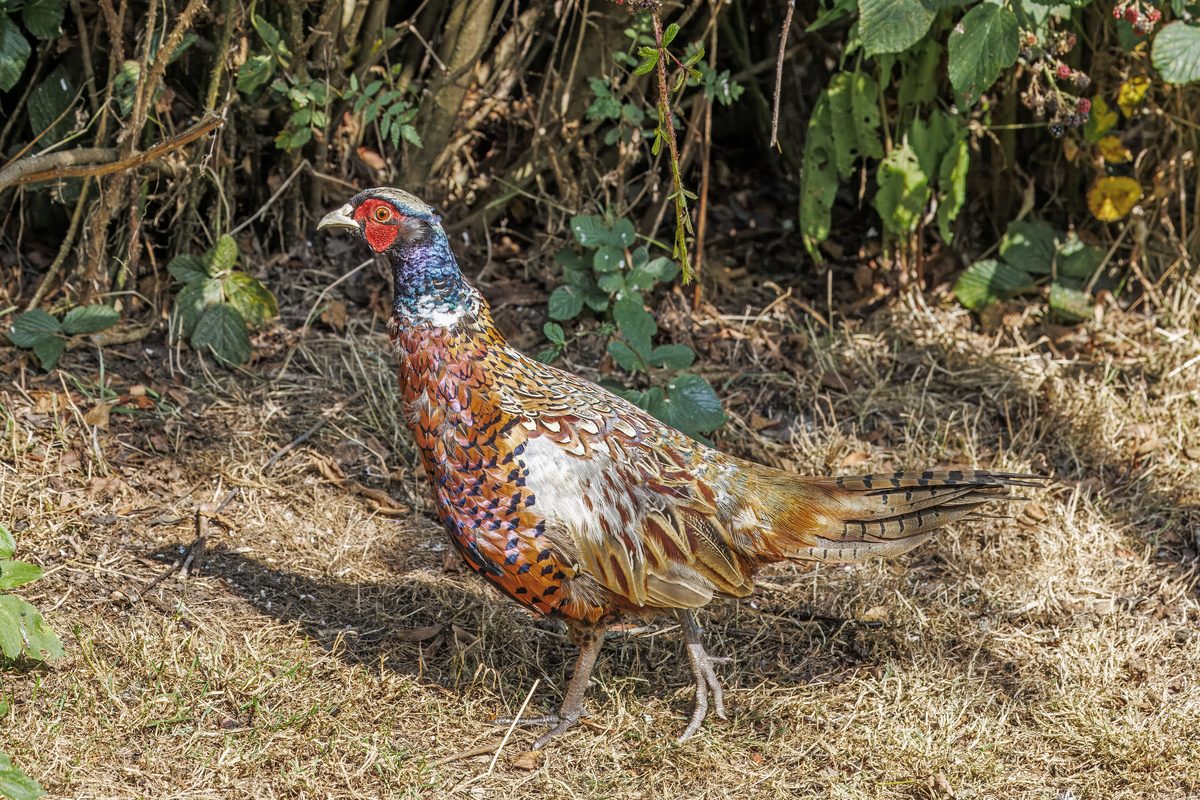
This massive limestone massif forms one of Europe's most dramatic landscapes, split by four immense glacial valleys. The terrain transitions from dense beech and fir forests in the valley floors to barren karst plateaus at high elevations. Wildlife includes the Pyrenean chamois, marmots, and the endangered bearded vulture soaring overhead.
Why enthusiasts come
Hikers and canyoneers flock here for vertical landscapes that rival the Grand Canyon, but with alpine flora and glaciers. The Faja de Pelay offers balcony-like trails carved into sheer cliffs, delivering immense vertical relief. It provides challenging multi-day routes combined with technical canyon descents.
Top experiences
Trekking the Faja de las Flores is a masterclass in exposure, following a narrow natural ledge high above the valley floor. Summiting Monte Perdido via the Goriz refuge requires a steep scree and snow ascent but rewards with panoramic views into France. The Arazas river walk gives gentler access to dramatic tiered waterfalls.
Planner-relevant notes
Wild camping is strictly regulated and only permitted above 2,100 meters, requiring tents to be pitched at dusk and removed at dawn. The Refugio de Goriz is the main hub for multi-day trips and requires booking months in advance. Late spring visitors must carry ice axes and crampons for lingering snowpack on the high cols.
Field notes
- Carry plenty of water on the high fajas, as the porous karst limestone holds no surface water.
- The 'spit' (scrambling section) on Monte Perdido involves Class 3 rock and is highly exposed.
- Summer thunderstorms develop rapidly in the early afternoon, so plan to cross high passes before noon.
- Park access roads close to private vehicles in summer; you must use the shuttle from Torla.
Frequently asked about Ordesa y Monte Perdido National Park
- Where is Ordesa y Monte Perdido National Park?
- Ordesa y Monte Perdido National Park is in Aragon, Spain. Deep glacial valleys and towering limestone walls characterize the heart of the Spanish Pyrenees.
- How do you get to Ordesa y Monte Perdido National Park?
- Access: Bus from Torla during high season. Expect a multi-leg trip — flights to the nearest hub, then float plane, boat, or 4WD depending on conditions.
Build a ten for Ordesa y Monte Perdido National Park
Assemble your own 10-item Alone loadout tuned to this biome — cold, wet, and food strategy already scoped.
Open the builderShelter that suits this terrain
Browse shelter builds and site-selection guides matched to conditions like the ones here.
Wildlife
Wildlife found around Ordesa y Monte Perdido National Park

The gear behind what you just read
Ranked lists for the exact categories that decide a season.
- Top 10 Winter JacketsDown parkas, synthetic belay pieces, and heavy wool coats for real cold.See the ranking
- Top 10 Merino Wool Base LayersNext-to-skin wool that works in real cold, real heat, and days between washes.See the ranking
- Top 10 Three-Season Sleeping BagsDown and synthetic bags that cover the honest 20°F–40°F working range.See the ranking
- Top 10 Winter Camping LocationsCold-country trips built around snow, ice, and quiet skies.See the ranking
- Best Cold-Weather HatsWool watch caps, ushankas, and windproof beanies for real winter.See the ranking