



Beyond Alone · Best: November to April
Ouachita National Recreation Trail
Undertake a quiet, long-distance ridge traverse traversing an ancient mountain range layered with rich pioneer history.
Where on earth
Satellite imagery flying in from a world view to Ouachita National Recreation Trail, AR/OK, USA. Use the + / − buttons, or click the map to zoom with your scroll wheel; drag to pan and pinch to zoom on touch.
- Region
- AR/OK, USA
- Mountaineering
- Winter Camping
- Skiing
- Hiking
- Backpacking
- Wildlife Viewing
- Area/Length
- 223 miles end-to-end
- Elevation
- 600 ft to 2,600 ft
- Best window
- Late fall or early spring for moderate temperatures
- Key draws
- Ridge walks, trail shelters, extreme solitude
- Access
- Talimena State Park (West) or Pinnacle Mountain (East)
Topic summary
Undertake a quiet, long-distance ridge traverse traversing an ancient mountain range layered with rich pioneer history. The Ouachita Mountains are structurally unique in North America, forming long, parallel east-to-west running ridges rather than north-to-south. The trail rides the rocky, pine-covered crests of these mountains and drops
Key takeaways
- Area/Length: 223 miles end-to-end
- Elevation: 600 ft to 2,600 ft
- Best window: Late fall or early spring for moderate temperatures
- Key draws: Ridge walks, trail shelters, extreme solitude
- Access: Talimena State Park (West) or Pinnacle Mountain (East)
Intended uses
- Wilderness trip planning and destination research
- Access: Talimena State Park (West) or Pinnacle Mountain (East)
Verification notes
Compiled from published show records, regional agencies, and topographical / satellite imagery. Region: AR/OK, USA. Coordinates: 34.693, -94.341.
The country
The Ouachita Mountains are structurally unique in North America, forming long, parallel east-to-west running ridges rather than north-to-south. The trail rides the rocky, pine-covered crests of these mountains and drops intermittently into deep hardwood valleys crossed by numerous creeks. The rugged geological folding creates miles of challenging, fractured rock underfoot, punishing on hikers' joints.
Why enthusiasts come
It represents an extensive and well-established thru-hiking opportunity featuring distinct backcountry shelters roughly every ten miles. Hikers seek the trail out for its profound isolation; it lacks the social crowds found on prominent eastern trails. Winter hiking allows for sweeping views off the ridge line through the leafless canopy without the oppressive southern humidity.
Top experiences
Traversing the spectacular, boulder-strewn ridges of Winding Stair Mountain in Oklahoma kickstarts the challenging western terminus of the trail. Thru-hikers frequently rely on the well-crafted trailside shelters that dot the route, often experiencing empty camps night after night. Stashing caches at rural forest road crossings creates a rugged, rewarding logistical puzzle.
Planner-relevant notes
No permits are required to hike or camp anywhere along the primary trail corridor. Given the ridge-running nature of the path, water availability becomes dangerously scarce during dry spells, forcing long carries or caching. The terrain is exceedingly rocky and unstable; approach with supportive trail runners or solid hiking boots.
Field notes
- The ridge lines trap heat during the day and radiate it away rapidly at night; bring layers.
- Summer hiking is strongly discouraged due to massive seed tick populations, heavy overgrowth, and dry creeks.
- To avoid carrying extreme water weight, cache gallons at road crossings, hiding them from local wildlife.
- Hunters heavily utilize the forest from October to January; hi-vis blaze orange caps and vests are functionally mandatory.
Frequently asked about Ouachita National Recreation Trail
- Where is Ouachita National Recreation Trail?
- Ouachita National Recreation Trail is in AR/OK, USA. Undertake a quiet, long-distance ridge traverse traversing an ancient mountain range layered with rich pioneer history.
- How do you get to Ouachita National Recreation Trail?
- Access: Talimena State Park (West) or Pinnacle Mountain (East). Expect a multi-leg trip — flights to the nearest hub, then float plane, boat, or 4WD depending on conditions.
Build a ten for Ouachita National Recreation Trail
Assemble your own 10-item Alone loadout tuned to this biome — cold, wet, and food strategy already scoped.
Open the builderShelter that suits this terrain
Browse shelter builds and site-selection guides matched to conditions like the ones here.
Wildlife
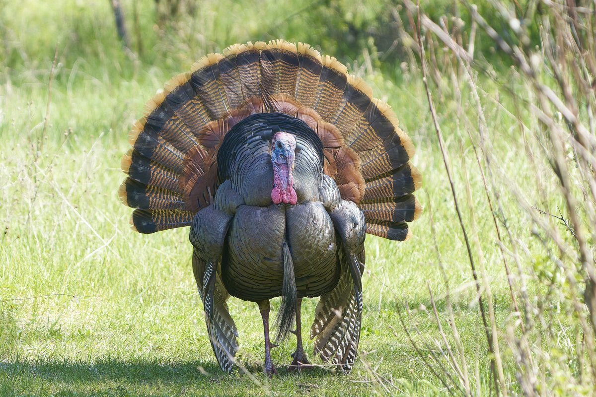
Wildlife found around Ouachita National Recreation Trail

The gear behind what you just read
Ranked lists for the exact categories that decide a season.
- Top 10 Winter JacketsDown parkas, synthetic belay pieces, and heavy wool coats for real cold.See the ranking
- Top 10 Merino Wool Base LayersNext-to-skin wool that works in real cold, real heat, and days between washes.See the ranking
- Top 10 Three-Season Sleeping BagsDown and synthetic bags that cover the honest 20°F–40°F working range.See the ranking
- Top 10 Winter Camping LocationsCold-country trips built around snow, ice, and quiet skies.See the ranking
- Best Cold-Weather HatsWool watch caps, ushankas, and windproof beanies for real winter.See the ranking