



Beyond Alone · Best: Nov-Apr
Ozark Highlands Trail
Deep ravines, hidden waterfalls, and rocky creek beds characterize this exceptionally rugged, long-distance winter hiking route through the Boston Mountains.
Arkansas, USA
Where on earth
Satellite imagery flying in from a world view to Ozark Highlands Trail, Arkansas, USA. Use the + / − buttons, or click the map to zoom with your scroll wheel; drag to pan and pinch to zoom on touch.
- Region
- Arkansas, USA
- Climbing
- Mountaineering
- Winter Camping
- Skiing
- Hiking
- Backpacking
- Wildlife Viewing
- Canoeing
- Area/Length
- 165 miles (main section)
- Elevation
- 400 ft to 2,300 ft
- Best window
- November to April
- Key draws
- Winter thru-hiking, waterfalls
- Access
- Lake Fort Smith State Park
Topic summary
Deep ravines, hidden waterfalls, and rocky creek beds characterize this exceptionally rugged, long-distance winter hiking route through the Boston Mountains. The Boston Mountains sub-range of the Ozarks forms an intensely dissected plateau of deep, V-shaped valleys and rugged sandstone bluffs. The mature upland hardwood forest conceals incredibly clear, spring-fed streams and
Key takeaways
- Area/Length: 165 miles (main section)
- Elevation: 400 ft to 2,300 ft
- Best window: November to April
- Key draws: Winter thru-hiking, waterfalls
- Access: Lake Fort Smith State Park
Intended uses
- Wilderness trip planning and destination research
- Access: Lake Fort Smith State Park
Verification notes
Compiled from published show records, regional agencies, and topographical / satellite imagery. Region: Arkansas, USA. Coordinates: 35.689, -93.818.
The country
The Boston Mountains sub-range of the Ozarks forms an intensely dissected plateau of deep, V-shaped valleys and rugged sandstone bluffs. The mature upland hardwood forest conceals incredibly clear, spring-fed streams and countless seasonal waterfalls cascading over mossy ledges.
Why enthusiasts come
The sheer physical exertion required to continually climb and descend the steep drainages draws hikers seeking a serious athletic and mental challenge. The route offers one of the best winter thru-hiking windows in the United States.
Top experiences
Trudging up White Rock Mountain rewards backpackers with magnificent panoramic vistas from a sheer sandstone promontory. Foraging for camp spots in the Hurricane Creek Wilderness immerses hikers in deep, fern-choked grottos cut off from all outside noise.
Planner-relevant notes
The 165-mile main section entails thousands of feet of elevation change despite lacking incredibly high peaks. Heavy rains create extremely dangerous creek crossings that can block progress for days until water subsides. Cell service is virtually nonexistent in the deep hollers, making a satellite messenger highly recommended.
Field notes
- Bring dedicated water shoes; you will constantly ford shin-to-thigh deep creeks.
- Leaf litter in late fall hides slippery underlying rocks and obscuring the trail completely.
- Feral hogs are aggressive locally; if encountered, yield the trail to the herd safely.
- Drop off food caches at rural highway crossings, as hitchhiking into towns is difficult.
Frequently asked about Ozark Highlands Trail
- Where is Ozark Highlands Trail?
- Ozark Highlands Trail is in Arkansas, USA. Deep ravines, hidden waterfalls, and rocky creek beds characterize this exceptionally rugged, long-distance winter hiking route through the Boston Mountains.
- How do you get to Ozark Highlands Trail?
- Access: Lake Fort Smith State Park. Expect a multi-leg trip — flights to the nearest hub, then float plane, boat, or 4WD depending on conditions.
Build a ten for Ozark Highlands Trail
Assemble your own 10-item Alone loadout tuned to this biome — cold, wet, and food strategy already scoped.
Open the builderShelter that suits this terrain
Browse shelter builds and site-selection guides matched to conditions like the ones here.
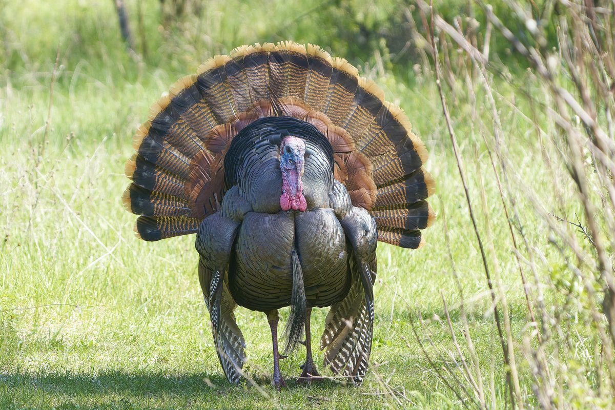
Wildlife
Wildlife found around Ozark Highlands Trail

The gear behind what you just read
Ranked lists for the exact categories that decide a season.
- Top 10 Winter JacketsDown parkas, synthetic belay pieces, and heavy wool coats for real cold.See the ranking
- Top 10 Merino Wool Base LayersNext-to-skin wool that works in real cold, real heat, and days between washes.See the ranking
- Top 10 Three-Season Sleeping BagsDown and synthetic bags that cover the honest 20°F–40°F working range.See the ranking
- Top 10 Winter Camping LocationsCold-country trips built around snow, ice, and quiet skies.See the ranking
- Best Cold-Weather HatsWool watch caps, ushankas, and windproof beanies for real winter.See the ranking