



Beyond Alone · Best: June - September
Prokletije
A jagged, untamed frontier of karst limestone straddling the wild borders of the Balkans.
Shkoder, Albania
Where on earth
Satellite imagery flying in from a world view to Prokletije, Shkoder, Albania. Use the + / − buttons, or click the map to zoom with your scroll wheel; drag to pan and pinch to zoom on touch.
- Region
- Shkoder, Albania
- Climbing
- Hiking
- Canoeing
- Fishing
- Caving
- Area/Length
- 192km circuit route
- Elevation
- 500m to 2,694m
- Best window
- Mid-July to August
- Key draws
- Cultural homestays, wild limestone peaks
- Access
- Ferry via Lake Koman to Valbona
Topic summary
A jagged, untamed frontier of karst limestone straddling the wild borders of the Balkans. The Accursed Mountains are the highest and most impenetrable part of the Dinaric Alps. Glaciation has carved deep, U-shaped valleys through the porous karst, leaving behind sheer limestone walls and cavernous subterranea
Key takeaways
- Area/Length: 192km circuit route
- Elevation: 500m to 2,694m
- Best window: Mid-July to August
- Key draws: Cultural homestays, wild limestone peaks
- Access: Ferry via Lake Koman to Valbona
Intended uses
- Wilderness trip planning and destination research
- Access: Ferry via Lake Koman to Valbona
Verification notes
Compiled from published show records, regional agencies, and topographical / satellite imagery. Region: Shkoder, Albania. Coordinates: 42.438, 19.764.
The country
The Accursed Mountains are the highest and most impenetrable part of the Dinaric Alps. Glaciation has carved deep, U-shaped valleys through the porous karst, leaving behind sheer limestone walls and cavernous subterranean drainage systems. The region is highly remote, preserving ancient pastoral traditions and immense biodiversity.
Why enthusiasts come
Adventurers are drawn to the Peaks of the Balkans trail, which snakes freely between Albania, Kosovo, and Montenegro. It offers a rare mix of genuinely uncrowded, world-class alpine scenery and profound cultural immersion. Trekkers stay with local families in stone kula houses, drinking homemade raki after brutal vertical ascents.
Top experiences
The Valbona to Theth pass is a classic day hike over a steep, rocky saddle offering incredible views of both glacial valleys. Climbing Maja Jezerce (2,694m) is a serious mountaineering endeavor requiring scrambling and route-finding through a maze of karst depressions. The Karanfil massif in Montenegro offers breathtaking ridge traverses reminiscent of the Dolomites.
Planner-relevant notes
Crossing borders outside of official checkpoints requires a Cross Border Permit, which must be arranged at least two weeks in advance. While homestays provide beds and substantial meals, carrying a tent gives flexibility in the higher, uninhabited cirques. Trail marking is improving but a GPS track is absolutely critical for the non-standard route deviations.
Field notes
- Carry ample cash (Euros generally accepted), as ATMs do not exist in the mountain villages.
- Water disappears quickly into the karst; carry 3 liters on high ridgeline days.
- Take the Lake Koman ferry for access to Valbona; it is one of the most scenic boat rides in Europe.
- The local hospitality is legendary, but be prepared for heavy, meat-and-dairy-based meals.
Frequently asked about Prokletije
- Where is Prokletije?
- Prokletije is in Shkoder, Albania. A jagged, untamed frontier of karst limestone straddling the wild borders of the Balkans.
- How do you get to Prokletije?
- Access: Ferry via Lake Koman to Valbona. Expect a multi-leg trip — flights to the nearest hub, then float plane, boat, or 4WD depending on conditions.
Build a ten for Prokletije
Assemble your own 10-item Alone loadout tuned to this biome — cold, wet, and food strategy already scoped.
Open the builderShelter that suits this terrain
Browse shelter builds and site-selection guides matched to conditions like the ones here.
Wildlife
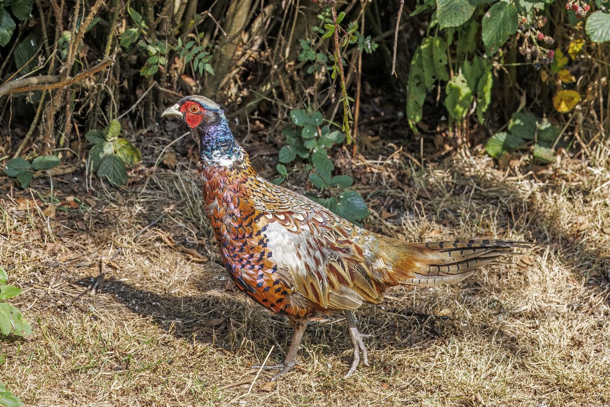
Wildlife found around Prokletije

The gear behind what you just read
Ranked lists for the exact categories that decide a season.
- Top 10 Winter JacketsDown parkas, synthetic belay pieces, and heavy wool coats for real cold.See the ranking
- Top 10 Merino Wool Base LayersNext-to-skin wool that works in real cold, real heat, and days between washes.See the ranking
- Top 10 Three-Season Sleeping BagsDown and synthetic bags that cover the honest 20°F–40°F working range.See the ranking
- Top 10 Winter Camping LocationsCold-country trips built around snow, ice, and quiet skies.See the ranking
- Best Cold-Weather HatsWool watch caps, ushankas, and windproof beanies for real winter.See the ranking