



Reader rating
Rate it and you move it. Community ratings re-rank this product inside its Top 10 list.
Expert-picked, reader-ranked. Our editors choose the products and the launch order; member star ratings move picks up or down over time.
Tucked away in the southern reaches of the Golden Trout Wilderness at 10,800 feet, the Rocky Basin chain contains some of the least-disturbed waters within the native territory of the South Fork Kern strain. Unlike the stark granite moonscapes of the central Sierra, this basin features rolling volcanic and granitic terrain flanked by ancient foxtail pines and subalpine meadows, providing a richer aquatic habitat than typical high-elevation tarns. The middle and upper lakes in the chain exceed 25 feet in depth, offering thermal stability and robust winter holding water. Trout here are exceptional examples of *Oncorhynchus aguabonita aguabonita*, with deep olive backs, vibrant crimson flanks, and distinct parr marks that remain prominent even on adult fish. The fish feed readily on surface flies, responding enthusiastically to Adams, elk hair caddis, and small beetle patterns drifted close to the deadfall along the western shoreline. Access is long and remote, typically staged out of Blackrock Trailhead or Kennedy Meadows. Expect a multi-day trek covering more than 20 miles across dry plateau country before dropping into the isolated basin. Very few day hikers ever reach these waters, making this one of the most reliable locations for finding undisturbed golden trout in their native geographical province.
Pros
- Home to genetically pure native South Fork Kern strain golden trout
- Substantial multi-day route filters out virtually all day-use crowds
- Extensive deep water holding areas provide reliable late-season action
- Scenic mix of volcanic geology and rare subalpine foxtail pines
Cons
- Long, dry trail approach requires heavy water carries across the plateau
- Rigid fire closures and fragile alpine soils demand strict camp discipline
- Average fish length is small due to the short high-elevation growing season
Best uses
- Purist native trout fly fishing
- Multi-day remote wilderness backpacking
- High-elevation off-trail navigation
Specifications
- Elevation
- 10,800 feet
- Wilderness Area
- Golden Trout Wilderness
- Managing Agency
- Inyo National Forest
- Target Species
- Native South Fork Kern golden trout
- Primary Trailhead
- Blackrock Trailhead
- Round-Trip Distance
- 42 miles minimum
Best for
Purist native trout fly fishing, Multi-day remote wilderness backpacking, High-elevation off-trail navigation
Set at 10,800 feet in the southern Sierra Nevada, the Rocky Basin chain offers something rare in the modern backcountry: an intact, self-sustaining fishery for native South Fork Kern strain golden trout where you can spend days without spotting another angler. The surrounding landscape trades the sheared granite walls of the central High Sierra for weathered volcanic outcrops, open subalpine meadows, and stands of ancient foxtail pines. This transitional geology supports a surprisingly rich macroinvertebrate base, keeping the lakes well-fed throughout the brief high-country summer. The chain consists of several stepped waters, with the middle and upper lakes holding depths beyond twenty-five feet. This depth protects adult fish from harsh winter freezes and supports exceptional color saturation, showing deep crimson bellies and distinct parr marks along the flanks. Reaching this water requires pushing across the arid high plateau country of the Golden Trout Wilderness. The distance and scarce trailside water keep casual travelers away, leaving the shorelines pristine and the resident fish remarkably honest to well-drifted terrestrial and attractor patterns.
Terrain and Geology
The Rocky Basin pocket sits in a unique geological crossroads where the southern granitic spine of the Sierra merges with older volcanic flows on the Kern Plateau. Instead of sterile, polished rock, the lake basins feature broken gravel shorelines, sunken timber, and shallow marshy shelves framed by gnarled foxtail pines. These trees thrive in the dry, wind-scoured soil of the southern ridges and give the basin an ancient, quiet atmosphere. The varied bottom structure provides prime feeding lanes and cover for cruising trout, particularly along the western shelves where fallen pine logs create deep shadow pockets. Shoreline access is straightforward along most of the perimeter, though traversing between the upper and lower basins requires picking your way across loose talus benches and soggy meadow channels.
Native Fishery and Tactics
The fish here represent clean lineages of Oncorhynchus aguabonita aguabonita, evolved specifically for the cold, clear waters of the upper South Fork Kern drainage. Unlike hybrid populations found in heavily stocked front-country waters, these fish retain crisp parr marks and brilliant scarlet lateral bands into maturity. Surface activity peaks during late morning and early evening hatches. Terrestrial patterns like foam ants, beetles, and classic Elk Hair Caddis in sizes 14 through 18 consistently draw hard strikes. If wind ruffles the surface, stripping a small olive leech or beadhead pheasant tail along the drop-offs will find the larger cruisers holding deep. Barbless single hooks and gentle handling are mandatory; these high-elevation native populations face short growing seasons and cannot withstand careless catch-and-release practices.
Approach and Trail Logistics
Reaching the basin demands careful planning and strong legs. Most parties stage out of the Blackrock Trailhead at roughly 9,000 feet, following the Casa Vieja and Siberian pass trail networks before cutting toward the basin. The route covers over twenty miles one-way across the rolling, dry Kern Plateau. Water sources along the plateau can shrink to stagnant trickles by late July, making long, dry carries unavoidable between viable creek crossings. The final push involves an off-trail navigation segment over a rocky lip where topo map competence and steady footing are required. Because you cannot count on boot-worn tracks to guide you into camp, carrying a reliable compass and up-to-date physical map is essential. Give yourself at least four to five days for the complete trip.
Season and Weather Windows
The southern Sierra typically sheds snow earlier than the northern passes, but Rocky Basin sits high enough that early July often brings lingering snowdrifts and saturated, boggy trail approaches. The prime window runs from late July through early September. August offers the most dependable conditions, with warm daytime temperatures hovering in the low seventies and nighttime lows dropping into the upper thirties. Afternoon monsoonal moisture moving up from the desert can build rapidly into violent electrical storms over the plateau, bringing intense downpours, hail, and dangerous lightning exposure across the open ridges. By mid-September, overnight freezes become routine, shoreline grasses turn golden, and water levels drop significantly, signaling the fast-closing window of fishable autumn weather.
Permits and Regulations
The entire route falls within the Golden Trout Wilderness and requires a valid wilderness permit issued through Inyo National Forest via Recreation.gov. Quotas apply from May through November, though southern trailheads rarely book out as frantically as the Whitney or Cottonwood portals. Approved hard-sided bear canisters are strongly advised throughout the Kern drainage, where black bears frequently patrol trail corridors. Campfires are strictly prohibited above 10,000 feet to protect the slow-growing foxtail and lodgepole pine duff. Pack out every scrap of waste, set tents at least one hundred feet back from fragile lake edges, and use existing impacted dirt sites rather than pitching shelter on delicate subalpine turf.
Honest Trade-Offs
This trip is not for hikers looking for a quick mountain fix. The initial miles across the Kern Plateau can feel like a dusty slog through lodgepole forest and sun-baked volcanic sand, offering little shade and long dry stretches that test your endurance before you ever see alpine granite. Biting black flies and mosquitoes thrive in the meadow margins from snowmelt through early August, requiring head nets and windproof layers to maintain your sanity in camp. Furthermore, the fish here, while pure and visually stunning, rarely exceed ten to twelve inches due to the nutrient limitations of alpine lakes. You come here for solitude, native lineage, and stark southern wilderness, not for easy limits or trophy-wall size.
How we chose
We built this ranking from land-manager and agency sources, permit records and published trip reports. Each of the 10 places was compared against the same criteria below. This is desk research unless a pick is marked field tested.
- Quality of the terrain
- Landscape, route variety, and whether the place rewards multiple days rather than one overlook.
- Season and weather windows
- How long the reliable window is, and how badly the shoulder seasons punish a bad forecast.
- Access and permits
- Trailhead logistics, permit odds, quotas, and how much lead time a trip realistically takes.
- Solitude vs. crowding
- How far you have to walk before the place feels like wilderness instead of a queue.
- Wildlife and ecology
- What you can reasonably expect to see, and what you have to plan around.
- Risk and skill required
- Navigation, water crossings, exposure, and rescue distance — stated plainly.
Rocky Basin Lakes — frequently asked questions
- Is Rocky Basin Lakes worth the trip?
- We rank it #3 in Sierra Golden Trout Lakes. Tucked away in the southern reaches of the Golden Trout Wilderness at 10,800 feet, the Rocky Basin chain contains some of the least-disturbed waters within the native territory of the South Fork Kern strain. Unlike the stark granite moonscapes of the central Sierra, this basin features rolling volcanic and granitic…
- Who is Rocky Basin Lakes best for?
- Best for purist native trout fly fishing, multi-day remote wilderness backpacking and high-elevation off-trail navigation. Standouts: home to genetically pure native south fork kern strain golden trout and substantial multi-day route filters out virtually all day-use crowds.
- What are the drawbacks of Rocky Basin Lakes?
- Long, dry trail approach requires heavy water carries across the plateau, Rigid fire closures and fragile alpine soils demand strict camp discipline and Average fish length is small due to the short high-elevation growing season.
- What are the key details for Rocky Basin Lakes?
- Elevation: 10,800 feet · Wilderness Area: Golden Trout Wilderness · Managing Agency: Inyo National Forest · Target Species: Native South Fork Kern golden trout · Primary Trailhead: Blackrock Trailhead
- Terrain and Geology — what should I know about the Rocky Basin Lakes?
- The Rocky Basin pocket sits in a unique geological crossroads where the southern granitic spine of the Sierra merges with older volcanic flows on the Kern Plateau. Instead of sterile, polished rock, the lake basins feature broken gravel shorelines, sunken timber, and shallow marshy shelves framed by gnarled foxtail…
- Native Fishery and Tactics — what should I know about the Rocky Basin Lakes?
- The fish here represent clean lineages of Oncorhynchus aguabonita aguabonita, evolved specifically for the cold, clear waters of the upper South Fork Kern drainage. Unlike hybrid populations found in heavily stocked front-country waters, these fish retain crisp parr marks and brilliant scarlet lateral bands into…
Where on earth
Satellite imagery flying in from a world view to Rocky Basin Lakes, California, United States. Use the + / − buttons, or click the map to zoom with your scroll wheel; drag to pan and pinch to zoom on touch.
Rocky Basin Lakes, California, USA · 36.448, -118.318
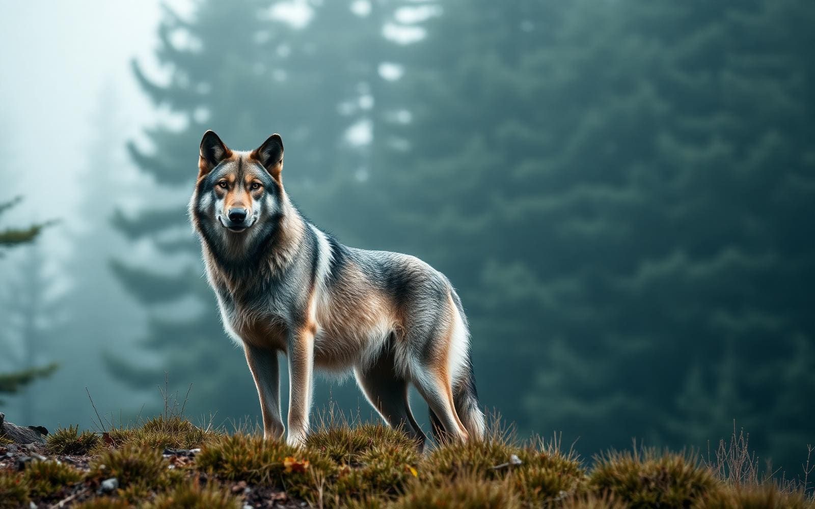
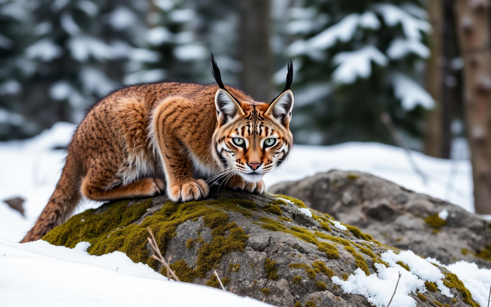
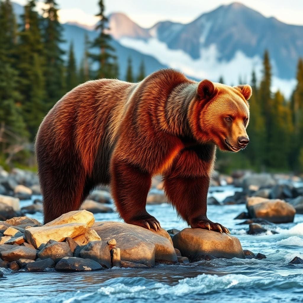
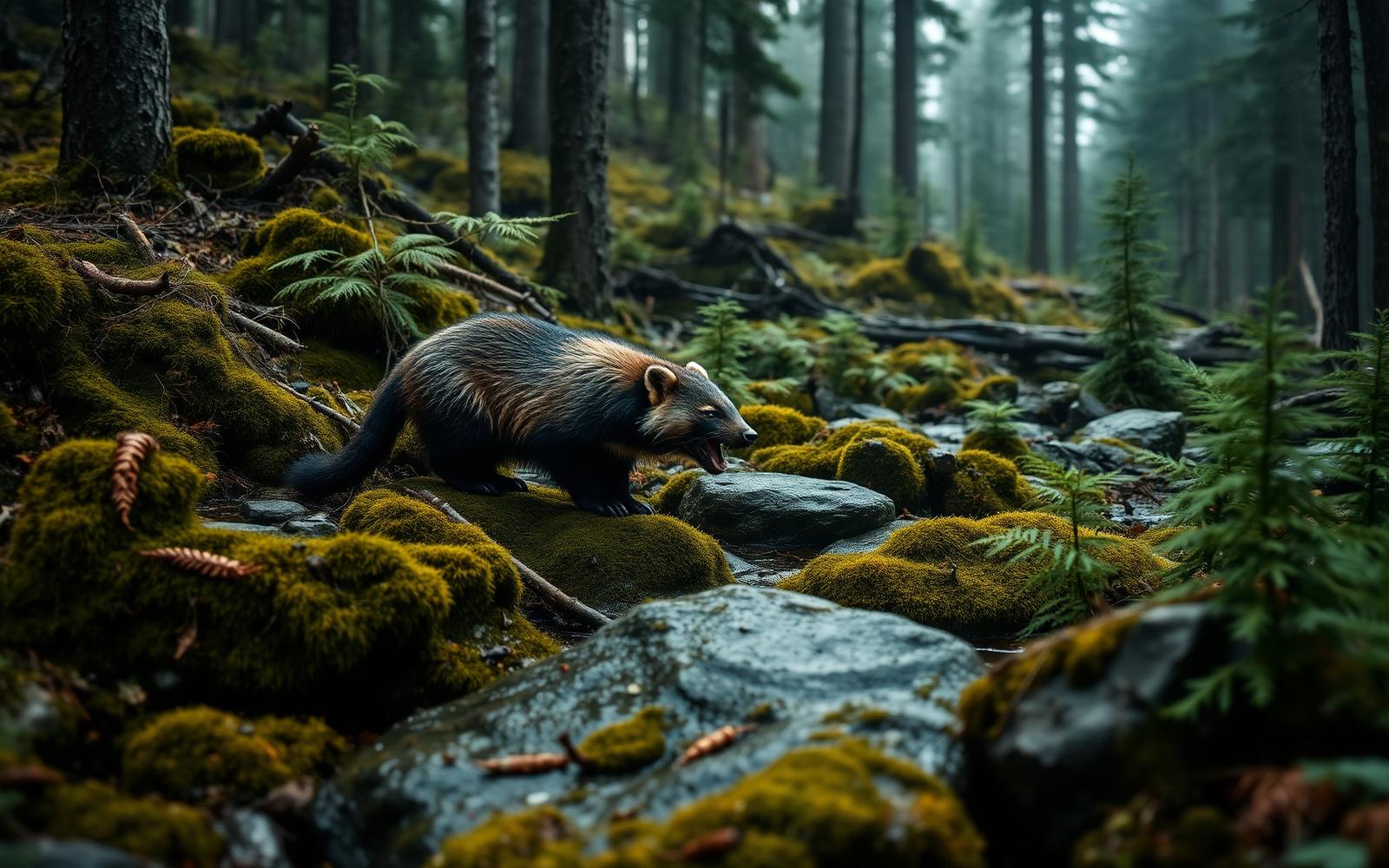
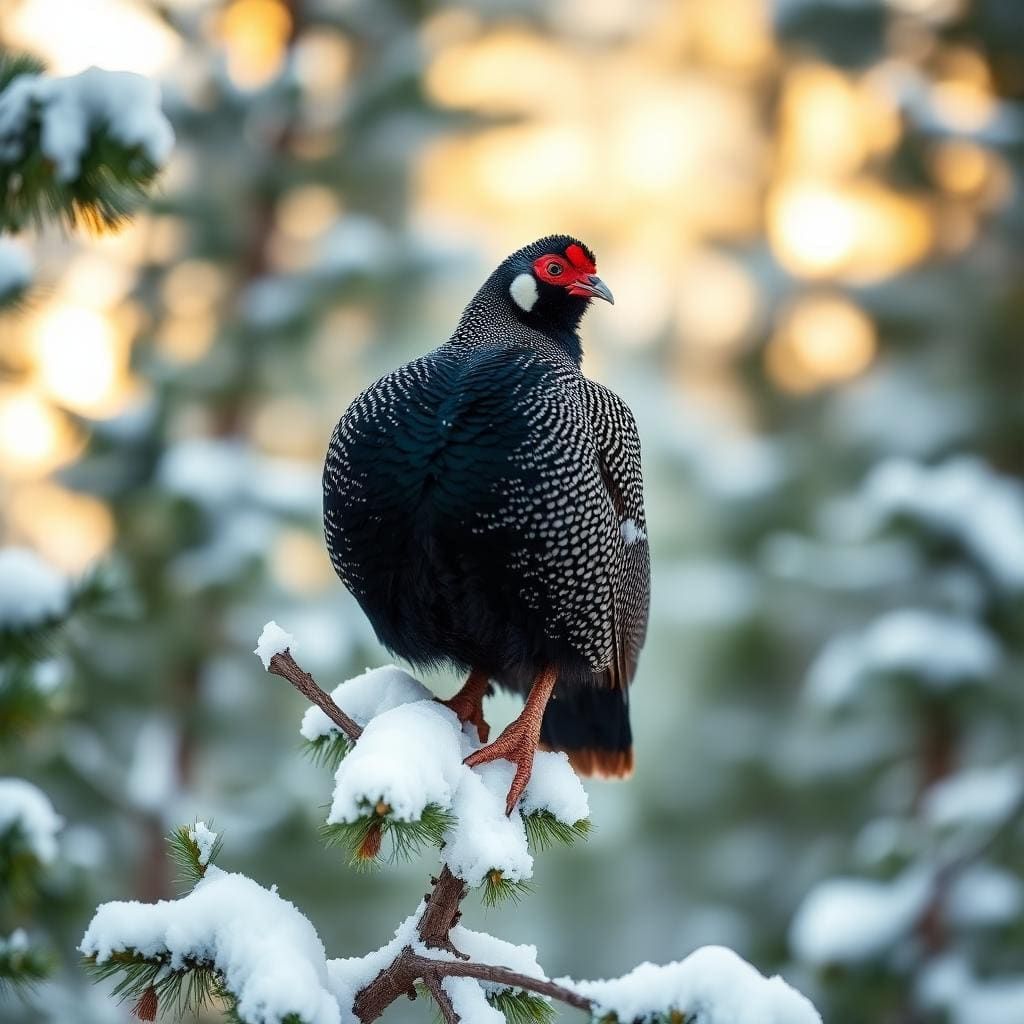
Wildlife found around Rocky Basin Lakes



Compare side by side
Put the Rocky Basin Lakes against any other pick on this list — specs, price, pros, cons and reader ratings.