



Reader rating
Rate it and you move it. Community ratings re-rank this product inside its Top 10 list.
Expert-picked, reader-ranked. Our editors choose the products and the launch order; member star ratings move picks up or down over time.
This loop is designed for hikers who want to sample both the river canyon and the dry, piñon-juniper mesa rims that characterize the lower Gila. Starting at Woody's Corral, the route climbs up and over Jerky Mountain via Trail 161. The high trail provides expansive southern views back toward the Black Range before descending steeply down through the side drainages into the Middle Fork canyon floor, several miles upstream from the hot springs. Once on the canyon floor, you turn south onto the Middle Fork River Trail (Trail 157) and begin the watery trek downstream. By approaching the river from above Jerky Mountain, you experience the dramatic canyon widening and narrowing cycles without repeating ground. You can pitch camp along sandy benches beneath massive Arizona sycamores, complete the short detour to Jordan Hot Springs, and then exit via Little Bear Canyon or the main river cut. Shoulder-season execution is straightforward. The Jerky Mountain traverse melts out earlier in the spring than the high Mogollon crest, making it fully functional by late March or early April when the high ridges are still snowbound. In autumn, the contrast between the dry mesa descent and the vibrant canyon floor is striking. **Highlights** - Mileage: 19 to 22 miles - Elevation change: Approximately 2,600 feet - Superb aerial views of the canyon network from Jerky Mountain ridge - Mixes dry desert mountain climbing with classic Gila river hiking - Access to Jordan Hot Springs on the final descent **Watch-outs** - The climb up Jerky Mountain is completely dry; carry full water from the trailhead - Sharp catclaw and scrub oak encroach on the upland singletrack - Steep descent into the Middle Fork features loose gravel and poor footing
Pros
- Accessible earlier in spring than high-elevation crest routes
- Sweeping views across the southern Gila Wilderness and Black Range
- Direct trail access to Jordan Hot Springs for a backcountry soak
- Dynamic landscape shift from arid volcanic ridges to lush river canyon
Cons
- Zero water sources along the steep climb and ridge traverse
- Trail 161 is heavily brushed with aggressive catclaw and scrub oak
- Dozens of river crossings require constant wet-foot hiking
Best uses
- Shoulder-season desert backpacking
- Weekend wilderness loop routes
- Hikers seeking thermal springs
- Mixed canyon and ridge hiking
Specifications
- Trailhead
- Woody's Corral Trailhead
- Distance
- 19 to 22 miles
- Elevation Gain
- Approximately 2,600 feet
- Route Type
- Semi-loop with connector trails
- Best Season
- Late March to May, October to November
- Jurisdiction
- Gila National Forest, Wilderness Ranger District
Best for
Shoulder-season desert backpacking, Weekend wilderness loop routes, Hikers seeking thermal springs, Mixed canyon and ridge hiking
Most backpackers head to the Gila Wilderness with wet feet in mind, but staying exclusively on the river bottom robs you of perspective. Climbing up and over Jerky Mountain offers an aerial view of the volcanic labyrinth carved by the river system over millions of years. Starting from Woody's Corral, the high path along Trail 161 climbs through arid piñon-juniper scrub and open ponderosa stands, trading shaded gravel bars for expansive southern views reaching toward the Black Range. The payoff comes when the trail plunges off the high mesa down into the Middle Fork corridor. In a couple of hours, the landscape shifts from baking volcanic talus to a cool, shaded riparian paradise framed by towering rhyolite bluffs. Once you hit the canyon floor on Trail 157, the rhythm changes completely as you splash downstream through dozens of river crossings, past sand-bench campsites shaded by mature Arizona sycamores. This loop captures the region's split personality in roughly twenty miles. It tests your water management and hill climbing on the front half, then rewards you with reliable water, gentle downhill cruising, and a soak at Jordan Hot Springs on the back half.
Terrain and Ridge Climbing
The climb across Jerky Mountain leaves the river oasis behind for rugged volcanic uplands. Trail 161 winds through open scrub, loose volcanic scree, and dry washes before gaining the exposed spine of the ridge. Footing on the ascent can be slippery where fine gravel sits atop hard bedrock, demanding careful pole placement with a heavy pack. The southern exposure means heat builds rapidly, and shade becomes scarce above the lower creek beds. Once over the crest, the descent toward the Middle Fork drops steeply down a narrow side drainage. This section requires steady footwork over shifting gravel and loose basalt boulders before bottoming out at the river corridor, where the trail abruptly converts from desert scree to packed river sand.
Seasonal Timing and Flash Floods
Timing this loop comes down to balancing high-elevation snowpack against spring runoff and summer monsoon storms. Jerky Mountain sits lower than the alpine Mogollon Crest, making it prime for early spring when high passes remain snowbound. By late March or April, daytime temperatures on the ridge are pleasant, but spring snowmelt can turn the Middle Fork into a high-volume, thigh-deep torrent that numbs your legs and slows your pace. Late spring brings lower, clearer river flows, but water along the ridge dries up entirely. The summer monsoon window from July through August brings catastrophic flash flood risks to narrow canyon bottlenecks. Late autumn delivers stable weather, golden sycamore foliage, and low, manageable river levels.
Water Management and Crossing Logistics
Water strategy makes or breaks this itinerary. There is zero reliable water along the climb up Jerky Mountain until you reach the floor of the Middle Fork, requiring you to haul at least three to four liters out of the trailhead depending on temperature. Once at the river, water is everywhere, but treating it is non-negotiable due to upstream wildlife and heavy pack-stock traffic. The downstream journey requires dozens of river crossings, often with water between calf and mid-thigh height. Hike directly in lightweight, breathable trail runners paired with wool or neoprene socks, as switching into camp sandals for every crossing will stall your pace and ruin your momentum across slick cobblestones.
Wildlife and Trail Conditions
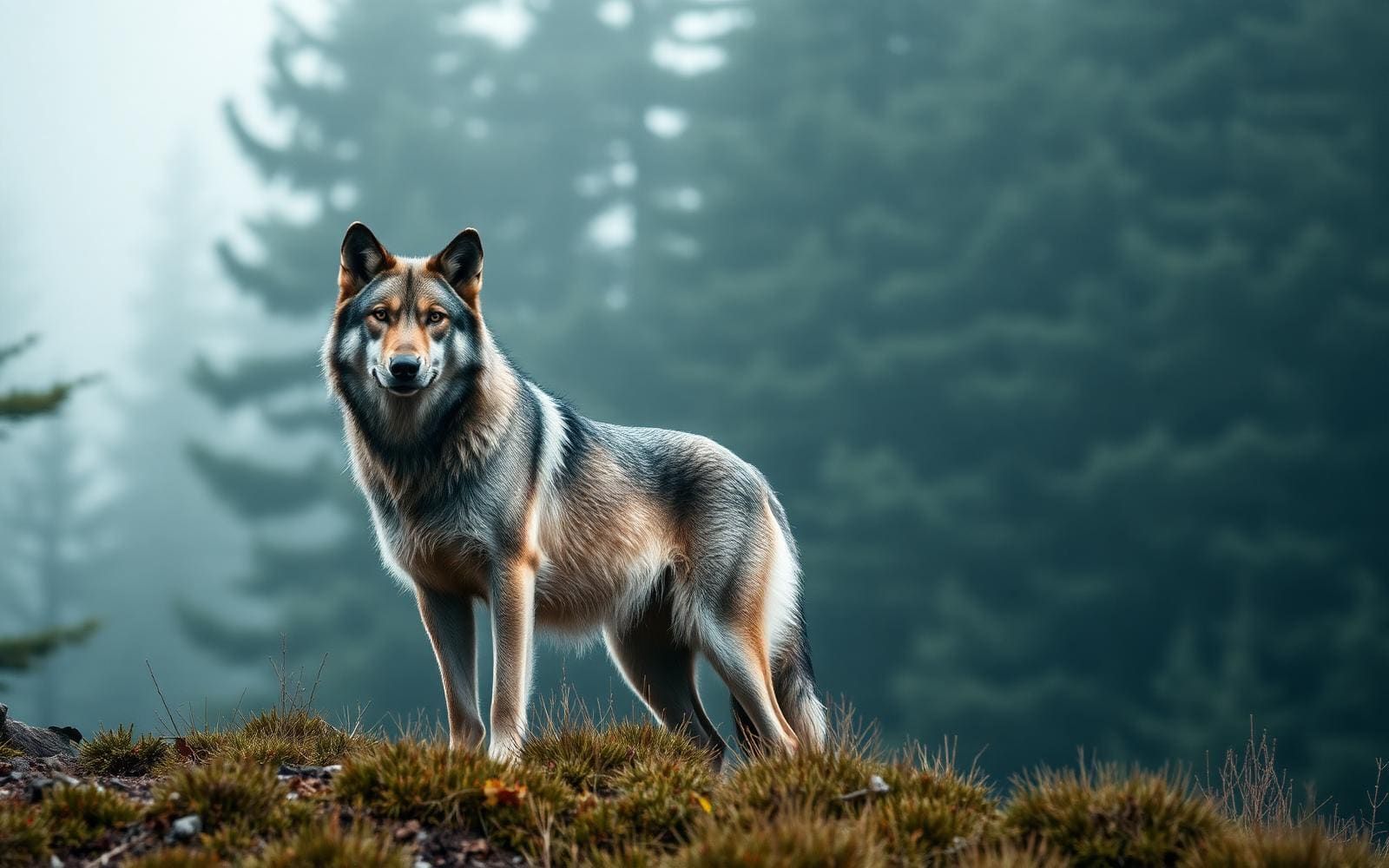
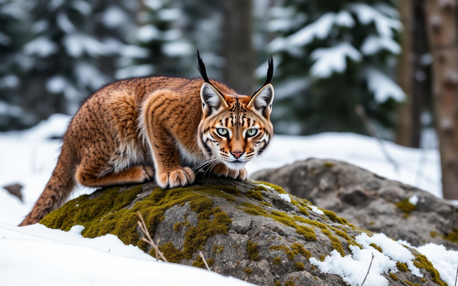
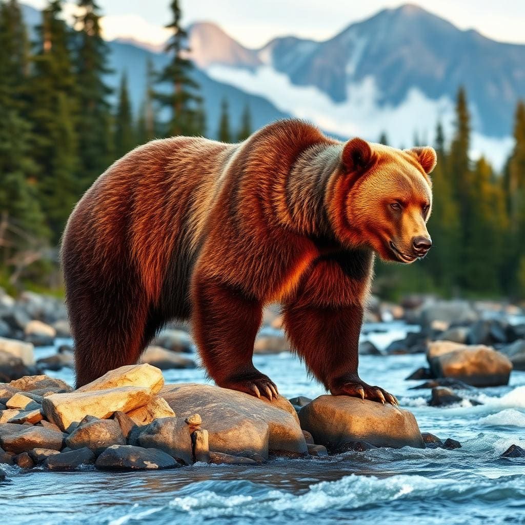
The upland half of the route features thick stands of catclaw acacia, mountain mahogany, and scrub oak that encroach heavily on the narrow singletrack. Long pants are mandatory unless you want your shins shredded by dry thornbrush. Black bears are common throughout the canyon bottoms where berry bushes and acorns thrive, making proper food storage essential. Rattlesnakes frequent the warm rock benches along the trail edge between April and October. In the canyon floor, high water events regularly rearrange logjams and wash away cairns, so expect occasional route-finding hiccups where you must read the gravel bars to pick up the trail on the opposite bank.
Camp Placement and Hot Springs
Camping benches appear frequently once you enter the Middle Fork, but smart site selection is critical. Avoid pitching tents directly at water level in gravel washes where an unseen storm upstream could flood your camp in the middle of the night. Look for established benches set four to six feet above the high-water line under mature ponderosa pines or sycamores. Jordan Hot Springs is the headline attraction on the lower Middle Fork, featuring a warm thermal pool tucked beneath gravel bluffs. Campsites within direct sight of the springs fill up quickly on weekends; plan to camp a half-mile upstream or downstream to maintain privacy and reduce footprint impacts on the fragile spring ecosystem.
Permits and Navigation Logistics
The Gila Wilderness does not require advance quotas or entry fees for overnight backpacking. Free self-issuing permits are typically available at the trailhead register box near Woody's Corral or the Gila Cliff Dwellings visitor center. Access to Woody's Corral involves driving New Mexico State Road 15, a slow, winding mountain highway with tight switchbacks that demands caution with low-clearance vehicles or large trailers. Navigating the loop requires a reliable topographic map, as side canyons and game paths can lead you astray, particularly during the descent off Jerky Mountain. When exiting the canyon, you can push through Little Bear Canyon back to Woody's Corral or continue down to the visitor center.
How we chose
We built this ranking from land-manager and agency sources, permit records and published trip reports. Each of the 10 places was compared against the same criteria below. This is desk research unless a pick is marked field tested.
- Quality of the terrain
- Landscape, route variety, and whether the place rewards multiple days rather than one overlook.
- Season and weather windows
- How long the reliable window is, and how badly the shoulder seasons punish a bad forecast.
- Access and permits
- Trailhead logistics, permit odds, quotas, and how much lead time a trip realistically takes.
- Solitude vs. crowding
- How far you have to walk before the place feels like wilderness instead of a queue.
- Wildlife and ecology
- What you can reasonably expect to see, and what you have to plan around.
- Risk and skill required
- Navigation, water crossings, exposure, and rescue distance — stated plainly.
Jerky Mountain to Middle Fork Loop — frequently asked questions
- Is Jerky Mountain to Middle Fork Loop worth the trip?
- We rank it #7 in Top 10 Gila Wilderness Loops. This loop is designed for hikers who want to sample both the river canyon and the dry, piñon-juniper mesa rims that characterize the lower Gila. Starting at Woody's Corral, the route climbs up and over Jerky Mountain via Trail 161.
- Who is Jerky Mountain to Middle Fork Loop best for?
- Best for shoulder-season desert backpacking, weekend wilderness loop routes, hikers seeking thermal springs and mixed canyon and ridge hiking. Standouts: accessible earlier in spring than high-elevation crest routes and sweeping views across the southern gila wilderness and black range.
- What are the drawbacks of Jerky Mountain to Middle Fork Loop?
- Zero water sources along the steep climb and ridge traverse, Trail 161 is heavily brushed with aggressive catclaw and scrub oak and Dozens of river crossings require constant wet-foot hiking.
- What are the key details for Jerky Mountain to Middle Fork Loop?
- Trailhead: Woody's Corral Trailhead · Distance: 19 to 22 miles · Elevation Gain: Approximately 2,600 feet · Route Type: Semi-loop with connector trails · Best Season: Late March to May, October to November
- Terrain and Ridge Climbing — what should I know about the Jerky Mountain to Middle Fork Loop?
- The climb across Jerky Mountain leaves the river oasis behind for rugged volcanic uplands. Trail 161 winds through open scrub, loose volcanic scree, and dry washes before gaining the exposed spine of the ridge.
- Seasonal Timing and Flash Floods — what should I know about the Jerky Mountain to Middle Fork Loop?
- Timing this loop comes down to balancing high-elevation snowpack against spring runoff and summer monsoon storms. Jerky Mountain sits lower than the alpine Mogollon Crest, making it prime for early spring when high passes remain snowbound.
Where on earth
Satellite imagery flying in from a world view to Jerky Mountain to Middle Fork Loop, New Mexico, United States. Use the + / − buttons, or click the map to zoom with your scroll wheel; drag to pan and pinch to zoom on touch.
Gila National Forest, Silver City, NM 88061, USA · 33.283, -108.345
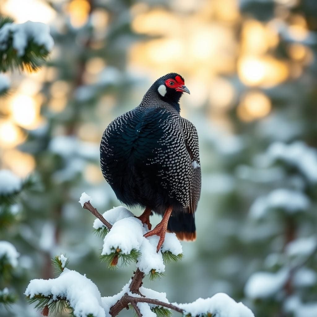
Wildlife found around Jerky Mountain to Middle Fork Loop



Compare side by side
Put the Jerky Mountain to Middle Fork Loop against any other pick on this list — specs, price, pros, cons and reader ratings.