



Reader rating
Rate it and you move it. Community ratings re-rank this product inside its Top 10 list.
Expert-picked, reader-ranked. Our editors choose the products and the launch order; member star ratings move picks up or down over time.
This is the signature weekend loop in the Gila Wilderness, packing towering canyon walls, dozens of river wades, and natural thermal soaking into a manageable sub-15-mile footprint. Starting at the TJ Corral Trailhead near the Gila Cliff Dwellings National Monument, the route ascends a sun-baked bench before plunging into the cool, slot-like narrows of Little Bear Canyon. When Little Bear hits the Middle Fork of the Gila River, the walls flare open to expose massive rhyolite spires and lush gravel bars. Jordan Hot Springs sits roughly halfway through the circuit. The pool hovers around 94 degrees Fahrenheit—lukewarm compared to high-temp tubs, but ideal for a long recovery soak after hours of wet-boot hiking. Continuing downstream along the Middle Fork River Trail (Trail 157), you negotiate roughly 25 to 30 river crossings between the spring and the Visitor Center. Each crossing ranges from mid-calf to thigh-deep depending on spring runoff. Shoulder seasons present opposing dynamics here. October and early November offer reliable knee-deep water, vibrant yellow cottonwood leaves, and minimal flash flood risk. April and May are warmer, but heavy high-country snowmelt can push river crossings past the safety threshold. Monitor the USGS Gila River discharge gauge near Gila before committing to the river canyon. **Highlights** - Mileage: 12 to 14 miles round-trip - Elevation change: Approximately 1,200 feet - Jordan Hot Springs soaking pool nestled beneath rock alcoves - Dramatic transition through the Little Bear Canyon narrows - Plentiful dispersed gravel-bar campsites shaded by boxelders and ponderosas **Watch-outs** - 30+ river crossings requiring dedicated drainage footwear and neoprene socks - High spring runoff can turn calm fords into dangerous waist-deep currents - High campsite competition near Jordan Hot Springs on spring and fall weekends
Pros
- Thermal soaking pool positioned midway through a classic wilderness canyon
- Towering volcanic rhyolite walls deliver unmatched backcountry scenery
- Continuous water source eliminates the need to carry heavy multi-day fluid weight
- No permit quotas or competitive advance reservation systems required
Cons
- Constant fording guarantees soaking wet footwear for multiple days
- Heavy campsite competition near the hot springs on shoulder-season weekends
- Spring snowmelt runoff and summer monsoons create serious flash flood risks
Best uses
- Shoulder-season three-day loops
- Thermal soak recovery trips
- Intermediate canyon backpacking
- Southwestern river trek training
Specifications
- Distance
- 12 to 14 miles loop
- Elevation Change
- 1,200 feet gain and loss
- Water Fords
- 25 to 30 river crossings
- Permit
- Free, self-issued at trailhead
- Difficulty
- Moderate to strenuous
- Primary Trailhead
- TJ Corral Trailhead
Best for
Shoulder-season three-day loops, Thermal soak recovery trips, Intermediate canyon backpacking, Southwestern river trek training
Tucked into the rugged heart of America's first designated wilderness area, this loop condenses the defining hallmarks of southwestern canyon country into an unforgettable sub-15-mile overnight route. The trek begins on the sun-baked, piñon-juniper tableland at the TJ Corral Trailhead near Gila Cliff Dwellings National Monument. It quickly drops through Little Bear Canyon, where steep volcanic ash narrows pinch inward to block the high desert sun, transitioning abruptly into the lush, towering riparian trench of the Middle Fork of the Gila River. Once on the river bottom along Trail 157, dry boots become an immediate memory. The route demands between 25 and 30 river crossings through gravel beds and boulder-strewn runs beneath massive rhyolite cliffs. Cottonwoods, sycamores, and boxelders flank the water, offering shaded campsites on sandy benches above the floodplain. The trail’s centerpiece is Jordan Hot Springs, a warm geothermal pool tucked beneath an overhanging canyon bench roughly midway through the circuit. While the mileage reads like a moderate weekend stroll, the relentless wading, shifting sand, and rocky riverbeds tax stabilizing muscles far more than standard mountain singletrack. Navigating this canyon requires careful respect for seasonal flow rates, reliable footwear drainage, and a willingness to trade pristine solitude for one of the most dynamic water hikes in North America.
Canyon Terrain and River Fording
The loop delivers two wildly contrasting environments in a single day. Starting from TJ Corral, you climb over an arid mesa before Trail 729 plunges into Little Bear Canyon, descending through an increasingly narrow slot framed by pink-and-buff volcanic tuff. When the slot abruptly spills out at the Middle Fork of the Gila River, the walls widen into a grand riparian corridor dominated by thousand-foot cliffs. From this junction downstream along Trail 157, the trail ceases to be a continuous dry track. You will cross the river dozens of times as it snakes wall-to-wall across the canyon floor. Navigating these fords requires sure footing over slick river stones, submerged cobble, and loose gravel bars. Water depth typically fluctuates between mid-calf and mid-thigh during standard baseflows, demanding trekking poles for balance and a trail runner that drains water instantly rather than waterproof boots that trap it inside.
Hydrology and Seasonal Windows
Timing this route is entirely an exercise in river monitoring. October through early November offers the premier hiking window: the summer monsoons have subsided, river discharge drops to manageable ankle-to-knee depths, daytime temperatures hover in the comfortable upper sixties, and the canyon canopy turns vivid gold. Spring brings longer daylight and pleasant afternoons, but snowmelt from the high Mogollon Crest can spike water levels dramatically in April, turning routine crossings into hazardous, waist-deep torrents running with numbing cold. Summer carries oppressive mesa heat and the daily danger of deadly monsoon flash floods from July through August, during which narrow defiles like Little Bear become impassable death traps. Always pull the real-time discharge rates from the USGS Gila River near Gila gauge before departing, and cancel the river trek if high-water advisories or intense storms threaten the drainage.
Jordan Hot Springs Realities
Jordan Hot Springs serves as the primary backcountry destination on the loop, but visitors should calibrate their expectations regarding temperature and solitude. The main pool sits sheltered beneath an amphitheater of stone and sediment, fed by thermal vents that maintain a steady temperature of around 94 degrees Fahrenheit. This makes it an ideal, skin-temperature soaking tub for extended recovery rather than a scalding winter hot pot. Because of its legendary status, the designated campsites on the forested benches surrounding the springs see intense pressure. Backpackers arriving late on a Friday or Saturday afternoon in peak spring or fall seasons will likely find every flat tent spot claimed. If you value silence, hike a mile or two past the springs downstream toward the visitor center, where secluded sandbars nestled under ponderosa pines and towering canyon bluffs offer undisturbed nights.
Wildlife and Wilderness Ethics
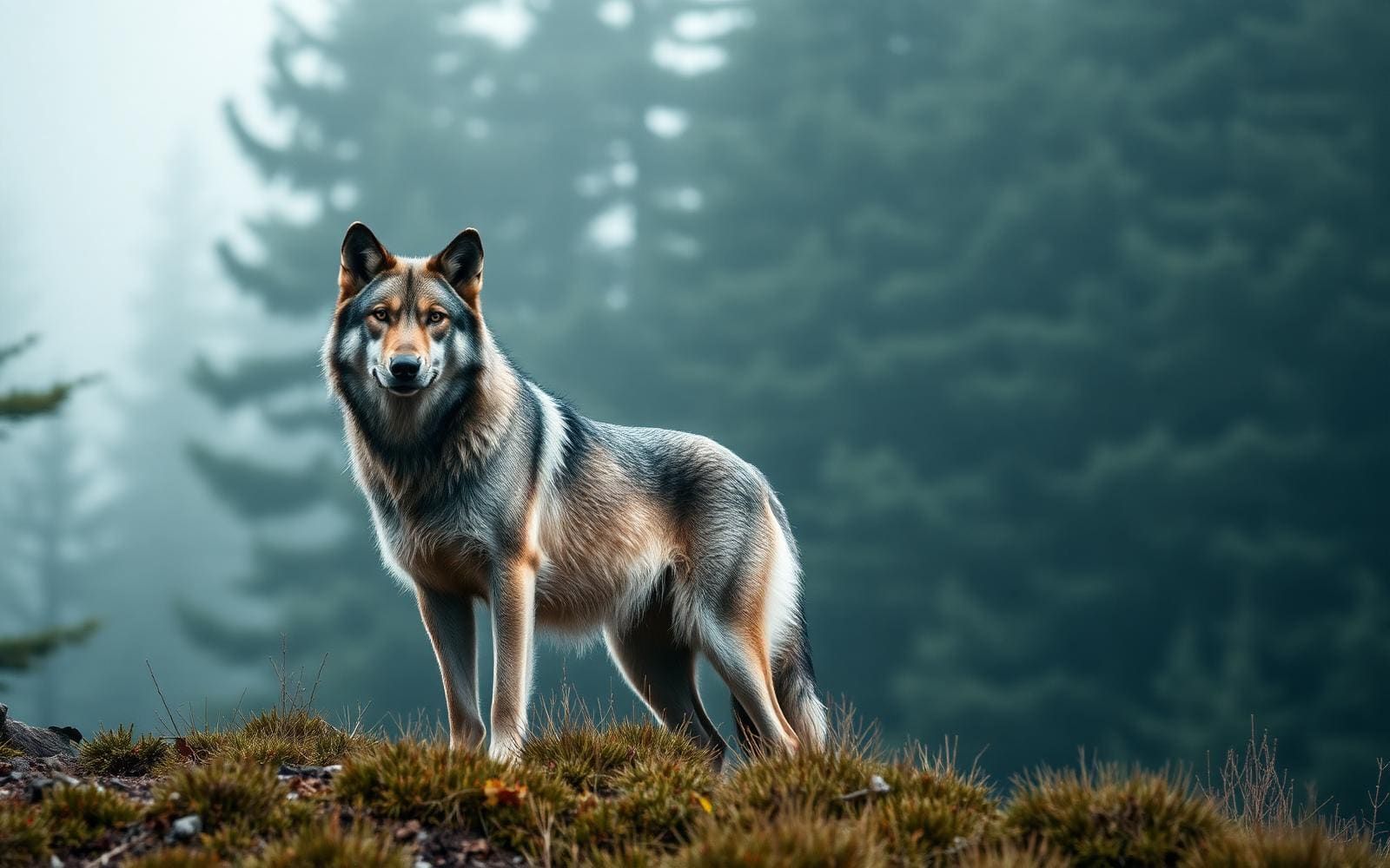
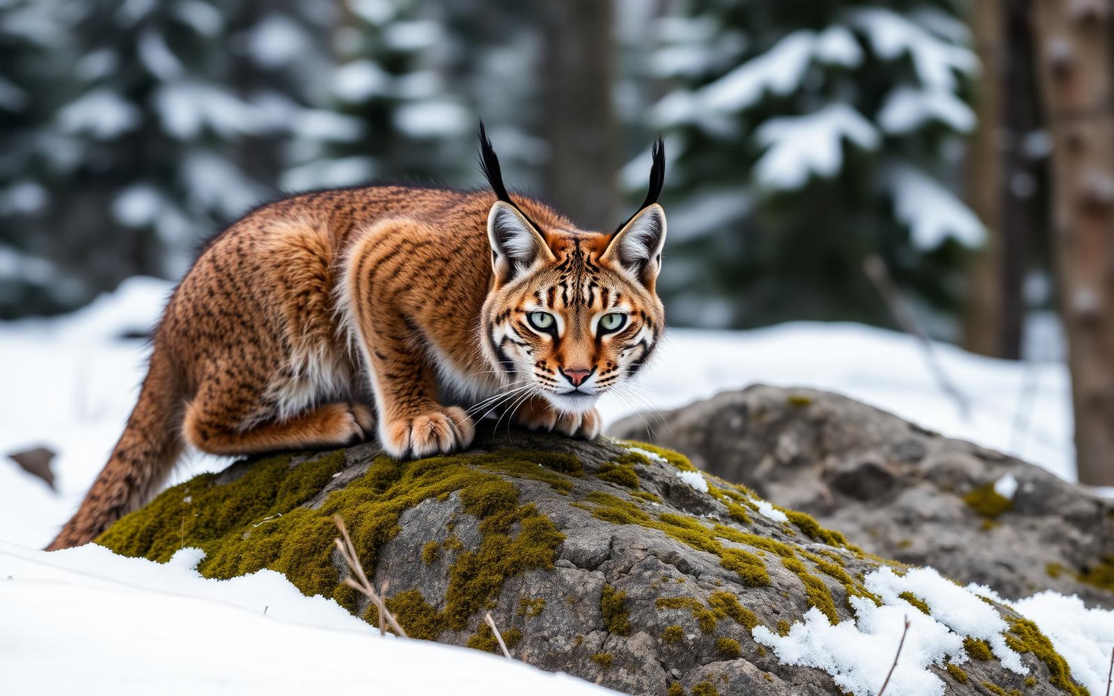
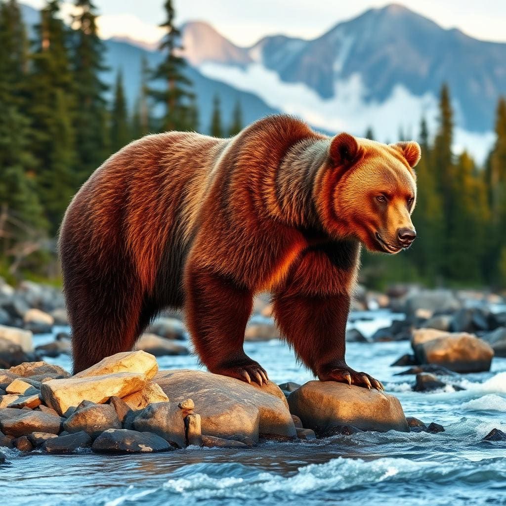
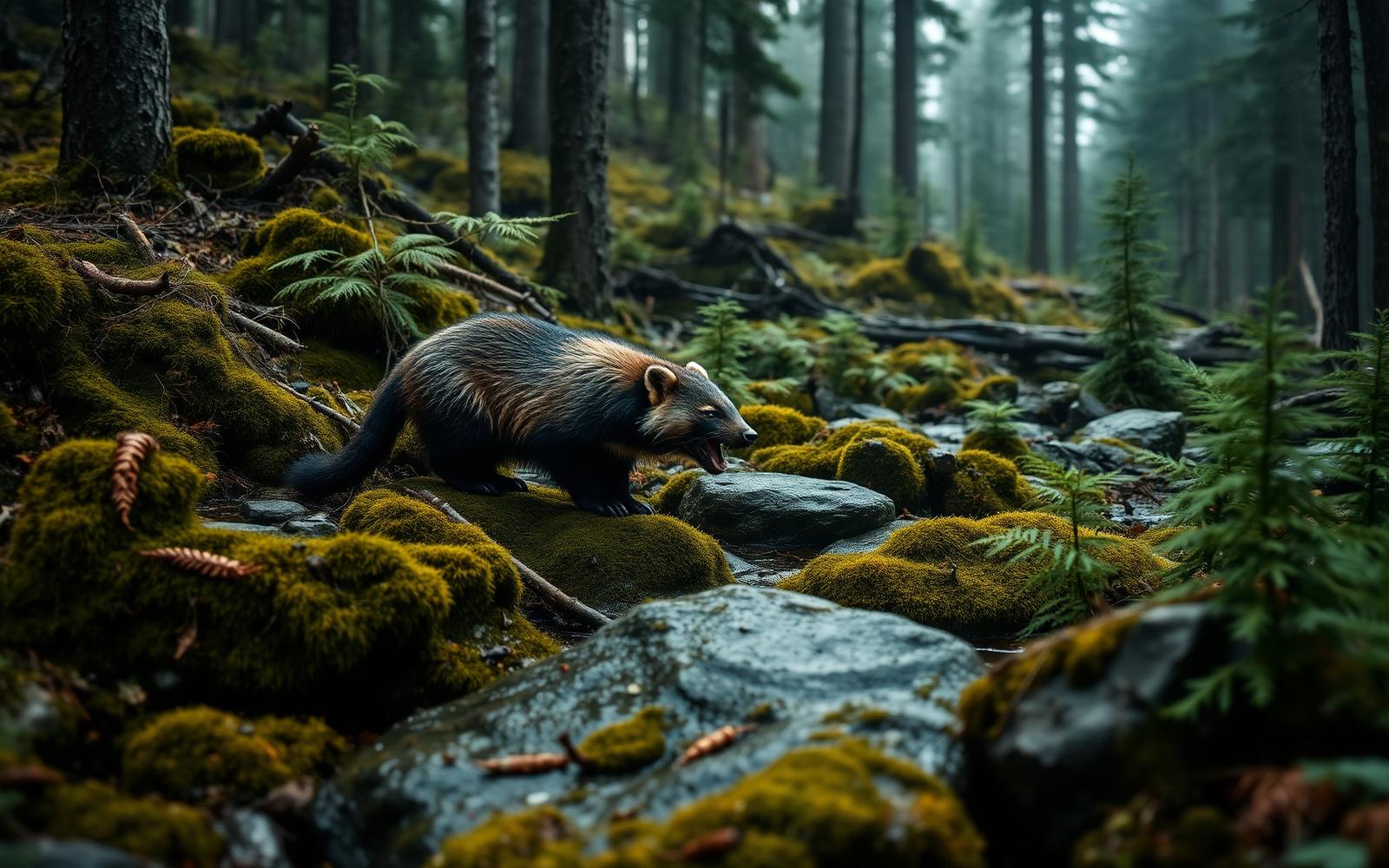
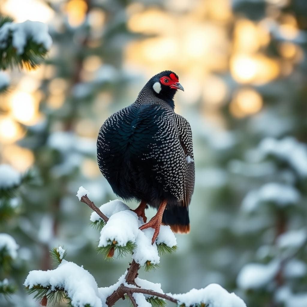
The Gila was the birthplace of federal wilderness designation, and its remote corridors remain critical habitat for diverse fauna. Black bears frequent the river bottoms to forage on acorns and berries, making proper food storage essential; carry an approved bear canister or master a counterbalanced hang on a sturdy tree limb well away from camp. Mountain lions, javelina, and rattlesnakes inhabit the dry benches, while river otters and beaver are occasionally spotted in the quieter pools at dawn and dusk. Because the canyon floor is a fragile aquatic ecosystem, camp strictly on durable gravel bars or well-established upland sites at least 200 feet from the river. Human waste must be packed out or buried at least six inches deep in the mineral soil well above the high-water line, and soaps must never enter the springs or the river.
Access, Regulations, and Logistics
Accessing the trailhead requires patience behind the wheel. The drive north from Silver City along New Mexico Highway 15 covers roughly 44 miles of narrow, guardrail-free switchbacks that take nearly two hours to negotiate. Vehicles over 20 feet should detour via Highway 35 through the Mimbres Valley instead. The hike begins at the TJ Corral Trailhead, located roughly a mile prior to the Gila Cliff Dwellings National Monument visitor center. Backcountry permits are free and self-issued at the trailhead kiosk without quota limits, though parking lots can fill completely on holiday weekends. Consider parking a second vehicle or walking the paved one-mile road shoulder between the Gila Visitor Center and TJ Corral to complete the loop, or use the short connector trail along the river to close the circuit without road walking.
How we chose
We built this ranking from land-manager and agency sources, permit records and published trip reports. Each of the 10 places was compared against the same criteria below. This is desk research unless a pick is marked field tested.
- Quality of the terrain
- Landscape, route variety, and whether the place rewards multiple days rather than one overlook.
- Season and weather windows
- How long the reliable window is, and how badly the shoulder seasons punish a bad forecast.
- Access and permits
- Trailhead logistics, permit odds, quotas, and how much lead time a trip realistically takes.
- Solitude vs. crowding
- How far you have to walk before the place feels like wilderness instead of a queue.
- Wildlife and ecology
- What you can reasonably expect to see, and what you have to plan around.
- Risk and skill required
- Navigation, water crossings, exposure, and rescue distance — stated plainly.
Middle Fork to Little Bear Canyon Loop — frequently asked questions
- Is Middle Fork to Little Bear Canyon Loop worth the trip?
- We rank it #1 in Top 10 Gila Wilderness Loops. This is the signature weekend loop in the Gila Wilderness, packing towering canyon walls, dozens of river wades, and natural thermal soaking into a manageable sub-15-mile footprint. Starting at the TJ Corral Trailhead near the Gila Cliff Dwellings National Monument, the route ascends a sun-baked bench before plunging…
- Who is Middle Fork to Little Bear Canyon Loop best for?
- Best for shoulder-season three-day loops, thermal soak recovery trips, intermediate canyon backpacking and southwestern river trek training. Standouts: thermal soaking pool positioned midway through a classic wilderness canyon and towering volcanic rhyolite walls deliver unmatched backcountry scenery.
- What are the drawbacks of Middle Fork to Little Bear Canyon Loop?
- Constant fording guarantees soaking wet footwear for multiple days, Heavy campsite competition near the hot springs on shoulder-season weekends and Spring snowmelt runoff and summer monsoons create serious flash flood risks.
- What are the key details for Middle Fork to Little Bear Canyon Loop?
- Distance: 12 to 14 miles loop · Elevation Change: 1,200 feet gain and loss · Water Fords: 25 to 30 river crossings · Permit: Free, self-issued at trailhead · Difficulty: Moderate to strenuous
- Canyon Terrain and River Fording — what should I know about the Middle Fork to Little Bear Canyon Loop?
- The loop delivers two wildly contrasting environments in a single day. Starting from TJ Corral, you climb over an arid mesa before Trail 729 plunges into Little Bear Canyon, descending through an increasingly narrow slot framed by pink-and-buff volcanic tuff.
- Hydrology and Seasonal Windows — what should I know about the Middle Fork to Little Bear Canyon Loop?
- Timing this route is entirely an exercise in river monitoring. October through early November offers the premier hiking window: the summer monsoons have subsided, river discharge drops to manageable ankle-to-knee depths, daytime temperatures hover in the comfortable upper sixties, and the canyon canopy turns vivid…
Where on earth
Satellite imagery flying in from a world view to Middle Fork to Little Bear Canyon Loop, New Mexico, United States. Use the + / − buttons, or click the map to zoom with your scroll wheel; drag to pan and pinch to zoom on touch.
Little Bear Canyon, New Mexico 88039, USA · 33.271, -108.259
Wildlife found around Middle Fork to Little Bear Canyon Loop



Compare side by side
Put the Middle Fork to Little Bear Canyon Loop against any other pick on this list — specs, price, pros, cons and reader ratings.