



Reader rating
Rate it and you move it. Community ratings re-rank this product inside its Top 10 list.
Expert-picked, reader-ranked. Our editors choose the products and the launch order; member star ratings move picks up or down over time.
For backpackers seeking a comprehensive multi-day expedition that covers the full character of the central Gila, this grand circuit connects the West Fork and Middle Fork drainages via a high traverse at The Meadows. Departing from the Gila Visitor Center, the loop follows the West Fork Trail (Trail 151) upstream through dramatic cutbanks and sheer volcanic cliffs before ascending out of the canyon toward Lilley Park and dropping into the wide, grassy valley known as The Meadows. From The Meadows, you pick up the Middle Fork Trail (Trail 157) and follow it downstream all the way back to the start, passing Jordan Hot Springs on the final leg. This route links over 50 miles of trail and requires more than 80 river crossings, making constant wet-foot travel an unavoidable reality. The reward is total immersion: you transition from narrow river corridors up through ponderosa parklands, across high pine flats, and back down into geothermal alcoves. Early fall is the premier window for this route. Spring snows can linger across Lilley Mountain and the high connector trails, masking tread and creating icy deadfall. By mid-October, the upper plateau is crisp, daytime temperatures in the canyons are mild, and river flows are manageable. **Highlights** - Mileage: 36 to 42 miles depending on junction choices - Elevation change: Approximately 3,200 feet - Complete survey of both major forks of the Gila River - Solitude in the expansive, grassy flat of The Meadows - Integration of Jordan Hot Springs on the return leg **Watch-outs** - Over 80 total river crossings across the itinerary - Trail tread through Lilley Park can be obscured by post-fire grass and fallen pine - Bitter cold drainage temperatures in the deep canyons during late October nights
Pros
- Connects both major forks of the Gila River into a complete wilderness survey
- Exceptional solitude and sprawling campsites throughout The Meadows
- Direct trail access to Jordan Hot Springs on the return trek
- Vivid contrast between steep volcanic gorges and quiet pine parklands
Cons
- Dozens of deep crossings make foot maceration and cold water exposure constant risks
- Post-burn blowdown and faint tread complicate travel through the high connector trail
- Canyon bottoms act as cold-air sinks with freezing late-season night temperatures
Best uses
- Autumn wilderness expeditions
- Experienced off-grid navigators
- Endurance-oriented multi-day trekkers
- Remote backcountry hot-spring loops
Specifications
- Distance
- 36 to 42 miles (route dependent)
- Elevation Gain
- Approx. 3,200 feet total
- Route Type
- Semi-loop / Connector circuit
- Trailheads
- Gila Visitor Center / TJ Corral
- Permits
- Free self-registration at trailhead
- Crossings
- 80+ river wades
- Optimal Window
- Late September through late October
Best for
Autumn wilderness expeditions, Experienced off-grid navigators, Endurance-oriented multi-day trekkers, Remote backcountry hot-spring loops
Linking the West Fork and Middle Fork of the Gila River by climbing across the Lilley Park plateau, this grand circuit delivers the definitive multi-day survey of the central wilderness. Beginning from the trailhead near the Gila Visitor Center, the route heads upstream along the West Fork (Trail 151), hemmed in by sheer volcanic cliffs and undercut cobblestone banks, before grinding up roughly 1,800 feet into the ponderosa pines and dropping back down to the expansive, quiet flat known as The Meadows. From that quiet interior valley, the route turns downstream along the Middle Fork (Trail 157). The canyon tightens again, leading past side drainages and natural geothermal features—including Jordan Hot Springs—before depositing you back at the trailhead hub. It is a demanding, high-mileage trek defined by stark topographic shifts between shaded riparian corridors and sunlit mesa uplands. Completing the loop requires sustained physical endurance and deliberate foot care. With over 80 river crossings scattered across 40 miles, wet boots are an unavoidable condition of travel. For backpackers with solid route-finding skills who can handle bone-chilling canyon waters and intermittent high-country blowdowns, few routes in the American Southwest match this loop for sheer scale and remote isolation.
Canyon Architecture and High Plateaus
The route showcases two dramatically distinct geological environments. Along the bottom of the West and Middle forks, you walk beneath towering walls of rhyolite and volcanic tuff that have been sculpted by millions of years of hydrologic scour. These corridors are shaded, narrow, and choked with alder, box elder, and cottonwood. In contrast, the mid-route ascent toward Lilley Mountain breaks out of the cool river cuts into dry, open ponderosa pine parklands and mixed conifer forests. The Meadows itself is an abrupt relief: a broad, grassy montane basin where the Middle Fork meanders peacefully before plunging back into a deepening, sheer-walled chasm downstream. Moving between these zones highlights the ecological variety that defines the Gila's core.
Weather Windows and Hydrology
Timing this itinerary requires a clear understanding of the Gila's runoff and monsoon cycles. Spring offers flowing water and greening willows, but snowmelt from the Mogollon Crest can push river gauges into dangerous, waist-deep territory that makes dozens of crossings hazardous or impossible. July and August bring severe afternoon monsoon thunderstorms, turning slot-like canyon sections into potential flash flood zones. The sweet spot arrives from late September through late October. By then, river flows usually drop to predictable knee-deep levels, daytime highs in the canyon bottoms hover in the 60s and 70s, and the riparian canopy turns brilliant gold. Be prepared, however, for freezing nighttime temperatures once cold air pools in the canyon troughs.
High Flat Route Navigation
While the canyon sections are bordered by insurmountable rock walls that make broad navigational errors difficult, the traverse connecting the West Fork to The Meadows presents genuine route-finding challenges. The climb up toward Lilley Park crosses terrain scarred by historic wildfires, where post-burn thickets and fallen timber routinely obliterate the tread. Cairn trails can vanish across open grass meadows and pine-needle duff. Hikers should carry up-to-date topographic maps and an offline navigation device to verify heading changes across high-country saddles. Expect to navigate over and around jackstrawed deadfall, which can slow your pace to under one mile per hour during dry-mesa ascents and descents.
Managing Constant Wet Feet
With more than 80 required wades across the West and Middle forks, dry footwear is impossible. Experienced Gila hikers abandon waterproof membrane boots, which trap water inside and stay waterlogged for days. The proven strategy is a pair of quick-draining trail runners paired with wool or synthetic socks that retain warmth when wet. Cobbles on the riverbed are frequently slick with algae, so sturdy trekking poles are indispensable for maintaining balance in moving water. Because you spend hours in chilly runoff, inspecting and drying your feet each evening is mandatory to prevent immersion foot and deep blister shear. Pack a dedicated pair of dry camp socks that never touch the trail.
Wildlife and Riparian Camps
The corridor supports healthy populations of black bears, mountain lions, javelina, and re-established Mexican gray wolves. In the deep cottonwood stands of the Middle Fork, Mexican spotted owls roost in the cool cliff recesses. Campers must practice strict food hygiene: use an approved bear-resistant canister or an effective counter-balance bear hang away from cooking areas. Established campsites exist at The Meadows and along canyon river benches, but you must pitch tents well above the active flood line. Avoid setting up directly next to geothermal pools like Jordan Hot Springs to protect delicate riparian habitats and reduce impact on nocturnal animals watering along the river.
Logistics and Critical Hazards
Reaching the trailhead requires navigating the winding curves of NM-15 north from Silver City, a narrow, paved mountain road that demands slow speeds. There are no fees or advance quota permits for backpacking here; simply sign the wilderness register at the trailhead. Beyond the obvious hazards of cold-water crossings and sudden canyon flooding, hypothermia remains a covert threat in late autumn. Cold air sinks down the river corridors, producing night temperatures well below freezing that surprise hikers who only planned for daytime desert warmth. Carry a sleeping bag rated to at least 20 degrees Fahrenheit, and always identify high-ground escape routes before making camp in narrow gorges.
How we chose
We built this ranking from land-manager and agency sources, permit records and published trip reports. Each of the 10 places was compared against the same criteria below. This is desk research unless a pick is marked field tested.
- Quality of the terrain
- Landscape, route variety, and whether the place rewards multiple days rather than one overlook.
- Season and weather windows
- How long the reliable window is, and how badly the shoulder seasons punish a bad forecast.
- Access and permits
- Trailhead logistics, permit odds, quotas, and how much lead time a trip realistically takes.
- Solitude vs. crowding
- How far you have to walk before the place feels like wilderness instead of a queue.
- Wildlife and ecology
- What you can reasonably expect to see, and what you have to plan around.
- Risk and skill required
- Navigation, water crossings, exposure, and rescue distance — stated plainly.
The Meadows via West Fork and Middle Fork — frequently asked questions
- Is The Meadows via West Fork and Middle Fork worth the trip?
- We rank it #2 in Top 10 Gila Wilderness Loops. For backpackers seeking a comprehensive multi-day expedition that covers the full character of the central Gila, this grand circuit connects the West Fork and Middle Fork drainages via a high traverse at The Meadows. Departing from the Gila Visitor Center, the loop follows the West Fork Trail (Trail 151) upstream…
- Who is The Meadows via West Fork and Middle Fork best for?
- Best for autumn wilderness expeditions, experienced off-grid navigators, endurance-oriented multi-day trekkers and remote backcountry hot-spring loops. Standouts: connects both major forks of the gila river into a complete wilderness survey and exceptional solitude and sprawling campsites throughout the meadows.
- What are the drawbacks of The Meadows via West Fork and Middle Fork?
- Dozens of deep crossings make foot maceration and cold water exposure constant risks, Post-burn blowdown and faint tread complicate travel through the high connector trail and Canyon bottoms act as cold-air sinks with freezing late-season night temperatures.
- What are the key details for The Meadows via West Fork and Middle Fork?
- Distance: 36 to 42 miles (route dependent) · Elevation Gain: Approx. 3,200 feet total · Route Type: Semi-loop / Connector circuit · Trailheads: Gila Visitor Center / TJ Corral · Permits: Free self-registration at trailhead
- Canyon Architecture and High Plateaus — what should I know about the The Meadows via West Fork and Middle Fork?
- The route showcases two dramatically distinct geological environments. Along the bottom of the West and Middle forks, you walk beneath towering walls of rhyolite and volcanic tuff that have been sculpted by millions of years of hydrologic scour.
- Weather Windows and Hydrology — what should I know about the The Meadows via West Fork and Middle Fork?
- Timing this itinerary requires a clear understanding of the Gila's runoff and monsoon cycles. Spring offers flowing water and greening willows, but snowmelt from the Mogollon Crest can push river gauges into dangerous, waist-deep territory that makes dozens of crossings hazardous or impossible.
Where on earth
Satellite imagery flying in from a world view to The Meadows via West Fork and Middle Fork, New Mexico, United States. Use the + / − buttons, or click the map to zoom with your scroll wheel; drag to pan and pinch to zoom on touch.
Gila Wilderness, Silver City, NM 88061, USA · 33.240, -108.281
Wildlife found around The Meadows via West Fork and Middle Fork

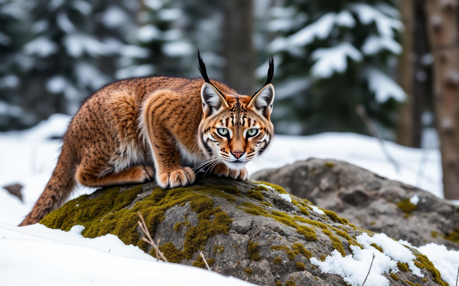


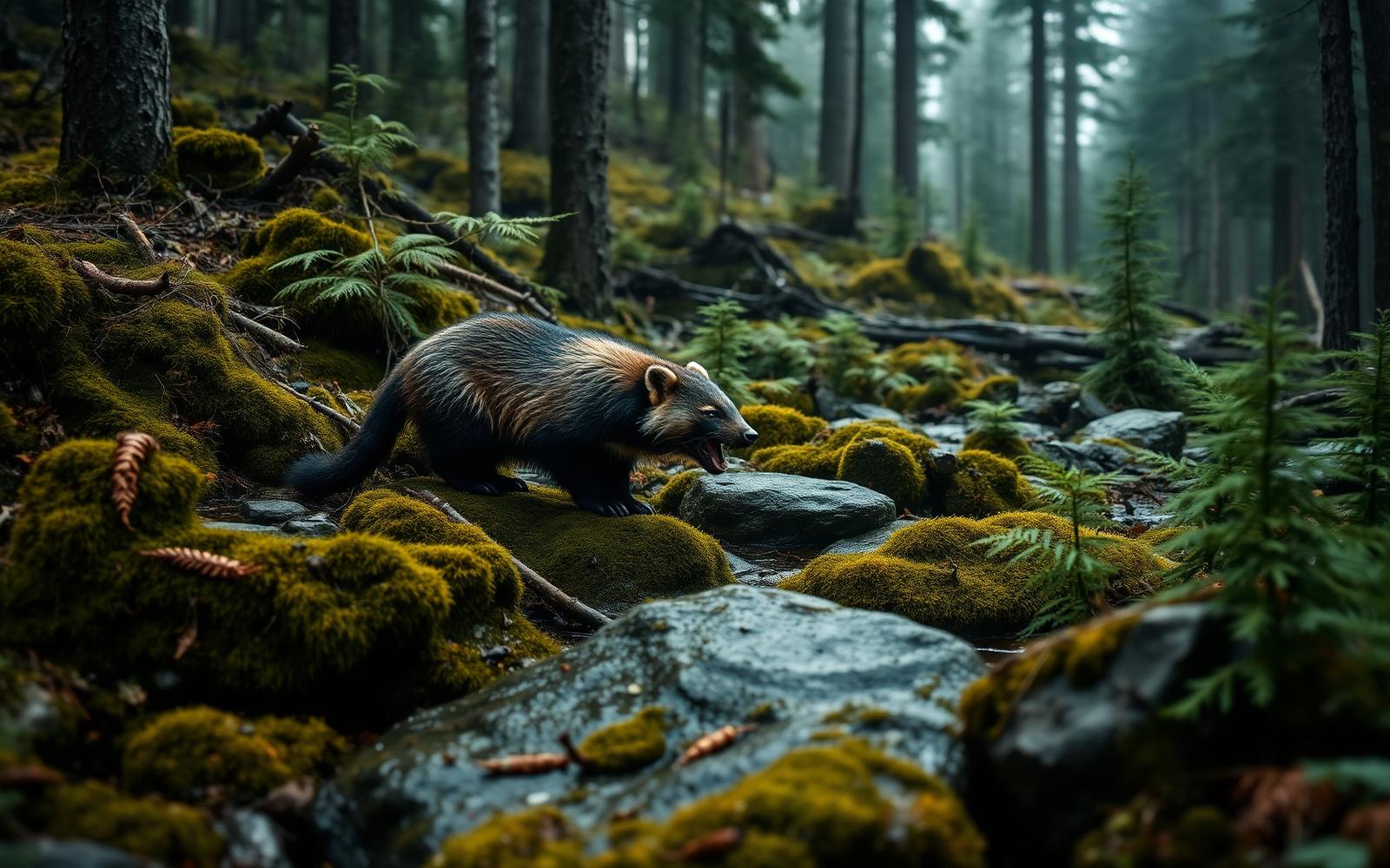

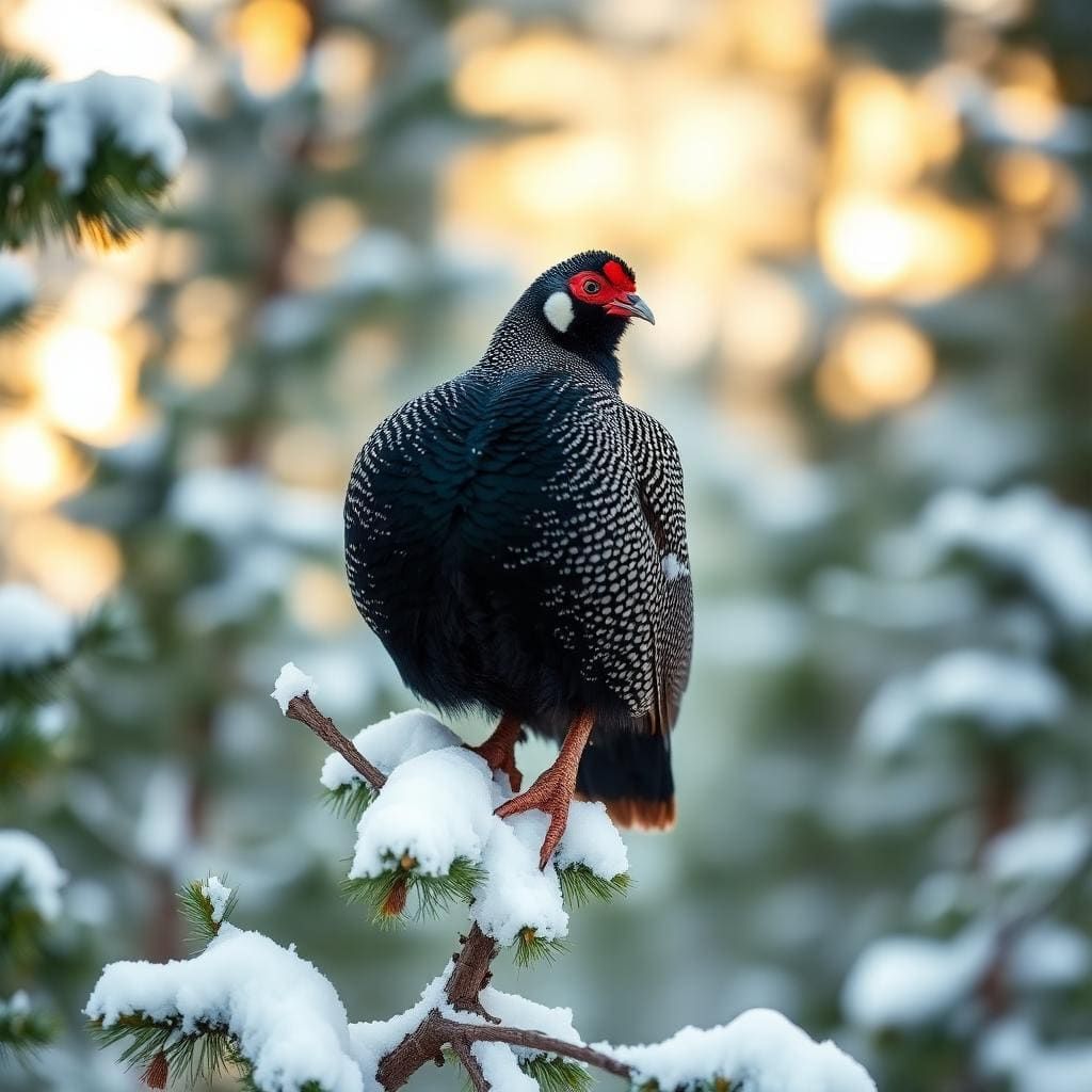

Compare side by side
Put the The Meadows via West Fork and Middle Fork against any other pick on this list — specs, price, pros, cons and reader ratings.