



Reader rating
Rate it and you move it. Community ratings re-rank this product inside its Top 10 list.
Expert-picked, reader-ranked. Our editors choose the products and the launch order; member star ratings move picks up or down over time.
If you want the raw, punishing heart of the southern Mogollon Mountains without the tourist traffic, the Rain Creek to Mogollon Creek circuit is unmatched. Starting from the Rain Creek Trailhead near Glenwood, this loop uses Trail 189 and Trail 153 to plunge into deep, isolated canyons and climb punishing volcanic divides below 74 Mountain and the Mogollon Crest. There are no developed thermal tubs here—just steep scree, steep water, and severe solitude. Mogollon Creek is a formidable mountain stream carving through an immense, steep-walled box canyon. The hiking here involves navigating chaotic boulder jams, finding faint cairns through brush, and crossing forceful, cold water. Reaching the high saddle between Rain Creek and Mogollon Creek requires a grueling climb with loose rock and severe sun exposure, but the vistas into the Gila's core wilderness are among the most jagged in the state. This loop is best attempted in late spring after snow clears the passes, or in October when the weather stabilizes. Avoid this canyon during late summer at all costs, as the sheer walls of the Mogollon Box turn the creek into a deadly trap during afternoon thunderstorms. **Highlights** - Mileage: 20 to 24 miles - Elevation change: 4,000+ feet - Immense geological scale inside the seldom-visited Mogollon Creek canyon - Pristine native Gila trout habitat in cold, shaded creek runs - Total solitude far from the visitor center trailheads **Watch-outs** - Extremely rough tread with frequent washouts, requiring expert navigation - Brutal climbs on loose gravel with little tree canopy - The Mogollon Creek Box is severely prone to flash flooding and traps hikers
Pros
- Complete wilderness solitude far from heavily trafficked hot spring corridors
- Stunning, dramatic geology with towering volcanic cliffs and sheer canyon boxes
- Cold, perennial waters hosting rare native Gila trout populations
- Demanding, authentic backcountry route-finding test for veteran hikers
Cons
- Deadly flash flood risk inside Mogollon Box during summer monsoon months
- Extremely faint and eroded tread requires persistent route-finding
- Brutal, unshaded elevation gain over loose scree and crumbling rock
Best uses
- Experienced desert canyon backpacking
- Late spring wilderness treks
- Solitude-focused remote expeditions
- Backcountry native trout angling
Specifications
- Distance
- 20 to 24 miles depending on route
- Elevation Gain
- Over 4,000 feet of climbing
- Difficulty
- Very strenuous
- Best Window
- April to May or October
- Land Manager
- Gila National Forest
- Permit
- Self-issue at trailhead, free
Best for
Experienced desert canyon backpacking, Late spring wilderness treks, Solitude-focused remote expeditions, Backcountry native trout angling
Tucked into the steep southern flank of the Mogollon Range, this rugged loop delivers an unvarnished wilderness experience far from the tourist corridors of the Gila Cliff Dwellings. The route links Rain Creek Trail with Mogollon Creek across an unforgiving volcanic divide, demanding sharp route-finding skills and serious leg conditioning. You will not find groomed tread or casual weekend parties along these trails. Instead, expect rough mountain travel through country shaped by intense fires and scouring flash floods. The terrain alternates between exposed, baking ridge ascents and deeply shaded, boulder-choked canyon bottoms. Mogollon Creek cuts through towering rhyolite formations, dropping into sheer-walled narrows where cold water and unstable talus dictate your travel pace. Trail continuity is an illusion here; tread often disappears into chaotic gravel bars and scrub oak, forcing you to pick your own line along the canyon floor. For experienced backpackers seeking total isolation in southwestern New Mexico, this circuit delivers an unmatched sense of scale. It tests your ankles, your heat tolerance on the dry climbs, and your ability to navigate slot-like river beds where safe exits do not exist.
Terrain and Route Realities
The topography of the southern Mogollons is defined by verticality. Leaving the Rain Creek trailhead, the path quickly trades high-desert scrub for steep switchbacks over crumbling volcanic tuff. Crossing the high ridge below 74 Mountain throws you into unrelenting grade changes, with loose gravel that rolls underfoot like ball bearings. Once inside the Mogollon Creek drainage, the walking transforms into an obstacle course of massive river boulders, deep gravel benches, and frequent knee-deep wades. Fallen timber from past wildfire burns clutters the upper canyon, while flash floods continually erase cairns and bank cuts. There is virtually no flat, smooth walking on this entire circuit. You must stay attentive to each foot strike to avoid twisted joints or sliding off narrow, bench-cut traverses along the canyon walls.
Weather Windows and Hazards
Timing dictates whether this trip is a gritty success or a survival situation. The prime window sits in mid-to-late spring after winter snow melts off the Mogollon Crest, and again in October when autumn stabilizes the desert sky. Summer brings the North American monsoon, typically lasting from July through early September. Backpacking Mogollon Creek during monsoon season is exceptionally dangerous; the massive watershed channels sudden cloudbursts into the sheer canyon box, generating rapid flash floods that sweep away gravel bars and offer zero avenues of escape. Spring brings high, cold runoff that can make crossings forceful, while late autumn nights regularly dip well below freezing at the canyon floor. Shoulder-season heat on the exposed divides can also punish anyone who fails to carry sufficient water between perennial creek drainages.
Wildlife and Ecology
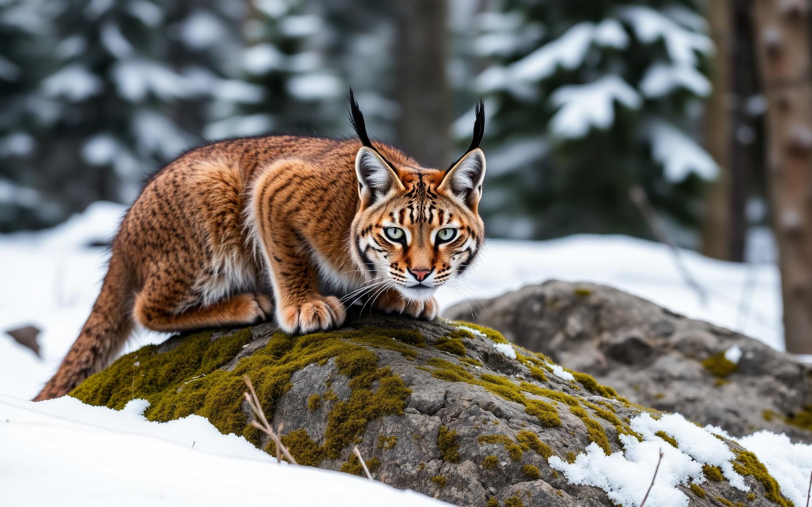
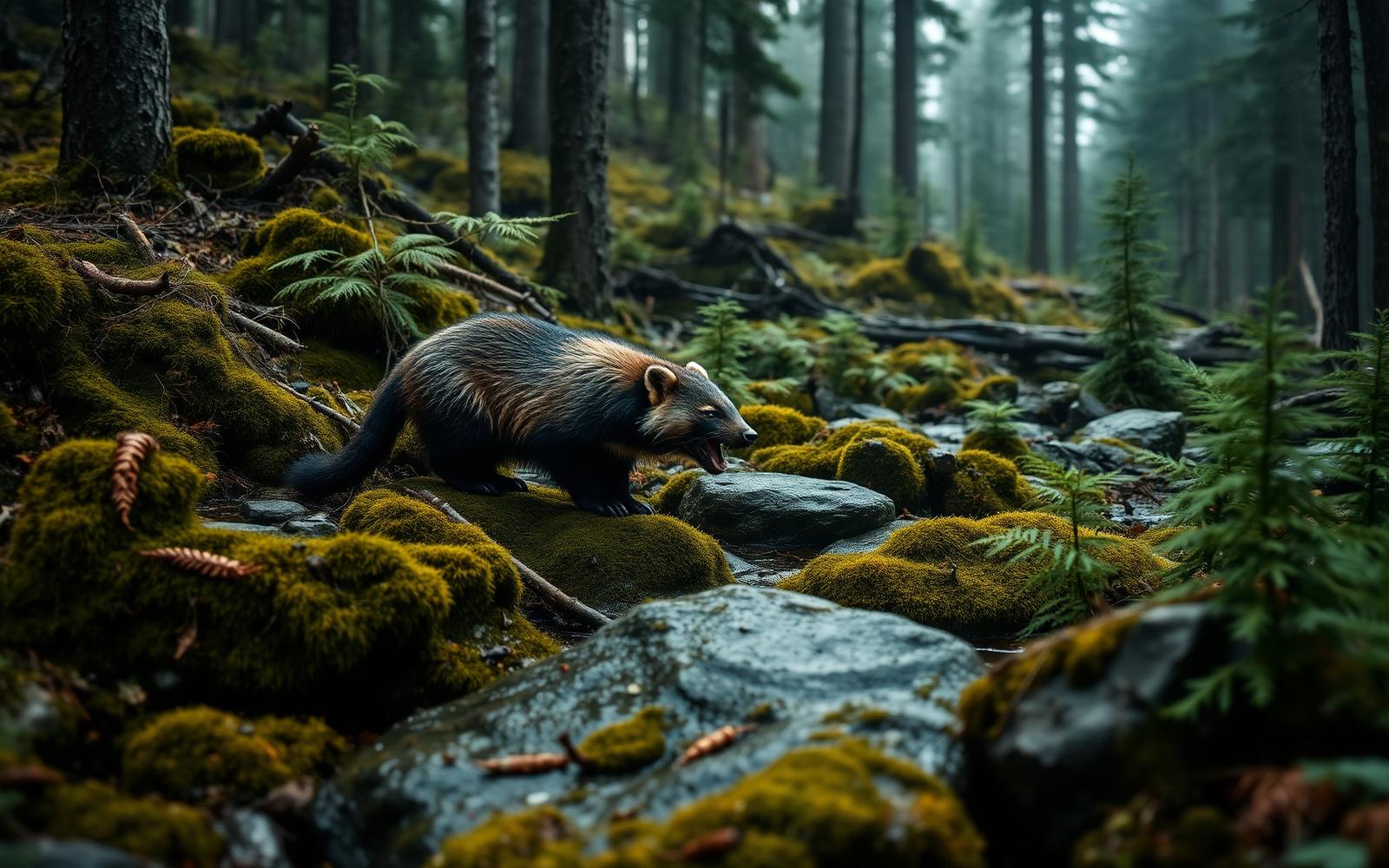
Isolation preserves a fragile ecological pocket in these deep ravines. The cold, oxygen-rich pools of Mogollon Creek sustain native Gila trout populations, representing one of the species' hard-fought strongholds after decades of restoration work. Black bears are common throughout the canyon, drawn to abundant acorn masts and riparian berry patches; storing food in hard-sided canisters or executing clean hangs away from camp is mandatory. Mountain lions inhabit the crags above, though you will rarely see more than a fresh scrape in the dust. At dawn and dusk, elk drift across the upper saddles, their calls echoing off the canyon ramparts. Birders frequently spot zone-tailed hawks riding thermals along the canyon rims, alongside western tanagers and canyon wrens fluting against the rock walls.
Navigation and Trail Finding
Traditional trail signs are either burned out, rotted, or long washed downstream. While Trail 189 and Trail 153 appear clearly drawn on topographic maps, their physical existence on the ground is highly fragmented. Navigating this loop requires strong paper-map literacy paired with a dependable offline GPS tracking device. Do not rely on finding a continuous dirt path in the canyon floors; the river itself is your primary corridor, and travel often means simply wading upstream or picking the path of least resistance through gravel bars. On the climbs up to the saddles, game paths constantly tempt hikers off the historic Forest Service alignment. Keep an eye out for weathered tree blazes and sparse rock ducks, but be fully prepared to dead-reckon your way across canyon crossings.
Permits and Logistics
Accessing the Rain Creek Trailhead requires traveling north of Silver City past Cliff, taking Highway 180 toward Glenwood before turning east onto Rain Creek Road. The final forest service dirt road can be washboarded and rocky; a high-clearance vehicle is recommended, especially after rain events. No advance permits or fees are required to backpack in the Gila Wilderness, though signing the register at the trailhead helps search and rescue teams if things go sideways. Water strategy requires careful calculation. Mogollon Creek and Rain Creek generally offer reliable perennial flow, but the long, arduous climbs over the dividing ridges are bone dry and intensely exposed. Pack sufficient capacity to carry three to four liters when ascending out of the drainages during unseasonably warm weather.
Crowds and Solitude
While destinations near the West Fork of the Gila or Jordan Hot Springs draw crowds during spring break and fall weekends, this southern loop remains profoundly quiet. You are far more likely to share the drainage with a solitary black bear or an angler packing a tenkara rod than another backpacking party. The punishing physical entry barrier keeps casual hikers away, preserving a level of silence that is increasingly difficult to locate in the American Southwest. If you pitch a tent on a gravel bar under the sycamores, expect total darkness broken only by canyon-framed stars and the rush of cold water. This extreme solitude demands complete self-sufficiency; emergency extraction here is slow, complex, and reliant on satellite communication tools.
How we chose
We built this ranking from land-manager and agency sources, permit records and published trip reports. Each of the 10 places was compared against the same criteria below. This is desk research unless a pick is marked field tested.
- Quality of the terrain
- Landscape, route variety, and whether the place rewards multiple days rather than one overlook.
- Season and weather windows
- How long the reliable window is, and how badly the shoulder seasons punish a bad forecast.
- Access and permits
- Trailhead logistics, permit odds, quotas, and how much lead time a trip realistically takes.
- Solitude vs. crowding
- How far you have to walk before the place feels like wilderness instead of a queue.
- Wildlife and ecology
- What you can reasonably expect to see, and what you have to plan around.
- Risk and skill required
- Navigation, water crossings, exposure, and rescue distance — stated plainly.
Rain Creek to Mogollon Creek Loop — frequently asked questions
- Is Rain Creek to Mogollon Creek Loop worth the trip?
- We rank it #5 in Top 10 Gila Wilderness Loops. If you want the raw, punishing heart of the southern Mogollon Mountains without the tourist traffic, the Rain Creek to Mogollon Creek circuit is unmatched. Starting from the Rain Creek Trailhead near Glenwood, this loop uses Trail 189 and Trail 153 to plunge into deep, isolated canyons and climb punishing volcanic…
- Who is Rain Creek to Mogollon Creek Loop best for?
- Best for experienced desert canyon backpacking, late spring wilderness treks, solitude-focused remote expeditions and backcountry native trout angling. Standouts: complete wilderness solitude far from heavily trafficked hot spring corridors and stunning, dramatic geology with towering volcanic cliffs and sheer canyon boxes.
- What are the drawbacks of Rain Creek to Mogollon Creek Loop?
- Deadly flash flood risk inside Mogollon Box during summer monsoon months, Extremely faint and eroded tread requires persistent route-finding and Brutal, unshaded elevation gain over loose scree and crumbling rock.
- What are the key details for Rain Creek to Mogollon Creek Loop?
- Distance: 20 to 24 miles depending on route · Elevation Gain: Over 4,000 feet of climbing · Difficulty: Very strenuous · Best Window: April to May or October · Land Manager: Gila National Forest
- Terrain and Route Realities — what should I know about the Rain Creek to Mogollon Creek Loop?
- The topography of the southern Mogollons is defined by verticality. Leaving the Rain Creek trailhead, the path quickly trades high-desert scrub for steep switchbacks over crumbling volcanic tuff.
- Weather Windows and Hazards — what should I know about the Rain Creek to Mogollon Creek Loop?
- Timing dictates whether this trip is a gritty success or a survival situation. The prime window sits in mid-to-late spring after winter snow melts off the Mogollon Crest, and again in October when autumn stabilizes the desert sky.
Where on earth
Satellite imagery flying in from a world view to Rain Creek to Mogollon Creek Loop, New Mexico, United States. Use the + / − buttons, or click the map to zoom with your scroll wheel; drag to pan and pinch to zoom on touch.
Gila National Forest, Silver City, NM 88061, USA · 33.283, -108.345
Wildlife found around Rain Creek to Mogollon Creek Loop






Compare side by side
Put the Rain Creek to Mogollon Creek Loop against any other pick on this list — specs, price, pros, cons and reader ratings.