



- Region
- AK, USA
- Country
- United States
- Best for
- hiking
- Best season
- Spring, Summer
- Permits
- Confirm current access requirements and an…
- Managed by
- U.S. Fish and Wildlife Service — Alaska Maritime National Wildlife Refuge, Aleutian Islands Unit
Plan with verified data
Bogoslof Wilderness trip tools
Tools for a trip here
Picked for how, when and where you're going. Free, no signup.
Photos of Bogoslof Wilderness
How to get there
Bogoslof lies in the Bering Sea north of Unalaska/Dutch Harbor. Access is difficult, boat arrivals are rare, and the island has no anchorages. Unalaska/Dutch Harbor provides a regional point of orientation, not a confirmed departure service. Confirm access requirements and feasible travel arrangements with Alaska Maritime National Wildlife Refuge before planning an approach.
- Unalaska/Dutch Harbor
Regional orientation point south of Bogoslof. No specific departure dock, transport service, or onward itinerary is established here.
- Bogoslof Island
The destination itself, not a confirmed landing site. Rocky beaches, persistent exposure, and the absence of anchorages make an approach hazardous; obtain current guidance from the refuge rather than selecting a landing from a map.
Sources: fws.gov · University of Montana / federal agency partners · Wilderness Connect / federal wilderness boundary inventory. Confirm road and trailhead conditions with the managing agency before you leave.
AK, USA · United States
- Winter Camping
- Skiing
- Sea Kayaking
- Beachcombing
- Hiking
- Wildlife Viewing
An active volcanic wilderness north of Unalaska
Bogoslof Wilderness protects a small, active volcanic island landscape in the Bering Sea, north of Unalaska/Dutch Harbor. Established in 1970, the 175-acre wilderness includes Bogoslof and little Fire Island and belongs to the Aleutian Islands Unit of Alaska Maritime National Wildlife Refuge. Its defining feature is change: volcanic activity has repeatedly reshaped Bogoslof, so a description of its terrain should not be treated as a dependable landing plan. Described features include rocky beaches, black lava, and Castle Rock, a rugged spire rising more than 100 feet above sea level. Grasses, sedges, and heath grow on the domed, treeless island. This is a remote wildlife refuge with difficult access, not a destination to approach as an ordinary hiking or camping trip.
Seabird colonies and marine mammal rookeries
Wildlife is central to Bogoslof's importance. Thousands of seabirds and marine mammals use this small volcanic landscape, with nesting birds including murres, kittiwakes, puffins, and gulls. Nesting numbers have been described as reaching 90,000 birds, though that figure should not be treated as a current count or a promise of what a visitor will see. Fur seals and sea lions also maintain rookeries here. With so much wildlife concentrated on limited land, avoiding disturbance should shape any proposed visit. Observation should not depend on approaching nesting birds or entering a rookery. Binoculars and a long lens are more appropriate planning tools than an expectation of close encounters. Discuss wildlife-sensitive access with refuge staff before making travel arrangements, and keep any proposed activity secondary to the island's role as habitat.
Exposure and access shape the trip
Bogoslof's maritime weather makes access a serious undertaking. Winds blow almost constantly, fog occurs in both summer and winter, and storms can persist while driving waves against the shoreline. The Bering Sea does not freeze here, but that does not make winter access straightforward or summer conditions dependable. Summer temperatures average in the low 50s and 60s Fahrenheit; winter averages fall in the low 20s and 30s. Annual precipitation is described as 73.5 inches. The island has no anchorages, and boat arrivals are rare and risky. Waterproof layers, insulation, and flexible plans are basic considerations, not solutions to the exposure. Confirm current access requirements and volcanic conditions with the refuge before committing to travel. Do not assume that reaching nearby waters means a landing will be possible.
Where on earth
Satellite imagery flying in from a world view to Bogoslof Wilderness, United States. Use the + / − buttons, or click the map to zoom with your scroll wheel; drag to pan and pinch to zoom on touch.
Coordinates
- Decimal degrees
- 53.9308, -168.0369
- Latitude (DMS)
- 53° 55′ 51.0″ N
- Longitude (DMS)
- 168° 2′ 12.8″ W
Coordinates are an access-point reference for Bogoslof Wilderness, not a route. Carry a paper map and confirm trailhead or put-in access with the managing agency before you go.
Topic summary
Russians believed that they heard the "voice of God" (bogoslof) as a fiery eruption lifted Bogoslof Island from the cold Bering Sea around 1796. Bogoslof and little Fire Island were first designated as...
Key takeaways
- Region: AK, USA
- Country: United States
- Good for: hiking
- Coordinates: 53.931, -168.037
Intended uses
hiking
Keep planning
Popular pursuits at Bogoslof Wilderness
- Winter Camping
Cold-season travel and camp craft; layering matters more than mileage.
- Skiing
Ski-touring access when the road closes for the season.
- Sea Kayaking
Coastal crossings, tides, and protected camps.
- Beachcombing
Tide-line walking between camps.
- Hiking
Day miles on marked trail, with route notes and trail links below.
- Wildlife Viewing
Best light, best season, and where animals move.
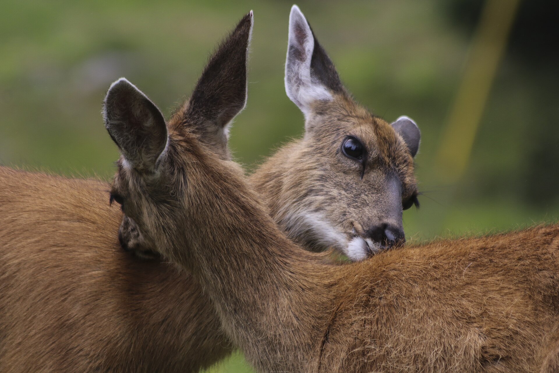
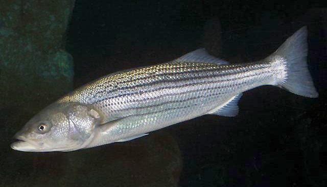
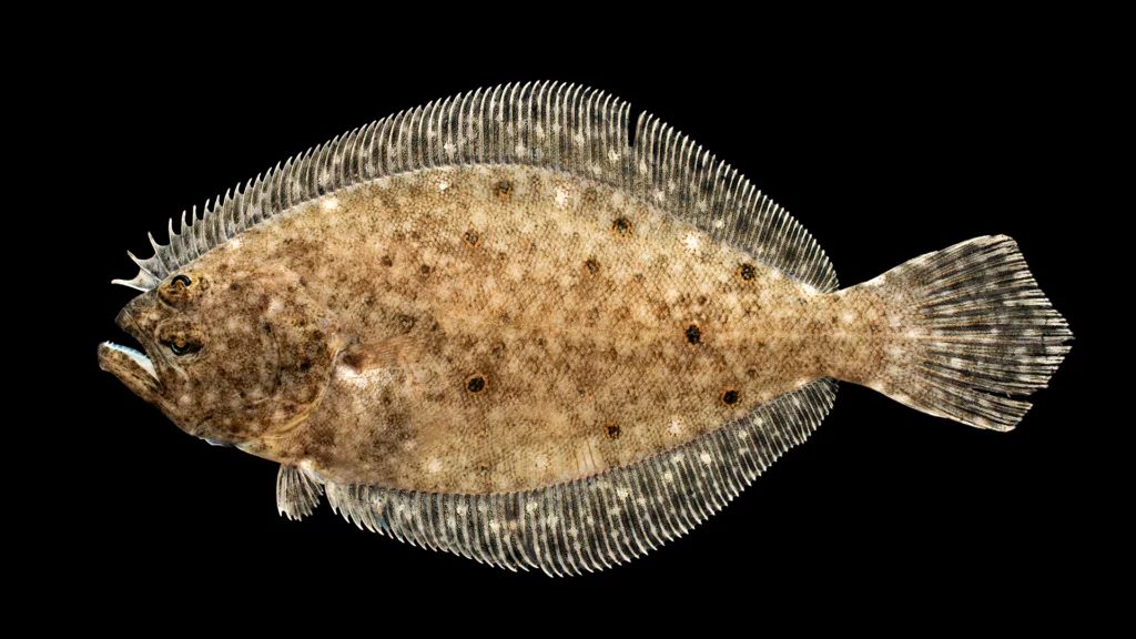
Animals around Bogoslof Wilderness
An active volcanic wilderness north of Unalaska
Bogoslof Wilderness protects a small, active volcanic island landscape in the Bering Sea, north of Unalaska/Dutch Harbor. Established in 1970, the 175-acre wilderness includes Bogoslof and little Fire Island and belongs to the Aleutian Islands Unit of Alaska Maritime National Wildlife Refuge. Its defining feature is change: volcanic activity has repeatedly reshaped Bogoslof, so a description of its terrain should not be treated as a dependable landing plan. Described features include rocky beaches, black lava, and Castle Rock, a rugged spire rising more than 100 feet above sea level. Grasses, sedges, and heath grow on the domed, treeless island. This is a remote wildlife refuge with difficult access, not a destination to approach as an ordinary hiking or camping trip.
Seabird colonies and marine mammal rookeries
Wildlife is central to Bogoslof's importance. Thousands of seabirds and marine mammals use this small volcanic landscape, with nesting birds including murres, kittiwakes, puffins, and gulls. Nesting numbers have been described as reaching 90,000 birds, though that figure should not be treated as a current count or a promise of what a visitor will see. Fur seals and sea lions also maintain rookeries here. With so much wildlife concentrated on limited land, avoiding disturbance should shape any proposed visit. Observation should not depend on approaching nesting birds or entering a rookery. Binoculars and a long lens are more appropriate planning tools than an expectation of close encounters. Discuss wildlife-sensitive access with refuge staff before making travel arrangements, and keep any proposed activity secondary to the island's role as habitat.
Exposure and access shape the trip
Bogoslof's maritime weather makes access a serious undertaking. Winds blow almost constantly, fog occurs in both summer and winter, and storms can persist while driving waves against the shoreline. The Bering Sea does not freeze here, but that does not make winter access straightforward or summer conditions dependable. Summer temperatures average in the low 50s and 60s Fahrenheit; winter averages fall in the low 20s and 30s. Annual precipitation is described as 73.5 inches. The island has no anchorages, and boat arrivals are rare and risky. Waterproof layers, insulation, and flexible plans are basic considerations, not solutions to the exposure. Confirm current access requirements and volcanic conditions with the refuge before committing to travel. Do not assume that reaching nearby waters means a landing will be possible.
Route options
- Bogoslof Island
No established hiking route or dependable landing itinerary is documented. Treat any proposed visit as an access-planning discussion with the refuge, not a self-guided route around the volcanic island.
- Fire Island
This small island is part of the wilderness, but no approach, landing location, or walking route is documented. Its inclusion in the wilderness should not be interpreted as an available side trip.
Sample itineraries
- Bogoslof feasibility assessment · 1 day
Use a planning day to contact Alaska Maritime National Wildlife Refuge about access and current volcanic conditions. Bogoslof lies north of Unalaska/Dutch Harbor, has no anchorages, and is not a routine shore destination. This is a planning outline, not a confirmed excursion.
- Scientific or educational visit planning · 2 days
Day one: discuss the proposed purpose and access requirements with refuge staff. Day two: assess marine transport, weather contingencies, and wildlife observation needs. Do not treat this as a two-day crossing or landing schedule; access is difficult and storms can persist.
Seasonal conditions
Spring
Spring; timing requires local assessment
Plan around the island's persistent wind, frequent long-lasting storms, and exposed shoreline. Do not assume spring provides a dependable access window. Confirm conditions before making transport commitments.
Summer
Summer
Summers are cool and foggy, with almost constant winds. Temperatures average in the low 50s and 60s Fahrenheit. Fog, storms, and the lack of anchorages remain important constraints even in warmer weather.
Fall
Fall; timing requires local assessment
Frequent storms and sustained wind make flexible plans essential. The barren shoreline offers no anchorages. Evaluate the actual marine forecast rather than assuming a reliable fall travel window.
Winter
Winter
Winters are foggy, with temperatures averaging in the low 20s and 30s Fahrenheit. The Bering Sea does not freeze here, but frequent, prolonged storms drive strong wind and waves against the shoreline. Open water does not mean safe access.
| Season | Window | Conditions |
|---|---|---|
| Spring | Spring; timing requires local assessment | Plan around the island's persistent wind, frequent long-lasting storms, and exposed shoreline. Do not assume spring provides a dependable access window. Confirm conditions before making transport commitments. |
| Summer | Summer | Summers are cool and foggy, with almost constant winds. Temperatures average in the low 50s and 60s Fahrenheit. Fog, storms, and the lack of anchorages remain important constraints even in warmer weather. |
| Fall | Fall; timing requires local assessment | Frequent storms and sustained wind make flexible plans essential. The barren shoreline offers no anchorages. Evaluate the actual marine forecast rather than assuming a reliable fall travel window. |
| Winter | Winter | Winters are foggy, with temperatures averaging in the low 20s and 30s Fahrenheit. The Bering Sea does not freeze here, but frequent, prolonged storms drive strong wind and waves against the shoreline. Open water does not mean safe access. |
Permits, fees & closures
Confirm current access requirements and any required authorization with Alaska Maritime National Wildlife Refuge before arranging travel.
Official source: Alaska Maritime National Wildlife Refuge Wilderness Areas · Verified October 19, 2026
Hazards & regulations
- Active volcanism: Bogoslof is a highly active volcanic island. Seek current conditions before considering an approach.
- No anchorages: boats cannot count on a sheltered place to wait near the island.
- Frequent, long-lasting storms drive wind and waves against an exposed, rocky shoreline.
- Persistent wind, fog, and cold water complicate marine travel and increase exposure risks.
- Rocky beaches and black lava require cautious footing if shore access is authorized.
- Dense seabird colonies and marine mammal rookeries are sensitive to disturbance; avoid crowding wildlife.
What to pack for Bogoslof Wilderness
- Waterproof jacket and trousers
- Insulating layers
- Warm hat and gloves
- Waterproof bags for spare clothing
- Properly fitted flotation equipment
- Emergency communication equipment
- First-aid kit
- Contingency food and drinking water
- Binoculars
- Camera with a long lens
- Weatherproof notebook
- Secure straps for equipment in wind
Bogoslof Wilderness FAQ
- Where is Bogoslof Wilderness?
- Bogoslof Wilderness lies in Alaska's Bering Sea, north of Unalaska/Dutch Harbor. It includes Bogoslof and little Fire Island and belongs to the Aleutian Islands Unit of Alaska Maritime National Wildlife Refuge.
- Is this a conventional hiking destination?
- No. Bogoslof is a remote, active volcanic island with difficult marine access and no anchorages. Treat any proposed visit as a feasibility question for refuge staff, not as a standard hiking or camping trip.
- What does the landscape look like?
- Bogoslof is domed and treeless, with rocky beaches, black lava, grasses, sedges, and heath. Castle Rock is a rugged spire rising more than 100 feet above sea level.
- What wildlife is associated with the island?
- Thousands of seabirds and marine mammals use Bogoslof. Nesting birds include murres, kittiwakes, puffins, and gulls. Fur seals and sea lions have rookeries here. Observe without approaching or disrupting colonies.
- Can the mapped inventory point be used for access?
- No. The inventory point lies inside the wilderness boundary, but it is not a trailhead, campsite, or access point. It should not be used to plan a landing.
- When was the wilderness established?
- Bogoslof Wilderness was established in 1970. Its listed area is 175 acres, and active volcanism is a defining feature of the island.