


Skip to content
Wild10

Destination guide

Allagash Wilderness Waterway

A classic northern forest traverse with big-lake wind, cold water, long isolation, and Chase Rapids logistics.

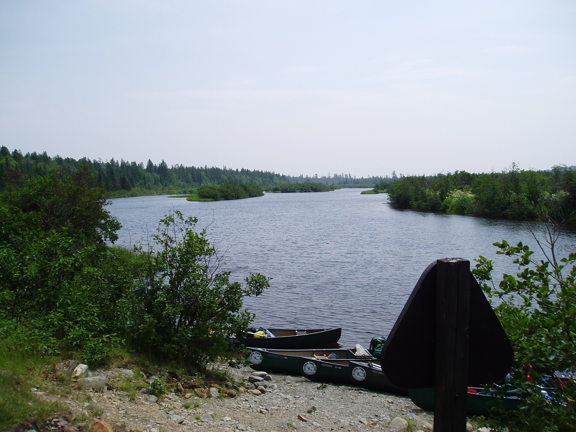
The Allagash River in northern Maine
The Allagash River in northern Maine. Photo: Shadow2700 (Public domain) — source file.

Where this trip runs

Loading official route points…
Verified September 2026

The Waterway runs north from the Telos and Chamberlain lakes, through Churchill Dam and Chase Rapids, down a chain of lakes and river miles to the St. John. Rangers register every party at the southern access and again at Michaud Farm near the north end. The Allagash Falls portage is mandatory — scout the takeout landing well above the lip.

Travel tips before you commit

Copied from the managing agency's own material. Where the agency publishes nothing, this says so.

Best months
May, June, July, August, September
Typical time
7–10 days
Distance
About 92 miles by common route
Difficulty
moderate
Permit
Overnight campers register and pay per-person, per-night fees at North Maine Woods checkpoints or with Allagash Wilderness Waterway rangers. No advance lottery — but you must pass a checkpoint to reach the put-ins, and fees are collected there.

Maine DACF — Allagash rules & fees

Permit window
Not published by the agency.
Cost
Overnight campers register and pay per-person, per-night fees at North Maine Woods checkpoints or with Allagash Wilderness Waterway rangers. No advance lottery — but you must pass a checkpoint to reach the put-ins, and fees are collected there.

Maine DACF — Allagash rules & fees

Hazards the agency names

  • Chase Rapids — Class II whitewater right after Churchill Dam
  • Heavy wind on the big lakes (Chamberlain, Eagle) that pins paddlers ashore
  • Black flies and mosquitoes through mid-June
  • Rough logging-road access that damages vehicles
  • Cold water in spring and fall

Local culture and history

Ten centuries before the lumbermen

Maine's Bureau of Parks and Lands writes that the country the lumber industry drew its wealth from was home to Native American people who settled the region ten centuries before the lumbermen came, and that the archaeological record shows a larger population during the Archaic period, 10,000 to 4,000 years ago.

The bureau reads a change of tools — stone axes and gouges for woodworking becoming less common between 4,000 and 3,500 years ago — as a shift from dugout canoes to birch bark, supported by sites moving into drainages where a heavier dugout would have been useless. The same water you paddle chose the boat.

Source: Maine DACF, Bureau of Parks and Lands — Allagash History

The lumber boom left the landmarks

The bureau's history continues into the Bangor lumber interests that reshaped the watershed with dams and tramways — the structures now preserved along the Waterway, including the Tramway Historic District and Churchill Depot.

Source: Maine DACF — Allagash History

Getting there and who to ask

Checkpoints, fees and the ranger at Churchill Dam

Access is over private roads managed by landowners organised as North Maine Woods, Inc., which monitors vehicle access through checkpoints and charges fees. Southern access is from Chamberlain Bridge, northern access from Michaud Farm.

The state's guide notes portage service around Chase Rapids is available for a small fee, 8 a.m. until noon daily — arrange it with the ranger at Churchill Dam. Trip-planning packets come from the Bureau's Northern Region Parks office in Bangor, 207-941-4014. There is no cell reception.

Source: Maine BPL — Allagash Wilderness Waterway guide & map (PDF)

Voices from the record

Quoted word for word from published accounts. We do not publish invented trip reports.

It is a magnificent, 92-mile-long ribbon of lakes, ponds, rivers, and streams winding through the heart of northern Maine's vast commercial forests.

Plan this trip