



Allagash Wilderness Waterway
A 92-mile Maine canoe classic — lakes, quickwater, and one 40-ft falls carry.
Where on earth
Satellite imagery flying in from a world view to Allagash Wilderness Waterway, United States. Use the + / − buttons, or click the map to zoom with your scroll wheel; drag to pan and pinch to zoom on touch.
- Region
- Maine, USA
- Country
- United States
- Biome
- North Maine Woods river-and-lake canoe corridor
- Best season
- Late May – September
- Trip length
- 4–10 days
- Difficulty
- moderate
- Canoeing
- Portaging
- Bushcraft
- Camping
- Kayaking
- Rafting
- Fishing
Key takeaways
- Biome: North Maine Woods river-and-lake canoe corridor
- Best season: Late May – September
- Trip length: 4–10 days
- Difficulty: moderate
- Top activity: canoe trips
- Key hazard: Chase Rapids — Class II whitewater right after Churchill Dam
Topic summary
A 92-mile Maine canoe classic — lakes, quickwater, and one 40-ft falls carry.
Key takeaways
- Difficulty: moderate
- Trip length: 4–10 days
- Best season: Late May – September
- Permit required
- Chamberlain Bridge to Allagash village — the full ~92-mile waterway
- Churchill Dam to Allagash village — the river half, including Chase Rapids and the Allagash Falls portage
Intended uses
- canoe trips
- bushcraft camping
- fishing
Climate suitability
North Maine Woods river-and-lake canoe corridor
Verification notes
Permit source: Maine DACF — Allagash rules & fees. Last verified September 15, 2026.
Plan with verified data
Allagash Wilderness Waterway trip tools
Route map
Put-in, take-out and named landmarks plotted from agency coordinates, with the source behind every point.
Open the Allagash Wilderness Waterway route mapRoute options
- Chamberlain Bridge to Allagash village — the full ~92-mile waterway
- Churchill Dam to Allagash village — the river half, including Chase Rapids and the Allagash Falls portage
Sample itineraries
- Churchill Dam to Allagash village · 5 daysThe river half of the waterway: Chase Rapids (Class II), Umsaskis and Long Lake, and the portage around Allagash Falls.
- The full waterway · 8 daysChamberlain Bridge to Allagash village — the classic traverse across the big lakes and down the river.
Seasonal conditions
| Season | Window | Conditions |
|---|---|---|
| Spring | May – mid-June | High water moves you along, but black flies and mosquitoes peak through mid-June. |
| Summer | Late June – August | Stable water and warm days — the peak season on the waterway. |
| Autumn | September | Cool, bug-free and colorful, but water runs low by late September. |
| Winter | October – April | The corridor belongs to snowmobiles and ice anglers; extreme cold. |
Permits & closures
Overnight campers register and pay per-person, per-night fees at North Maine Woods checkpoints or with Allagash Wilderness Waterway rangers. No advance lottery — but you must pass a checkpoint to reach the put-ins, and fees are collected there.
Official permit source: Maine DACF — Allagash rules & fees · Verified 2026-09-15
Closures & advisories: Maine DACF — AWW river conditions
Safety & stewardship
- Chase Rapids — Class II whitewater right after Churchill Dam
- Heavy wind on the big lakes (Chamberlain, Eagle) that pins paddlers ashore
- Black flies and mosquitoes through mid-June
- Rough logging-road access that damages vehicles
- Cold water in spring and fall
Water: Filter or treat all natural water sources. Potable water is occasionally available at ranger stations such as Churchill Dam — don't count on it.
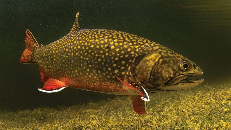
Wildlife: One of the densest moose populations in the East, plus black bears, bald eagles and native brook trout in the cold tributaries.
Emergency planning: Ranger stations carry emergency radios, but there is no cell service — a satellite messenger is strongly recommended. Log in at every checkpoint so rangers know you are on the water.
Leave No Trace: Group size is limited to 12 (larger groups need a special permit). Camp only at designated sites with authorized fire rings; carry in, carry out is strictly enforced.
Popular pursuits at Allagash Wilderness Waterway
- Canoeing
Paddle routes, portages, and put-ins.
- Portaging
Carries between lakes — the real work of a canoe route.
- Bushcraft
Fire, shelter, and cutting-tool work in this landscape.
- Camping
Established and dispersed camps within reach of the trailhead.
- Kayaking
Sheltered and open-water paddling lines.
- Rafting
Whitewater sections and the flows that make them run.
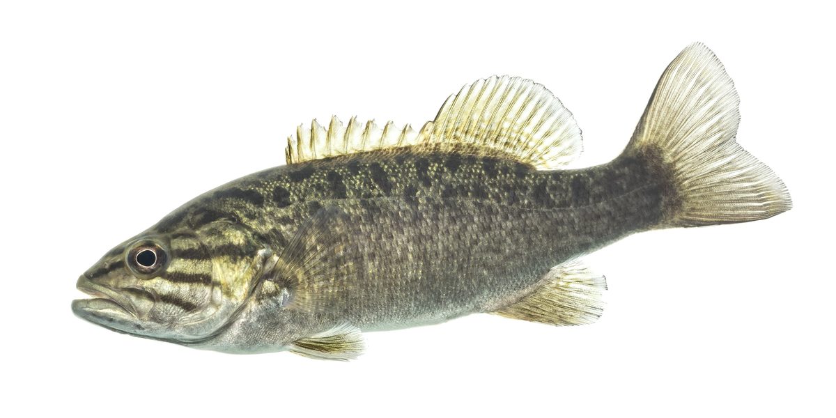
Animals around Allagash Wilderness Waterway
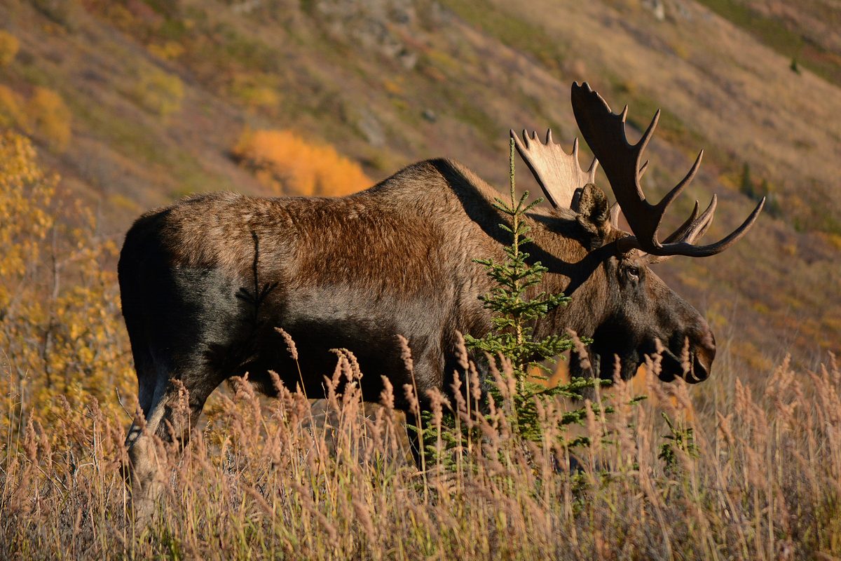
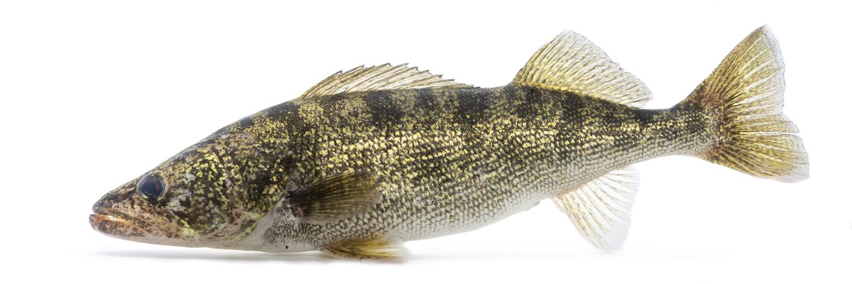

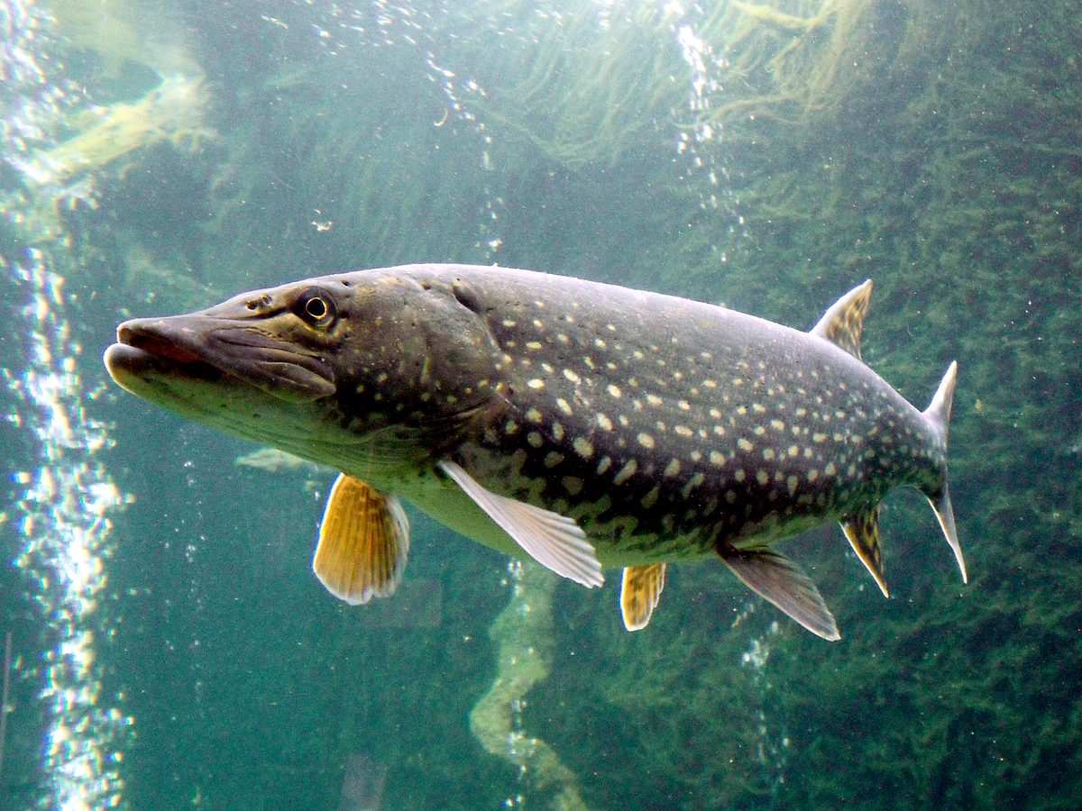
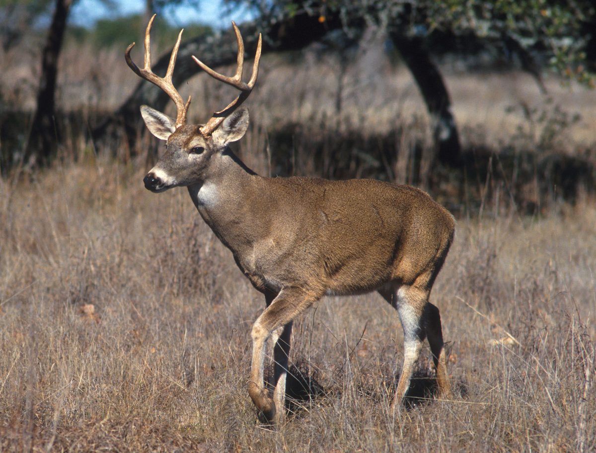
Packing checklist
- PFD per person
- River-rated canoe
- Waterproof dry bags
- Spare paddle
- Bug head nets or mesh shelter
- Water purifier
- Topographic river maps
- Fire starter
- First aid kit
- Satellite communicator
- Sturdy footwear for portages and lining
Recommended gear
Featured in these Top 10 lists
- Top 10 Extreme Canoe Trips in the U.S. — ranked #9
Browse every destination we cover in the Destination Hub.