


Skip to content
Wild10

Destination guide

Middle Fork Salmon River

A 104-mile wilderness river with continuous rapids; an open-canoe descent belongs only to expert whitewater paddlers.

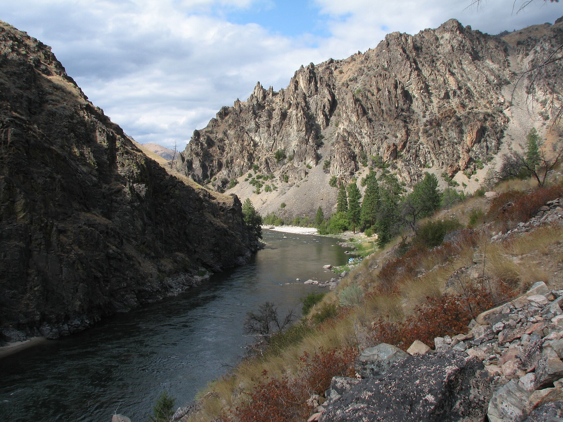
The Middle Fork of the Salmon River running through the Frank Church–River of No Return Wilderness, Idaho
The Middle Fork of the Salmon River running through the Frank Church–River of No Return Wilderness, Idaho. Photo: Rex Parker (CC BY 2.0) — source file.

Where this trip runs

Loading official route points…
Verified September 2026

This is a lottery-permit river. Only two points on the run have coordinates published by the managing agencies — the launch and the take-out — so this map stays deliberately thin rather than pinning rapids from outfitter logs. Dagger Falls sits immediately below the put-in, and the run ends at the Main Salmon confluence just above Cache Bar. Carry the Forest Service river map for rapid-by-rapid detail.

Travel tips before you commit

Copied from the managing agency's own material. Where the agency publishes nothing, this says so.

Best months
June, July, August, September
Typical time
5–7 days
Distance
104 miles
Difficulty
Continuous wilderness whitewater
Permit
A float permit is required year-round for every boater on the Middle Fork. During the control season (May 28 – September 3) permits are allocated by competitive lottery through Recreation.gov; outside those dates you self-issue. Confirm the current season dates before applying.

Recreation.gov — Middle Fork of the Salmon permit

Permit window
Opens May 28, closes September 3.

Recreation.gov — Middle Fork of the Salmon permit

Cost
Not published by the agency.

Hazards the agency names

  • Class III–IV+ whitewater; some rapids reach Class V at high water
  • Cold-water immersion and hypothermia, even in summer
  • Log jams and sweepers that shift every runoff
  • Wildfire and smoke in mid-to-late summer
  • Total remoteness — no road access along the corridor
  • Rattlesnakes at riverside camps

Local culture and history

Mountain Shoshone country

The Salmon-Challis National Forest's own history pages record that the Mountain Shoshone — the Sheepeater Indians — are considered the first residents of the upper Lemhi Valley, dating back 8,000 years or more, and that archaeological work shows continuous occupation across that span.

The forest also records that the Mountain Shoshone were great fishermen who built weirs and dams to catch salmon, and shared their Salmon River fishing grounds with the Nez Perce from the north and west and the Flathead from the Bitterroot Valley.

Source: USFS Salmon-Challis National Forest — Discover History

Getting there and who to ask

We have not verified published gateway services, shuttles or office details for this trip. Use the route map's access points and contact the managing agency directly — we will not guess at outfitters or prices.

Voices from the record

Quoted word for word from published accounts. We do not publish invented trip reports.

The Mountain Shoshone (Sheepeater Indians) are considered the first residents of the upper Lemhi Valley, dating back 8000 years or more.

Plan this trip