



Middle Fork of the Salmon
104 miles of legendary whitewater through the Frank Church Wilderness — hot springs, Sheepeater rock art, and 300+ rapids.
Where on earth
Satellite imagery flying in from a world view to Middle Fork of the Salmon, United States. Use the + / − buttons, or click the map to zoom with your scroll wheel; drag to pan and pinch to zoom on touch.
- Region
- Idaho, USA
- Country
- United States
- Biome
- Frank Church–River of No Return Wilderness whitewater canyon, Idaho
- Best season
- Late June – early September
- Trip length
- 5–6 days
- Difficulty
- expert
- Canoeing
- Portaging
- Bushcraft
- Camping
- Rafting
- Desert Hiking
- Canyoneering
- Fishing
Key takeaways
- Biome: Frank Church–River of No Return Wilderness whitewater canyon, Idaho
- Best season: Late June – early September
- Trip length: 5–6 days
- Difficulty: expert
- Top activity: canoe trips
- Key hazard: Class III–IV+ whitewater; some rapids reach Class V at high water
Topic summary
104 miles of legendary whitewater through the Frank Church Wilderness — hot springs, Sheepeater rock art, and 300+ rapids.
Key takeaways
- Difficulty: expert
- Trip length: 5–6 days
- Best season: Late June – early September
- Permit required
- Boundary Creek to Cache Bar — the full 104 miles, the standard 6-day trip
- Indian Creek to Cache Bar — ~70 miles, the low-water fly-in option
Intended uses
- canoe trips
- bushcraft camping
- fishing
Climate suitability
Frank Church–River of No Return Wilderness whitewater canyon, Idaho
Verification notes
Permit source: Recreation.gov — Middle Fork of the Salmon permit. Last verified September 15, 2026.
Plan with verified data
Middle Fork of the Salmon trip tools
Route map
Put-in, take-out and named landmarks plotted from agency coordinates, with the source behind every point.
Open the Middle Fork of the Salmon River route mapRoute options
- Boundary Creek to Cache Bar — the full 104 miles, the standard 6-day trip
- Indian Creek to Cache Bar — ~70 miles, the low-water fly-in option
- Marsh Creek put-in — early-season high-water alternative to Boundary Creek
Sample itineraries
- The Standard · 6 daysBoundary Creek to Cache Bar, 104 miles — all the named rapids, hot springs and riverside camps.
- Low-water fly-in · 5 daysIndian Creek to Cache Bar, ~70 miles, skipping the bony upper miles in September.
Seasonal conditions
| Season | Window | Conditions |
|---|---|---|
| Spring | May – mid-June | Snowmelt runoff: big, cold, pushy Class IV water. For expert whitewater parties only. |
| Summer | Late June – August | Receding, stable flows and warm days — the main season most permits target. |
| Autumn | September | Low water; many parties fly in to Indian Creek and float the lower 70 miles. Cold nights. |
| Winter | October – April | Snow closes access roads and the river ices over. Not a paddling season. |
Permits & closures
A float permit is required year-round for every boater on the Middle Fork. During the control season (May 28 – September 3) permits are allocated by competitive lottery through Recreation.gov; outside those dates you self-issue. Confirm the current season dates before applying.
Official permit source: Recreation.gov — Middle Fork of the Salmon permit · Verified 2026-09-15
Closures & advisories: Salmon-Challis National Forest alerts & notices
Safety & stewardship
- Class III–IV+ whitewater; some rapids reach Class V at high water
- Cold-water immersion and hypothermia, even in summer
- Log jams and sweepers that shift every runoff
- Wildfire and smoke in mid-to-late summer
- Total remoteness — no road access along the corridor
- Rattlesnakes at riverside camps
Water: Flows are measured at USGS gauge 13309220 (Middle Fork Salmon River near Point of Rocks). The comfortable range for most craft is roughly 2,800–8,000 CFS; above that is expert territory, and below ~1,200 CFS the upper miles turn to rock gardens.
Wildlife: Bighorn sheep on the canyon walls, black bears around camps (bear-resistant food storage required), mountain goats, bald eagles and rattlesnakes.
Emergency planning: There is no cell coverage anywhere in the corridor. The Indian Creek Ranger Station (river mile ~25) is the only staffed point mid-trip. Carry a satellite messenger and leave a full float plan with your take-out shuttle.
Leave No Trace: USFS corridor rules require a metal fire pan for every fire, a portable toilet system (groover) for all human waste, and a strainer for gray water. Everything packs out.
Popular pursuits at Middle Fork of the Salmon
- Canoeing
Paddle routes, portages, and put-ins.
- Portaging
Carries between lakes — the real work of a canoe route.
- Bushcraft
Fire, shelter, and cutting-tool work in this landscape.
- Camping
Established and dispersed camps within reach of the trailhead.
- Rafting
Whitewater sections and the flows that make them run.
- Desert Hiking
Water carries and heat management drive the plan.
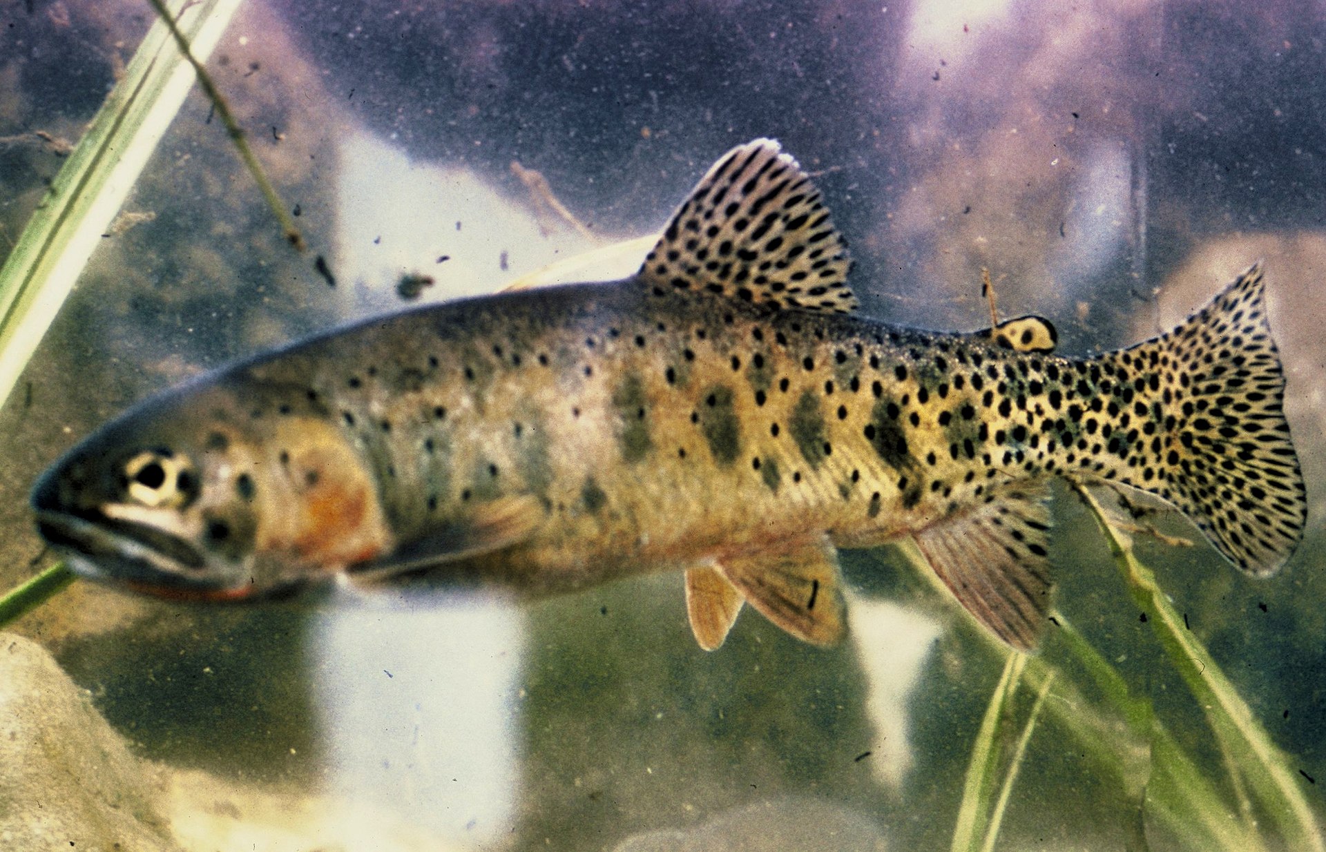
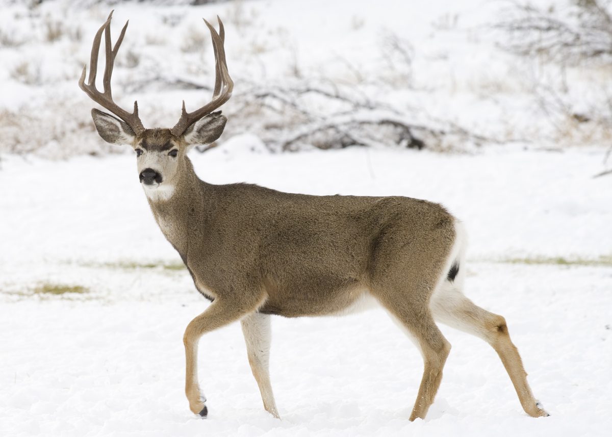
Animals around Middle Fork of the Salmon






Packing checklist
- Type III/V PFD
- Whitewater helmet
- Spare paddle
- Throw bag
- Boat repair kit
- Metal fire pan (min. 12"×12")
- Portable toilet (groover)
- Kitchen tarp / floor
- Gray-water strainer
- Dry suit or splash top (spring)
- Sun protection
- Bear-resistant food storage
Recommended gear
Featured in these Top 10 lists
- Top 10 Extreme Canoe Trips in the U.S. — ranked #2
Browse every destination we cover in the Destination Hub.