


Skip to content
Wild10

Destination guide

Upper Missouri River Breaks

A deceptively calm 149-mile corridor where heat, thunderstorms, wind, lightning, mud, and scarce exits define the challenge.

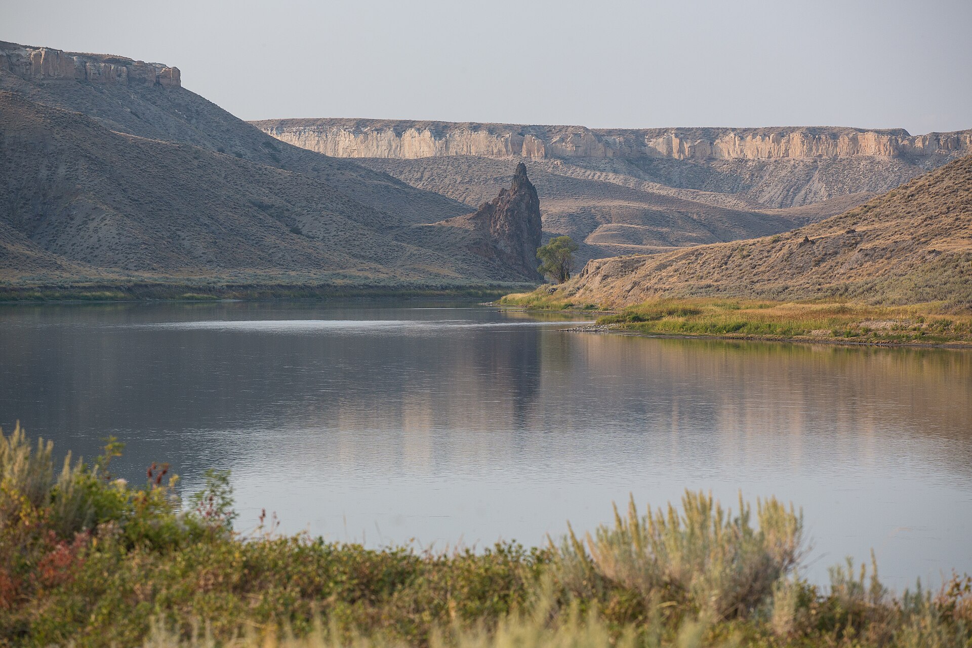
Cliffs and open plains along the Missouri River in the Upper Missouri River Breaks National Monument, Montana
Cliffs and open plains along the Missouri River in the Upper Missouri River Breaks National Monument, Montana. Photo: Bureau of Land Management (Public domain) — source file.

Where this trip runs

Loading official route points…
Verified September 2026

Most parties run the White Cliffs section from Coal Banks Landing to Judith Landing, then continue into the Breaks to James Kipp if they have the days. Launch registration is required, water is scarce, and the wind runs upstream most afternoons. Fort Benton is the upstream start for full-length trips and the location of the monument's interpretive center.

Travel tips before you commit

Copied from the managing agency's own material. Where the agency publishes nothing, this says so.

Best months
May, June, July, August, September
Typical time
8–10 days
Distance
149 miles
Difficulty
moderate
Permit
No fee or lottery for private groups under 20, but self-registration at the launch point is mandatory for all river users — it is the BLM's only safety record that you are on the river.

BLM — Upper Missouri River Breaks FAQ

Permit window
Not published by the agency.
Cost
No fee or lottery for private groups under 20, but self-registration at the launch point is mandatory for all river users — it is the BLM's only safety record that you are on the river.

BLM — Upper Missouri River Breaks FAQ

Hazards the agency names

  • Summer heat over 100°F with almost no shade
  • 'Gumbo' bentonite mud after rain — impassable on foot and at landings
  • Strong upstream wind that can stop a canoe dead
  • No cell service for most of the 149-mile corridor
  • Prairie rattlesnakes in tall grass and rock crevices
  • Deadfalls and sweepers, especially below Judith Landing

Local culture and history

A river that still looks like the journals

BLM describes the monument's 375,000-plus acres of open plains, striking cliffs and river landscapes as remaining much as they were during the Lewis and Clark Expedition, and says the area contains important cultural and historical sites, including those tied to Native American history and early homesteaders.

The agency's own framing is what makes this trip unusual: you are not looking at a restored landscape but at one that, in its words, has retained much of its unspoiled character over the centuries.

Source: BLM — Upper Missouri River Breaks National Monument

Getting there and who to ask

We have not verified published gateway services, shuttles or office details for this trip. Use the route map's access points and contact the managing agency directly — we will not guess at outfitters or prices.

Voices from the record

Quoted word for word from published accounts. We do not publish invented trip reports.

The rugged landscape has retained much of its unspoiled character over the centuries and, as a result, offers outstanding opportunities for solitude and dispersed recreation.

Plan this trip