



Upper Missouri Breaks
A 149-mile paddle through the Lewis and Clark corridor — white cliffs and prairie badlands.
Where on earth
Satellite imagery flying in from a world view to Upper Missouri Breaks, United States. Use the + / − buttons, or click the map to zoom with your scroll wheel; drag to pan and pinch to zoom on touch.
- Region
- Montana, USA
- Country
- United States
- Biome
- Prairie badlands river corridor, Montana
- Best season
- May – September
- Trip length
- 3–8 days
- Difficulty
- moderate
- Canoeing
- Portaging
- Bushcraft
- Camping
- Kayaking
- Fishing
Key takeaways
- Biome: Prairie badlands river corridor, Montana
- Best season: May – September
- Trip length: 3–8 days
- Difficulty: moderate
- Top activity: canoe trips
- Key hazard: Summer heat over 100°F with almost no shade
Topic summary
A 149-mile paddle through the Lewis and Clark corridor — white cliffs and prairie badlands.
Key takeaways
- Difficulty: moderate
- Trip length: 3–8 days
- Best season: May – September
- Coal Banks Landing to Judith Landing — the White Cliffs section, ~47 miles
- Judith Landing to James Kipp Recreation Area — the remote Badlands reach
Intended uses
- canoe trips
- bushcraft camping
- fishing
Climate suitability
Prairie badlands river corridor, Montana
Verification notes
Permit source: BLM — Upper Missouri River Breaks FAQ. Last verified September 15, 2026.
Plan with verified data
Upper Missouri Breaks trip tools
Route map
Put-in, take-out and named landmarks plotted from agency coordinates, with the source behind every point.
Open the Upper Missouri River Breaks route mapRoute options
- Coal Banks Landing to Judith Landing — the White Cliffs section, ~47 miles
- Judith Landing to James Kipp Recreation Area — the remote Badlands reach
- Fort Benton to James Kipp — the full ~149-mile monument traverse
Sample itineraries
- White Cliffs section · 4 daysCoal Banks Landing to Judith Landing — the iconic white sandstone formations and the Hole-in-the-Wall hike.
- The Badlands reach · 4 daysJudith Landing to James Kipp — wilder, more remote scenery and higher wildlife density.
Seasonal conditions
| Season | Window | Conditions |
|---|---|---|
| Spring | May – June | High, silty snowmelt water and fast flows; daytime highs in the 50s–60s. |
| Summer | July – August | Intense heat (90–100°F+), falling water and afternoon thunderstorms. |
| Autumn | September – October | Stable weather, clear skies and cool nights — a favorite window. |
| Winter | November – April | The river can freeze; sub-zero temperatures and wind make travel dangerous. |
Permits & closures
No fee or lottery for private groups under 20, but self-registration at the launch point is mandatory for all river users — it is the BLM's only safety record that you are on the river.
Official permit source: BLM — Upper Missouri River Breaks FAQ · Verified 2026-09-15
Closures & advisories: BLM — plan your visit
Safety & stewardship
- Summer heat over 100°F with almost no shade
- 'Gumbo' bentonite mud after rain — impassable on foot and at landings
- Strong upstream wind that can stop a canoe dead
- No cell service for most of the 149-mile corridor
- Prairie rattlesnakes in tall grass and rock crevices
- Deadfalls and sweepers, especially below Judith Landing
Water: The Missouri runs heavily silted. Settle the sediment with alum before filtering, or carry all your drinking water from the launch. Check BLM flow advisories before committing.
Wildlife: The largest bighorn sheep herd in the lower 48, plus elk, mule deer, bald eagles and — below Judith Landing — growing numbers of bears.
Emergency planning: Carry a satellite communicator. The BLM Lewistown Field Office is the managing contact; leave a detailed itinerary with someone ashore. Rescue on the remote reaches is measured in days.
Leave No Trace: Fire pans and portable toilet systems are required for all overnight trips, and all human waste and trash pack out — the riverbank ecosystem is fragile desert.
Popular pursuits at Upper Missouri Breaks
- Canoeing
Paddle routes, portages, and put-ins.
- Portaging
Carries between lakes — the real work of a canoe route.
- Bushcraft
Fire, shelter, and cutting-tool work in this landscape.
- Camping
Established and dispersed camps within reach of the trailhead.
- Kayaking
Sheltered and open-water paddling lines.
- Fishing
Resident gamefish, seasons, and the water that holds them.
Animals around Upper Missouri Breaks


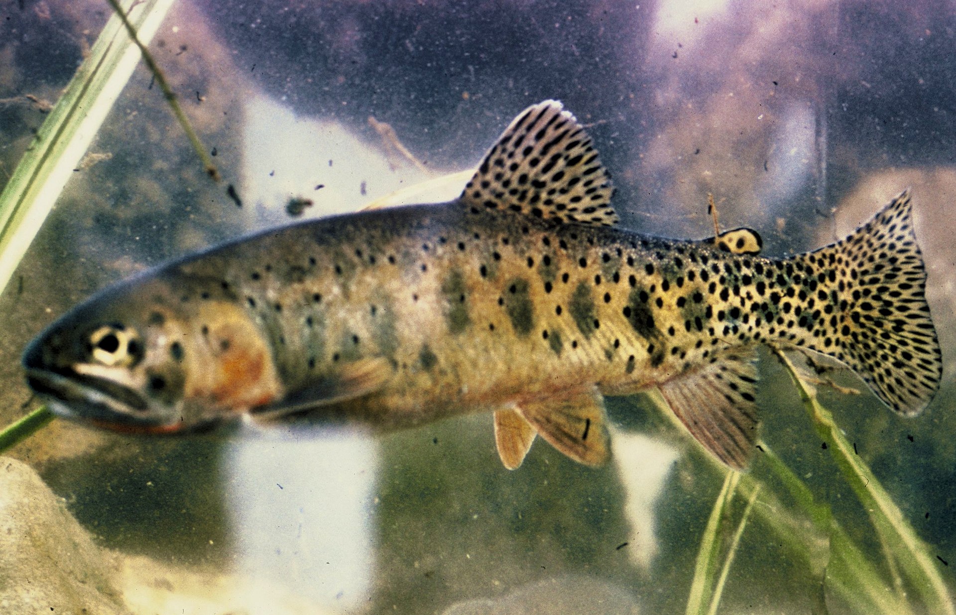

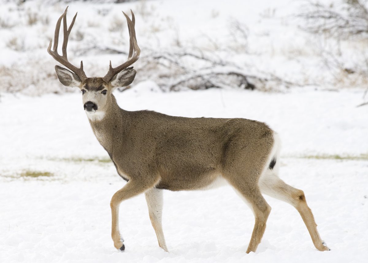



Packing checklist
- Extra-long bow and stern lines (for mud)
- Heavy-duty sand stakes
- Alum settling kit with buckets
- High-SPF sunblock
- Wide-brimmed hat
- Long-sleeve sun shirts
- Slip-on 'gumbo' shoes
- Portable toilet system or WAG bags
- Fire pan
- Mesh gear-drying bags
Recommended gear
Featured in these Top 10 lists
- Top 10 Extreme Canoe Trips in the U.S. — ranked #10
Browse every destination we cover in the Destination Hub.