



- Region
- British Columbia, Canada
- Best season
- Spring, Summer
- Permits
- Confirm entry requirements, activity permi…
Plan with verified data
Yoho National Park trip tools
Tools for a trip here
Picked for how, when and where you're going. Free, no signup.
Photos of Yoho National Park
How to get there
Use Field, British Columbia, beside the Trans-Canada Highway, as the arrival and orientation point. Yoho lies in southeastern British Columbia, with Kootenay National Park to the south and Banff National Park to the east in Alberta.
- Field, British Columbia
The settlement containing Yoho's administrative and visitor centre, beside the Trans-Canada Highway.
- Yoho administrative and visitor centre
Located in Field. Use this as an orientation stop to confirm current access and route information before an outdoor outing.
Sources: Wikipedia · Wikivoyage. Confirm road and trailhead conditions with the managing agency before you leave.
British Columbia, Canada · Season: Best: July to September
- Climbing
- Hiking
- Canoeing
- Fishing
The country
Yoho occupies the steep western slopes of the Continental Divide, dramatically characterized by sheer vertical limestone walls and plunging waterfalls. Glacial rivers have carved deep gorges through the valleys, flanked by ancient high-elevation fossil beds. The park’s weather is wetter and heavier than its eastern neighbor, Banff.
Why enthusiasts come
Those seeking heavily concentrated alpine beauty flock to the legendary trails surrounding Lake O'Hara. Scientists and paleontology enthusiasts book guided tours to view the Burgess Shale, containing perfectly preserved Cambrian fossils. Hardcore hikers endure grueling climbs to witness the magnitude of Takakkaw Falls from above.
Top experiences
The Iceline Trail offers a spectacular day hike navigating barren lateral moraines directly parallel to massive hanging glaciers. The Lake O'Hara Alpine Circuit challenges hikers with steep scree slopes and terrifying cliff ledges overlooking surreal blue waters. Guided hikes to the Walcott Quarry allow visitors to physically touch 500-million-year-old fossils.
Planner-relevant notes
Bus access to Lake O'Hara operates on a strict lottery system and spaces are virtually impossible to get without planning. Walking the 11km fire road to Lake O'Hara is permitted but bikes are strictly banned. The switchbacks ascending to Takakkaw Falls are extremely tight and prohibit oversized RVs.
Field notes
- If you miss the Lake O'Hara bus, hike the 11km road early; you can often buy a return bus ticket out with cash.
- The Iceline trail features zero shade and highly reflective rock; intense sun protection is mandatory.
- Fossil collecting in the Burgess Shale is penalized heavily with massive fines and prison time.
- Expect the bridge at the start of the Iceline trail to freeze overnight, making it incredibly slick.
Where on earth
Satellite imagery flying in from a world view to Yoho National Park, British Columbia, Canada. Use the + / − buttons, or click the map to zoom with your scroll wheel; drag to pan and pinch to zoom on touch.
Coordinates
- Decimal degrees
- 51.4647, -116.4867
- Latitude (DMS)
- 51° 27′ 52.9″ N
- Longitude (DMS)
- 116° 29′ 12.1″ W
Coordinates are an access-point reference for Yoho National Park, not a route. Carry a paper map and confirm trailhead or put-in access with the managing agency before you go.
Topic summary
Vertical rock walls, spectacular waterfalls, and dizzying high-alpine traverses define this dramatic western slope of the Divide.
Key takeaways
- Region: British Columbia, Canada
- Best season: Best: July to September
- Coordinates: 51.465, -116.487
Climate suitability
Best: July to September
Keep planning
Popular pursuits at Yoho National Park
Animals around Yoho National Park
 Wildlife guideTimber wolfCanis lupus
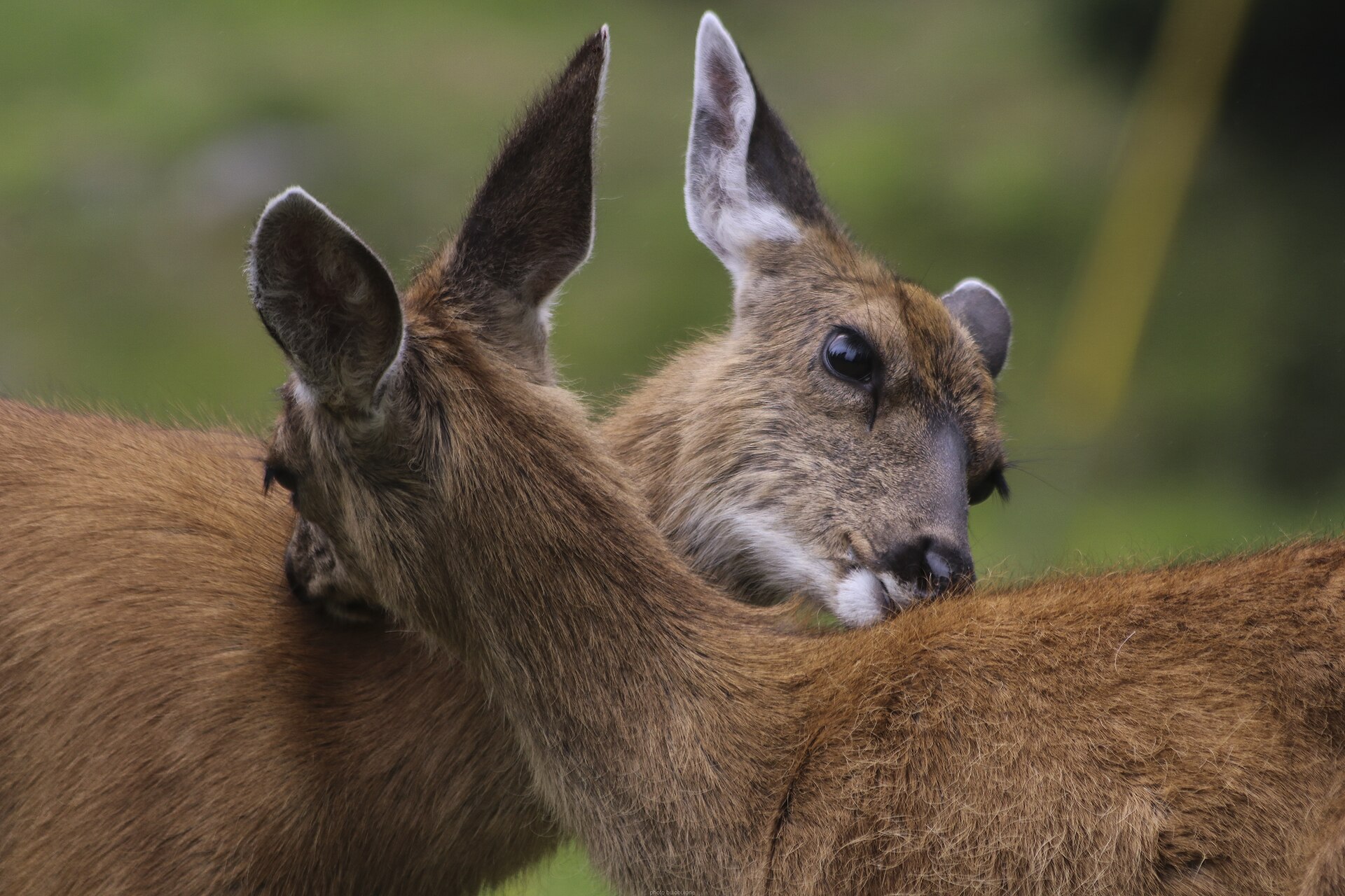 Big gameBlacktail DeerOdocoileus hemionus columbianus
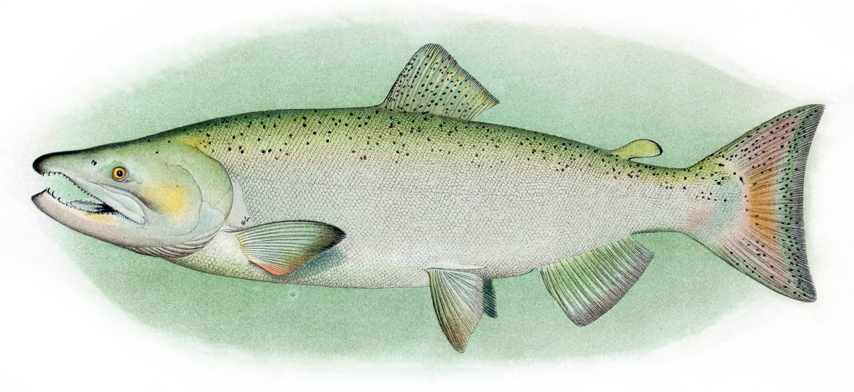 GamefishPacific SalmonOncorhynchus spp.
 Wildlife guideCanada lynxLynx canadensis
 Big gameElkCervus canadensis
 GamefishRainbow TroutOncorhynchus mykiss
 Wildlife guideBlack bearUrsus americanus
 Big gameBlack BearUrsus americanus
Western slope of the Canadian Rockies
Yoho National Park occupies the western slope of the Continental Divide in southeastern British Columbia. Its defining terrain is a combination of massive ice fields and mountain peaks, including some of the highest in the Canadian Rockies. That setting makes elevation and mountain weather central to outdoor planning: pack layers, carry weather protection, and choose objectives that match the conditions and the group's experience. The park covers 1,313 square kilometres, making it the smallest of the four contiguous national parks in this part of the Rockies. Smallest does not mean gentle or straightforward. Treat the scale of the mountains, rather than the park's relative size, as the better guide to preparation, and distinguish a visitor-centre stop from any outing into higher terrain.
Field as a planning anchor
Field, British Columbia, is Yoho's administrative and visitor-centre location, beside the Trans-Canada Highway. It is the clearest starting point for getting oriented before choosing an outdoor objective. Use the visitor centre to confirm current access, suitable routes, and any requirements with the managing agency before heading farther into the park. A highway arrival and a mountain outing call for different levels of preparation; being close to a major road does not establish the difficulty or accessibility of the surrounding terrain. Keep the first part of the visit flexible enough to adjust plans after checking conditions. For a trip focused on hiking or higher ground, obtain route-specific information rather than relying on a broad description of Yoho's peaks and ice fields.
Yoho within the larger mountain landscape
Yoho borders Kootenay National Park to the south and Banff National Park to the east, across the provincial boundary in Alberta. Along with Jasper, those parks form the region's four contiguous national parks. They also join British Columbia's Hamber, Mount Assiniboine, and Mount Robson provincial parks in the Canadian Rocky Mountain Parks World Heritage Site. This wider geography is useful when deciding whether Yoho is the main destination or one part of a broader Rockies trip. Adjoining protected areas do not, by themselves, establish a practical travel route or a short transfer. Keep itinerary choices tied to confirmed access and the time available. Within Yoho, Field provides a concrete planning anchor, while the mountainous setting calls for conservative choices when conditions are uncertain.
Route options
- Trans-Canada Highway approach to Field
A road-based arrival option using Field as the destination for park orientation. Confirm onward access before selecting a mountain objective.
- Field visitor-centre stop
An orientation option rather than a trail itinerary: start at the park's administrative and visitor centre in Field, then select an outing using current, route-specific guidance.
Sample itineraries
- Field orientation and a flexible park day · 1 day
Start at the visitor centre in Field, beside the Trans-Canada Highway. Confirm current conditions and suitable outings before choosing the day's activity. Keep the plan modest and matched to the weather, equipment and mountain experience of the group.
- Two-day Yoho mountain visit · 2 days
Use the first day to orient in Field and select an outing with current local guidance. Reserve the second day for another park outing suited to conditions. Treat Yoho's high peaks and ice fields as serious mountain terrain, not automatic additions to a casual sightseeing plan.
Seasonal conditions
Spring
Confirm the mountain transition locally
Do not assume spring weather in Field means similar conditions higher up. In a park of high peaks and ice fields, plan conservatively around cold conditions and check the suitability of any intended outing.
Summer
Check conditions for the intended elevation
Summer does not remove the need for mountain preparation. Carry warm layers and weather protection, and distinguish ordinary park outings from travel onto ice fields or high peaks.
Fall
Let current conditions determine the plan
Keep outings flexible as temperatures and weather change. Seek local advice before committing to higher terrain, and carry enough insulation to remain comfortable if the day turns colder than expected.
Winter
Confirm suitable activities before travel
Prepare for cold mountain conditions rather than assuming summer outings remain appropriate. Ask for current guidance in Field and choose activities that match winter skills and equipment.
| Season | Window | Conditions |
|---|---|---|
| Spring | Confirm the mountain transition locally | Do not assume spring weather in Field means similar conditions higher up. In a park of high peaks and ice fields, plan conservatively around cold conditions and check the suitability of any intended outing. |
| Summer | Check conditions for the intended elevation | Summer does not remove the need for mountain preparation. Carry warm layers and weather protection, and distinguish ordinary park outings from travel onto ice fields or high peaks. |
| Fall | Let current conditions determine the plan | Keep outings flexible as temperatures and weather change. Seek local advice before committing to higher terrain, and carry enough insulation to remain comfortable if the day turns colder than expected. |
| Winter | Confirm suitable activities before travel | Prepare for cold mountain conditions rather than assuming summer outings remain appropriate. Ask for current guidance in Field and choose activities that match winter skills and equipment. |
Permits, fees & closures
Confirm entry requirements, activity permits and any booking requirements with the park's managing agency before travelling.
Confirm current permits, fees, and closures with the managing agency before you go.
Hazards & regulations
- High mountain terrain: choose objectives that match the group's fitness, equipment and experience.
- Ice fields: do not treat travel onto ice as an extension of an ordinary walk; seek qualified guidance.
- Mountain weather and cold: carry protective layers and change plans when conditions exceed the group's preparation.
What to pack for Yoho National Park
- Insulating layers
- Weatherproof outer layer
- Footwear suited to the chosen terrain
- Warm hat and gloves
- Drinking water
- Food and extra snacks
- First-aid supplies
- Navigation tools
- Headlamp
- Current park information
- An outing plan matched to the group's abilities
- A backup plan for poor weather
Yoho National Park FAQ
- Where is Yoho National Park?
- Yoho lies in southeastern British Columbia, Canada, in the Rocky Mountains on the western slope of the Continental Divide. Kootenay National Park borders it to the south, and Banff National Park lies to the east in Alberta.
- Where should a visit begin?
- Field, British Columbia, contains the park's administrative and visitor centre beside the Trans-Canada Highway. It is a practical starting point for checking current conditions and selecting suitable activities.
- What defines Yoho's landscape?
- Massive ice fields and high mountain peaks define the park. Some peaks rank among the highest in the Canadian Rockies, so elevation and mountain conditions should shape trip planning.
- How large is the park?
- Yoho covers 1,313 square kilometres. It is the smallest of the four contiguous national parks in the region: Yoho, Jasper, Kootenay and Banff.
- Is Yoho part of a World Heritage Site?
- Yes. Yoho belongs to the Canadian Rocky Mountain Parks World Heritage Site, together with Jasper, Kootenay and Banff national parks and Hamber, Mount Assiniboine and Mount Robson provincial parks.