



Beyond Alone · Best: Oct-Mar
Big Thicket National Preserve
A complex biological crossroads of swamps, pine flatwoods, and carnivorous plant bogs best explored via multi-day primitive sandbar canoe camping.
Where on earth
Satellite imagery flying in from a world view to Big Thicket National Preserve, Texas, USA. Use the + / − buttons, or click the map to zoom with your scroll wheel; drag to pan and pinch to zoom on touch.
- Region
- Texas, USA
- Canoeing
- Kayaking
- Desert Hiking
- Canyoneering
- Sea Kayaking
- Beachcombing
- Backpacking
- Wildlife Viewing
- Area/Length
- 113,114 acres
- Elevation
- 10 ft to 100 ft
- Best window
- October to March
- Key draws
- Sandbar camping, botany
- Access
- Beaumont or Kountze areas
Topic summary
A complex biological crossroads of swamps, pine flatwoods, and carnivorous plant bogs best explored via multi-day primitive sandbar canoe camping. This sprawling East Texas preserve forms a unique biological crossroads where southeastern swamps meet eastern deciduous forests and gulf coastal plains. The incredibly diverse ecology ranges from stagnant, cypress-lined
Key takeaways
- Area/Length: 113,114 acres
- Elevation: 10 ft to 100 ft
- Best window: October to March
- Key draws: Sandbar camping, botany
- Access: Beaumont or Kountze areas
Intended uses
- Wilderness trip planning and destination research
- Access: Beaumont or Kountze areas
Verification notes
Compiled from published show records, regional agencies, and topographical / satellite imagery. Region: Texas, USA. Coordinates: 30.408, -94.392.
The country
This sprawling East Texas preserve forms a unique biological crossroads where southeastern swamps meet eastern deciduous forests and gulf coastal plains. The incredibly diverse ecology ranges from stagnant, cypress-lined bayous to arid sandhills speckled with rare carnivorous pitcher plants.
Why enthusiasts come
Botanists and kayakers prize the preserve for its sheer botanical density and isolated, slow-moving waterways. The complete lack of established backcountry campsites allows for a genuine, pioneering sandbar camping experience on the river.
Top experiences
Paddling a heavily loaded canoe down Village Creek provides multiday, unstructured camping on pristine, white sandbars. Bushwhacking lightly through the Lance Rosier Unit introduces hikers to a dense, unforgiving jungle-like ecosystem buzzing with life.
Planner-relevant notes
A free backcountry camping permit must be acquired at the visitor center prior to departure. The dense undergrowth harbors numerous venomous snakes, including water moccasins and copperheads; careful foot placement is vital. Summer heat and humidity are dangerously oppressive, making the cooler months the only feasible time for extensive exploration.
Field notes
- Avoid sloughs disconnected from the main channel; they are stagnant mosquito breeding grounds.
- Log jams happen frequently; paddle with enough headway to reverse cleanly out.
- Sandbars disappear entirely during heavy rainfall events upriver.
- Water filters clog immediately in the silt; rely entirely on bringing large jugs of water.
Frequently asked about Big Thicket National Preserve
- Where is Big Thicket National Preserve?
- Big Thicket National Preserve is in Texas, USA. A complex biological crossroads of swamps, pine flatwoods, and carnivorous plant bogs best explored via multi-day primitive sandbar canoe camping.
- How do you get to Big Thicket National Preserve?
- Access: Beaumont or Kountze areas. Expect a multi-leg trip — flights to the nearest hub, then float plane, boat, or 4WD depending on conditions.
Build a ten for Big Thicket National Preserve
Assemble your own 10-item Alone loadout tuned to this biome — cold, wet, and food strategy already scoped.
Open the builderShelter that suits this terrain
Browse shelter builds and site-selection guides matched to conditions like the ones here.
Wildlife
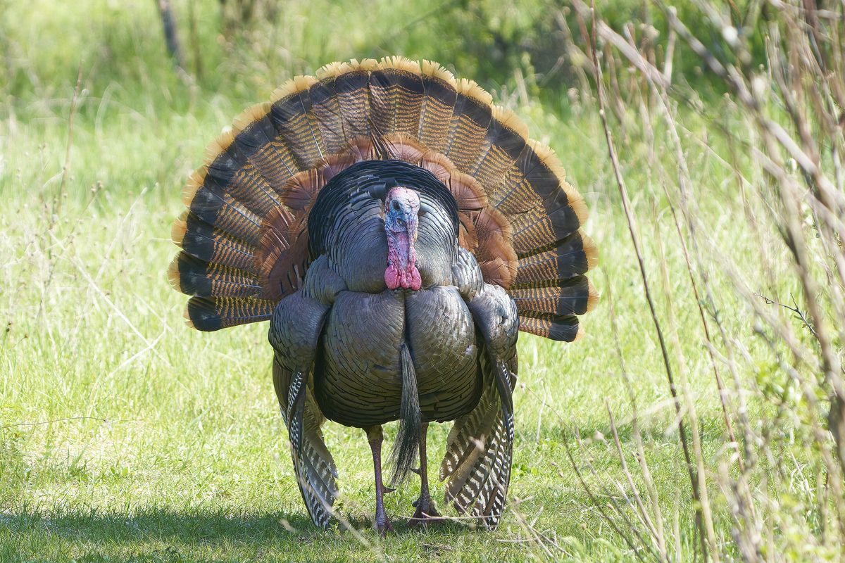
Wildlife found around Big Thicket National Preserve

The gear behind what you just read
Ranked lists for the exact categories that decide a season.
- Top 10 Winter JacketsDown parkas, synthetic belay pieces, and heavy wool coats for real cold.See the ranking
- Top 10 Merino Wool Base LayersNext-to-skin wool that works in real cold, real heat, and days between washes.See the ranking
- Top 10 Three-Season Sleeping BagsDown and synthetic bags that cover the honest 20°F–40°F working range.See the ranking
- Top 10 Winter Camping LocationsCold-country trips built around snow, ice, and quiet skies.See the ranking
- Best Cold-Weather HatsWool watch caps, ushankas, and windproof beanies for real winter.See the ranking