



Beyond Alone · Best: Nov-Mar
Congaree National Park
Paddle quiet blackwater creeks meandering through incredibly dense old-growth bottomland hardwood forests boasting some of the tallest trees in eastern America.
South Carolina, USA
Where on earth
Satellite imagery flying in from a world view to Congaree National Park, South Carolina, USA. Use the + / − buttons, or click the map to zoom with your scroll wheel; drag to pan and pinch to zoom on touch.
- Region
- South Carolina, USA
- Canoeing
- Kayaking
- Mountaineering
- Winter Camping
- Skiing
- Hiking
- Backpacking
- Wildlife Viewing
- Area/Length
- 26,276 acres
- Elevation
- 100 ft to 130 ft
- Best window
- November to March
- Key draws
- Canoeing, champion tree groves
- Access
- Harry Hampton Visitor Center
Topic summary
Paddle quiet blackwater creeks meandering through incredibly dense old-growth bottomland hardwood forests boasting some of the tallest trees in eastern America. Congaree preserves the largest intact expanse of old-growth bottomland hardwood forest remaining in the southeastern United States. The floodplains are dominated by staggering champion trees, including loblolly pines and
Key takeaways
- Area/Length: 26,276 acres
- Elevation: 100 ft to 130 ft
- Best window: November to March
- Key draws: Canoeing, champion tree groves
- Access: Harry Hampton Visitor Center
Intended uses
- Wilderness trip planning and destination research
- Access: Harry Hampton Visitor Center
Verification notes
Compiled from published show records, regional agencies, and topographical / satellite imagery. Region: South Carolina, USA. Coordinates: 33.795, -80.782.
The country
Congaree preserves the largest intact expanse of old-growth bottomland hardwood forest remaining in the southeastern United States. The floodplains are dominated by staggering champion trees, including loblolly pines and bald cypress soaring over a hundred feet tall.
Why enthusiasts come
Paddlers and hikers trace the slow-moving blackwater creeks to witness the raw magnitude of untouched eastern wetland forests. The eerie quiet and immense scale of the canopy attract those who prefer subtle, ecological marvels over vast mountain vistas.
Top experiences
Canoeing the intricate, winding route of Cedar Creek immerses paddlers deep into the heart of the ancient floodplain. Hiking the Weston Lake Loop provides a damp, twisting walk among the towering cypress knees and massive hardwood trunks.
Planner-relevant notes
Free backcountry permits must be obtained via email prior to entering the wilderness for overnight stays. The entire park regularly floods, completely obscuring trails and transforming the landscape; always check water levels before arriving. Mosquito populations in the summer are legendary and capable of ruining a trip, making winter the prime window.
Field notes
- Navigation requires following reflective tape high on trees; paths vanish under water routinely.
- Deadfalls frequently block the canoe trails, demanding frustrating portages through mud.
- Feral hogs roam the backcountry aggressively; maintain respectful distance.
- Mud here exerts a suction effect that can literally pull boots straight off.
Frequently asked about Congaree National Park
- Where is Congaree National Park?
- Congaree National Park is in South Carolina, USA. Paddle quiet blackwater creeks meandering through incredibly dense old-growth bottomland hardwood forests boasting some of the tallest trees in eastern America.
- How do you get to Congaree National Park?
- Access: Harry Hampton Visitor Center. Expect a multi-leg trip — flights to the nearest hub, then float plane, boat, or 4WD depending on conditions.
Build a ten for Congaree National Park
Assemble your own 10-item Alone loadout tuned to this biome — cold, wet, and food strategy already scoped.
Open the builderShelter that suits this terrain
Browse shelter builds and site-selection guides matched to conditions like the ones here.
Wildlife
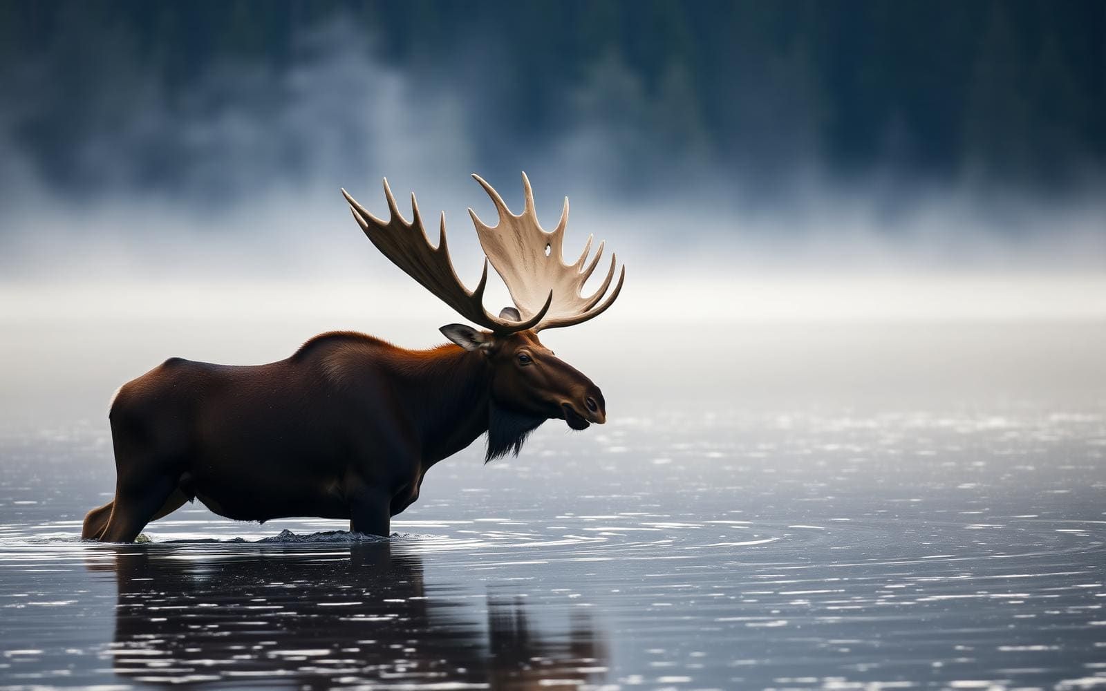
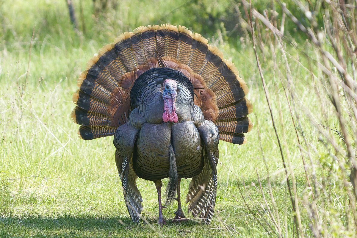
Wildlife found around Congaree National Park




The gear behind what you just read
Ranked lists for the exact categories that decide a season.
- Top 10 Winter JacketsDown parkas, synthetic belay pieces, and heavy wool coats for real cold.See the ranking
- Top 10 Merino Wool Base LayersNext-to-skin wool that works in real cold, real heat, and days between washes.See the ranking
- Top 10 Three-Season Sleeping BagsDown and synthetic bags that cover the honest 20°F–40°F working range.See the ranking
- Top 10 Winter Camping LocationsCold-country trips built around snow, ice, and quiet skies.See the ranking
- Best Cold-Weather HatsWool watch caps, ushankas, and windproof beanies for real winter.See the ranking