



Beyond Alone · Best: January - February
Southwest National Park
Notoriously extreme weather and continuous precipitous scrambling define Australia's most formidable alpine traverse.
Tasmania, Australia
Where on earth
Satellite imagery flying in from a world view to Southwest National Park, Tasmania, Australia. Use the + / − buttons, or click the map to zoom with your scroll wheel; drag to pan and pinch to zoom on touch.
- Region
- Tasmania, Australia
- Climbing
- Mountaineering
- Birdwatching
- Hiking
- Canoeing
- Fishing
- Area/Length
- 70km loop
- Elevation
- 300m to 1,154m
- Best window
- February for slightly lower rainfall
- Key draws
- Glacial lakes, extreme scrambling, sheer cliffs
- Access
- Drive from Hobart to Scotts Peak Dam
Topic summary
Notoriously extreme weather and continuous precipitous scrambling define Australia's most formidable alpine traverse. The Western Arthurs are a jagged quartzite mountain range sculpted by ancient glaciation in deep southwest Tasmania. Reaching them requires crossing massive buttongrass plains (the infamous 'Arthur Plains') that are litt
Key takeaways
- Area/Length: 70km loop
- Elevation: 300m to 1,154m
- Best window: February for slightly lower rainfall
- Key draws: Glacial lakes, extreme scrambling, sheer cliffs
- Access: Drive from Hobart to Scotts Peak Dam
Intended uses
- Wilderness trip planning and destination research
- Access: Drive from Hobart to Scotts Peak Dam
Verification notes
Compiled from published show records, regional agencies, and topographical / satellite imagery. Region: Tasmania, Australia. Coordinates: -43.155, 146.223.
The country
The Western Arthurs are a jagged quartzite mountain range sculpted by ancient glaciation in deep southwest Tasmania. Reaching them requires crossing massive buttongrass plains (the infamous 'Arthur Plains') that are little more than horizontal swamps. Once in the range, the terrain abruptly shifts to wildly exposed ridges and hanging glacial tarns.
Why enthusiasts come
This traverse is a rite of passage for elite Australian bushwalkers. It offers virtually no standard hiking; progressing involves hauling packs up near-vertical gullies and lowering off cliffs. The isolation is near-absolute, dropping hikers into an environment battered by unceasing Roaring Forties storm systems off the Southern Ocean.
Top experiences
The descent into Lake Oberon is a stunning reveal of a pitch-black lake rimmed by enormous walls of white quartzite. Negotiating the Beggary Bumps is a terrifying mixture of vertical mud-climbing and hauling oneself upward using only tree roots. Standing atop Mount Sirius provides a bird's-eye view of the chain of 30 glacial lakes.
Planner-relevant notes
The Western Arthurs Traverse takes 5 to 7 days, but you must carry 2 extra days of food due to high probability of being pinned in your tent by storms. A National Park Pass is required, and walkers must sign the logbook at Scotts Peak. Pack hauling on a rope is mandatory through several steep rock chimneys; bring a 15m length of cord.
Field notes
- The 'mud' on the access plains can easily swallow a hiker to the waist; use trekking poles to probe depth.
- Tents must have a slim profile and substantial storm viability; campsites are tiny, exposed wooden platforms or rocky ledges.
- Do not hike this route in high winds or snow; the quartzite rock turns slick, and the ridges are narrow.
- Water is plentiful at the lakes, but it is deeply stained brown by tannins; it is safe to drink but visually alarming.
Frequently asked about Southwest National Park
- Where is Southwest National Park?
- Southwest National Park is in Tasmania, Australia. Notoriously extreme weather and continuous precipitous scrambling define Australia's most formidable alpine traverse.
- How do you get to Southwest National Park?
- Access: Drive from Hobart to Scotts Peak Dam. Expect a multi-leg trip — flights to the nearest hub, then float plane, boat, or 4WD depending on conditions.
Build a ten for Southwest National Park
Assemble your own 10-item Alone loadout tuned to this biome — cold, wet, and food strategy already scoped.
Open the builderShelter that suits this terrain
Browse shelter builds and site-selection guides matched to conditions like the ones here.
Wildlife
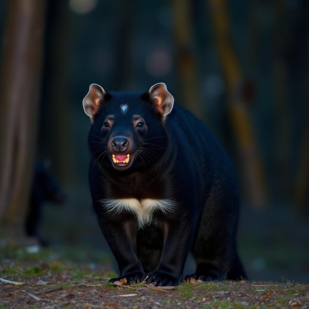
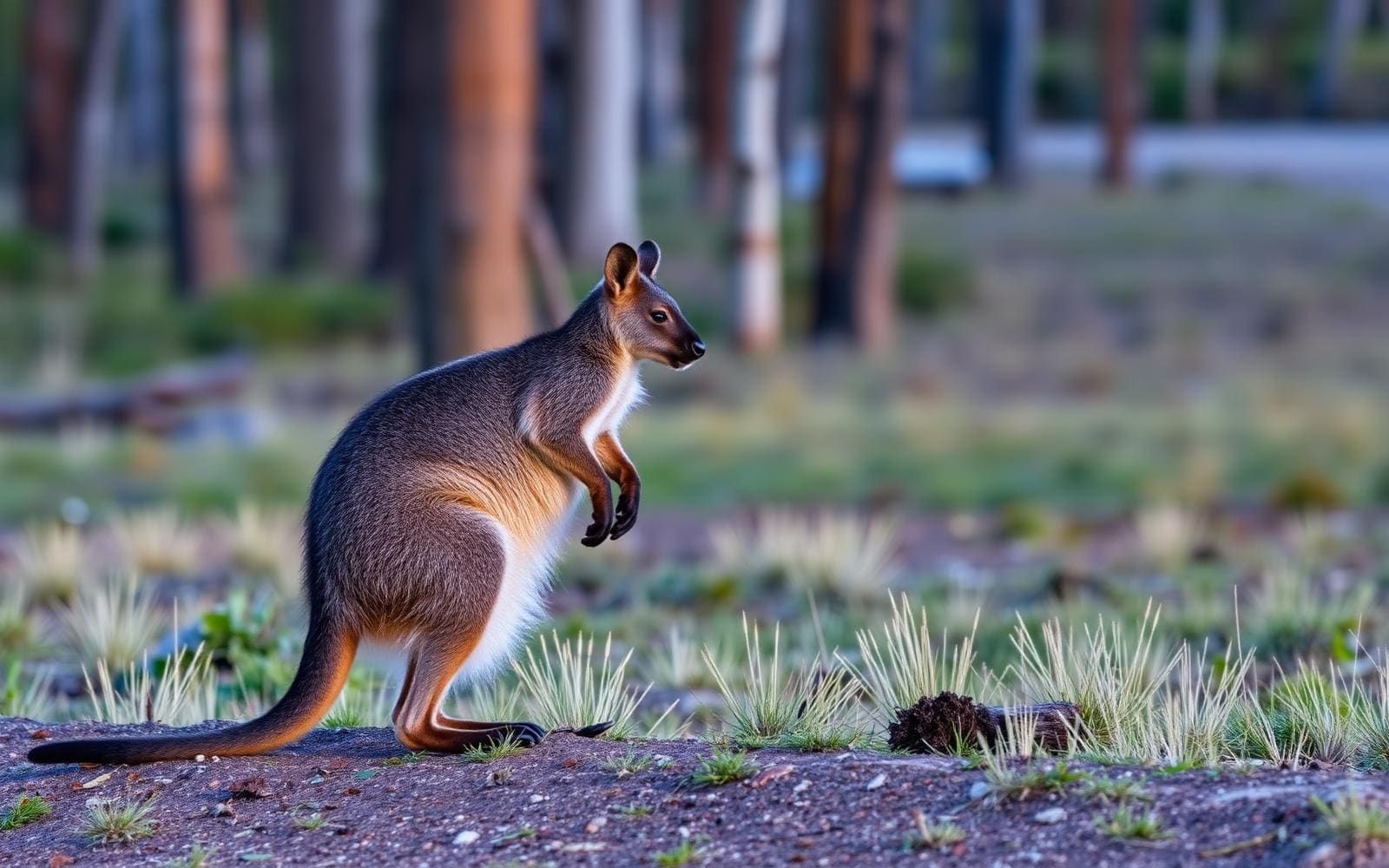
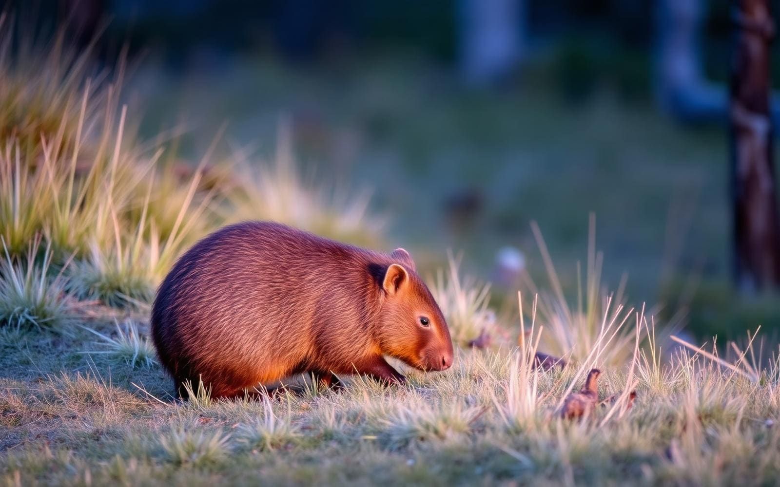
Wildlife found around Southwest National Park

The gear behind what you just read
Ranked lists for the exact categories that decide a season.
- Top 10 Winter JacketsDown parkas, synthetic belay pieces, and heavy wool coats for real cold.See the ranking
- Top 10 Merino Wool Base LayersNext-to-skin wool that works in real cold, real heat, and days between washes.See the ranking
- Top 10 Three-Season Sleeping BagsDown and synthetic bags that cover the honest 20°F–40°F working range.See the ranking
- Top 10 Winter Camping LocationsCold-country trips built around snow, ice, and quiet skies.See the ranking
- Best Cold-Weather HatsWool watch caps, ushankas, and windproof beanies for real winter.See the ranking