



Reader rating
Rate it and you move it. Community ratings re-rank this product inside its Top 10 list.
Expert-picked, reader-ranked. Our editors choose the products and the launch order; member star ratings move picks up or down over time.
Tucked away on the remote eastern slope of the Winds beneath the Brown Cliffs, Alpine Lake sits at an intimidating 10,800 feet. This is raw, unforgiving backcountry that demands serious off-trail navigation. Unlike the heavily traveled western trailheads, the approach out of Dubois via Trail Lake Trailhead tests ankles, stamina, and route-finding over roughly 18 rugged miles through the Fitzpatrick Wilderness. The lake holds wild, self-sustaining golden trout that thrive on chironomids and micro-invertebrates. Because of the extreme elevation and north-facing cirque walls, ice out may not occur until the final days of July. Once open, the fish feed ravenously during warm daylight hours before dropping into the abyss at dusk. Solo travel here is ill-advised. The eastern slope holds a thriving grizzly population, and cell service or quick rescue is non-existent. Anglers who take the time to cross the high passes are greeted with near-total solitude and wild fish that rarely see an artificial fly. **Highlights** * Elevation: 10,810 feet * Target species: Wild golden trout * Remote eastern slope access from Dubois via Trail Lake * Striking contrast of sheer granite cliffs and deep blue water * Extremely low angling pressure compared to western trailheads **Watch-outs** * Active grizzly bear corridor requiring strict food storage * Complex off-trail route-finding over unstable talus * Late ice-out and very brief open-water season
Pros
- True wilderness isolation with virtually zero angling pressure
- Self-sustaining population of pure-strain alpine golden trout
- Spectacular backdrop dominated by the dramatic Brown Cliffs
- Unspoiled backcountry water clarity and pristine alpine scenery
Cons
- Demanding multi-day hike with grueling off-trail navigation over talus
- Active grizzly bear population requires hyper-vigilant food storage
- Extremely short open-water season, often iced in until late July
Best uses
- Multi-day alpine backpacking trips
- High-country golden trout fly fishing
- Remote backcountry navigation challenges
- Solitary wilderness photography expeditions
Specifications
- Elevation
- 10,810 feet
- Location
- Fitzpatrick Wilderness, Wyoming
- Trailhead
- Trail Lake Trailhead (Dubois)
- Target Species
- Wild golden trout
- Approach Distance
- Roughly 18 miles one-way
- Prime Window
- Late July through August
Best for
Multi-day alpine backpacking trips, High-country golden trout fly fishing, Remote backcountry navigation challenges, Solitary wilderness photography expeditions
Sitting in the shadow of the imposing Brown Cliffs inside the Fitzpatrick Wilderness, Alpine Lake represents the sterner, less forgiving side of the Wind River Range. While the western trailheads out of Pinedale pull in trainloads of backpackers every summer, this eastern-slope bastion remains largely quiet, protected by an arduous approach that separates casual anglers from serious backcountry travelers. At over 10,800 feet, the water stays locked under deep winter ice well into summer, preserving an austere alpine basin surrounded by scree fields and sheer granite buttresses. The draw here is the fishery: a self-sustaining population of pure-strain golden trout that evolved to thrive in frigid, ultra-oligotrophic water. These fish rely on brief summer blooms of midges, scuds, and terrestrial insects swept off the high crags. Fishing here requires tactical precision and patience, as crystal-clear surface conditions make the trout skittish despite their isolation. Reaching this high cirque demands complete self-sufficiency. The trek out of the Trail Lake Trailhead near Dubois entails nearly twenty miles of grueling trail and rugged off-trail scrambling across unstable boulder fields. Weather swings from scorching mid-day sun to blinding sleet squalls in minutes. For those prepared to pay the physical toll and carry bear spray everywhere they step, it offers one of the most wild, unadulterated angling experiences in North America.
Geography and Talus Fields
Nestled inside a jagged amphitheater below the Brown Cliffs, the terrain surrounding this basin is defined by steep glacial polish, active scree slopes, and massive boulder fields. The lake rests at 10,810 feet in the Shoshone National Forest, where soil development is minimal and granite dominates the visual field. Navigating the shoreline requires steady footwork and careful balance, as loose talus drops directly into frigid drop-offs. There are no groomed paths around the perimeter. Water clarity is exceptional, often exceeding thirty feet of visibility, which exposes submerged ledges and drop-offs where cruising cruisers seek protection from surface predators. Wind funnels violently through the high-altitude col, generating sudden whitecaps that complicate both cast control and safe movement along the slippery rock shelves.
Short Summer Weather Windows
The high eastern cirques operate on a compressed calendar where winter conditions routinely linger into July. Ice-out rarely completes before late July, and snowbanks frequently block high approaches well past the summer solstice. Mid-August offers the most reliable window of ice-free water and settled mountain weather, though afternoon thunderstorms remain a persistent hazard. These electrical storms build rapidly over the Continental Divide, bringing sudden temperature drops, hail, and high-velocity wind gusts that turn exposed boulder fields into slick, hazardous traps. By early September, night temperatures routinely dip well below freezing, and the first winter squalls begin shutting down backcountry access. Packing mountaineering-grade rain gear and four-season insulating layers is non-negotiable, even when the valley forecasts in Dubois look clear.
Grizzlies and High Basin Fauna
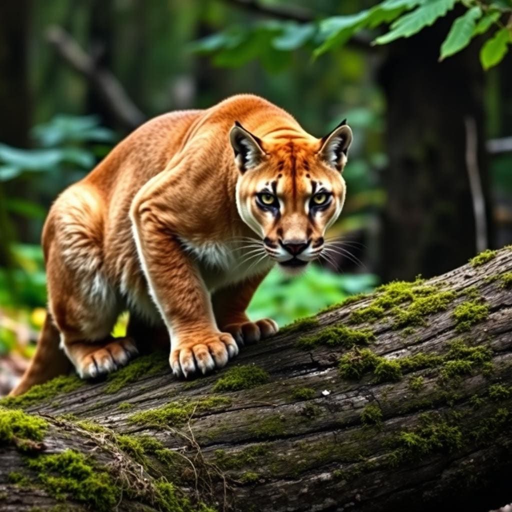
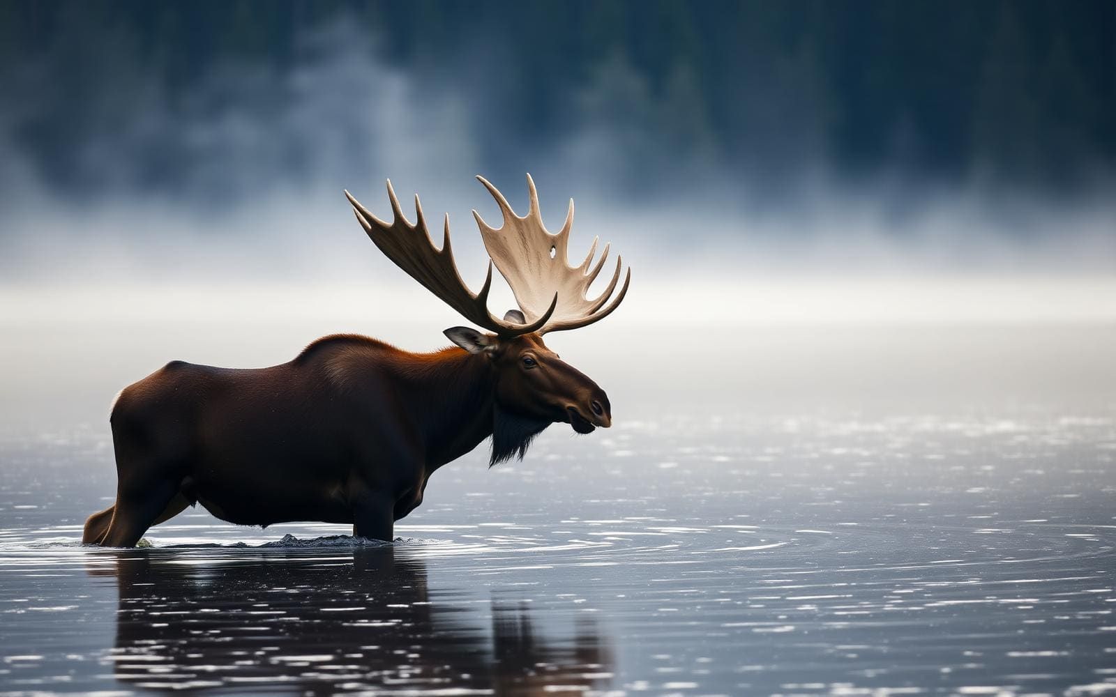
Unlike the more commonly trafficked western approaches to the Wind River Range, the Fitzpatrick Wilderness sits squarely in occupied grizzly bear territory. This eastern slope drainage supports a healthy, expanding population of Ursus arctos horribilis, alongside black bears, moose, bighorn sheep, and marmots. Traveling through heavy subalpine timber along the approach requires continuous vocalization, while camp management demands strict, certified bear-resistant canisters stored well away from sleeping quarters. Anglers must handle fish and clean gear away from sleeping areas to avoid attracting predators into camp. Mountain lions and wolves also roam the lower valleys, but grizzlies represent the true primary safety consideration. Carrying readily accessible bear spray, maintaining vigilance around blind creek bends, and hiking in groups are critical risk mitigations here.
Approach Routes and Off-Trail Nav
Access begins at the Trail Lake Trailhead outside Dubois, tracing the Glacier Trail before splitting off into demanding cross-country routes toward the high lakes. The route covers roughly eighteen miles and involves thousands of feet of elevation gain, with the final push transitioning from recognizable footpath into unmarked navigation over granite slabs and boulder fields. Solid topographical map skills and an active satellite messenger are mandatory, as deadfall, high creek crossings, and boulder hopping obscure natural lines. Crossing high passes requires picking paths through unstable scree where a turned ankle can trigger a complex backcountry evacuation. Staging the trek over two or three days allows for acclimatization and provides a buffer against grueling elevation gains under heavy pack weights.
Regulations and Camp Protocols
The Fitzpatrick Wilderness is administered by the Shoshone National Forest. As of current management protocols, wilderness permits are not required for general backpacking and angling, though registering at the trailhead kiosk is strongly urged for search-and-rescue tracking. Anglers must hold a valid Wyoming fishing license with an active conservation stamp. Strict Leave No Trace rules apply throughout the basin, notably the mandatory use of approved bear-resistant containers or proper food hangs where tall timber exists. Campfires are strictly discouraged or prohibited in alpine zones near timberline due to scarce wood resources. Camping must be established on durable rock surfaces at least two hundred feet from the lakeshore to protect fragile alpine tundra that takes decades to recover from foot traffic.
Solitude Versus Objective Risk
The primary appeal of this destination is its profound isolation, but that privacy comes with significant objective hazards. Unlike popular trails in the Bridger Wilderness, encounters with other hiking parties are exceptionally rare once you leave the main Glacier Trail. If an emergency occurs—such as an injury on boulder fields, hypothermia, or a bear encounter—rescue teams will face a multi-day operation or delayed helicopter extraction dictated by high-altitude turbulence. Cellular service is nonexistent across the entire basin. Furthermore, the golden trout here can be maddeningly selective; flat-calm water and bright sunlight send them into deep water where fly lines can rarely reach them. Anglers must weigh the reward of solitary high-country fishing against real physical danger and brutal physical demands.
How we chose
We built this ranking from land-manager and agency sources, permit records and published trip reports. Each of the 10 places was compared against the same criteria below. This is desk research unless a pick is marked field tested.
- Quality of the terrain
- Landscape, route variety, and whether the place rewards multiple days rather than one overlook.
- Season and weather windows
- How long the reliable window is, and how badly the shoulder seasons punish a bad forecast.
- Access and permits
- Trailhead logistics, permit odds, quotas, and how much lead time a trip realistically takes.
- Solitude vs. crowding
- How far you have to walk before the place feels like wilderness instead of a queue.
- Wildlife and ecology
- What you can reasonably expect to see, and what you have to plan around.
- Risk and skill required
- Navigation, water crossings, exposure, and rescue distance — stated plainly.
Alpine Lake — frequently asked questions
- Is Alpine Lake worth the trip?
- We rank it #3 in Top 10 Wind River Trout Lakes. Tucked away on the remote eastern slope of the Winds beneath the Brown Cliffs, Alpine Lake sits at an intimidating 10,800 feet. This is raw, unforgiving backcountry that demands serious off-trail navigation.
- Who is Alpine Lake best for?
- Best for multi-day alpine backpacking trips, high-country golden trout fly fishing, remote backcountry navigation challenges and solitary wilderness photography expeditions. Standouts: true wilderness isolation with virtually zero angling pressure and self-sustaining population of pure-strain alpine golden trout.
- What are the drawbacks of Alpine Lake?
- Demanding multi-day hike with grueling off-trail navigation over talus, Active grizzly bear population requires hyper-vigilant food storage and Extremely short open-water season, often iced in until late July.
- What are the key details for Alpine Lake?
- Elevation: 10,810 feet · Location: Fitzpatrick Wilderness, Wyoming · Trailhead: Trail Lake Trailhead (Dubois) · Target Species: Wild golden trout · Approach Distance: Roughly 18 miles one-way
- Geography and Talus Fields — what should I know about the Alpine Lake?
- Nestled inside a jagged amphitheater below the Brown Cliffs, the terrain surrounding this basin is defined by steep glacial polish, active scree slopes, and massive boulder fields. The lake rests at 10,810 feet in the Shoshone National Forest, where soil development is minimal and granite dominates the visual field.
- Short Summer Weather Windows — what should I know about the Alpine Lake?
- The high eastern cirques operate on a compressed calendar where winter conditions routinely linger into July. Ice-out rarely completes before late July, and snowbanks frequently block high approaches well past the summer solstice.
Where on earth
Satellite imagery flying in from a world view to Alpine Lake, West Virginia, United States. Use the + / − buttons, or click the map to zoom with your scroll wheel; drag to pan and pinch to zoom on touch.
Alpine Lake, WV 26764, USA · 39.475, -79.497
Wildlife found around Alpine Lake



Compare side by side
Put the Alpine Lake against any other pick on this list — specs, price, pros, cons and reader ratings.