



Reader rating
Rate it and you move it. Community ratings re-rank this product inside its Top 10 list.
Expert-picked, reader-ranked. Our editors choose the products and the launch order; member star ratings move picks up or down over time.
Deep Lake rests at 10,500 feet directly beneath the monolithic west face of Haystack Mountain. It is one of the premier high-elevation cutthroat waters reached from the Big Sandy Trailhead on the southern tip of the range. The lake's deep, cold trench produces surprisingly thick Yellowstone cutthroats and occasional goldens that feed along the talus edges. The hike in covers roughly 12 miles from Big Sandy, passing through meadows before grinding up through Temple and Miller Lake basins. Boulder town is the nearest stop for fuel, while Lander or Pinedale serve as full-service hubs. The basin sits just below the Continental Divide, meaning weather shifts occur with frightening speed. The fishing strategy here centers on working the deep breaklines where vertical granite slabs drop into turquoise water. Wind-blown terrestrial patterns like foam beetles and hoppers work well along the windward shores from late July through August. **Highlights** * Elevation: 10,510 feet * Target species: Yellowstone cutthroat trout, golden trout * Trailhead: Big Sandy (12 miles one-way) * World-class alpine rock-climbing scenery beneath Haystack Mountain * Consistent action on dry-dropper rigs along drop-offs **Watch-outs** * Rough, washboard gravel road driving into Big Sandy Trailhead * Severe rockfall danger near the base of vertical cirque walls * High foot traffic along lower approach trails shared with climbers
Pros
- Produces exceptionally sturdy, high-elevation Yellowstone cutthroat trout
- Dramatic amphitheater setting directly underneath Haystack Mountain's cliffs
- Deep breaklines allow productive shoreline fly fishing without watercraft
- Established approach trail is straightforward to follow for a remote water
Cons
- Heavy user traffic around trailhead and approach trails due to climbers
- Complete lack of tree cover leaves camps exposed to violent wind and lightning
- High-altitude boulder hopping required to reach prime water along the bank
Best uses
- Backcountry Cutthroat Angling
- Combined Climbing and Fishing
- Multi-Day Wilderness Trekking
- Late Summer Alpine Backpacking
Specifications
- Elevation
- 10,510 feet (3,203 m)
- Managing Agency
- Bridger-Teton National Forest
- Primary Trailhead
- Big Sandy Trailhead
- One-Way Distance
- Approximately 12 miles
- Target Species
- Yellowstone cutthroat trout, golden trout
- Best Window
- Late July through early September
Best for
Backcountry Cutthroat Angling, Combined Climbing and Fishing, Multi-Day Wilderness Trekking, Late Summer Alpine Backpacking
Resting directly beneath the sheer west face of Haystack Mountain, Deep Lake is one of the southern Wind River Range's most formidable alpine waters. At roughly 10,500 feet, the lake fills a glacially scoured granite pocket where cold, crystalline water drops steeply off boulder-strewn shorelines. It is well known in backcountry angling circles for producing robust, hard-fighting Yellowstone cutthroat trout alongside the occasional golden, both of which thrive in the lake's oxygen-rich depths. Reaching this cirque requires a determined twelve-mile trek from the Big Sandy Trailhead. The route climbs through pine forests and opens into high subalpine meadows before steepening into raw granite terrain. While the lower trails can feel busy with climbers flocking toward Haystack's classic multi-pitch lines, the upper basin spreads people out across miles of talus and bare rock. Anglers face a demanding environment here. Wind sweeps across the Continental Divide with little warning, and fish often hug sharp underwater drop-offs rather than shallow flats. Success demands patience, accurate casting into crosswinds, and an eye on building thunderheads that can turn the cirque into a lightning trap within minutes.
Terrain and Basin Geography
Deep Lake sits cradled in a classic glacially carved amphitheater dominated by Haystack Mountain's vertical granite mass. The shoreline consists primarily of fractured talus blocks, slick bedrock ledges, and narrow fringes of alpine tundra. Unlike the shallow, silt-bottomed tarns common elsewhere in the range, this water feature plunges almost immediately into deep, cold trenches. Navigating the perimeter requires deliberate foot placement over loose scree and massive granite boulders that shift underfoot. Above the water, the surrounding cirque walls rise thousands of feet, creating an imposing microclimate that funnels wind down the lake's main axis. There are few natural windbreaks around the northern and eastern banks, leaving camps and casting positions fully exposed to the elements. Finding a level tent pitch on durable rock or gravel requires scouting the benches above the lakeshore, well away from fragile subalpine sedges.
Seasonal Timing and Weather
The window for open water and reasonable backcountry conditions is narrow, typically stretching from late July through Labor Day. Ice break-up rarely finishes before early July, and lingering snowdrifts routinely block upper trails and complicate creek crossings through mid-summer. August represents prime time, offering the warmest water temperatures and maximum insect activity. However, afternoon thunderstorms are a daily threat in the southern Winds. Warm air pushing up from the Green River basin collides with the Continental Divide, firing off volatile squalls complete with heavy hail, gale-force winds, and cloud-to-ground lightning. Anglers standing on exposed shorelines with graphite rods are acutely vulnerable. Morning outings provide the safest, calmest conditions before the noon thermal build-up sets in. By mid-September, overnight temperatures regularly plunge into the teens, skim ice coats the margins, and early blizzards can strand unprepared travelers.
Fishery Dynamics and Strategy
The deep, clear water supports an exceptional population of Yellowstone cutthroat trout, with specimens reaching respectable alpine sizes due to stable benthic forage and deep-water winter survivability. Golden trout also turn up, though they remain far more selective. Because the lake drops off sharply near the banks, sight-fishing requires scanning deep shelves rather than shallow flats. During calm mornings, midges and callibaetis may draw fish toward the surface, making small emerger patterns effective along shelf edges. Once the afternoon breeze picks up, terrestrial patterns like foam beetles, ants, and hoppers fished close to wave-pounded rock faces often trigger aggressive takes. Sinking lines paired with dark woolly buggers or leech patterns fished along the foot of the talus slopes produce results when fish hold deep. Stealth and light tippets are essential in the glass-clear water.
Trail Access and Route Logistics
Access begins at the Big Sandy Opening, situated roughly fifty miles southeast of Pinedale. The final thirty miles consist of washboard dirt and gravel roads that can rattle low-clearance vehicles; while passable for passenger cars in dry weather, high-clearance rigs handle the washouts better. From the trailhead, the route traces the Big Sandy River before branching northeast toward Clear Lake and Deep Lake via the Temple and Miller Lake basins. The trail maintains a moderate grade across the lower miles through lodgepole forest and open parks before steepening noticeably through the upper boulder fields. Route-finding is generally straightforward along established pack trails, though cairns through the upper talus can become faint in poor visibility. Stock users frequently utilize the lower approach, so expect occasional mud churn and horse parties before reaching the rocky benches.
Wilderness Regulations and Camping
The area lies within the Bridger Wilderness, where strict wilderness ethics and federal regulations apply. Free, self-issued wilderness permits are available at the Big Sandy Trailhead kiosk and are required for overnight travel. Group sizes are capped at fifteen people. Due to fragile high-elevation vegetation and scarce firewood, campfires are prohibited within two hundred feet of lakes and streams, and entirely forbidden above 10,000 feet elevation across the Bridger-Teton National Forest. Campers must pack a reliable canister stove. Food storage orders are strictly enforced; bears, both black and an increasing grizzly presence in the southern Winds, necessitate approved bear canisters or hanging food at least ten feet high and four feet out on stout timber, though suitable trees are virtually nonexistent at the lake itself. A certified hard-sided canister is practically non-negotiable.
Hazards and Realistic Drawbacks
Visiting Deep Lake requires navigating several distinct drawbacks. The Big Sandy Trailhead is notorious as the busiest portal into the southern Wind River Range, resulting in congested parking, crowded trailheads, and heavy traffic along the initial miles. Haystack Mountain is a world-class rock climbing destination, meaning Deep Lake sees considerably more human activity than more isolated lakes further north. Severe rockfall off the sheer rock faces is a genuine objective hazard, particularly along the eastern cliffs during freeze-thaw cycles or rainstorms. Mosquitoes can be ferociously dense from snowmelt through late July, requiring head nets and wind-resistant outerwear. Finally, the lake's sheer altitude of over 10,500 feet exposes visitors to acute mountain sickness, rapid dehydration, and debilitating hypothermia if cold rains hit an exhausted backpacker miles from treeline.
How we chose
We built this ranking from land-manager and agency sources, permit records and published trip reports. Each of the 10 places was compared against the same criteria below. This is desk research unless a pick is marked field tested.
- Quality of the terrain
- Landscape, route variety, and whether the place rewards multiple days rather than one overlook.
- Season and weather windows
- How long the reliable window is, and how badly the shoulder seasons punish a bad forecast.
- Access and permits
- Trailhead logistics, permit odds, quotas, and how much lead time a trip realistically takes.
- Solitude vs. crowding
- How far you have to walk before the place feels like wilderness instead of a queue.
- Wildlife and ecology
- What you can reasonably expect to see, and what you have to plan around.
- Risk and skill required
- Navigation, water crossings, exposure, and rescue distance — stated plainly.
Deep Lake — frequently asked questions
- Is Deep Lake worth the trip?
- We rank it #4 in Top 10 Wind River Trout Lakes. Deep Lake rests at 10,500 feet directly beneath the monolithic west face of Haystack Mountain. It is one of the premier high-elevation cutthroat waters reached from the Big Sandy Trailhead on the southern tip of the range.
- Who is Deep Lake best for?
- Best for backcountry cutthroat angling, combined climbing and fishing, multi-day wilderness trekking and late summer alpine backpacking. Standouts: produces exceptionally sturdy, high-elevation yellowstone cutthroat trout and dramatic amphitheater setting directly underneath haystack mountain's cliffs.
- What are the drawbacks of Deep Lake?
- Heavy user traffic around trailhead and approach trails due to climbers, Complete lack of tree cover leaves camps exposed to violent wind and lightning and High-altitude boulder hopping required to reach prime water along the bank.
- What are the key details for Deep Lake?
- Elevation: 10,510 feet (3,203 m) · Managing Agency: Bridger-Teton National Forest · Primary Trailhead: Big Sandy Trailhead · One-Way Distance: Approximately 12 miles · Target Species: Yellowstone cutthroat trout, golden trout
- Terrain and Basin Geography — what should I know about the Deep Lake?
- Deep Lake sits cradled in a classic glacially carved amphitheater dominated by Haystack Mountain's vertical granite mass. The shoreline consists primarily of fractured talus blocks, slick bedrock ledges, and narrow fringes of alpine tundra.
- Seasonal Timing and Weather — what should I know about the Deep Lake?
- The window for open water and reasonable backcountry conditions is narrow, typically stretching from late July through Labor Day. Ice break-up rarely finishes before early July, and lingering snowdrifts routinely block upper trails and complicate creek crossings through mid-summer.
Where on earth
Satellite imagery flying in from a world view to Deep Lake, Florida, United States. Use the + / − buttons, or click the map to zoom with your scroll wheel; drag to pan and pinch to zoom on touch.
Deep Lake, Big Cypress, FL 34141, USA · 26.043, -81.344
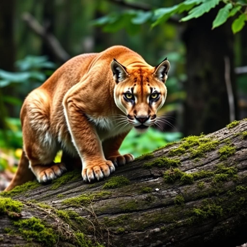
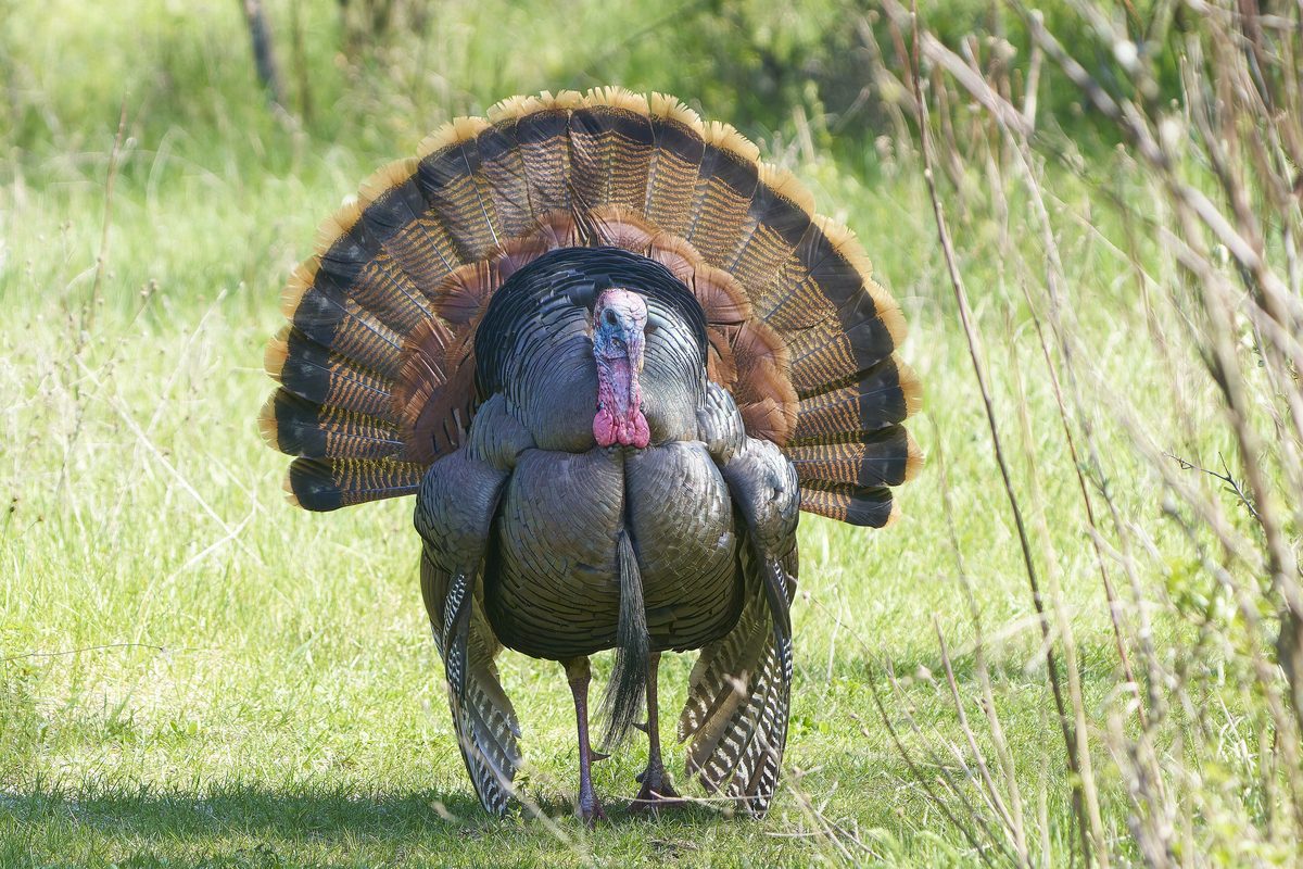
Wildlife found around Deep Lake

Compare side by side
Put the Deep Lake against any other pick on this list — specs, price, pros, cons and reader ratings.