



Reader rating
Rate it and you move it. Community ratings re-rank this product inside its Top 10 list.
Expert-picked, reader-ranked. Our editors choose the products and the launch order; member star ratings move picks up or down over time.
Resting at 10,360 feet on the northern side of Washakie Pass, Washakie Lake is a sprawling, multi-armed alpine water that feels vast and barren. The lake is fed by high-elevation permanent snowfields, keeping temperatures low enough that cutthroat and golden hybrids remain active in the shallows throughout midsummer. Access is best achieved via the Big Sandy Trailhead or Scab Creek, but either route requires at least 15 to 17 miles of rugged wilderness travel. The lake acts as a transition point between the southern cirques and the central high plateau, seeing far fewer visitors than Lonesome Lake. Lander is the logical logistical base if crossing over from the east via Washakie Pass. The lake's convoluted shoreline provides numerous sheltered coves where cruisers escape main-basin wind. Casting small beadhead nymphs under an attractor dry fly along submerged granite points produces steady action throughout August. **Highlights** * Elevation: 10,360 feet * Target species: Cutthroat trout, golden trout hybrids * Mileage: 16 miles one-way from Big Sandy via Hailey Pass trail * Intricate shoreline with isolated bays and rocky peninsulas * Excellent jumping-off point for exploring higher, unnamed tarns **Watch-outs** * High-elevation pass crossings (Washakie or Hailey) can harbor steep snow fields * Expansive water makes finding fish difficult without binoculars * Gale-force winds funnel directly across the lake from the divide
Pros
- Substantially lighter foot traffic than lakes along the Cirque of the Towers loop
- Healthy population of willing cutthroat and golden hybrids along drop-offs
- Extensive shoreline structure with numerous sheltered bays to escape gusts
- High-elevation basecamp with direct access to higher, seldom-fished alpine tarns
Cons
- Minimum 15-mile trek with substantial elevation gain limits trip feasibility
- Strong, persistent divide winds can quickly shut down fly presentation
- Very little tree cover along the shoreline to shelter tents from severe storms
Best uses
- Extended high-country backpacking
- Solitary sight-fishing for trout
- High-divide traverse staging
- Multi-day wilderness exploration
Specifications
- Elevation
- 10,360 feet
- Location
- Bridger Wilderness, Wind River Range, Wyoming
- Trailhead Access
- Big Sandy or Scab Creek
- Minimum Distance
- 15 to 17 miles one-way
- Target Species
- Cutthroat trout, golden trout hybrids
- Management Agency
- USFS - Bridger-Teton National Forest
Best for
Extended high-country backpacking, Solitary sight-fishing for trout, High-divide traverse staging, Multi-day wilderness exploration
Tucked beneath the wind-raked crest of the Continental Divide at 10,360 feet, Washakie Lake represents the rugged, austere midpoint of the southern Wind River Range. Unlike the crowded granite amphitheaters further south around the Cirque of the Towers, this sprawling alpine basin trades dramatic vertical spires for open tundra, sprawling talus fields, and an intricate, jagged shoreline. Its irregular shape creates dozens of protected granite bays and long gravel spits, breaking up a body of water that can otherwise turn violent when afternoon winds tear down from the surrounding divide. Because it demands a committing multi-day trek of at least 15 miles regardless of approach, the lake serves as a quiet refuge for backcountry anglers who prefer solitude over convenience. Frigid inflow from lingering snowfields keeps the water clarity near total and surface temperatures cold well into late summer. This sustains a healthy, self-sustaining population of cutthroat and colorful golden-cutthroat hybrids that cruise the drop-offs in search of food. Reaching this water requires honest backcountry stamina and route-finding awareness, particularly if crossing over high passes early in the season when hardpack snow still blankets the trail. For those willing to pack the extra miles, it stands as one of the premier staging points in the range to sight-cast into gin-clear water while escaping high-season crowds.
Terrain and Basin Geography
Washakie Lake occupies a wide, high-altitude bench carved out by glacial recession, sitting directly north of Washakie Pass and the Continental Divide. Its sprawling, multi-lobed footprint differs dramatically from the tight, cliff-hemmed cirques found elsewhere in the range. Endless granite peninsulas, submerged boulder fields, and shallow gravel benches dominate the shoreline, offering extensive structure where trout congregate to hunt. North and east of the lake, barren granite slabs transition into scree slopes leading toward Macon Lake and Mount Washakie, while the southern shoreline buffers against rolling tundra benches. The vast surface area makes it especially vulnerable to prevailing westerlies. Wind whips through the mountain corridor, generating substantial chop across open water while leaving deeper coves glassy. Navigating the perimeter requires persistent boulder-hopping and route-finding around flooded marshy inlets, making simple perimeter walks surprisingly time-consuming.
Seasonal Windows and Climate
Due to its elevation above 10,000 feet, the operational window at the lake is relatively brief. Ice-out typically occurs between late June and early July, depending on the severity of the previous winter's snowpack. Prime conditions run from late July through the end of August, when daytime temperatures hover in the low 60s and night frosts remain manageable. High-elevation thunderstorms are a daily reality throughout midsummer; electrical activity frequently traps backpackers on exposed shorelines without timber shelter, demanding early morning starts and disciplined afternoon awareness. By September, insect hatches wane, mornings drop well below freezing, and the first winter squalls begin sweeping the high divide. Anglers targeting the lake's hybridized trout should focus on mid-August, when shoreline cruisers patrol shallows for terrestrial drop-ins and surface feeding reaches its peak during calm morning glass.
Trailheads and Wilderness Access
Accessing the lake demands an honest commitment of backcountry mileage. The most common approach leaves the Big Sandy Trailhead, tracing the Fremont Trail past Dad's and Marms lakes before cutting north along the Washakie Trail for roughly 16 miles. An alternative southern vector climbs out of Scab Creek, meandering past numerous lower lakes across 17 rugged miles. Either route involves significant sustained elevation gain and loose talus sections, particularly near pass transitions. If approaching from the east out of Lander via the Dickinson Park Trailhead, travelers must negotiate Washakie Pass directly, dropping into the basin via steep switchbacks. Early-season travelers routinely encounter steep snow bridges covering the trail above 10,000 feet, which often demand traction devices or careful kick-stepping. The remote position makes day-tripping impractical; this destination belongs squarely within an extended multi-day itinerary.
Angling Tactics and Strategy
The fishery here revolves around cold-tolerant cutthroat and hybridized golden-cutthroat trout that rely on opportunistic feeding along structural shelves. Because the main basin is large and exposed, blind casting across open water is largely ineffective. Successful anglers patrol the convoluted perimeter, visually spotting cruisers holding where shallow shelf gravel drops abruptly into dark, sapphire depths. Terrestrial patterns like foam beetles, ants, and small hopper imitations work well when afternoon gusts blow insects onto the surface. Beneath the surface, trailing small pheasant tail nymphs, copper johns, or micro-leeches behind an attractor dry fly consistently tricks wary fish in ultra-clear water. Long, fine fluorocarbon leaders are mandatory; the gin-clear glacial runoff provides virtually no concealment for clumsy presentations. Targeting sheltered coves on the leeward side of granite outcrops keeps surface flies manageable even when main-lake winds howling over the divide.
Wilderness Hazards and Regulations
Washakie Lake sits deep inside the federally protected Bridger Wilderness, meaning mechanized equipment and wheeled transport are strictly barred. While general backpacking does not currently mandate a competitive permit draw, visitors must register at the trailhead kiosk and adhere to Leave No Trace ethics. The entire Wind River Range is active grizzly and black bear territory; hanging food in an approved canister or counter-balance setup is non-negotiable, and carry bear spray in an immediately accessible holster. Camp must be established at least 200 feet from lake shores and water sources to protect fragile alpine turf. Weather remains the most volatile hazard here, as the lack of mature timber near the water leaves camps directly exposed to gale-force winds funneling off the Continental Divide. Staking tents securely with rocks over guyline anchors is essential to surviving overnight blowouts.
How we chose
We built this ranking from land-manager and agency sources, permit records and published trip reports. Each of the 10 places was compared against the same criteria below. This is desk research unless a pick is marked field tested.
- Quality of the terrain
- Landscape, route variety, and whether the place rewards multiple days rather than one overlook.
- Season and weather windows
- How long the reliable window is, and how badly the shoulder seasons punish a bad forecast.
- Access and permits
- Trailhead logistics, permit odds, quotas, and how much lead time a trip realistically takes.
- Solitude vs. crowding
- How far you have to walk before the place feels like wilderness instead of a queue.
- Wildlife and ecology
- What you can reasonably expect to see, and what you have to plan around.
- Risk and skill required
- Navigation, water crossings, exposure, and rescue distance — stated plainly.
Washakie Lake — frequently asked questions
- Is Washakie Lake worth the trip?
- We rank it #6 in Top 10 Wind River Trout Lakes. Resting at 10,360 feet on the northern side of Washakie Pass, Washakie Lake is a sprawling, multi-armed alpine water that feels vast and barren. The lake is fed by high-elevation permanent snowfields, keeping temperatures low enough that cutthroat and golden hybrids remain active in the shallows throughout midsummer.
- Who is Washakie Lake best for?
- Best for extended high-country backpacking, solitary sight-fishing for trout, high-divide traverse staging and multi-day wilderness exploration. Standouts: substantially lighter foot traffic than lakes along the cirque of the towers loop and healthy population of willing cutthroat and golden hybrids along drop-offs.
- What are the drawbacks of Washakie Lake?
- Minimum 15-mile trek with substantial elevation gain limits trip feasibility, Strong, persistent divide winds can quickly shut down fly presentation and Very little tree cover along the shoreline to shelter tents from severe storms.
- What are the key details for Washakie Lake?
- Elevation: 10,360 feet · Location: Bridger Wilderness, Wind River Range, Wyoming · Trailhead Access: Big Sandy or Scab Creek · Minimum Distance: 15 to 17 miles one-way · Target Species: Cutthroat trout, golden trout hybrids
- Terrain and Basin Geography — what should I know about the Washakie Lake?
- Washakie Lake occupies a wide, high-altitude bench carved out by glacial recession, sitting directly north of Washakie Pass and the Continental Divide. Its sprawling, multi-lobed footprint differs dramatically from the tight, cliff-hemmed cirques found elsewhere in the range.
- Seasonal Windows and Climate — what should I know about the Washakie Lake?
- Due to its elevation above 10,000 feet, the operational window at the lake is relatively brief. Ice-out typically occurs between late June and early July, depending on the severity of the previous winter's snowpack.
Where on earth
Satellite imagery flying in from a world view to Washakie Lake, Wyoming, United States. Use the + / − buttons, or click the map to zoom with your scroll wheel; drag to pan and pinch to zoom on touch.
Washakie Lake, Wyoming 82520, USA · 42.823, -109.233
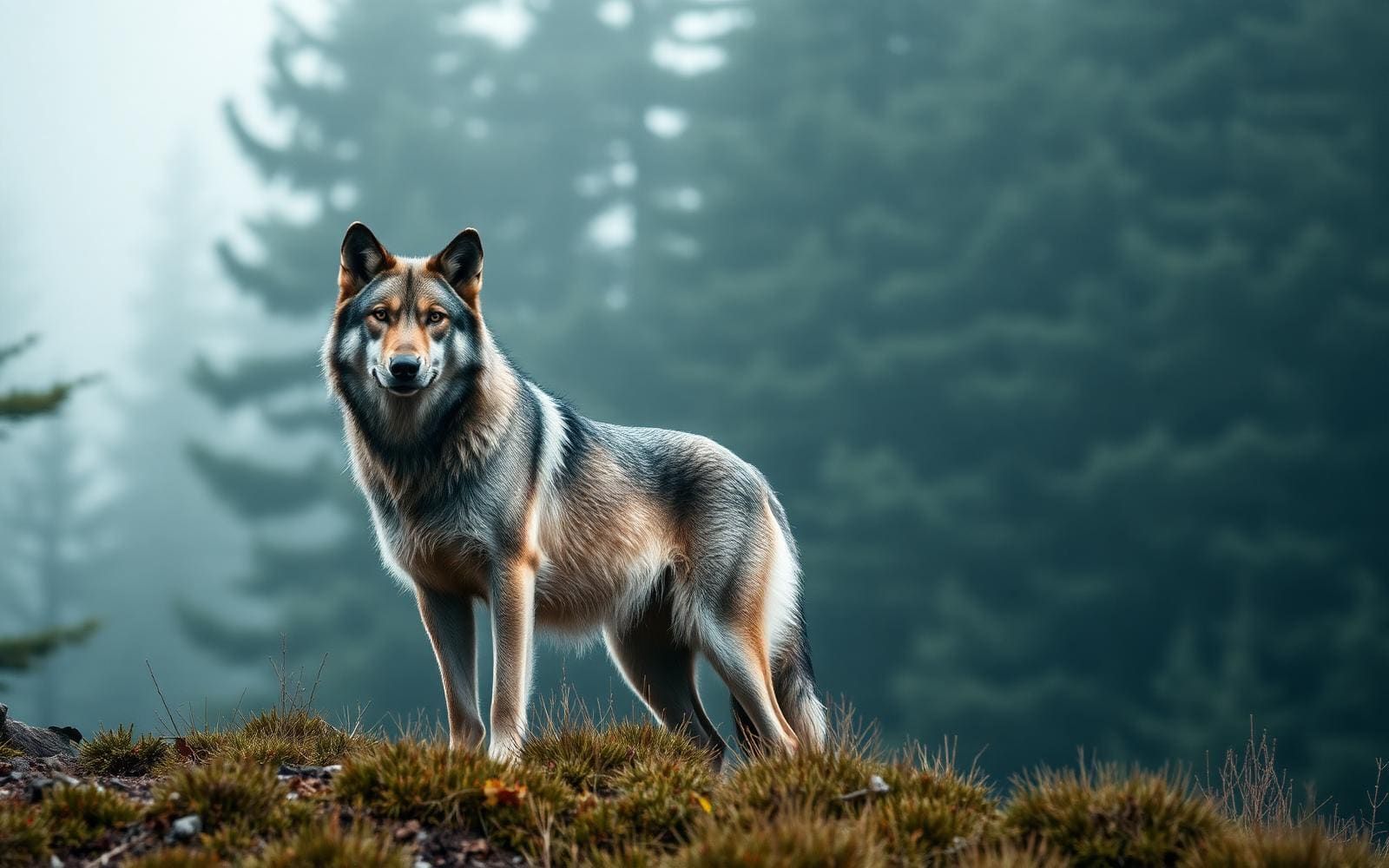
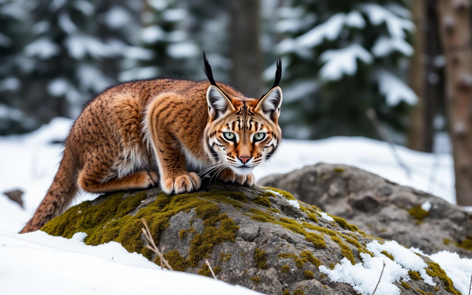
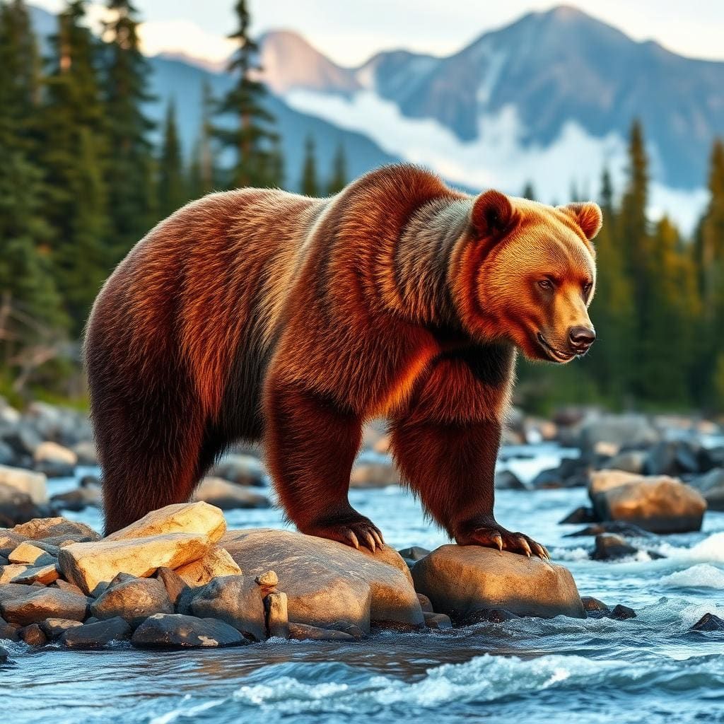
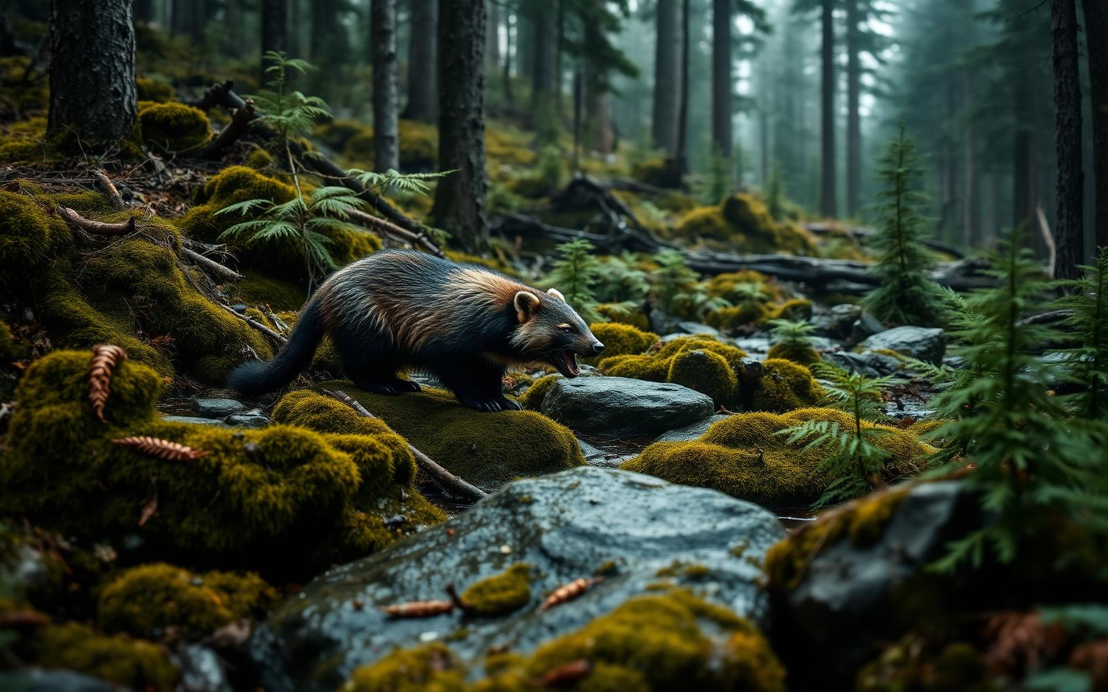
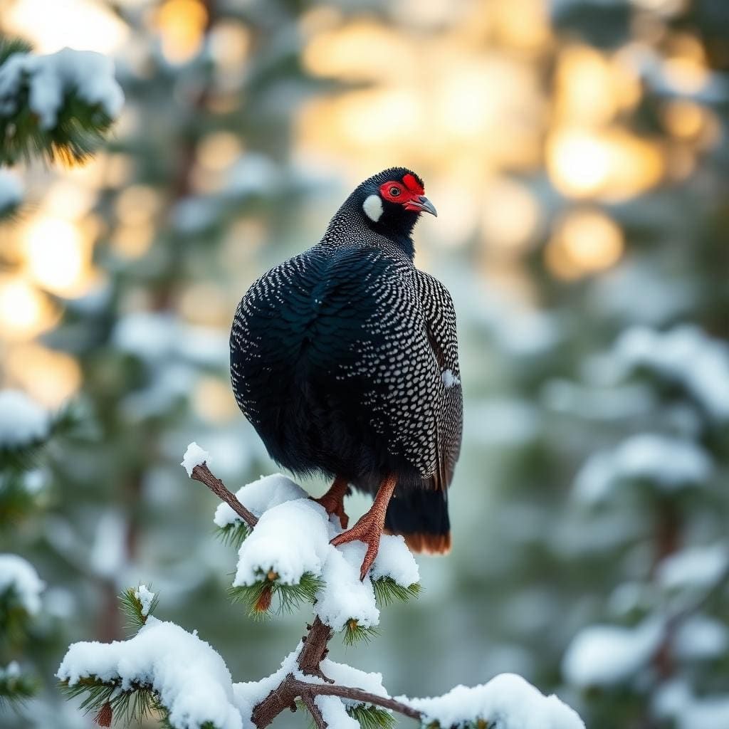
Wildlife found around Washakie Lake



Compare side by side
Put the Washakie Lake against any other pick on this list — specs, price, pros, cons and reader ratings.