



Reader rating
Rate it and you move it. Community ratings re-rank this product inside its Top 10 list.
Expert-picked, reader-ranked. Our editors choose the products and the launch order; member star ratings move picks up or down over time.
Lonesome Lake is the geographic centerpiece of the famed Cirque of the Towers, sitting at 10,166 feet. Ringed by vertical spires like Pingora and the Watchtower, the lake supports a robust population of wild cutthroat trout. These fish thrive on the insect life produced around the inlet marsh and the shallow delta formed by snowmelt. Reaching Lonesome Lake requires an 8.5 to 10-mile hike from the Big Sandy Trailhead over Jackass Pass. It is a grueling haul with a heavy pack, particularly the steep scramble over the pass's boulder field. Because this is one of the most visited locations in the Rocky Mountains, human impact rules are stringent: camping is completely prohibited within a quarter-mile of the lakeshore to allow the alpine zone to recover. Fishing here is best treated as a day effort from camps outside the closure zone. Midges and small mayfly spinners yield consistent hookups in the early morning before climbers start shouting from the ridges and the afternoon winds kick up. **Highlights** * Elevation: 10,166 feet * Target species: Cutthroat trout * Shortest alpine hike on this list (approx. 9 miles from Big Sandy) * World-renowned mountain architecture of the Cirque of the Towers * Highly active surface-feeding cutthroats in the inlet channels **Watch-outs** * Strict camping closure within 1/4 mile of the entire lake * Major campsite crowding outside the closure perimeter * Intensive wilderness ranger patrols and zero-tolerance fire bans
Pros
- High-density population of eager, wild alpine cutthroat trout
- Unrivaled amphitheater setting flanked by Pingora Peak and vertical spires
- Reliable insect hatches and surface activity along shallow inlet deltas
- Relatively short trail approach compared to interior Wind River Range waters
Cons
- Camping strictly banned within a quarter-mile of the entire lakeshore
- Heavy hiker and climber traffic diminishes genuine wilderness solitude
- Jackass Pass boulder field is grueling and hazardous with loaded packs
Best uses
- Day-use alpine fly fishing
- Cirque basecamp side trips
- Southern Winds backpacking routes
- Morning dry-fly sight casting
Specifications
- Elevation
- 10,166 feet
- Target Species
- Cutthroat trout
- Primary Trailhead
- Big Sandy Opening
- Hike Distance
- 9 miles one way
- Access Difficulty
- Strenuous alpine pass crossing
- Governing Agency
- USFS Popo Agie Wilderness
Best for
Day-use alpine fly fishing, Cirque basecamp side trips, Southern Winds backpacking routes, Morning dry-fly sight casting
Tucked into the granite basin of the Cirque of the Towers at 10,166 feet, Lonesome Lake sits directly beneath sheer monoliths like Pingora Peak and the Watchtower. For decades, it has served as the visual centerpiece of the southern Wind River Range. While technical rock climbers flock here for vertical granite, anglers pack light rods over the pass for the resident cutthroat trout, which cruise the gravel bars and feed aggressively on insects drifting through snowmelt feeder streams. Reaching this amphitheater requires an honest effort. The standard approach from the Big Sandy Trailhead climbs roughly nine miles and crosses Jackass Pass, a steep grunt requiring steady footing through loose talus and slick granite slabs. The descent drops straight into the fragile subalpine meadows surrounding the water. Because the Cirque attracts global traffic, the local ecosystem carries the scars of heavy human use. Wilderness managers enforce a strict camping ban within a quarter-mile of the shoreline, and open campfires are prohibited across the entire drainage. To cast to these cutthroats, plan on basing yourself down-valley or on the far side of the pass, treating the shoreline strictly as a day-use fishery.
Granite Basin and Water Dynamics
Lonesome Lake occupies an over-deepened glacial cirque ringed by near-vertical granite walls rising thousands of feet above the water. Cold, clear snowmelt feeds the basin through braided inlet channels on the south and west shores, forming shallow gravel deltas that drop off abruptly into dark blue depths. These inlet shoals are the biological engines of the lake, harboring prolific midge and mayfly hatches once the ice clears in mid-summer. The shoreline alternates between sod-busting alpine marsh, dense willow thickets, and fields of sharp granitic scree that can swallow an errant step. Accessing the eastern and northern fringes requires boulder-hopping along the waterline or following faint angler paths cut into the turf. Because depth drops fast off the western shelf, sight-fishing demands a low profile against the rock to avoid silhouetting yourself against the massive grey amphitheater behind you.
Seasonal Windows and Mountain Weather
Ice-out generally occurs in late June or early July, but lingering snowdrifts often choke the northern side of Jackass Pass well into mid-July, turning the approach into a steep glissade or a post-holing slog. The prime window for reliable open-water fishing runs from late July through the first week of September. During these peak weeks, mornings regularly start clear, crisp, and dead calm, providing mirror-glass conditions for spotting surface-feeding cutthroats along the shore. By noon, however, localized thermals and violent convective storm cells routinely boil up over the Continental Divide. Lightning strikes on the high spires are a real hazard, and gale-force wind gusts can churn the water into whitecaps within minutes, putting a hard stop to delicate dry-fly presentations. Frost can coat your rod guides any morning of the summer, and late-August cold snaps frequently bring dusting snow.
Wild Trout Tactics and Feeding
The lake holds a self-sustaining population of cutthroat trout that rarely exceed fourteen inches but make up for size with enthusiasm. In the cold, high-elevation water, the growing season is short, forcing fish to capitalize on every available food source. In the early morning hours, cruisers patrol the outer edge of the inlet delta, sipping emerging midges and micro-mayflies just inches from the drop-off. Small Adams patterns, Parachute midges, and size 18 Griffith's Gnats fished on a long, fine 5X or 6X leader yield the most dependable surface takes. Once the midday chop sets in or the sun penetrates the surface, swap to a sinking-tip line or weighted scud and nymph rigs drifted through the deeper shelves. The fish can turn selective under bright sun, so dull natural tones like olive, dark hare's ear, and black out-fish flashy attractors.
The Jackass Pass Approach
Starting at the Big Sandy Trailhead, the route follows the Big Sandy River past Big Sandy Lake before climbing toward North Creek and Jackass Pass. The final mile to the pass crest demands deliberate route-finding through a chaotic boulder field above Arrowhead Lake. Hikers have three primary lines through the pass: the high bypass route, the shoreline boulder scramble, or the standard saddle climb. With a full multi-day backpack, this ascent tests leg drive and ankle stability over sharp, shift-prone granite. Once you crest the 10,780-foot saddle, the trail drops steeply through switchbacks and loose scree to Lonesome Lake's southern shore. The round-trip covers eighteen miles with over 2,000 feet of elevation gain and loss, making it a grueling proposition as an out-and-back day trip unless you are in prime alpine shape.
Regulations, Crowds, and Wilderness Reality
Solitude is hard to come by at Lonesome Lake. As one of the premier alpine climbing and backpacking hubs in North America, the Cirque of the Towers sees massive human volume from July through Labor Day. Years of heavy use prompted the Forest Service to ban all camping within a quarter-mile radius of the shoreline, marked by clear boundary signs. Campfires are strictly outlawed throughout the drainage to preserve the stunted, slow-growing whitebark pine and subalpine fir. Backcountry rangers patrol the basin regularly to enforce these rules and check wilderness compliance. To fish here ethically, you must pitch your shelter outside the closure boundary—typically near Big Sandy Lake or out toward Lizard Head Meadows—and pack out every scrap of waste, including pack-it-out human waste bags when required by local conditions.
How we chose
We built this ranking from land-manager and agency sources, permit records and published trip reports. Each of the 10 places was compared against the same criteria below. This is desk research unless a pick is marked field tested.
- Quality of the terrain
- Landscape, route variety, and whether the place rewards multiple days rather than one overlook.
- Season and weather windows
- How long the reliable window is, and how badly the shoulder seasons punish a bad forecast.
- Access and permits
- Trailhead logistics, permit odds, quotas, and how much lead time a trip realistically takes.
- Solitude vs. crowding
- How far you have to walk before the place feels like wilderness instead of a queue.
- Wildlife and ecology
- What you can reasonably expect to see, and what you have to plan around.
- Risk and skill required
- Navigation, water crossings, exposure, and rescue distance — stated plainly.
Lonesome Lake — frequently asked questions
- Is Lonesome Lake worth the trip?
- We rank it #5 in Top 10 Wind River Trout Lakes. Lonesome Lake is the geographic centerpiece of the famed Cirque of the Towers, sitting at 10,166 feet. Ringed by vertical spires like Pingora and the Watchtower, the lake supports a robust population of wild cutthroat trout.
- Who is Lonesome Lake best for?
- Best for day-use alpine fly fishing, cirque basecamp side trips, southern winds backpacking routes and morning dry-fly sight casting. Standouts: high-density population of eager, wild alpine cutthroat trout and unrivaled amphitheater setting flanked by pingora peak and vertical spires.
- What are the drawbacks of Lonesome Lake?
- Camping strictly banned within a quarter-mile of the entire lakeshore, Heavy hiker and climber traffic diminishes genuine wilderness solitude and Jackass Pass boulder field is grueling and hazardous with loaded packs.
- What are the key details for Lonesome Lake?
- Elevation: 10,166 feet · Target Species: Cutthroat trout · Primary Trailhead: Big Sandy Opening · Hike Distance: 9 miles one way · Access Difficulty: Strenuous alpine pass crossing
- Granite Basin and Water Dynamics — what should I know about the Lonesome Lake?
- Lonesome Lake occupies an over-deepened glacial cirque ringed by near-vertical granite walls rising thousands of feet above the water. Cold, clear snowmelt feeds the basin through braided inlet channels on the south and west shores, forming shallow gravel deltas that drop off abruptly into dark blue depths.
- Seasonal Windows and Mountain Weather — what should I know about the Lonesome Lake?
- Ice-out generally occurs in late June or early July, but lingering snowdrifts often choke the northern side of Jackass Pass well into mid-July, turning the approach into a steep glissade or a post-holing slog. The prime window for reliable open-water fishing runs from late July through the first week of September.
Where on earth
Satellite imagery flying in from a world view to Lonesome Lake, New Hampshire, United States. Use the + / − buttons, or click the map to zoom with your scroll wheel; drag to pan and pinch to zoom on touch.
Lonesome Lake, Lincoln, NH 03580, USA · 44.140, -71.701
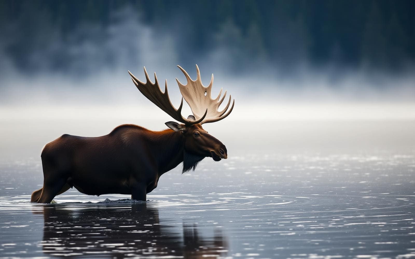
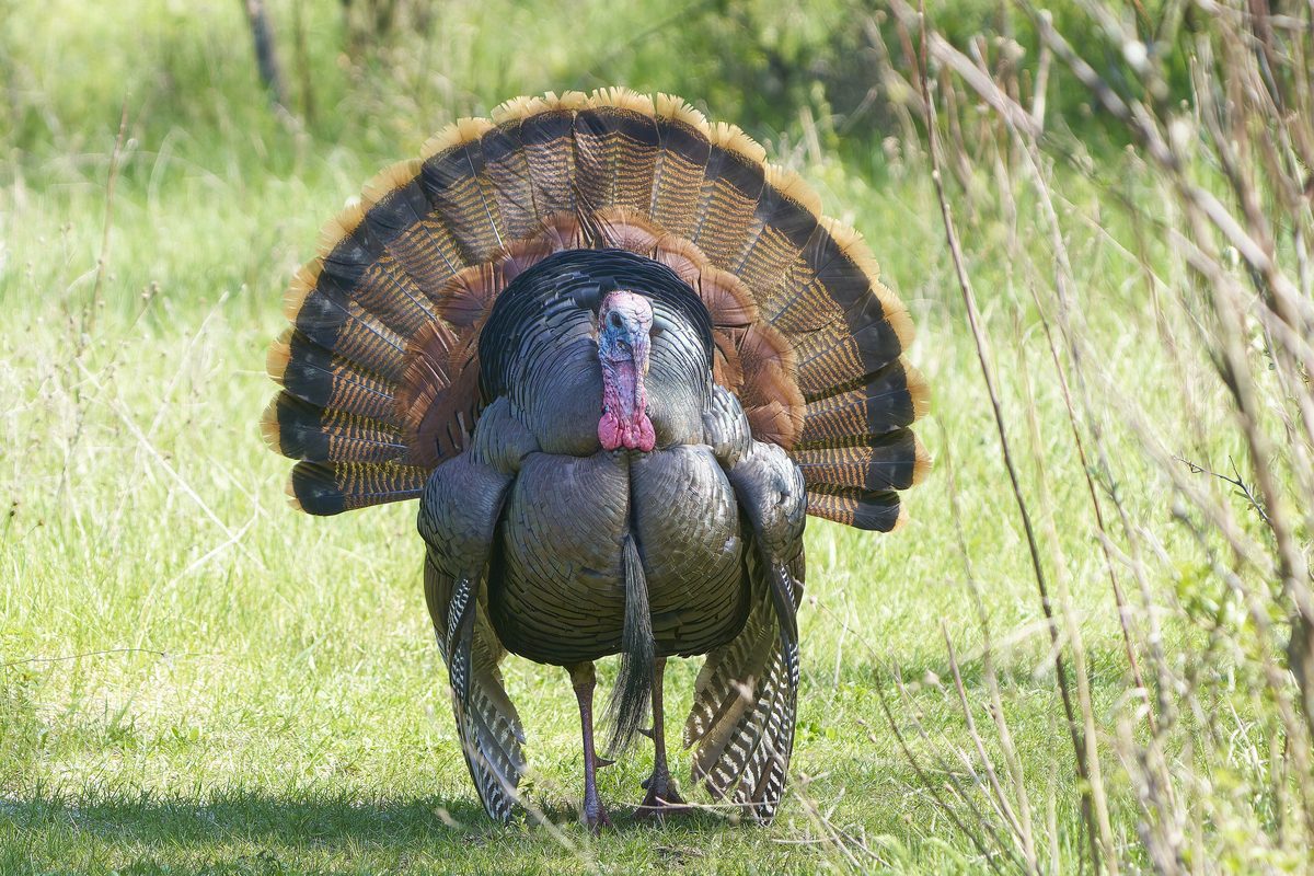
Wildlife found around Lonesome Lake




Compare side by side
Put the Lonesome Lake against any other pick on this list — specs, price, pros, cons and reader ratings.