



Reader rating
Rate it and you move it. Community ratings re-rank this product inside its Top 10 list.
Expert-picked, reader-ranked. Our editors choose the products and the launch order; member star ratings move picks up or down over time.
Located on the southwestern margin of the Gila Wilderness near the town of Cliff, Turkey Creek offers a rougher, less manicured alternative to the developed trails near the visitor center. The route combines the Turkey Creek Trail (Trail 155) with portions of the Skeleton Ridge Trail or high mesa cattle paths to construct an aggressive shoulder-season loop. Turkey Creek itself runs through an incised, boulder-choked volcanic gorge that demands route-finding and hand-over-foot rock scrambling. The real prize is Turkey Creek Hot Springs, an unmaintained, primitive collection of rock-walled pools built directly into the canyon floor. Water temperatures can push 105 degrees Fahrenheit at the main source, requiring bathers to adjust stone walls to let in cold creek water for balance. Unlike Jordan Hot Springs, reaching Turkey Creek requires true canyon scrambling along slick, water-polished bedrock. Spring runoff often renders the lower gorge impassable, making autumn the definitive choice here. Even in low water, the trail vanishes frequently into gravel banks and thorny willow thickets. A high return along Skeleton Ridge gives massive panoramas of the Mogollon Range, but carries zero water—carry sufficient supply when climbing out of the canyon. **Highlights** - Mileage: 18 to 22 miles - Elevation change: 2,500 to 3,000 feet - Truly primitive hot springs with adjustable thermal soaking pools - Intensely rugged canyon topography with minimal trail development - Sweeping ridgeline perspectives of the outer Mogollon mountains **Watch-outs** - 4WD high-clearance vehicle required to reach the river-crossing trailhead - Unmarked scrambles over wet boulders with significant slip hazards - Skeleton Ridge section is entirely dry; cache or carry enough water for the climb
Pros
- Truly primitive hot springs with zero commercial infrastructure
- High level of backcountry solitude compared to popular Gila forks
- Dynamic contrast between lush canyon bottom and arid ridge walking
- Exceptional fall weather window with manageable water levels
Cons
- Requires high-clearance 4WD and a river ford to reach the trailhead
- Challenging off-trail boulder scrambling over slick, wet bedrock
- Complete absence of water sources along the Skeleton Ridge return
Best uses
- Experienced desert canyon backpackers
- Fall shoulder-season wilderness treks
- Primitive hot spring seekers
- Self-reliant off-trail navigators
Specifications
- Distance
- 18 to 22 miles
- Elevation Gain
- 2,500 to 3,000 feet
- Route Type
- Rugged semi-loop
- Land Manager
- Gila National Forest
- Best Window
- October to mid-November
- Trailhead Access
- High-clearance 4WD with river ford
Best for
Experienced desert canyon backpackers, Fall shoulder-season wilderness treks, Primitive hot spring seekers, Self-reliant off-trail navigators
Tucked into the rugged southwestern periphery of the Gila Wilderness near Cliff, this route strips away the maintained convenience seen along the Middle Fork. It trades boardwalks and clear treads for a relentlessly raw mix of river wash, brush-choked creek banks, and slick volcanic boulder fields. Those who push deep into the canyon find one of the backcountry's most unvarnished geothermal rewards: hand-stacked rock tubs burbling directly out of the canyon wall into cool creek waters. The loop links the flooded gorge of Turkey Creek with the exposed, bone-dry spine of Skeleton Ridge. It is a route of stark contrasts. Down low, your boots never stay dry, and route-finding requires reading subtle gravel bars and animal tracks through dense catclaw and willow thickets. Up high, the landscape snaps to arid piñon-juniper savannas offering commanding vistas across the Mogollon Rim, where water is completely non-existent. Solitude here is earned through physical effort. Where the popular thermal pools closer to the visitor center draw consistent weekend foot traffic, Turkey Creek's notoriously rough approach, tricky river crossing at the trailhead, and demanding boulder scrambles keep visitor numbers sparse. It demands deliberate footwork, sound desert judgment, and genuine comfort navigating off-trail terrain.
Canyon Floor to Dry Ridge
The lower half of the loop traces the incised volcanic drainage of Turkey Creek, where towering rhyolite cliffs flank a floor littered with truck-sized boulders and dense riparian brush. Trail 155 frequently washes away during high water, turning travel into an exercise in creek bed scouting and constant wading. Slick, river-polished basalt demands deliberate foot placement, particularly where narrow canyon bottlenecks force hikers onto off-camber rock shelves. Once the route climbs out of the drainage onto Skeleton Ridge, the character shifts immediately. The moist riparian trench gives way to a scorched, stony plateau populated by juniper, scrub oak, and agave. Tread on the ridge can be faint, interrupted by intersecting cow paths and rocky clearings, but navigating the skyline is straightforward in clear weather. You trade ankle-deep water and canyon shade for blazing high-desert sun and expansive views of the Mogollon Range.
Optimal Seasons and Hydrology
Timing is critical along Turkey Creek due to the volatility of desert runoff. Autumn, specifically October through early November, offers the premier window. Fall weather brings crisp daytime temperatures, stable atmospheric conditions, and creek flows that have receded to manageable wading levels. Spring presents a severe obstacle; heavy snowmelt from the high Mogollon peaks turns Turkey Creek into a thundering torrent that renders the narrow canyon impassable and creates lethal trapping hazards in pinched bedrock slots. Summer brings brutal, sunbaked canyon temperatures regularly exceeding 90 degrees, paired with deadly afternoon flash-flood risks during the July-August monsoon season. Winter can provide solitude and workable river levels, but freezing nighttime temperatures make repeated submerged crossings miserable, and morning ice turns canyon boulders into frictionless hazards. Always verify USGS streamflow gauges on the nearby Gila River before leaving town.
Thermal Pools and Scrambling
Unlike the commodified or heavily impacted soaking tubs found elsewhere in the American Southwest, Turkey Creek Hot Springs remains thoroughly wild. Scalding thermal water seeps directly out of the canyon wall at temperatures approaching 105 degrees Fahrenheit, flowing across bedrock into shallow, hand-stacked river-rock pools. Adjusting the water temperature requires moving river cobbles to let in icy stream water from the main creek, a balance that shifts after every seasonal high-water event. Reaching these pools demands sustained scrambling through narrow defiles where deep pools press against vertical rock faces, requiring short class-3 moves or waist-deep wading while balancing a fully loaded pack. Camping directly adjacent to the springs is extremely limited by rocky, uneven ground and flash-flood susceptibility. Savvy backpackers establish basecamps on elevated gravel benches a half-mile downstream, hiking into the thermal slots with light gear for soaking.
Wildlife and Pack Protection
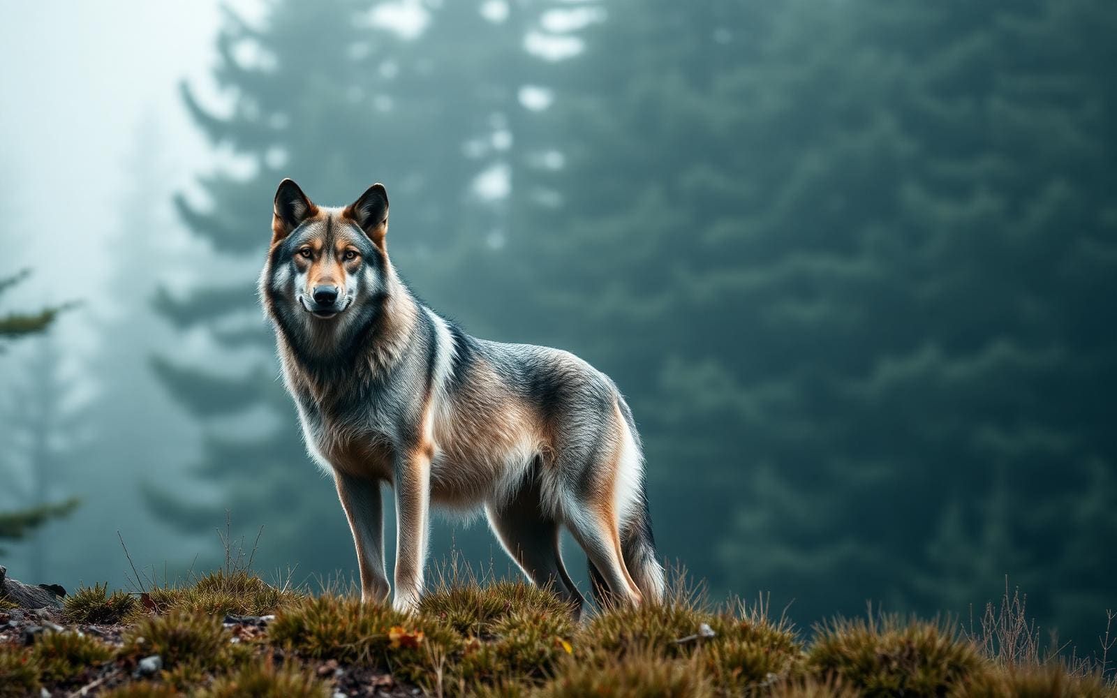
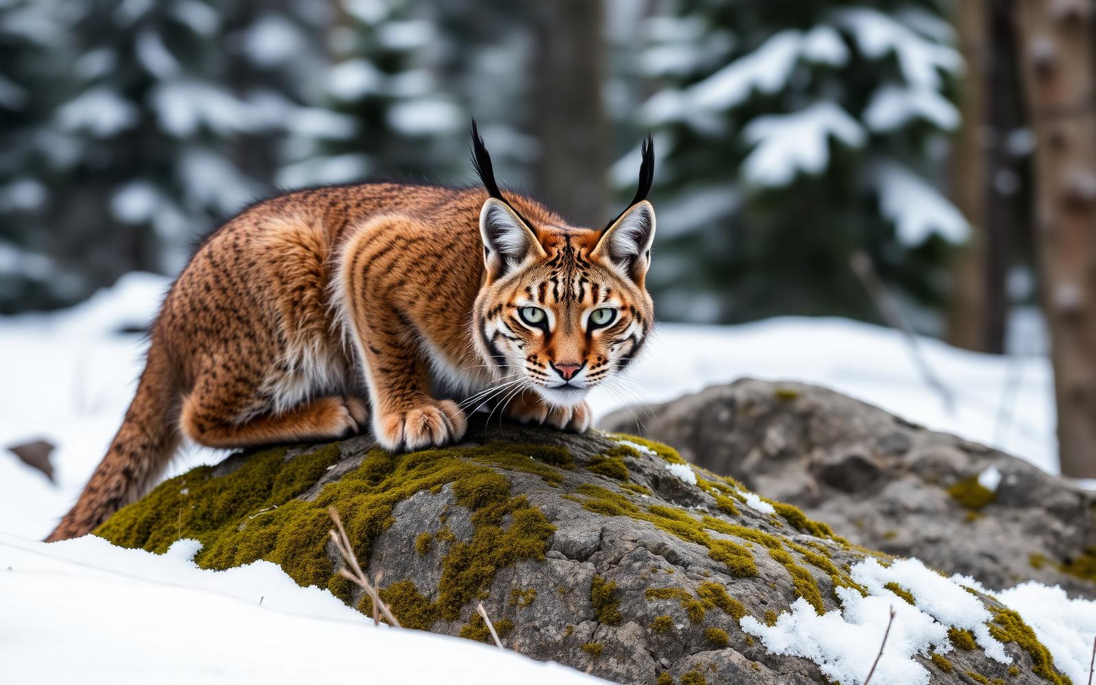
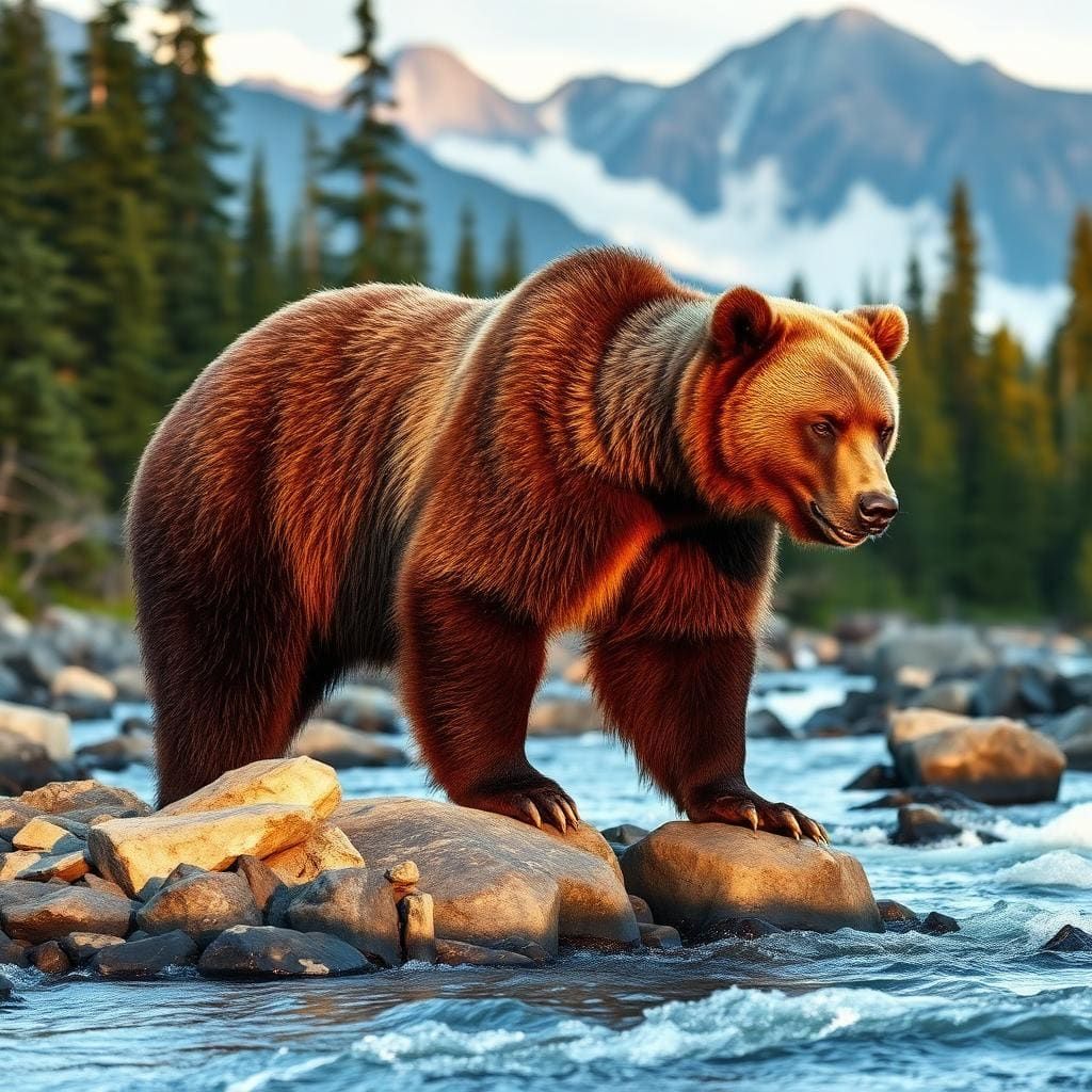
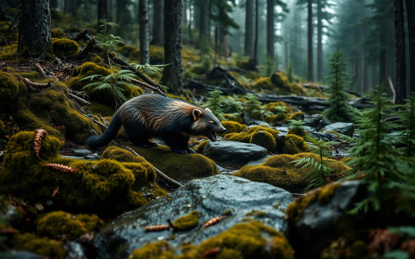
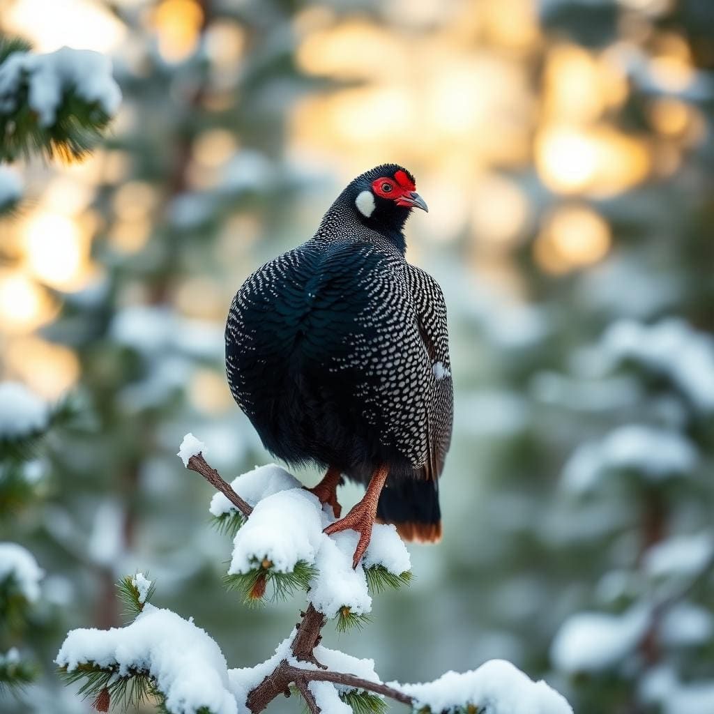
The remote southwestern fringe of the Gila is prime habitat for apex predators and high-desert species alike. Black bears forage heavily throughout the Turkey Creek corridor in autumn, gorging on wild berries and canyon mast before denning up. Bear canisters or proper counter-balance hangs are mandatory, as canyon trees are often stunted, scrubby, and difficult to rig effectively. Mountain lions roam the steep canyon rims, and sign is common along the sandy wash bottoms. Diamondback and black-tailed rattlesnakes frequent the warm volcanic talus slopes through late October, requiring heightened vigilance when placing hands on boulder scrambles. In the creek itself, protected Gila trout navigate the cooler pools. Cattle frequently wander onto the Skeleton Ridge plateau and lower canyon margins from neighboring grazing allotments, meaning all open water sources must be thoroughly filtered to guard against Giardia and agricultural runoff.
Access and Wilderness Regulations
Accessing the trailhead requires careful vehicle planning and reliable equipment. The final approach road off Highway 180 near Cliff crosses private ranch land, unmaintained dirt washouts, and an unbridged ford of the Gila River. A true high-clearance four-wheel-drive vehicle is non-negotiable; attempting this crossing in an all-wheel-drive crossover risks swamping the engine or high-centering in loose river gravel. When river levels rise above normal base flow, the crossing becomes entirely impassable. No permits or entry fees are required for overnight backpacking in the Gila Wilderness, though signing the trailhead register helps backcountry rangers track user density and assists search-and-rescue teams during emergencies. Backcountry camping follows standard wilderness ethics: camp at least 200 feet from water sources where topography allows, carry out all waste, and bury human waste at least six to eight inches deep in mineral soil away from the drainage.
Hazards and Navigation Realities
Turkey Creek exposes backpackers to objective wilderness hazards that punish careless planning. The canyon section is a notorious ankle-breaker, where wet river boots must contend with greasy, submerged rocks and brittle brush that tears through lightweight pack fabrics. Once you break out of the creek bed and commit to the Skeleton Ridge ascent, surface water vanishes entirely. Hikers must carry or cache every drop needed for the strenuous multi-mile traverse under full sun exposure, requiring at least four to five liters per person in warm conditions. Route-finding challenges compound the physical strain; cattle trails frequently lure backpackers away from the proper ridge line, leading to dead-end cliff bands above adjacent ravines. Cell phone coverage is non-existent within the gorge and unreliable across the mesas. Carry a satellite messenger, travel with a partner, and budget far more transit time than mileage figures suggest.
How we chose
We built this ranking from land-manager and agency sources, permit records and published trip reports. Each of the 10 places was compared against the same criteria below. This is desk research unless a pick is marked field tested.
- Quality of the terrain
- Landscape, route variety, and whether the place rewards multiple days rather than one overlook.
- Season and weather windows
- How long the reliable window is, and how badly the shoulder seasons punish a bad forecast.
- Access and permits
- Trailhead logistics, permit odds, quotas, and how much lead time a trip realistically takes.
- Solitude vs. crowding
- How far you have to walk before the place feels like wilderness instead of a queue.
- Wildlife and ecology
- What you can reasonably expect to see, and what you have to plan around.
- Risk and skill required
- Navigation, water crossings, exposure, and rescue distance — stated plainly.
Turkey Creek Hot Springs Loop — frequently asked questions
- Is Turkey Creek Hot Springs Loop worth the trip?
- We rank it #3 in Top 10 Gila Wilderness Loops. Located on the southwestern margin of the Gila Wilderness near the town of Cliff, Turkey Creek offers a rougher, less manicured alternative to the developed trails near the visitor center. The route combines the Turkey Creek Trail (Trail 155) with portions of the Skeleton Ridge Trail or high mesa cattle paths to…
- Who is Turkey Creek Hot Springs Loop best for?
- Best for experienced desert canyon backpackers, fall shoulder-season wilderness treks, primitive hot spring seekers and self-reliant off-trail navigators. Standouts: truly primitive hot springs with zero commercial infrastructure and high level of backcountry solitude compared to popular gila forks.
- What are the drawbacks of Turkey Creek Hot Springs Loop?
- Requires high-clearance 4WD and a river ford to reach the trailhead, Challenging off-trail boulder scrambling over slick, wet bedrock and Complete absence of water sources along the Skeleton Ridge return.
- What are the key details for Turkey Creek Hot Springs Loop?
- Distance: 18 to 22 miles · Elevation Gain: 2,500 to 3,000 feet · Route Type: Rugged semi-loop · Land Manager: Gila National Forest · Best Window: October to mid-November
- Canyon Floor to Dry Ridge — what should I know about the Turkey Creek Hot Springs Loop?
- The lower half of the loop traces the incised volcanic drainage of Turkey Creek, where towering rhyolite cliffs flank a floor littered with truck-sized boulders and dense riparian brush. Trail 155 frequently washes away during high water, turning travel into an exercise in creek bed scouting and constant wading.
- Optimal Seasons and Hydrology — what should I know about the Turkey Creek Hot Springs Loop?
- Timing is critical along Turkey Creek due to the volatility of desert runoff. Autumn, specifically October through early November, offers the premier window.
Where on earth
Satellite imagery flying in from a world view to Turkey Creek Hot Springs Loop, New Mexico, United States. Use the + / − buttons, or click the map to zoom with your scroll wheel; drag to pan and pinch to zoom on touch.
Turkey Creek Hot Springs, 529 Turkey Creek Rd, Gila, NM 88038, USA · 33.130, -108.478
Wildlife found around Turkey Creek Hot Springs Loop



Compare side by side
Put the Turkey Creek Hot Springs Loop against any other pick on this list — specs, price, pros, cons and reader ratings.