



Reader rating
Rate it and you move it. Community ratings re-rank this product inside its Top 10 list.
Expert-picked, reader-ranked. Our editors choose the products and the launch order; member star ratings move picks up or down over time.
South Cape Beach State Park faces Nantucket and Vineyard Sounds, delivering a completely different surf casting landscape than the heavy ocean beaches of the Outer Cape. The water here warms up weeks earlier in the spring, making it a premier May destination for schoolies and migratory keepers feeding on sea herring, squid, and worms. The shoreline is bordered to the west by the narrow, rock-flanked inlet to Waquoit Bay. Park at the public South Cape Beach lot inside the state park reserve. From there, take the boardwalk over the marsh and head west toward the Waquoit Bay jetty. The jetty produces a fast, sweeping tide rip on both the flood and ebb stages. Stripers hold behind the stone tips, waiting for crabs and baitfish to flush out of the estuary. Tidal current is strong through the inlet, but the open beach surf is usually mild and manageable, allowing anglers to cast lighter tackle than what is required on the Atlantic side. Working floating minnow plugs, small poppers, and soft plastic sand eels around the jetty base at dusk or dawn consistently produces strikes without punishing ocean swells. **Highlights** - Target species: Striped bass, bluefish, and early-season squidding - Top structure: Granite jetties, salt pond inlet mouth, and shallow sound flats - Seasonality: Strong early spring bite (May-June) and reliable fall run (September-October) - Walking distance: Approximately 0.75 miles flat walk along the beach to the jetty - Parking: State park day-use lot with straightforward public footpaths **Watch-outs** - Jetty rocks are uneven, slippery, and hazardous to navigate at night - Weed buildup (mung/drift algae) can choke lures when southwest winds blow hard - Modest Massachusetts DCR parking fees charged from late spring through Labor Day
Pros
- Warms up weeks earlier in spring than outer ocean beaches
- Gentle surf allows the use of light tackle and small plugs
- Reliable tidal rip fed by an active estuarine bait nursery
- Straightforward flat approach with well-maintained public parking
Cons
- Heavy drift weed frequently fouls lines on southwest winds
- Inlet jetty stones are dangerously slick after dark
- Seasonal state park parking fees enforced during summer months
Best uses
- Early season May schoolie hunting
- Light tackle dusk plugging
- Inlet drift fishing on outgoing tides
- Fall run estuary mouth casting
Specifications
- Location
- Mashpee, Massachusetts
- Water Body
- Nantucket Sound and Waquoit Bay
- Primary Target
- Striped bass and bluefish
- Access Point
- South Cape Beach State Park main lot
- Top Structure
- Granite jetties and inlet rip lines
- Optimal Tide
- Mid to late ebb tide
Best for
Early season May schoolie hunting, Light tackle dusk plugging, Inlet drift fishing on outgoing tides, Fall run estuary mouth casting
Tucked along the south-facing rim of Mashpee, this barrier beach fronts the relatively docile waters of Nantucket Sound. While the thumping surf of the Outer Cape gets all the national press, the southern shoreline behaves according to an entirely different biological clock. Shallow shoals and protected sound waters warm weeks ahead of the Atlantic side, turning this stretch of coarse sand and salt marsh into an early-season sanctuary for migratory striped bass chasing sea herring, sand eels, and squid. The real focal point sits three-quarters of a mile west of the primary public lot, where the shoreline terminates at the narrow mouth of the Waquoit Bay inlet. Flanked by low-profile granite jetties, this cut drains a massive estuarine nursery. On an ebbing tide, nutrient-rich water funnels baitfish, silversides, and green crabs out through the rip, creating an ambush conveyor belt for linesiders stacked in the eddy lines. Foot travel is flat and uncomplicated, crossing a timber boardwalk over coastal wetlands before following the hard-packed tide line west. Because wave energy here is tempered by Martha's Vineyard on the horizon, anglers can leave heavy ten-foot heavers at home. An eight-foot rod, a handful of unweighted soft plastics, and an eye on the tide chart are all that is required to fish productive water.
Geography and Coastal Structure
The terrain consists of a sandy barrier spit caught between the open expanse of Nantucket Sound and the brackish marsh systems of Sage Lot Pond and Waquoit Bay. Unlike the towering clay bluffs of the Atlantic backside, this coastline is low, flat, and heavily influenced by longshore drift. The primary angling draw is the inlet rip at the western boundary. A pair of twin stone jetties stabilizes the channel mouth, constricting the tidal volume into a hard-running funnel. Inside the inlet, the bottom transitions from firm sand to scoured gravel, with deep pockets carved out just off the jetty tips where stripers pin forage against the stone face.
Seasonal Timing and Weather Windows
Action kicks off in early May when the shallows of Nantucket Sound hit the mid-fifties well before the eastern beaches shake off winter. School-sized bass flood the flats first, followed quickly by larger migratory fish shadowing incoming squid schools and spawning river herring. By late June, the daytime bite slows as summer bathers take over the sand, forcing surfcasters into the midnight tides. September and October spark a second resurgence when cooling water pushes peanut bunker and finger mullet out of Waquoit Bay. Sustained southwest winds drive warm water and bait toward the beach, though extreme blows will push in heavy drift weed.
Tackle and Presentation Tactics
Because the sound surf rarely throws heavy rolling breakers, you can downsize tackle significantly. A medium-power, eight-to-nine-foot surf rod rated for half-ounce to two-ounce payloads offers ideal sensitivity. Load a four-thousand-size spinning reel with twenty-pound braid and a fluorocarbon leader. During the spring squid run, white and pink swimming plugs or floating minnows worked slow along the current seam take fish reliably. When drifting the inlet current on an ebb tide, swing unweighted soft-plastic sand eels or paddle tails down through the water column, keeping light contact so the lure rolls naturally over the rocks where bass hold near bottom.
Inlet Hazards and Night Footing
The jetty looks straightforward in daylight, but the granite blocks are uneven, irregular, and slick with sea lettuce below the high-water line. Anyone planning to step out onto the rocks needs studded footwear like carbide-tipped wading boots; bare rubber soles on wet slime will drop you into the rocks quickly. The inlet current runs at several knots, and an accidental swim in full waders through that cut can become catastrophic. At night, keep your red headlamp beam pointed down and away from the water to avoid putting down bass feeding shallow in the rip, and step cautiously around weed-slick gaps between boulders.
Access Regulations and Fees
Access is managed under South Cape Beach State Park by the Massachusetts Department of Conservation and Recreation. A paved parking area sits at the end of Great Oak Road, offering clean trail access to the beachfront boardwalk. From Memorial Day weekend through Labor Day, the state charges daily parking fees or requires an annual Massachusetts DCR parking pass. After hours, surfcasters can park legally provided they possess a valid state saltwater fishing registry and are actively fishing. Beach buggies and off-road driving are prohibited here, so all fishing requires hoofing your gear in on foot.
Estuarine Wildlife and Ethics
Bordering the Waquoit Bay National Estuarine Research Reserve, the area supports critical coastal wildlife alongside its fishery. Piping plovers and least terns nest along the upper dunes from late spring into summer, leading to temporary string-fencing closures that narrow the walking corridor above the high-tide line. Respect all posted boundary markers to protect nesting shorebirds. Harbor seals regularly hunt the inlet current, sometimes trailing hooked fish directly to the stones. If seals camp out in the main current seam, lure bites will die instantly; moving fifty yards down the sound-facing beach is often the only fix.
How we chose
We built this ranking from land-manager and agency sources, permit records and published trip reports. Each of the 10 places was compared against the same criteria below. This is desk research unless a pick is marked field tested.
- Quality of the terrain
- Landscape, route variety, and whether the place rewards multiple days rather than one overlook.
- Season and weather windows
- How long the reliable window is, and how badly the shoulder seasons punish a bad forecast.
- Access and permits
- Trailhead logistics, permit odds, quotas, and how much lead time a trip realistically takes.
- Solitude vs. crowding
- How far you have to walk before the place feels like wilderness instead of a queue.
- Wildlife and ecology
- What you can reasonably expect to see, and what you have to plan around.
- Risk and skill required
- Navigation, water crossings, exposure, and rescue distance — stated plainly.
South Cape Beach — frequently asked questions
- Is South Cape Beach worth the trip?
- We rank it #8 in Top 10 Cape Cod Bass Surf Spots. South Cape Beach State Park faces Nantucket and Vineyard Sounds, delivering a completely different surf casting landscape than the heavy ocean beaches of the Outer Cape. The water here warms up weeks earlier in the spring, making it a premier May destination for schoolies and migratory keepers feeding on sea herring,…
- Who is South Cape Beach best for?
- Best for early season may schoolie hunting, light tackle dusk plugging, inlet drift fishing on outgoing tides and fall run estuary mouth casting. Standouts: warms up weeks earlier in spring than outer ocean beaches and gentle surf allows the use of light tackle and small plugs.
- What are the drawbacks of South Cape Beach?
- Heavy drift weed frequently fouls lines on southwest winds, Inlet jetty stones are dangerously slick after dark and Seasonal state park parking fees enforced during summer months.
- What are the key details for South Cape Beach?
- Location: Mashpee, Massachusetts · Water Body: Nantucket Sound and Waquoit Bay · Primary Target: Striped bass and bluefish · Access Point: South Cape Beach State Park main lot · Top Structure: Granite jetties and inlet rip lines
- Geography and Coastal Structure — what should I know about the South Cape Beach?
- The terrain consists of a sandy barrier spit caught between the open expanse of Nantucket Sound and the brackish marsh systems of Sage Lot Pond and Waquoit Bay. Unlike the towering clay bluffs of the Atlantic backside, this coastline is low, flat, and heavily influenced by longshore drift.
- Seasonal Timing and Weather Windows — what should I know about the South Cape Beach?
- Action kicks off in early May when the shallows of Nantucket Sound hit the mid-fifties well before the eastern beaches shake off winter. School-sized bass flood the flats first, followed quickly by larger migratory fish shadowing incoming squid schools and spawning river herring.
Where on earth
Satellite imagery flying in from a world view to South Cape Beach, Massachusetts, United States. Use the + / − buttons, or click the map to zoom with your scroll wheel; drag to pan and pinch to zoom on touch.
South Cape Beach, Mashpee, MA 02649, USA · 41.552, -70.506
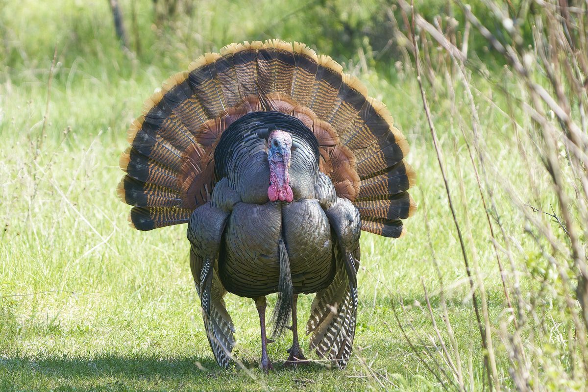
Wildlife found around South Cape Beach





Compare side by side
Put the South Cape Beach against any other pick on this list — specs, price, pros, cons and reader ratings.