



Where on earth
Satellite imagery flying in from a world view to Annapurna Base Camp Trek, Nepal. Use the + / − buttons, or click the map to zoom with your scroll wheel; drag to pan and pinch to zoom on touch.
- Region
- Nepal
- Biome
- Himalayan alpine (1,100–4,130 m)
- Best season
- October – November, March – May
- Difficulty
- moderate
- Backpacking
- Hiking
- Climbing
Key takeaways
- Biome: Himalayan alpine (1,100–4,130 m)
- Best season: October – November, March – May
- Difficulty: moderate
- Top activity: backpacking
Photos of Annapurna Base Camp Trek
Topic summary
The 110-km 10-day trek into the Annapurna Sanctuary — a natural amphitheatre at 4,130 m.
Key takeaways
- Difficulty: moderate
- Best season: October – November, March – May
Intended uses
backpacking
Climate suitability
Himalayan alpine (1,100–4,130 m)
Tools for a trip here
Picked for how, when and where you're going. Free, no signup.
- Sleep System Temp CalculatorCold nights: check your bag and pad add up to a safe sleep.
- Base Weight CalculatorEvery ounce is carried — total your kit and find your base weight.
- Pack Volume SizerSize the pack for your trip length and season.
- Water Purification MatrixTreat water from streams and lakes on trail.
- Layering CalculatorCold-season miles: layer for climbs and camp.
Plan with verified data
Annapurna Base Camp Trek trip tools
How to get there
Plan the approach around the Pokhara foothills. Phedi is the starting point for the described 38 km approach to Annapurna Base Camp; return itineraries can exit via Phedi or Nayapul. Confirm local transport arrangements for the chosen entry and exit.
- Phedi
Starting point for the described approach to Annapurna Base Camp and an exit option for the return trek.
- Nayapul
Alternative exit for the return from Annapurna Base Camp. Choosing this exit affects the total itinerary distance.
Sources: Wikipedia · Wikivoyage. Confirm road and trailhead conditions with the managing agency before you leave.
Popular pursuits at Annapurna Base Camp Trek
- Backpacking
Multi-day travel with everything on your back — see the packing blocks below.
- Hiking
Day miles on marked trail, with route notes and trail links below.
- Climbing
Rock and alpine lines with approach beta.
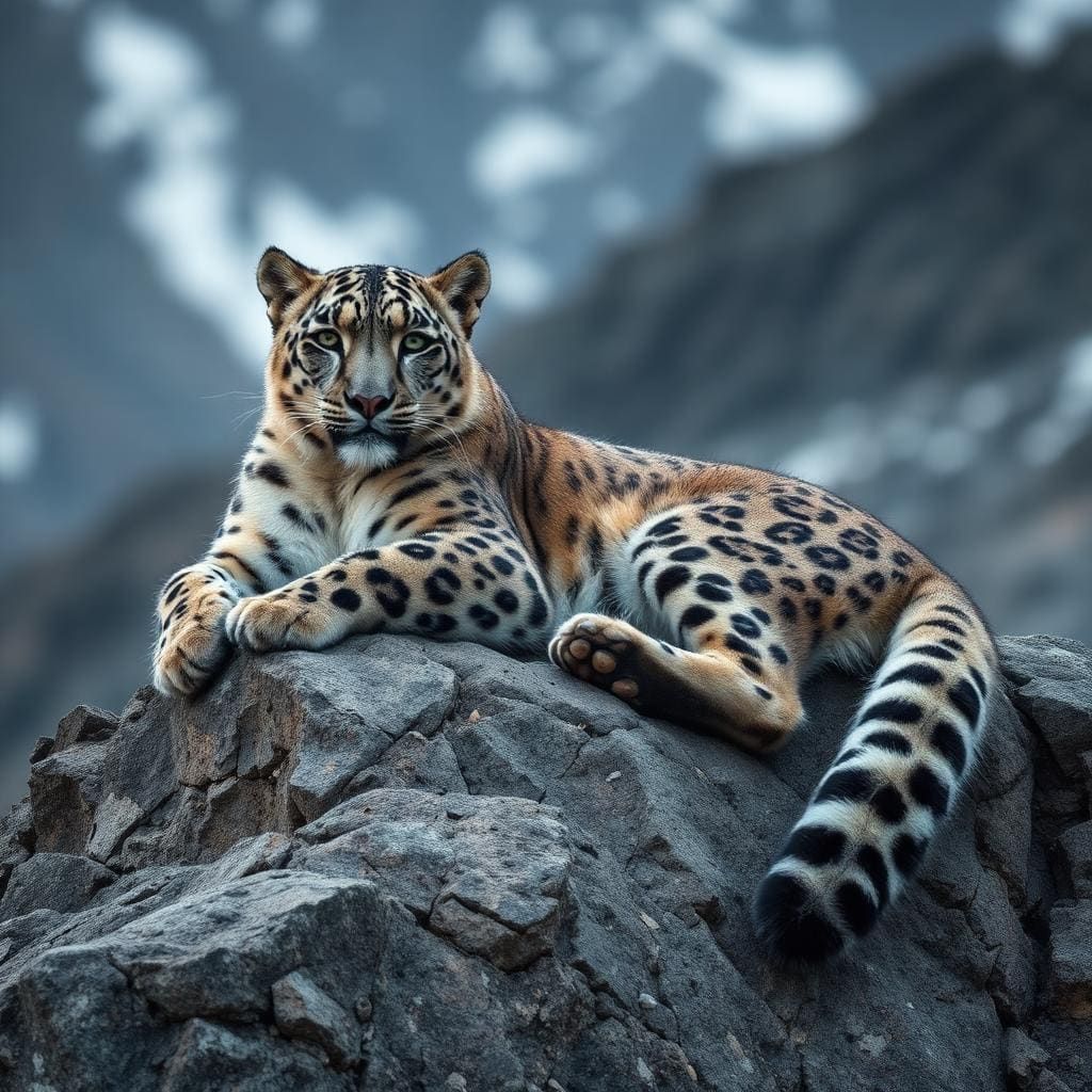
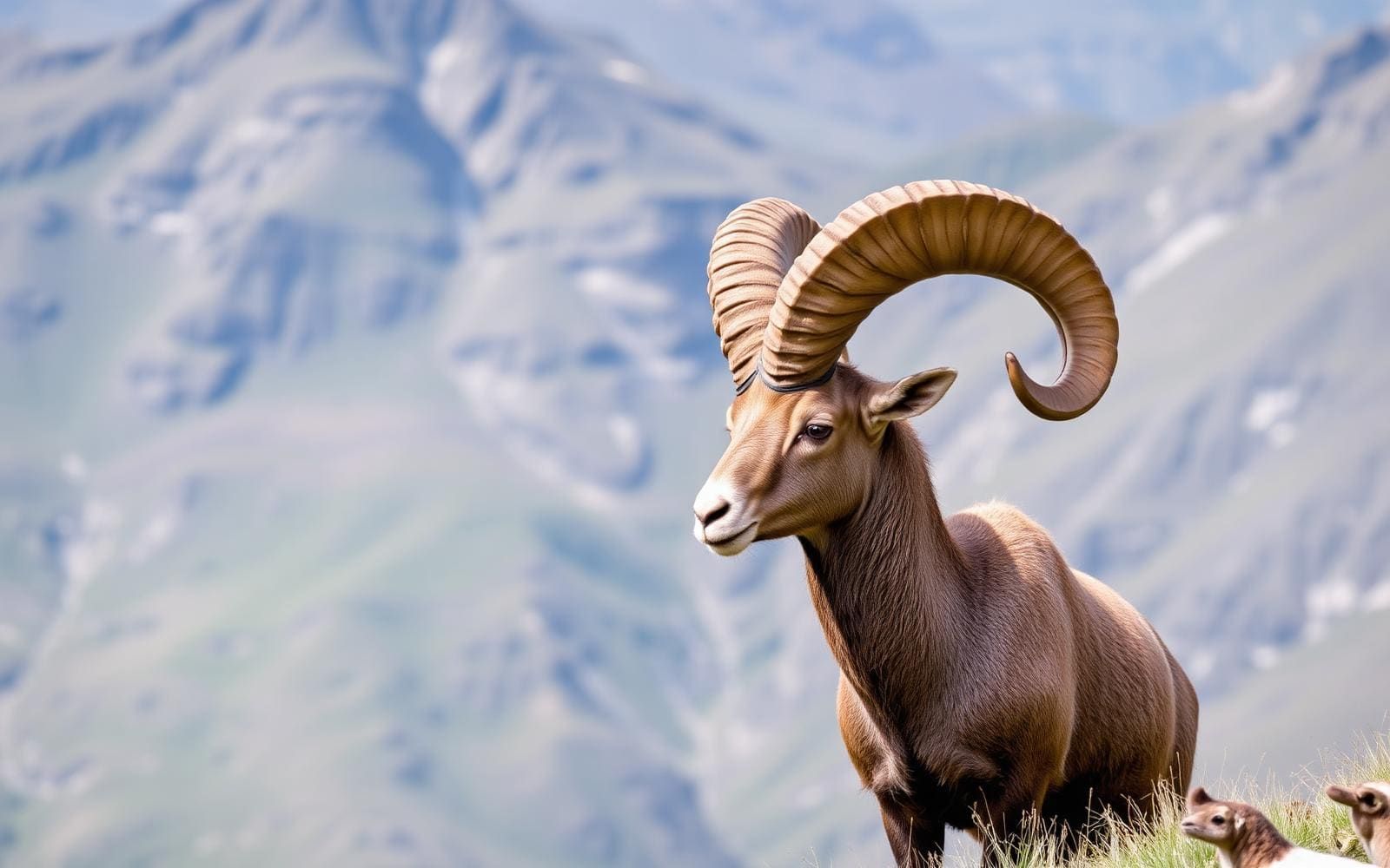
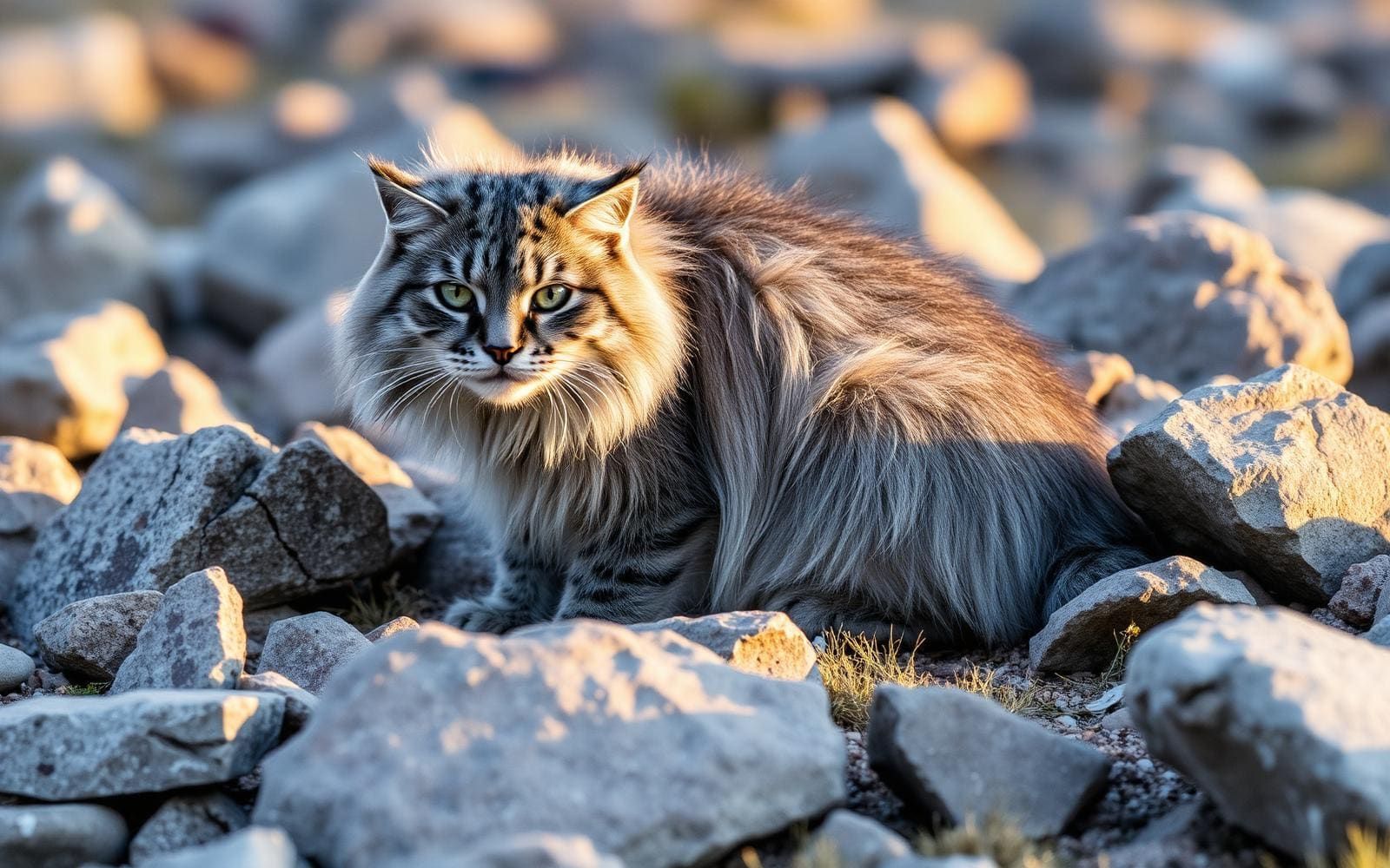
Animals around Annapurna Base Camp Trek

Maps, GPS & compass for this trip
Carry a waterproof paper map and a compass you can steer by, and treat the GPS as the backup — not the other way round. Buying links go to Amazon; Wild10 earns a commission at no cost to you.
Waterproof topo maps
- Waterproof topographic map — Annapurna Base Camp TrekAmazon search for waterproof, tear-resistant topo maps covering this area.
- National Geographic Trails IllustratedThe waterproof Trails Illustrated series — check for a sheet covering this area.
- Waterproof map case & compass lanyardKeep a paper map readable in rain, spray and a swamped boat.
Fishing at Annapurna Base Camp Trek
Planning to fish Annapurna Base Camp Trek, Nepal? Fishing licences, open seasons and catch limits in Nepal are set by the local wildlife authority and change every year — check the official source before you cast a line.
Do I need a fishing licence at Annapurna Base Camp Trek?
- A Nepal fishing licence is normally required for anyone over the local youth age.
- Read the current Nepal fishing regulations for special waters, barbless-hook or catch-and-release rules.
- Clean, drain and dry boats and gear between waters to stop invasive species.
We don't have a verified licensing link on file for Nepal yet — contact the park or land manager listed on this page for current hunting and fishing rules.
Hunting near Annapurna Base Camp Trek
Thinking about hunting Annapurna Base Camp Trek, Nepal? Hunting seasons, tags and draws in Nepal are set by the wildlife authority each year. Confirm the rules for your species and unit before you go.
Is hunting allowed at Annapurna Base Camp Trek?
- Confirm the land around Annapurna Base Camp Trek is open to hunting and which management unit it falls in.
What do I need to hunt in Nepal?
- A Nepal hunting licence — most jurisdictions also require hunter education certification.
- Species tags or draw results for big game such as deer, elk, moose or bear where they occur.
- Knowledge of firearm and bow transport rules, which differ by land type and border crossing.
We don't have a verified licensing link on file for Nepal yet — contact the park or land manager listed on this page for current hunting and fishing rules.
From the Pokhara foothills to Annapurna Base Camp
The Annapurna Base Camp trek, also called the Annapurna Sanctuary trek, climbs from the Pokhara foothills into a high glacial amphitheatre in Nepal. Its finish is Annapurna Base Camp at about 4,130 m, surrounded by a mountain setting that includes Annapurna I, Hiunchuli and the sacred Machhapuchhre. Annapurna I rises to 8,091 m, giving the destination a striking contrast between the elevation reached on foot and the peaks overhead. The approach is part of the experience: Gurung villages and terraced fields give way to bamboo and rhododendron forest before the upper mountain basin. This is a trek into the Annapurna Sanctuary, not a journey around the Annapurna Massif; the Annapurna Circuit is a separate route with different access points and a high-pass crossing.
Trail character and overnight planning
The trail follows old paths along the Modi Khola, linking settled foothills with the glacial landscape around base camp. Gurung villages, cultivated terraces, bamboo and rhododendron forest give the approach a varied character rather than a continuous stretch of exposed mountain terrain. Teahouses are found throughout the route, making them an important part of overnight planning. Their presence should not be treated as a guarantee of a particular room, service or level of comfort. Plan stages around a sustainable walking pace and the increasing elevation rather than distance alone. At about 4,130 m, the destination is high enough that acclimatization deserves attention. Carry layers suited to the transition from lower foothills to a high mountain basin, and leave room in the itinerary to adjust to conditions.
Distance, exits and choosing the right itinerary
From Phedi to Annapurna Base Camp, the described stages add up to about 38 km one way. A typical return trek totals roughly 75–80 km, with the final distance depending on whether the exit is via Phedi or Nayapul. Treat those figures as itinerary estimates rather than a fixed length for every version of the trek. Decide on the entry and exit before arranging transport, and check that the daily stages match that choice. Avoid confusing ABC logistics with those of the Annapurna Circuit: Besisahar and Bhulbhule are Circuit starting points, while Thorung La belongs to that separate journey around the massif. For this trek, planning should stay focused on the Pokhara foothills, the Modi Khola approach and the return from the Sanctuary.
Route options
- Phedi to Annapurna Base CampAbout 38 km one way
An approach from the foothills through Gurung villages, terraced fields, bamboo and rhododendron forest. The route follows old paths along the Modi Khola into the Annapurna Sanctuary, finishing at about 4,130 m. Teahouses are present throughout.
- Annapurna Base Camp return trekRoughly 75–80 km total
Continue back from the Sanctuary with an exit via Phedi or Nayapul. Set the exit in advance when planning walking stages and onward transport; the total distance varies with that choice.
Sample itineraries
- Phedi–ABC out-and-back planning outline · 10 days
Suggested planning allowance, not a fixed stage schedule. Walk from Phedi toward Annapurna Base Camp through terraced fields, Gurung villages, and bamboo and rhododendron forest. Return via Phedi. Confirm daily stages locally and adjust for acclimatization; ABC sits at about 4,130 m.
- Phedi approach with Nayapul exit · 12 days
Suggested flexible planning allowance for reaching ABC from Phedi and exiting via Nayapul. The trek follows old paths along the Modi Khola into the Annapurna Sanctuary, with teahouses throughout. Confirm the exit connections and overnight stages locally rather than treating this allowance as a verified schedule.
Seasonal conditions
Spring
Spring departures
Plan for the contrast between the Pokhara foothills and the high glacial amphitheatre. Check current upper-route conditions before climbing; conditions in the villages do not establish what awaits at ABC.
Summer
Summer departures
Carry rain protection and keep insulation dry. Check weather and trail conditions locally before committing to higher stages; a summer departure does not remove the need for cold-weather layers at about 4,130 m.
Fall
Fall departures
Use current forecasts rather than assuming clear mountain views. Pack layers for the transition from fields and forest to the exposed high amphitheatre, and retain flexibility in the walking schedule.
Winter
Winter departures
Confirm upper-route footing, weather, and teahouse availability before departure. The high glacial setting calls for careful cold-weather preparation; do not assume services or trail conditions remain unchanged.
| Season | Window | Conditions |
|---|---|---|
| Spring | Spring departures | Plan for the contrast between the Pokhara foothills and the high glacial amphitheatre. Check current upper-route conditions before climbing; conditions in the villages do not establish what awaits at ABC. |
| Summer | Summer departures | Carry rain protection and keep insulation dry. Check weather and trail conditions locally before committing to higher stages; a summer departure does not remove the need for cold-weather layers at about 4,130 m. |
| Fall | Fall departures | Use current forecasts rather than assuming clear mountain views. Pack layers for the transition from fields and forest to the exposed high amphitheatre, and retain flexibility in the walking schedule. |
| Winter | Winter departures | Confirm upper-route footing, weather, and teahouse availability before departure. The high glacial setting calls for careful cold-weather preparation; do not assume services or trail conditions remain unchanged. |
Permits, fees & closures
Confirm current permit requirements, charges, and any booking procedures with the managing agency before departure.
Confirm current permits, fees, and closures with the managing agency before you go.
Hazards & regulations
- Altitude: Annapurna Base Camp is about 4,130 m. Build in acclimatization flexibility and avoid pushing upward when unwell.
- Cold and exposure: the route leaves foothill villages and forest for a high glacial amphitheatre. Carry insulation and weather protection.
- Changing mountain weather: check conditions before higher stages and be prepared to alter the plan.
- Footing: old paths through fields and forest require attention, particularly when wet. Wear footwear with reliable grip.
What to pack for Annapurna Base Camp Trek
- Layered insulation for the high camp
- Waterproof shell and pack protection
- Warm hat and gloves
- Footwear with reliable grip
- Trekking poles
- Route information covering the chosen exit
- Headlamp
- Water bottles and water treatment
- Personal medicines and basic first-aid supplies
- Sun protection
- Trail snacks
Annapurna Base Camp Trek FAQ
- Is Annapurna Base Camp the same trek as the Annapurna Circuit?
- No. The ABC trek, also called the Annapurna Sanctuary trek, climbs into a high glacial amphitheatre. The Annapurna Circuit encircles the Annapurna Massif and crosses Thorung La. Circuit distances and access details should not be used to plan ABC.
- How long is the ABC route?
- The Phedi-to-ABC approach is about 38 km one way. A return trek totals roughly 75–80 km, depending on whether the exit is via Phedi or Nayapul. Confirm the selected route before setting daily targets.
- What elevation does the trek reach?
- Annapurna Base Camp is about 4,130 m. That elevation makes acclimatization and a flexible schedule important, even though the trek begins in the Pokhara foothills.
- What scenery defines the trek?
- The route passes Gurung villages, terraced fields, and bamboo and rhododendron forest along the Modi Khola. Higher up, the Annapurna Sanctuary forms a glacial amphitheatre ringed by Annapurna I, Hiunchuli, and Machhapuchhre.
- Are there places to stay along the route?
- Teahouses occur throughout the trek. Confirm current availability and suitable overnight stages locally, especially before continuing into the higher section.