



Where on earth
Satellite imagery flying in from a world view to Manaslu Circuit, Nepal. Use the + / − buttons, or click the map to zoom with your scroll wheel; drag to pan and pinch to zoom on touch.
- Region
- Nepal
- Biome
- Himalayan alpine (700–5,213 m)
- Best season
- October – November, March – May
- Difficulty
- moderate
- Backpacking
- Hiking
- Climbing
Key takeaways
- Biome: Himalayan alpine (700–5,213 m)
- Best season: October – November, March – May
- Difficulty: moderate
- Top activity: backpacking
Photos of Manaslu Circuit
Topic summary
A 14-day 177-km trek around Manaslu (8,163 m) via the Larkya La pass — quieter than Annapurna.
Key takeaways
- Difficulty: moderate
- Best season: October – November, March – May
Intended uses
backpacking
Climate suitability
Himalayan alpine (700–5,213 m)
Tools for a trip here
Picked for how, when and where you're going. Free, no signup.
- Sleep System Temp CalculatorCold nights: check your bag and pad add up to a safe sleep.
- Base Weight CalculatorEvery ounce is carried — total your kit and find your base weight.
- Pack Volume SizerSize the pack for your trip length and season.
- Water Purification MatrixTreat water from streams and lakes on trail.
- Layering CalculatorCold-season miles: layer for climbs and camp.
Plan with verified data
Manaslu Circuit trip tools
How to get there
Manaslu Circuit is in Nepal, Nepal. Its center point is 28.4833, 84.5333. Use these links for live turn-by-turn directions from where you are, then confirm road, trailhead and access conditions with the managing agency before you leave.
- Budhi Gandaki River corridor
The circuit follows an ancient salt-trading route along this river. It is the named approach corridor, rather than a specified roadhead or transport arrival point.
- Annapurna side
The circuit crosses the pass and descends toward Annapurna. This identifies the onward region, not a specific exit village or vehicle pickup point.
Popular pursuits at Manaslu Circuit
- Backpacking
Multi-day travel with everything on your back — see the packing blocks below.
- Hiking
Day miles on marked trail, with route notes and trail links below.
- Climbing
Rock and alpine lines with approach beta.
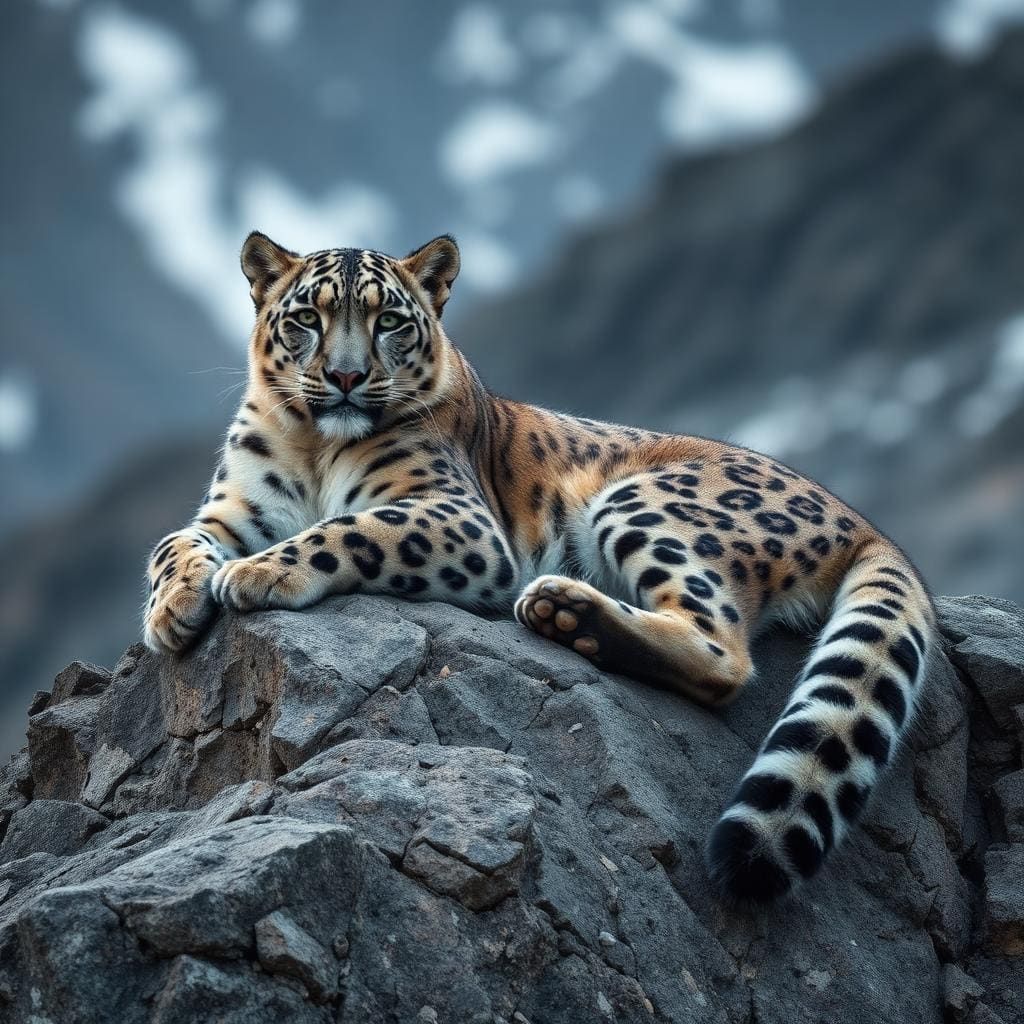
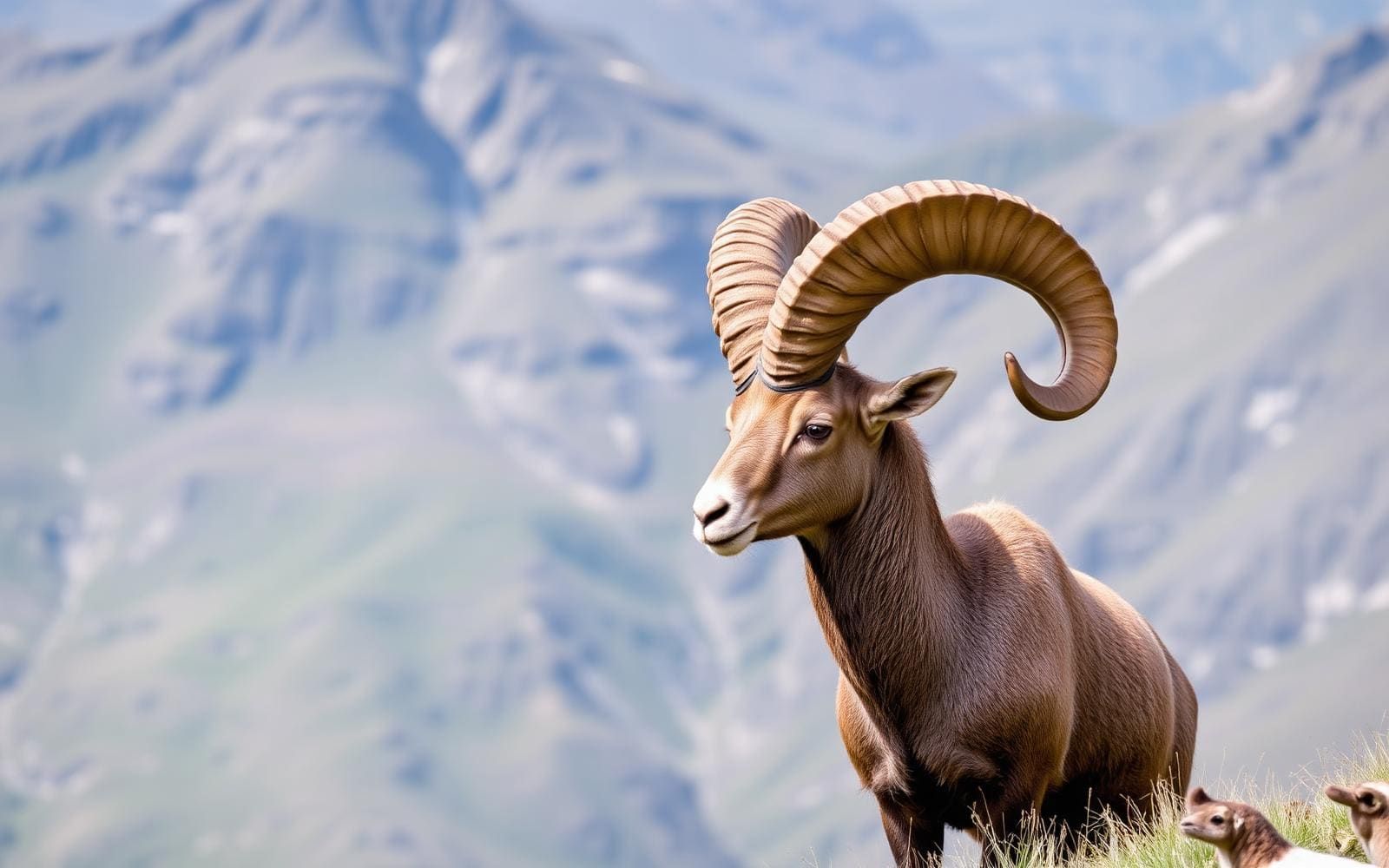
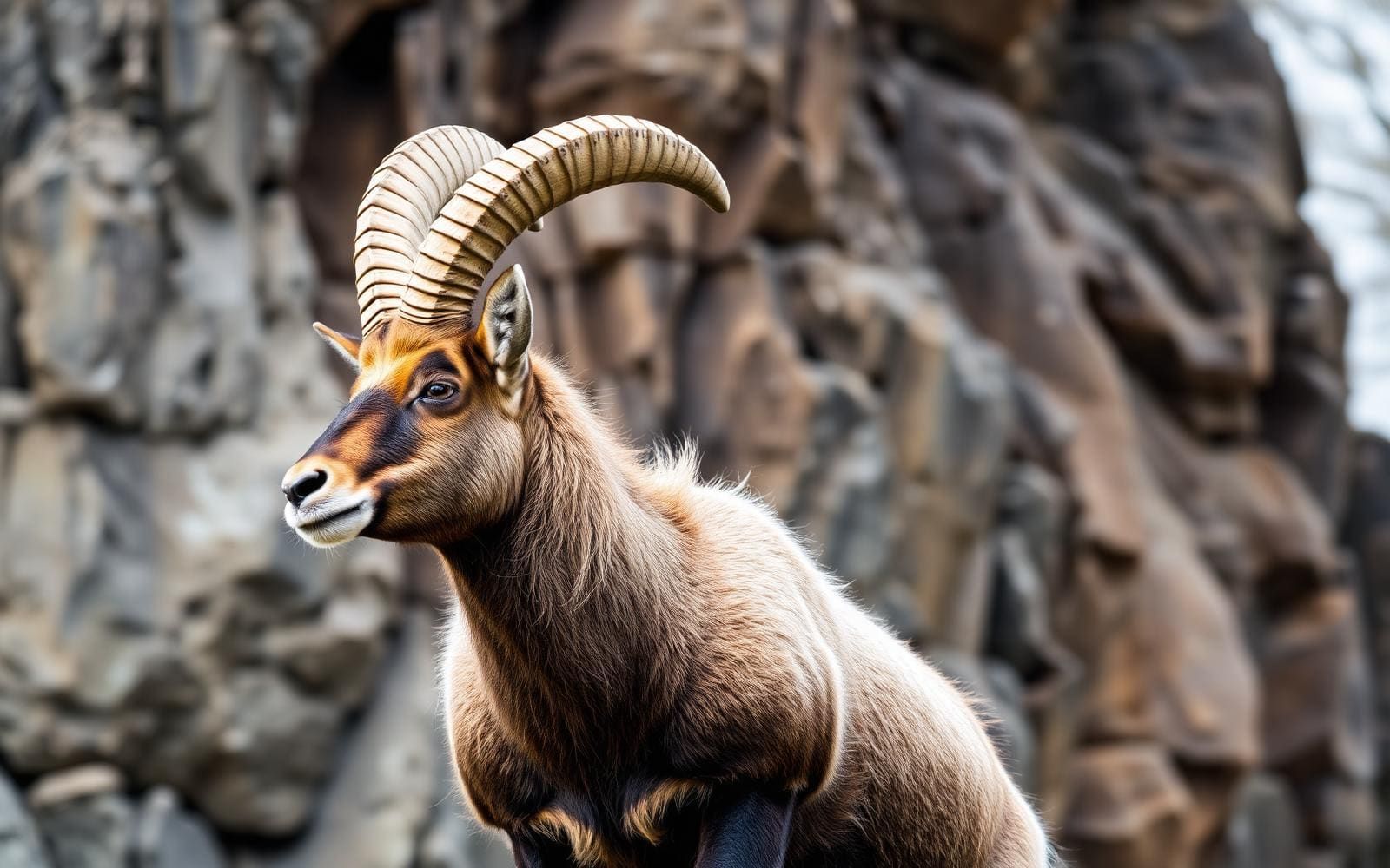
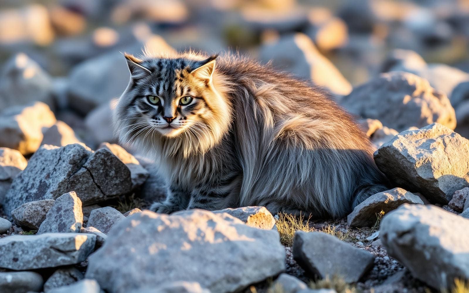
Animals around Manaslu Circuit
Maps, GPS & compass for this trip
Carry a waterproof paper map and a compass you can steer by, and treat the GPS as the backup — not the other way round. Buying links go to Amazon; Wild10 earns a commission at no cost to you.
Waterproof topo maps
- Waterproof topographic map — Manaslu CircuitAmazon search for waterproof, tear-resistant topo maps covering this area.
- National Geographic Trails IllustratedThe waterproof Trails Illustrated series — check for a sheet covering this area.
- Waterproof map case & compass lanyardKeep a paper map readable in rain, spray and a swamped boat.
Fishing at Manaslu Circuit
Planning to fish Manaslu Circuit, Nepal? Fishing licences, open seasons and catch limits in Nepal are set by the local wildlife authority and change every year — check the official source before you cast a line.
Do I need a fishing licence at Manaslu Circuit?
- A Nepal fishing licence is normally required for anyone over the local youth age.
- Read the current Nepal fishing regulations for special waters, barbless-hook or catch-and-release rules.
- Clean, drain and dry boats and gear between waters to stop invasive species.
We don't have a verified licensing link on file for Nepal yet — contact the park or land manager listed on this page for current hunting and fishing rules.
Hunting near Manaslu Circuit
Thinking about hunting Manaslu Circuit, Nepal? Hunting seasons, tags and draws in Nepal are set by the wildlife authority each year. Confirm the rules for your species and unit before you go.
Is hunting allowed at Manaslu Circuit?
- Confirm the land around Manaslu Circuit is open to hunting and which management unit it falls in.
What do I need to hunt in Nepal?
- A Nepal hunting licence — most jurisdictions also require hunter education certification.
- Species tags or draw results for big game such as deer, elk, moose or bear where they occur.
- Knowledge of firearm and bow transport rules, which differ by land type and border crossing.
We don't have a verified licensing link on file for Nepal yet — contact the park or land manager listed on this page for current hunting and fishing rules.
The circuit and its mountain setting
The Manaslu Circuit skirts the Manaslu massif in west-central Nepal, following a river valley before crossing a high pass toward Annapurna. The described trekking route covers 177 kilometres, with Larkya La marking its highest point at 5,106 metres. Above the circuit stands Manaslu, the eighth-highest mountain in the world at 8,163 metres and the highest peak in Gorkha District. It belongs to the Mansiri Himal, part of the Nepalese Himalayas. Long ridges and valley glaciers shape the massif, while its summit rises steeply above the surrounding landscape. This is a trek around a major Himalayan mountain, not an ascent of it; the walking route and the mountaineering objective should be treated as entirely different undertakings.
A river corridor and a high-pass crossing
The trail follows an ancient salt-trading route along the Budhi Gandaki River, giving the circuit a historical thread as well as a clear geographic one. Along the trek, ten peaks above 6,500 metres are visible, including several exceeding 7,000 metres. The route then crosses Larkya La and descends toward Annapurna. That combination of valley travel and a pass above 5,000 metres should shape the itinerary: allow room for acclimatization, changes in weather and a conservative decision about continuing higher. The full route length alone does not capture the demands of the crossing. Pack for cold and variable mountain conditions, and avoid treating the pass as a fixed appointment that must be reached regardless of health or weather.
Conservation and trip planning
Manaslu sits within the area covered by the Manaslu Conservation Area Project, established in 1997 to support conservation and sustainable management. For trekkers, that makes low-impact travel part of practical preparation: carry out litter, respect the river corridor and keep interactions with wildlife at a distance. Confirm current trekking permissions and access requirements with the managing agency before committing to an itinerary. Plan around the circuit's defining features—the Budhi Gandaki approach, the Larkya La crossing and the descent toward Annapurna—rather than assuming that every Himalayan trek has interchangeable logistics. Annapurna is a neighbouring trekking region with its own circuits and valley routes; reaching that side of the mountains does not mean those additional treks are included in the Manaslu Circuit.
Route options
- Manaslu Circuit177 kilometres (110 miles)A long, high-altitude trek requiring acclimatization and preparation for mountain weather.
Follow the Budhi Gandaki salt-trading corridor around the Manaslu massif, cross Larkya La at 5,106 metres and descend toward Annapurna. The route offers views of ten peaks exceeding 6,500 metres.
- Larkya La crossingHigh-altitude pass travel; allow for acclimatization and make progress conditional on health and weather.
The high-pass section of the Manaslu Circuit reaches 5,106 metres before the route descends toward Annapurna. Treat this as a component of the circuit, not a separately established short trek.
Sample itineraries
- Manaslu Circuit: 18-day planning outline · 18 days
Use this as a provisional time budget, not a verified stage schedule. Follow the Budhi Gandaki River's ancient salt-trading route around the Manaslu massif, cross Larkya La, and descend toward Annapurna. Confirm daily stages locally and allow time for acclimatization.
- Manaslu Circuit: 21-day flexible outline · 21 days
A suggested longer budget for the same circuit, with more room for acclimatization, rest, and weather delays. The route reaches 5,106 metres at Larkya La. Extra days provide flexibility but do not guarantee a safe crossing; set stages around conditions and the group's response to altitude.
Seasonal conditions
Spring
Spring; confirm current pass conditions
Do not judge Larkya La by conditions lower in the Budhi Gandaki valley. At 5,106 metres, cold and possible snow warrant checking the pass forecast and trail condition before committing to the crossing.
Summer
Summer; check rainfall and visibility forecasts
Plan around current mountain weather rather than assuming warm conditions throughout the circuit. Rain protection, dry insulation, and flexibility matter on a long valley-to-pass trek.
Fall
Fall; confirm high-elevation forecasts
Clear views are not guaranteed. Carry layers for the high crossing, check visibility and wind forecasts, and retain spare time rather than treating the planned pass day as fixed.
Winter
Winter; verify crossing feasibility locally
Treat cold, snow, and ice as serious planning concerns at Larkya La. Seek current advice on whether the crossing is appropriate for the group's equipment and experience; do not assume the route is passable.
| Season | Window | Conditions |
|---|---|---|
| Spring | Spring; confirm current pass conditions | Do not judge Larkya La by conditions lower in the Budhi Gandaki valley. At 5,106 metres, cold and possible snow warrant checking the pass forecast and trail condition before committing to the crossing. |
| Summer | Summer; check rainfall and visibility forecasts | Plan around current mountain weather rather than assuming warm conditions throughout the circuit. Rain protection, dry insulation, and flexibility matter on a long valley-to-pass trek. |
| Fall | Fall; confirm high-elevation forecasts | Clear views are not guaranteed. Carry layers for the high crossing, check visibility and wind forecasts, and retain spare time rather than treating the planned pass day as fixed. |
| Winter | Winter; verify crossing feasibility locally | Treat cold, snow, and ice as serious planning concerns at Larkya La. Seek current advice on whether the crossing is appropriate for the group's equipment and experience; do not assume the route is passable. |
Permits, fees & closures
Confirm current permit requirements and entry procedures with the managing agency before arranging the trek.
Confirm current permits, fees, and closures with the managing agency before you go.
Hazards & regulations
- Altitude illness: Larkya La reaches 5,106 metres. Ascend gradually, allow acclimatization time, and descend if symptoms worsen.
- Cold exposure: a high Himalayan crossing requires insulation and weather protection even when lower elevations feel mild.
- Snow or ice may make the high pass unsuitable for the group's equipment or experience. Verify conditions before proceeding.
- Poor visibility and changing mountain weather can complicate navigation and delay the crossing.
- Accumulated fatigue matters on the 177-kilometre route. Keep daily objectives flexible rather than forcing progress toward the pass.
What to pack for Manaslu Circuit
- Insulating layers
- Waterproof jacket and trousers
- Warm hat and gloves
- Sun protection and sunglasses
- Well-fitting trekking footwear
- Trekking poles
- Offline route information and backup navigation
- Headlamp and spare power
- Water treatment and refillable bottles
- First-aid supplies and blister care
- Personal medicines
- Trail food
- Waterproof bags for essential gear
Manaslu Circuit FAQ
- Where is the Manaslu Circuit?
- The circuit skirts the Manaslu massif in west-central Nepal. Manaslu lies in the Mansiri Himal, part of the Nepalese Himalayas, and is the highest peak in Gorkha District.
- How long is the route, and what is its highest point?
- The trekking route is described as 177 kilometres, with its highest point at Larkya La, 5,106 metres. Confirm the length of the specific route being arranged rather than applying that figure to every variation.
- Does the circuit climb Manaslu itself?
- No. The circuit skirts the massif and crosses Larkya La. Manaslu's summit is 8,163 metres; climbing it is a separate mountaineering undertaking.
- What defines the route?
- The trail follows an ancient salt-trading route along the Budhi Gandaki River, crosses a high pass, and descends toward Annapurna. The surrounding landscape includes long mountain ridges and valley glaciers.
- What mountain views can trekkers expect?
- The route offers views of 10 peaks over 6,500 metres, including several over 7,000 metres. Weather and visibility determine what is actually visible on any given day.
- How should the suggested trip lengths be used?
- Treat them as planning budgets, not established completion times. Confirm daily stages and access arrangements locally, prioritize acclimatization, and keep enough flexibility to delay or abandon the high crossing when necessary.