



- Region
- Nunavut, Canada
- Best season
- Spring, Summer
- Permits
- Confirm trip-specific permit requirements …
- Managed by
- Parks Canada, working cooperatively with Inuit.
Plan with verified data
Auyuittuq National Park trip tools
Tools for a trip here
Picked for how, when and where you're going. Free, no signup.
Photos of Auyuittuq National Park
How to get there
Plan access through Pangnirtung or Qikiqtarjuaq, where Parks Canada has park offices and provides visitor information. Local guides and outfitters can arrange transportation to and from the park. Confirm travel arrangements directly with an outfitter and Parks Canada; park inquiries are handled at 867-473-2500 in Pangnirtung and 867-927-8834 in Qikiqtarjuaq.
- Pangnirtung
Community base with a Parks Canada office and accommodation information. Guided spring trips to the Arctic Circle and summer hikes to Ulu Peak depart from here.
- Qikiqtarjuaq
Community base with a Parks Canada office, accommodation information and departures for guided spring and summer day trips. Discuss park transportation with local guides and outfitters.
Sources: parks.canada.ca · Wikipedia · Wikivoyage. Confirm road and trailhead conditions with the managing agency before you leave.
Nunavut, Canada · Season: Best: July - August
- Climbing
- Winter Camping
- Skiing
- Sea Kayaking
- Beachcombing
- Hiking
- Backpacking
- Wildlife Viewing
The country
Located on the Cumberland Peninsula of Baffin Island, this landscape is dominated by the Penny Ice Cap, a massive remnant of the last ice age. The park's valleys exhibit classic U-shaped glacial carving, flanked by towering, sheer granite formations. Vegetation is sparse, characterized by resilient Arctic tundra mosses and low-lying willows.
Why enthusiasts come
Mountaineers are drawn to some of the highest continuous rock walls on the planet, offering terrifyingly steep aid climbing and alpine routes. Trekkers come to traverse the deep river valleys that cut entirely across the peninsula, providing a navigable path through the harsh high-Arctic terrain.
Top experiences
The 97-kilometer hike through Akshayuk Pass is the premier backpacking route, following riverbeds beneath massive rock faces. Climbers test their endurance on the sheer granite flanks of Mount Thor and the twin flat-topped cylinders of Mount Asgard.
Planner-relevant notes
Mandatory orientation and registration with Parks Canada in Pangnirtung or Qikiqtarjuaq are required before entry. River crossings in Akshayuk Pass are notoriously dangerous and must be timed with low glacial melt in the early morning. Weather can ground flights and local boat shuttles for days, so extra rations are mandatory.
Field notes
- Water levels in the Weasel and Owl rivers surge vigorously by mid-afternoon due to glacial melt; cross before 8:00 AM.
- Bring dedicated neoprene socks and light trail runners specifically for the near-freezing, sustained river crossings.
- Polar bears are a distinct threat near the coastal trailheads; carry bear spray and an electric fence for camping near fjords.
- VHF marine radios and satellite messengers are essential as there is absolutely no cell service or quick rescue.
Where on earth
Satellite imagery flying in from a world view to Auyuittuq National Park, Nunavut, Canada. Use the + / − buttons, or click the map to zoom with your scroll wheel; drag to pan and pinch to zoom on touch.
Coordinates
- Decimal degrees
- 66.8833, -64.9833
- Latitude (DMS)
- 66° 52′ 59.9″ N
- Longitude (DMS)
- 64° 58′ 59.9″ W
Coordinates are an access-point reference for Auyuittuq National Park, not a route. Carry a paper map and confirm trailhead or put-in access with the managing agency before you go.
Topic summary
Dramatic granite spires pierce through massive glaciers in an extreme Arctic wilderness perfect for ski mountaineering and demanding packrafting.
Key takeaways
- Region: Nunavut, Canada
- Best season: Best: July - August
- Coordinates: 66.883, -64.983
Climate suitability
Best: July - August
Keep planning
Popular pursuits at Auyuittuq National Park
- Climbing
Rock and alpine lines with approach beta.
- Winter Camping
Cold-season travel and camp craft; layering matters more than mileage.
- Skiing
Ski-touring access when the road closes for the season.
- Sea Kayaking
Coastal crossings, tides, and protected camps.
- Beachcombing
Tide-line walking between camps.
- Hiking
Day miles on marked trail, with route notes and trail links below.
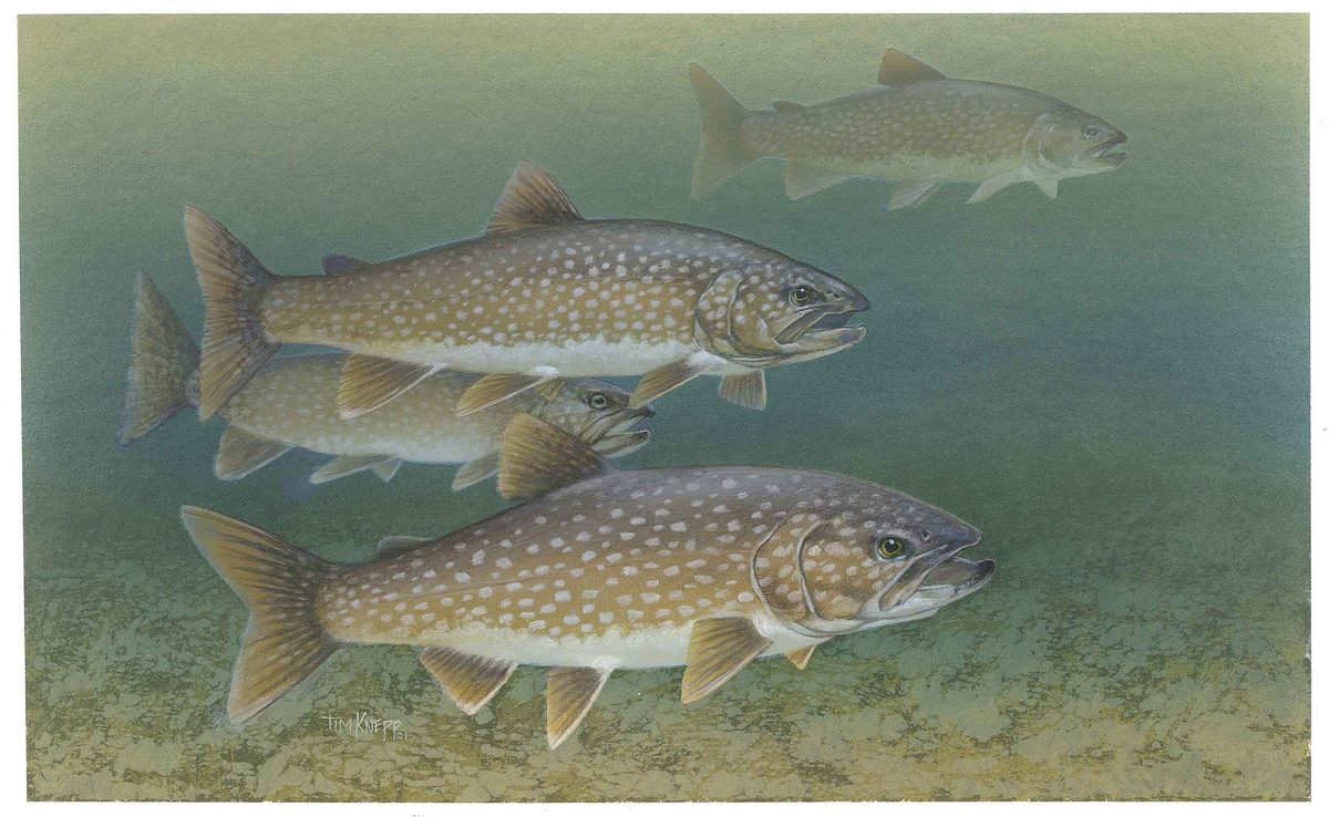
Animals around Auyuittuq National Park







Glaciers, fiords and Akshayuk Pass
Auyuittuq National Park occupies part of the Cumberland Peninsula on southeastern Baffin Island in Nunavut. Its landscape combines sprawling glaciers, ice fields, steep fiords and winding river valleys, with towering peaks above Akshayuk Pass. This 100-kilometre natural corridor is the park’s principal named option for hiking, skiing and snowshoeing. A trip here can focus on that long corridor or on a guided day outing rather than a full pass journey. Backcountry camping, climbing and mountaineering are also among the park’s activities. Choose the scale of the trip before arranging transport: a guided summer hike and an extended journey through glaciated mountain country call for different preparation. The terrain, rather than the park’s year-round opening, should guide decisions about equipment, experience and support.
Inuit history and community connections
Auyuittuq means “the land that never melts” in Inuktitut, and the park’s human history reaches back more than 3,000 years. Inuit culture and history are central to understanding this landscape, not separate from its mountains and ice. Inuit and Parks Canada work together in the park’s cooperative management. Pangnirtung and Qikiqtarjuaq are the named communities for visitor planning, with park offices, accommodation information and departures for guided spring and summer day trips. Local guides and outfitters can arrange transportation to and from the park or organize travel with a guided group. Build those conversations into the planning process, both to match an outing to current conditions and to understand visitor guidelines for a place with a long human history.
Choosing a season and preparing for the terrain
The park is open year-round, but the named guided outings have distinct seasonal settings: a spring day trip from Pangnirtung reaches the Arctic Circle, while a summer guided hike visits Ulu Peak. Akshayuk Pass offers hiking, skiing and snowshoeing, so select the travel mode around conditions rather than assuming every activity is suitable throughout the year. Before departure, check Parks Canada’s current bulletins, weather and wildlife guidance, terrain-hazard information and polar bear safety advice. Pack for the demands of Arctic mountain travel, with weather protection and equipment suited to the chosen activity. Discuss transport and the return journey with a local outfitter, and confirm applicable permit requirements with Parks Canada. For overnight plans, consult the park’s backcountry camping guidance as well as accommodation options in the gateway communities.
Route options
- Akshayuk Pass100 km
Hike, ski or snowshoe through a natural corridor beneath towering peaks in a landscape of glaciers, fiords and river valleys. Match the travel mode and scope of the journey to conditions and experience.
- Arctic Circle guided day trip
A guided spring day trip departing from Pangnirtung to the Arctic Circle.
- Ulu Peak guided hike
A guided summer day hike departing from Pangnirtung to Ulu Peak.
Sample itineraries
- Spring Arctic Circle day trip · 1 day
Join a guided spring trip from Pangnirtung to the Arctic Circle. Confirm transportation, current conditions and equipment needs with the guide before departure.
- Summer guided hike to Ulu Peak · 1 day
Take a guided summer hike from Pangnirtung to Ulu Peak. Arrange the outing and park transportation with a local guide or outfitter, and prepare for mountain weather and uneven terrain.
Seasonal conditions
Spring
Spring
Guided day trips from Pangnirtung to the Arctic Circle are a spring option. In this Arctic landscape, plan for cold conditions and confirm suitable clothing, equipment and transportation with your guide.
Summer
Summer
Guided hiking to Ulu Peak is a summer option. Glaciers, steep fiords and river valleys shape the park; summer plans still need weather protection and terrain-specific preparation.
Fall
Fall
The park is open year-round. Confirm weather, terrain conditions and transportation before committing to a fall route; year-round opening does not establish whether a particular outing is suitable.
Winter
Winter
Skiing and snowshoeing are ways to explore Akshayuk Pass. Prepare for Arctic cold and confirm snow conditions, route suitability and transportation before departure.
| Season | Window | Conditions |
|---|---|---|
| Spring | Spring | Guided day trips from Pangnirtung to the Arctic Circle are a spring option. In this Arctic landscape, plan for cold conditions and confirm suitable clothing, equipment and transportation with your guide. |
| Summer | Summer | Guided hiking to Ulu Peak is a summer option. Glaciers, steep fiords and river valleys shape the park; summer plans still need weather protection and terrain-specific preparation. |
| Fall | Fall | The park is open year-round. Confirm weather, terrain conditions and transportation before committing to a fall route; year-round opening does not establish whether a particular outing is suitable. |
| Winter | Winter | Skiing and snowshoeing are ways to explore Akshayuk Pass. Prepare for Arctic cold and confirm snow conditions, route suitability and transportation before departure. |
Permits, fees & closures
Confirm trip-specific permit requirements with Parks Canada before travel. Ask separately about requirements for research, business activities, filming, commercial photography or firearms.
Official source: Auyuittuq National Park - Parks Canada · Verified October 2, 2026
Hazards & regulations
- Polar bears: review Parks Canada's polar bear safety guidance and seek current local advice before entering the park.
- Arctic weather: carry protective layers and adjust plans to conditions rather than relying on the season alone.
- Glaciers, ice fields and steep mountain terrain: match routes to your skills and equipment, and obtain guidance for technical travel.
- River valleys: assess water conditions carefully and seek local advice before planning travel involving crossings.
What to pack for Auyuittuq National Park
- Insulating layers
- Windproof and waterproof outer layers
- Warm hat and gloves
- Footwear suited to the planned terrain
- Park maps and route information
- Navigation tools
- First-aid kit
- Emergency shelter
- Communication equipment appropriate for backcountry travel
- Hiking equipment for summer outings
- Skis or snowshoes when appropriate to the route and conditions
- Backcountry camping equipment for overnight trips
- Food and drinking-water supplies matched to the outing
Auyuittuq National Park FAQ
- Where is Auyuittuq National Park?
- The park lies on southeastern Baffin Island's Cumberland Peninsula in Nunavut, Canada. Its landscape includes glaciers, ice fields, steep fiords and winding river valleys.
- What is Akshayuk Pass?
- Akshayuk Pass is a 100-kilometre-long natural corridor overlooked by towering peaks. Hiking, skiing and snowshoeing are ways to explore it. Choose the scope of a trip with current conditions and your experience in mind.
- How can transportation and guided trips be arranged?
- Local guides and outfitters can arrange transportation to and from the park or guided group trips. Guided spring and summer day trips depart from Pangnirtung and Qikiqtarjuaq; confirm the departure point for your chosen outing.
- Is the park open year-round?
- Yes. Park office hours follow a separate schedule. Check office availability, important bulletins and transportation arrangements before travel.
- What does Auyuittuq mean?
- Auyuittuq means “the land that never melts” in Inuktitut. The park's human history extends back more than 3,000 years, and Inuit and Parks Canada work together in its management.
- Who can answer planning questions or handle emergencies?
- For planning, contact Parks Canada at 867-473-2500 in Pangnirtung, 867-927-8834 in Qikiqtarjuaq, or nunavut.info@pc.gc.ca. For emergencies within the park, call 1-780-852-3100.