



- Region
- Wisconsin
- Country
- United States
- Best for
- hiking, wildlife viewing, camping
- Best season
- Spring, Summer
- Permits
- Confirm permit requirements and activity r…
Plan with verified data
Bad Axe River State Wildlife Area trip tools
Tools for a trip here
Picked for how, when and where you're going. Free, no signup.
- Sleep System Temp CalculatorCold nights: check your bag and pad add up to a safe sleep.
- Bear Country Food StorageBear country: canister, Ursack or hang, and the local rules.
- The 10 EssentialsDay on trail: carry the ten essentials.
- Water Purification MatrixRefilling on trail: compare treatment options.
- Layering CalculatorCool temps: build a layer stack for the climb and the summit.
How to get there
The Bad Axe River watershed is located entirely within Vernon County, Wisconsin. Key access points are found near communities like Westby, Viroqua, Coon Valley, Chaseburg, Genoa, and Purdy. Approaches involve County Highway B and various local roads such as Hwy O, Hwy NN, Hwy N, S. Bad Axe Road, and Anderson Ridge Road.
- Esofea/Rentz Memorial Park
This park is centrally located between Westby, Viroqua, Coon Valley and Chaseburg, just off County Highway B in the Town of Jefferson. It provides access to the North Fork Bad Axe River.
- Esofea Road
This is a put-in point for paddling the North Fork Bad Axe River, potentially accessible via Natwick Road near Larson Lane and Lovstad Lane.
- Hwy O
This serves as a take-out point for paddling the North Fork Bad Axe River, specifically for trips starting from Duck Egg Park.
- Duck Egg Park / Irish Ridge Road
Located approximately 9 miles west of Viroqua on Irish Ridge Road, this park offers a launch point for paddling the Springville Branch, a tributary of the Bad Axe River.
- Hwy NN1st
This is a put-in option for the South Fork Bad Axe River.
- Hwy NN2nd
This can serve as an access point for the South Fork Bad Axe River.
Sources: Wikipedia · Wikivoyage · Vernon County, WI · Wisconsin River Trips. Confirm road and trailhead conditions with the managing agency before you leave.
Wisconsin · United States · Season: Fall hunting seasons
- Hunting
- Hiking
- Wildlife Viewing
- Canoeing
- Fishing
Overview
The Bad Axe River State Wildlife Area in Vernon and Crawford Counties is another excellent Driftless option. This area is characterized by steep bluffs, the winding Bad Axe River, and extensive bottomland timber mixed with upland hardwood ridges. It's a classic example of riverine Driftless habitat, providing everything a whitetail needs. Access is available from various points along the Bad Axe River and surrounding county roads. The best season is typically during the rut (mid-October to mid-November) when bucks are on the move through this varied terrain. Fitness required is moderate to high, as the river bottom can be thick and the bluffs steep. General Wisconsin hunting licenses apply. Pressure can be moderate, especially along the river corridors, but the steep uplands can hold less disturbed deer. Watch for flooding during wet periods, which can impact bottomland access.
Why it stands out
River bottom and steep bluff hunting opportunities
Diverse habitat including bottomland hardwoods and upland oaks
Water source from the Bad Axe River
Good deer densities
Can be less pressured than larger state parks
Know before you go
Potential for high water/flooding in bottomlands
Steep climbs in upland areas
Can be brushy in river bottom areas
Some areas may see moderate pressure
Planning notes
Where: Wisconsin, United States Best season: Fall hunting seasons Good for: Hiking, Wildlife Viewing, Camping Featured on: Top 10 Public-Land Bowhunting Units for Whitetails in the Driftless Area (#8) Access point: Bad Axe River, Genoa, WI 54624, USA
Check current permits, closures and fire restrictions with the managing agency before you commit to dates.
Field notes
- River bottom and steep bluff hunting opportunities
- Diverse habitat including bottomland hardwoods and upland oaks
- Water source from the Bad Axe River
- Good deer densities
- Can be less pressured than larger state parks
Where on earth
Satellite imagery flying in from a world view to Bad Axe River State Wildlife Area, United States. Use the + / − buttons, or click the map to zoom with your scroll wheel; drag to pan and pinch to zoom on touch.
Coordinates
- Decimal degrees
- 43.5203, -91.2224
- Latitude (DMS)
- 43° 31′ 12.9″ N
- Longitude (DMS)
- 91° 13′ 20.5″ W
Coordinates are an access-point reference for Bad Axe River State Wildlife Area, not a route. Carry a paper map and confirm trailhead or put-in access with the managing agency before you go.
Topic summary
The Bad Axe River State Wildlife Area in Vernon and Crawford Counties is another excellent Driftless option.
Key takeaways
- Region: Wisconsin
- Country: United States
- Best season: Fall hunting seasons
- Good for: hiking, wildlife viewing, camping
- Coordinates: 43.520, -91.222
Intended uses
- hiking
- wildlife viewing
- camping
Climate suitability
Fall hunting seasons
Keep planning
Popular pursuits at Bad Axe River State Wildlife Area
- Hunting
Seasons, tags, and the units that hold animals.
- Hiking
Day miles on marked trail, with route notes and trail links below.
- Wildlife Viewing
Best light, best season, and where animals move.
- Canoeing
Paddle routes, portages, and put-ins.
- Fishing
Resident gamefish, seasons, and the water that holds them.
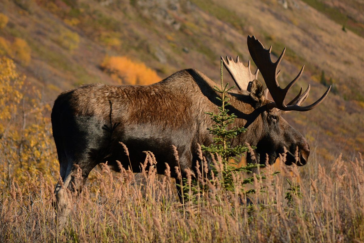
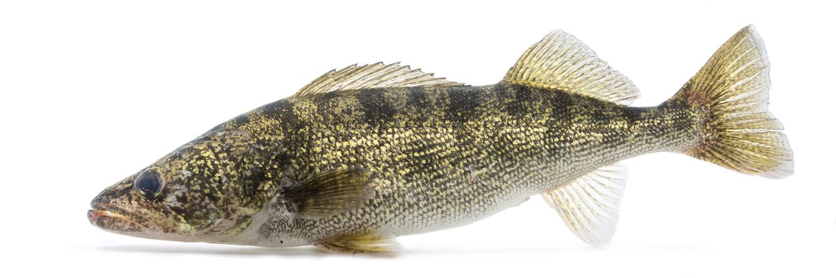
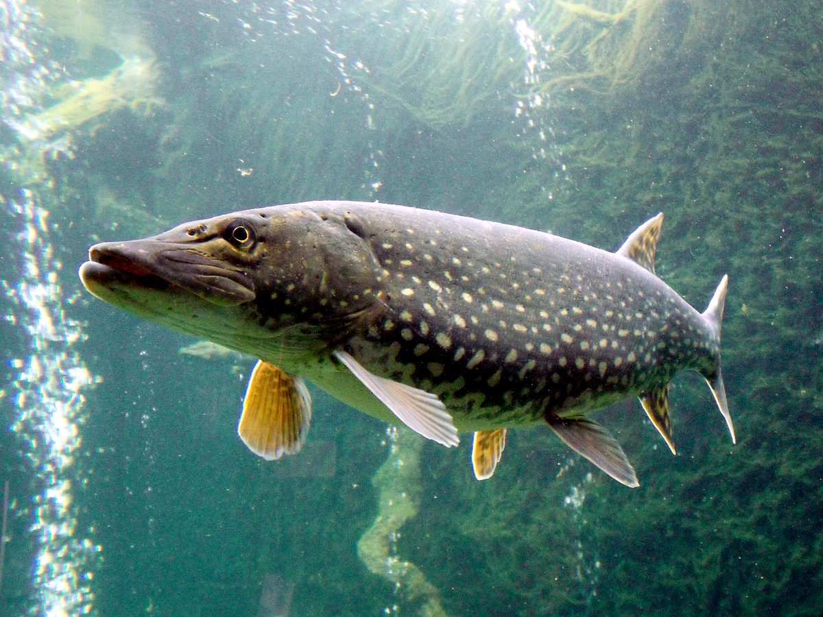
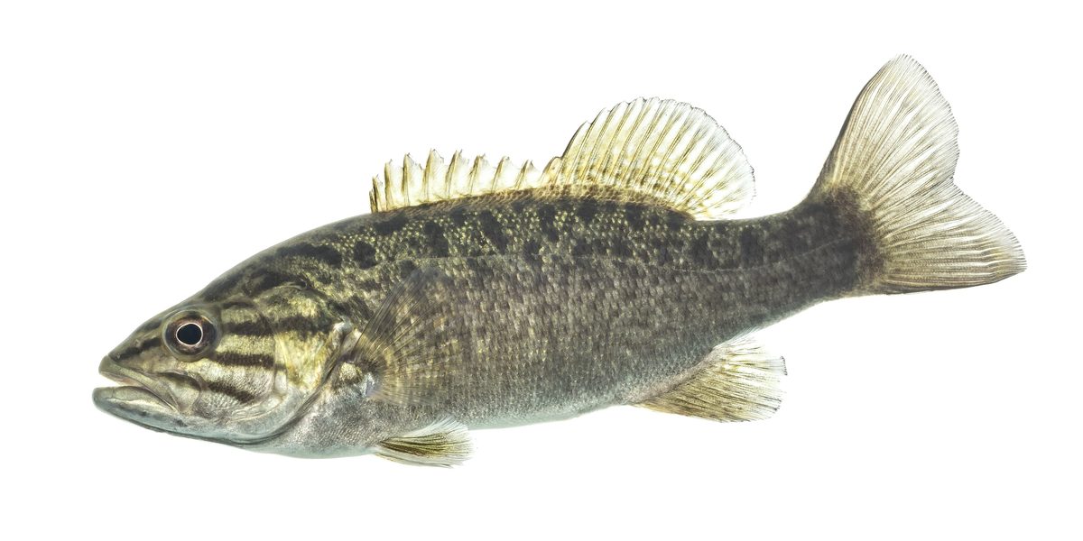
Animals around Bad Axe River State Wildlife Area

Destination and planning limits
Bad Axe River State Wildlife Area is the requested destination in Wisconsin, United States. A reliable trip plan still needs verified, property-specific information before departure. Its boundaries, landscape, public entrances, and visitor facilities are not established here, so this profile does not describe terrain or recommend activities as though they have been confirmed. In particular, the destination name alone is not enough to establish a paddling opportunity, a maintained trail system, or a place to park. Treat this as a planning checkpoint rather than a field guide. Before committing to a visit, obtain a current property map and confirm which parts of the area are open to the activity being considered.
Access needs verification
No verified entrance, parking area, road approach, or launch location can be identified for this destination here. Driving directions and travel times are therefore omitted rather than estimated. Before setting out, confirm the exact public access location and check that the approach does not depend on crossing private property. A destination pin is not a substitute for an identified entrance or a mapped public boundary. If planning to meet others, use a confirmed access location rather than the wildlife area's name alone. Ask the managing agency whether an official property map is available and whether it identifies parking and visitor access. Those details are needed before a practical arrival plan can be given.
Routes and visitor rules
No named trail, walking loop, river segment, or other route is verified for this wildlife area here. Route distances, difficulty ratings, and activity recommendations are consequently omitted. Do not assume that a wildlife area designation establishes a maintained hiking route, boat access, or permission for a particular use. Confirm the intended activity and current visitor rules with the managing agency before making detailed plans. The agency responsible for this specific property has not been verified here, so no organization is presented as its manager. A useful next step is to establish that contact, obtain the property's official visitor information, and use its mapped access and activity guidance to decide whether the destination suits the proposed outing.
Sample itineraries
- Access-verification day plan · 1 day
Before planning a visit to Bad Axe River State Wildlife Area, confirm its managing agency, boundaries, public access points, and allowed activities. Choose an outing only after those details are established; no specific route can be recommended here.
- Conditions-first day plan · 1 day
Build a flexible day outing after obtaining current site guidance. Confirm that the intended activity and access point are appropriate, check conditions before departure, and leave the route undecided until reliable local information is available.
Seasonal conditions
Spring
Not established
Site-specific spring conditions are not established. Confirm current access and ground conditions before choosing an outing.
Summer
Not established
Site-specific summer conditions are not established. Check current local guidance rather than assuming particular activities are available.
Fall
Not established
Site-specific fall conditions are not established. Confirm activity rules and access before finalizing plans.
Winter
Not established
Site-specific winter conditions are not established. Do not assume access points or routes remain usable throughout winter.
| Season | Window | Conditions |
|---|---|---|
| Spring | Not established | Site-specific spring conditions are not established. Confirm current access and ground conditions before choosing an outing. |
| Summer | Not established | Site-specific summer conditions are not established. Check current local guidance rather than assuming particular activities are available. |
| Fall | Not established | Site-specific fall conditions are not established. Confirm activity rules and access before finalizing plans. |
| Winter | Not established | Site-specific winter conditions are not established. Do not assume access points or routes remain usable throughout winter. |
Permits, fees & closures
Confirm permit requirements and activity rules with the managing agency before visiting.
Confirm current permits, fees, and closures with the managing agency before you go.
Hazards & regulations
- Public boundaries and access points are unverified here; establish both before entering the area.
- No site-specific route or hazard assessment is established here; do not treat this profile as navigation guidance.
- Water access and suitability for water-based activities are unverified; do not assume boating or other river activities are appropriate.
What to pack for Bad Axe River State Wildlife Area
- Verified property map
- Confirmed public access directions
- Managing agency contact details
- Current local weather forecast
- Current site guidance
- Confirmed rules for the intended activity
Bad Axe River State Wildlife Area FAQ
- Is there enough verified information to plan a specific route?
- No. Trails, access points, distances, and property boundaries are not established here. Obtain a current property map and managing agency guidance before selecting a route.
- Can visitors fish or boat here?
- Those activities are not confirmed for Bad Axe River State Wildlife Area. Check site-specific rules and access information before bringing fishing or boating equipment.
- When is the best time to visit?
- A destination-specific recommendation cannot be established. Choose timing after confirming seasonal access, current conditions, and whether the intended activity is allowed.
- Which wildlife species can visitors expect?
- No species are confirmed here for this wildlife area. Avoid building a wildlife-viewing trip around an unverified species list.
- Are overnight stays available?
- Camping and overnight access are not established here. Confirm whether overnight use is allowed before planning a multiday visit.