



Where on earth
Satellite imagery flying in from a world view to Bhutan Snowman Trek, Bhutan. Use the + / − buttons, or click the map to zoom with your scroll wheel; drag to pan and pinch to zoom on touch.
- Region
- Bhutan
- Biome
- Himalayan alpine (2,700–5,320 m)
- Best season
- September – October
- Difficulty
- moderate
- Backpacking
- Hiking
- Climbing
Key takeaways
- Biome: Himalayan alpine (2,700–5,320 m)
- Best season: September – October
- Difficulty: moderate
- Top activity: backpacking
Photos of Bhutan Snowman Trek
Topic summary
A 25-30 day trek across Bhutan's northern high passes — often called the world's hardest trek.
Key takeaways
- Difficulty: moderate
- Best season: September – October
Intended uses
backpacking
Climate suitability
Himalayan alpine (2,700–5,320 m)
Tools for a trip here
Picked for how, when and where you're going. Free, no signup.
- Sleep System Temp CalculatorCold nights: check your bag and pad add up to a safe sleep.
- Base Weight CalculatorEvery ounce is carried — total your kit and find your base weight.
- Pack Volume SizerSize the pack for your trip length and season.
- Water Purification MatrixTreat water from streams and lakes on trail.
- Layering CalculatorCold-season miles: layer for climbs and camp.
Plan with verified data
Bhutan Snowman Trek trip tools
How to get there
Plan arrival and onward transport around the specific itinerary. Laya marks the trek’s broader extension into northern Bhutan, while Lunana is also described as a starting area for travel higher toward Gangkar Puensum. The onward route leads to Trongsa and then Bumthang District. Confirm where the walking actually begins and ends before arranging transfers.
- Laya
Named as the point from which the Snowman extends into the high Bhutanese Himalayas. Confirm its role in the chosen itinerary rather than assuming a road-accessible trailhead.
- Lunana
A remote area identified with the beginning of the route higher toward Gangkar Puensum. Arrival arrangements require itinerary-specific confirmation.
- Trongsa
Named as an ending point before onward travel toward Bumthang District. Confirm the walking endpoint and onward transport separately.
Sources: Wikipedia · Wikivoyage. Confirm road and trailhead conditions with the managing agency before you leave.
Popular pursuits at Bhutan Snowman Trek
- Backpacking
Multi-day travel with everything on your back — see the packing blocks below.
- Hiking
Day miles on marked trail, with route notes and trail links below.
- Climbing
Rock and alpine lines with approach beta.
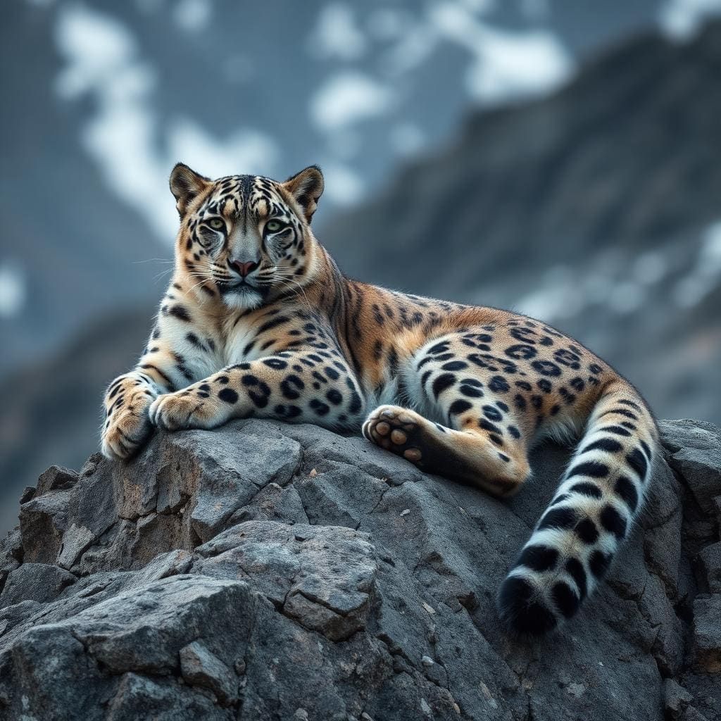
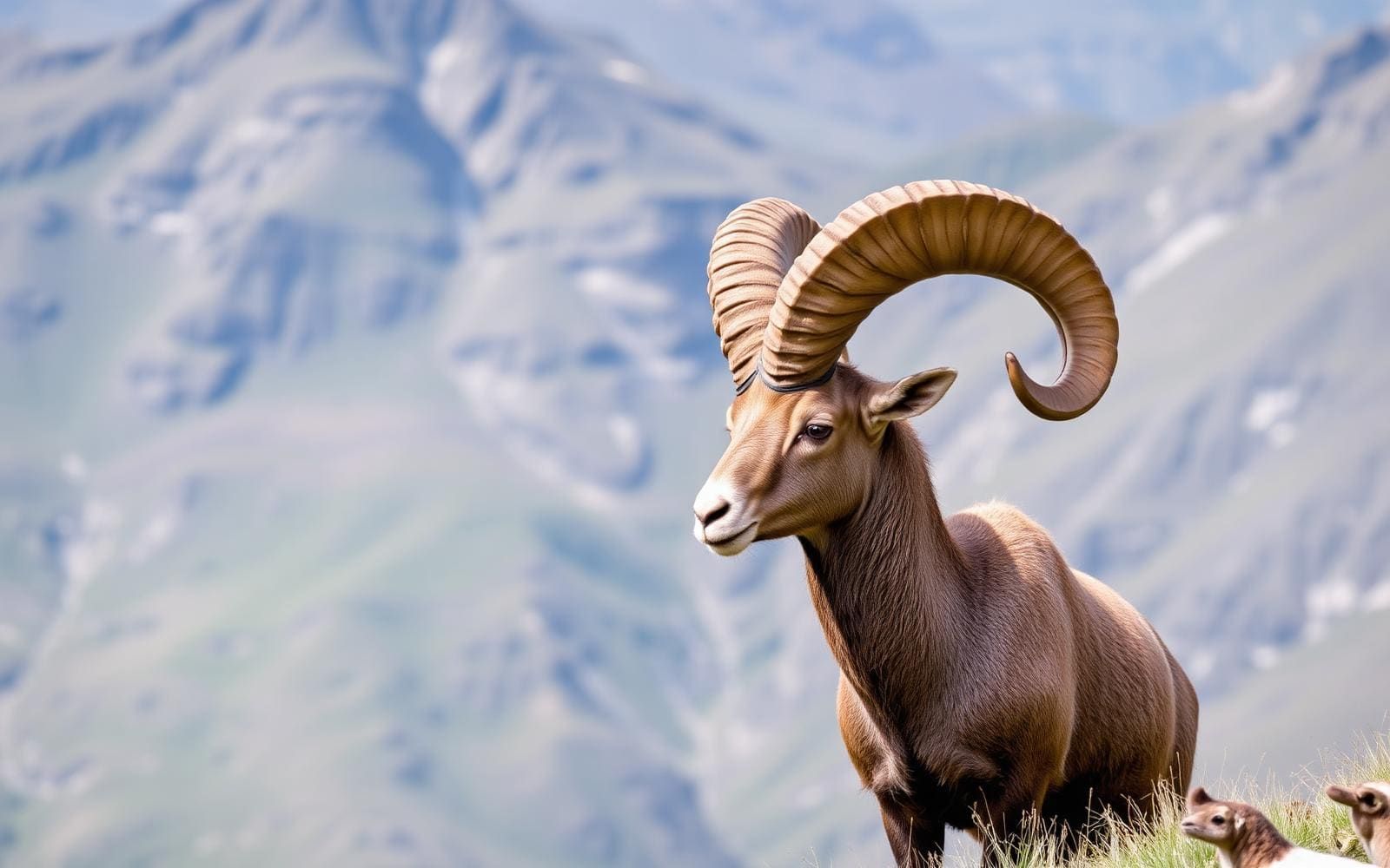
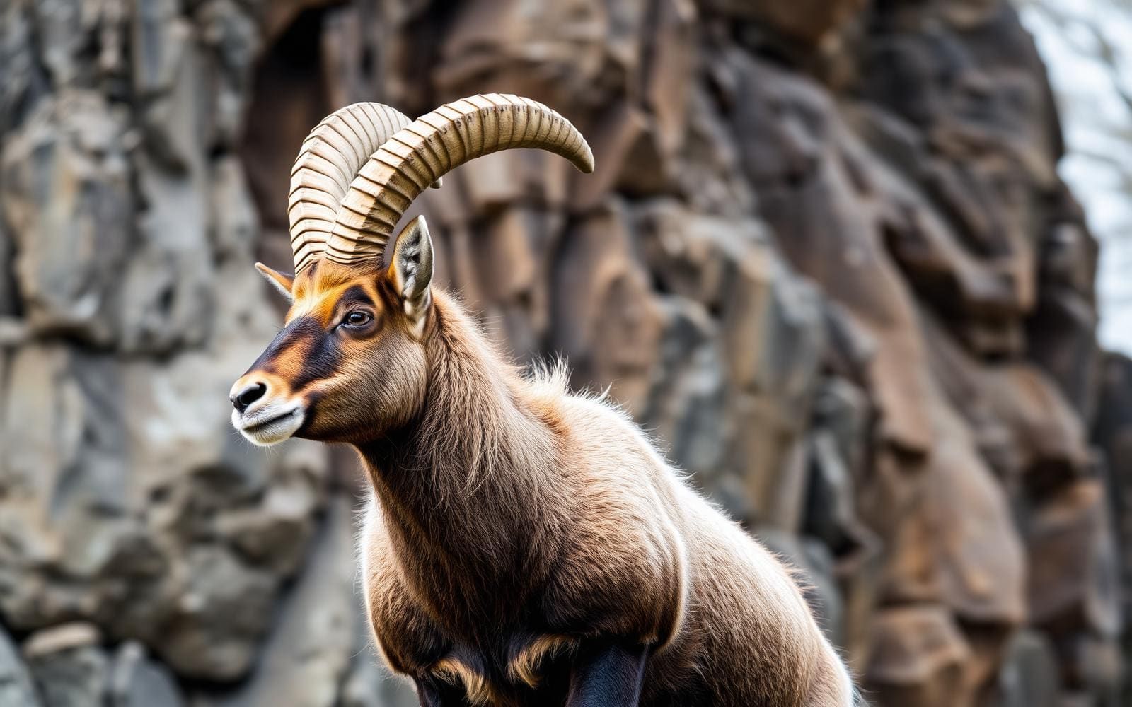
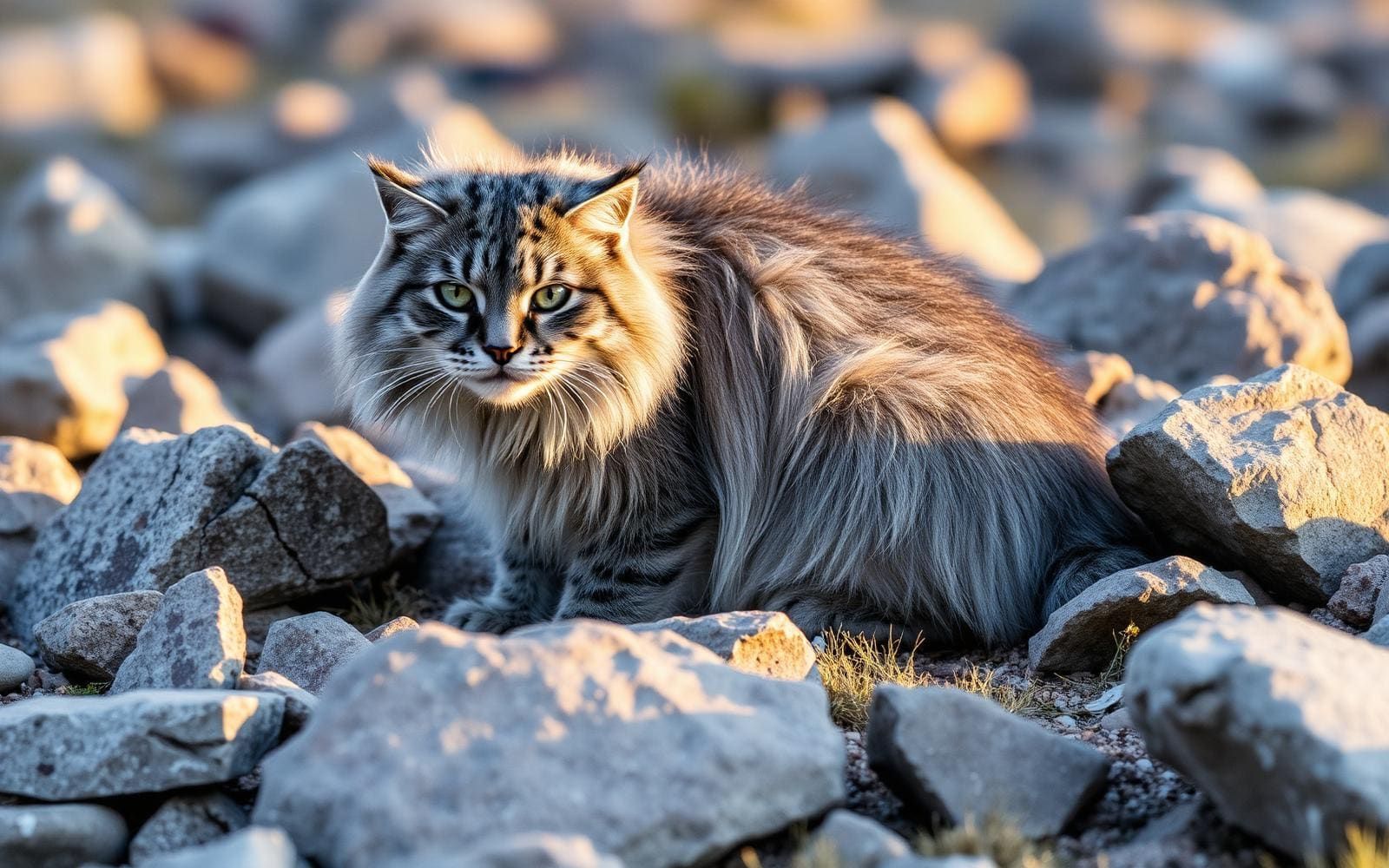
Animals around Bhutan Snowman Trek
Maps, GPS & compass for this trip
Carry a waterproof paper map and a compass you can steer by, and treat the GPS as the backup — not the other way round. Buying links go to Amazon; Wild10 earns a commission at no cost to you.
Waterproof topo maps
- Waterproof topographic map — Bhutan Snowman TrekAmazon search for waterproof, tear-resistant topo maps covering this area.
- National Geographic Trails IllustratedThe waterproof Trails Illustrated series — check for a sheet covering this area.
- Waterproof map case & compass lanyardKeep a paper map readable in rain, spray and a swamped boat.
Fishing at Bhutan Snowman Trek
Planning to fish Bhutan Snowman Trek? Fishing licences, open seasons and catch limits in Bhutan are set by the local wildlife authority and change every year — check the official source before you cast a line.
Do I need a fishing licence at Bhutan Snowman Trek?
- A Bhutan fishing licence is normally required for anyone over the local youth age.
- Read the current Bhutan fishing regulations for special waters, barbless-hook or catch-and-release rules.
- Clean, drain and dry boats and gear between waters to stop invasive species.
We don't have a verified licensing link on file for Bhutan yet — contact the park or land manager listed on this page for current hunting and fishing rules.
Hunting near Bhutan Snowman Trek
Thinking about hunting Bhutan Snowman Trek? Hunting seasons, tags and draws in Bhutan are set by the wildlife authority each year. Confirm the rules for your species and unit before you go.
Is hunting allowed at Bhutan Snowman Trek?
- Confirm the land around Bhutan Snowman Trek is open to hunting and which management unit it falls in.
What do I need to hunt in Bhutan?
- A Bhutan hunting licence — most jurisdictions also require hunter education certification.
- Species tags or draw results for big game such as deer, elk, moose or bear where they occur.
- Knowledge of firearm and bow transport rules, which differ by land type and border crossing.
We don't have a verified licensing link on file for Bhutan yet — contact the park or land manager listed on this page for current hunting and fishing rules.
A long traverse of northern Bhutan
The Snowman Trek crosses the high country of northern Bhutan on paths created by yak herders. Described as Bhutan’s longest hiking trail, it extends from Laya into the Bhutanese Himalayas, with its remote mountain journey taking in Lunana and the country around Gangkar Puensum. The route is associated with an onward finish through Trongsa toward Bumthang District. Its defining features are sustained altitude, rough paths and a long commitment rather than any single summit or viewpoint. Eleven mountain passes, lakes and remote villages shape the journey. Treat the Snowman as a demanding traverse whose exact start, finish and sequence need to be settled before planning transport, rather than assuming that the name identifies one straightforward trailhead-to-trailhead itinerary.
Altitude, weather and the commitment required
The combination of altitude, duration and hard weather makes the Snowman an exceptionally demanding trek. The route reaches elevations around 5,000 metres, and its eleven passes mean that high mountain travel is a repeated part of the journey rather than a brief excursion. Many trekkers do not complete it. Preparation should therefore focus on sustained effort, acclimatization and the ability to change plans when conditions or health deteriorate. Allow room in the itinerary for a slower pace, and do not treat physical fitness as protection against altitude illness. Clothing and shelter need to suit cold, exposed mountain conditions. Rough paths and remote settlements also call for a realistic discussion of support and emergency arrangements before departure.
Mountain scenery and a lived-in landscape
The Snowman passes through a landscape of lakes, remote villages and some of Bhutan’s highest mountains. Mountain views along the route include Jomolhari, Jichu Drake, Gangkar Puensum, Masangang and Tiger Mountain. These are landmarks of the wider journey, not a promise that every peak will be visible in mountain weather. The trail’s origins among yak herders are a reminder that this is a working and inhabited landscape, not simply a wilderness route. Bhutan’s strong cultural traditions and the influence of Vajrayana Buddhism provide important context for visiting its communities; approach village encounters with respect and ask before photographing people. Snow leopards have been reported along the way, but sightings should not be an expectation or a reason to approach wildlife.
Route options
- Laya into the northern Bhutanese HimalayasExceptionally demanding because of altitude, duration and hard weather.
The broader Snowman traverse extends from Laya into northern Bhutan’s high mountains, linking rough mountain paths, remote villages, lakes and eleven passes. This is a long, high-altitude undertaking rather than a short hiking option.
- Lunana toward Gangkar Puensum, Trongsa and BumthangDemanding high-altitude travel on rough Himalayan paths, reaching around 5,000 metres.
The described route leads from Lunana higher into the Gangkar Puensum area, then ends in Trongsa with onward travel toward Bumthang District. This describes the route’s progression, not a verified shorter alternative; confirm the detailed itinerary before committing.
Sample itineraries
- Pre-trek route-planning day · 1 day
Use a planning day to review the northern Bhutan route, including Laya, Lunana and the high country near Gangkar Puensum. Confirm the intended finish around Trongsa or Bumthang and the time needed with a local trekking provider. This is preparation, not a one-day trekking itinerary.
- Pre-trek readiness day · 1 day
Dedicate a preparation day to checking equipment, acclimatization plans and contingency arrangements for remote travel, eleven mountain passes and elevations reaching 5,000 metres. The Snowman Trek is a prolonged undertaking; this planning outline does not specify its trekking duration.
Seasonal conditions
Spring
Confirm suitable timing locally
Do not assume spring makes the high passes accessible. Plan around the trek’s altitude and difficult weather, and obtain current route conditions before committing.
Summer
Confirm suitable timing locally
Summer should not be treated as a guarantee of manageable mountain weather. Check conditions across the high passes and allow flexibility for a long, remote trek.
Fall
Confirm suitable timing locally
Confirm a suitable departure period rather than assuming fall offers a dependable weather window. Altitude, rough terrain and prolonged exposure remain central planning concerns.
Winter
Confirm feasibility locally
Seek specific advice on whether the high-altitude route is feasible. Prepare for cold exposure, but do not assume any pass is open or that the full trek can be completed.
| Season | Window | Conditions |
|---|---|---|
| Spring | Confirm suitable timing locally | Do not assume spring makes the high passes accessible. Plan around the trek’s altitude and difficult weather, and obtain current route conditions before committing. |
| Summer | Confirm suitable timing locally | Summer should not be treated as a guarantee of manageable mountain weather. Check conditions across the high passes and allow flexibility for a long, remote trek. |
| Fall | Confirm suitable timing locally | Confirm a suitable departure period rather than assuming fall offers a dependable weather window. Altitude, rough terrain and prolonged exposure remain central planning concerns. |
| Winter | Confirm feasibility locally | Seek specific advice on whether the high-altitude route is feasible. Prepare for cold exposure, but do not assume any pass is open or that the full trek can be completed. |
Permits, fees & closures
Confirm current permit and entry requirements with the managing agency before booking.
Confirm current permits, fees, and closures with the managing agency before you go.
Hazards & regulations
- Elevations reaching 5,000 metres create a serious altitude-illness concern. Build an acclimatization plan and respond promptly to symptoms.
- Difficult mountain weather can compromise progress and increase exposure on the high passes.
- Rough Himalayan paths demand secure footing and sustained physical effort.
- The route’s length and eleven mountain passes make cumulative fatigue a major consideration.
- Remote terrain makes self-sufficiency and contingency planning important. Completion should never take priority over a safe decision to turn back.
What to pack for Bhutan Snowman Trek
- Insulating layers
- Weatherproof outer layers
- Warm hat and gloves
- Sleep system suited to expected mountain conditions
- Supportive, broken-in footwear
- Trekking poles
- Spare socks
- Blister-care supplies
- First-aid kit and personal medication
- Water-treatment equipment
- Navigation equipment
- Emergency communication equipment
- Contingency food
Wildlife you may see
- Snow leopards have been reported along the route, though sightings are not assured. Keep your distance from wildlife and never approach or feed it.
Bhutan Snowman Trek FAQ
- Where does the Snowman Trek travel?
- It crosses northern Bhutan’s high Himalayas, with Laya, Lunana and the country near Gangkar Puensum associated with the route. Trongsa and Bumthang are described as finishing areas. Confirm the exact start, finish and route before making travel arrangements.
- How difficult is it?
- This is an exceptionally demanding trek because of its duration, difficult weather and altitude. Rough paths and eleven mountain passes add to the challenge, and many trekkers do not complete the route.
- How high does the route go?
- The route reaches elevations of about 5,000 metres. Fitness alone does not remove altitude risk; acclimatization and a willingness to change plans are essential.
- What does the landscape include?
- The trek passes remote villages and lakes and crosses eleven mountain passes. Mountain views include Jomolhari, Jichu Drake, Gangkar Puensum, Masangang and Tiger Mountain.
- How many days should be allowed?
- A reliable full-route duration cannot be specified here. Confirm the exact itinerary, acclimatization schedule and contingency days with a local trekking provider. The one-day outlines above are preparation activities, not estimates for completing the trek.
- What cultural context matters?
- Bhutan’s culture is strongly shaped by Vajrayana Buddhism. The trek also follows a landscape historically travelled by yak herders. Treat village life and religious traditions respectfully, and ask before photographing people.