



- Region
- Alaska, USA
- Best season
- Spring, Summer
- Permits
- Confirm permits, access requirements and a…
Plan with verified data
Bristol Bay trip tools
Tools for a trip here
Picked for how, when and where you're going. Free, no signup.
Photos of Bristol Bay
How to get there
Use coastal Naknek and inland King Salmon as geographic anchors when arranging travel. Confirm transportation to the chosen community and onward access to the specific outing separately. For Katmai National Park & Preserve questions, the National Park Service contact in King Salmon is 907-246-3305.
- Naknek
Coastal community and seat of Bristol Bay Borough. A geographic planning anchor, not a confirmed trailhead or public launch.
- King Salmon
Inland community within Bristol Bay Borough and the location of a Katmai National Park & Preserve contact office. Confirm activity-specific access before using it as a starting point.
Sources: nps.gov · Wikipedia · Wikivoyage. Confirm road and trailhead conditions with the managing agency before you leave.
Alaska, USA · Season: Season 12
- Fishing
- Winter Camping
- Skiing
- Sea Kayaking
- Beachcombing
- Wildlife Viewing
The country
Bristol Bay is where the Alaskan tundra meets the Bering Sea. Rivers braid through treeless flats down to a shallow, cold, hyper-productive bay. Firewood is scarce and often driftwood-only; food is not — the salmon runs here are among the largest on Earth.
Why the show came here
It flipped the classic Alone equation: food-rich, wood-poor. Building a real shelter and keeping a fire alive from tundra fuels became the harder problem than eating.
Planner-relevant notes
Design around driftwood: cache what you find, and think in terms of fuel budgets, not surplus. Coastal brown bears are common and habituated to salmon streams; camp discipline is life-critical.
Top experiences
The world's biggest sockeye salmon run — 60+ million fish arrive each June–July. Fly-out fishing from Iliamna or King Salmon puts you on brown bears and rainbow trout. Katmai's Brooks Falls (below the bay) is the definitive bear-viewing platform.
Field notes
- Preserve salmon early (smoke or dry) — the run window is brief.
- A stone-lined fire pit conserves fuel dramatically in wind.
- Never wade a salmon river in bear country without a clean sightline to your camp.
- This is the fishery the proposed Pebble Mine would sit on top of — a live conservation front.
- Weather grounds bush planes for 3+ days at a time; add float schedule.
Where on earth
Satellite imagery flying in from a world view to Bristol Bay, Alaska, USA. Use the + / − buttons, or click the map to zoom with your scroll wheel; drag to pan and pinch to zoom on touch.
Coordinates
- Decimal degrees
- 58.7000, -157.0000
- Latitude (DMS)
- 58° 42′ 0.0″ N
- Longitude (DMS)
- 157° 0′ 0.0″ W
Coordinates are an access-point reference for Bristol Bay, not a route. Carry a paper map and confirm trailhead or put-in access with the managing agency before you go.
Topic summary
Alaskan tundra-and-sea country — salmon-choked rivers, treeless ridges, and grizzlies you have to plan around, not away from.
Key takeaways
- Region: Alaska, USA
- Best season: Season 12
- Coordinates: 58.700, -157.000
Climate suitability
Season 12
Keep planning
Popular pursuits at Bristol Bay
- Fishing
Resident gamefish, seasons, and the water that holds them.
- Sea Kayaking
Coastal crossings, tides, and protected camps.
- Beachcombing
Tide-line walking between camps.
- Wildlife Viewing
Best light, best season, and where animals move.
- Winter Camping
Cold-season travel and camp craft; layering matters more than mileage.
Animals around Bristol Bay





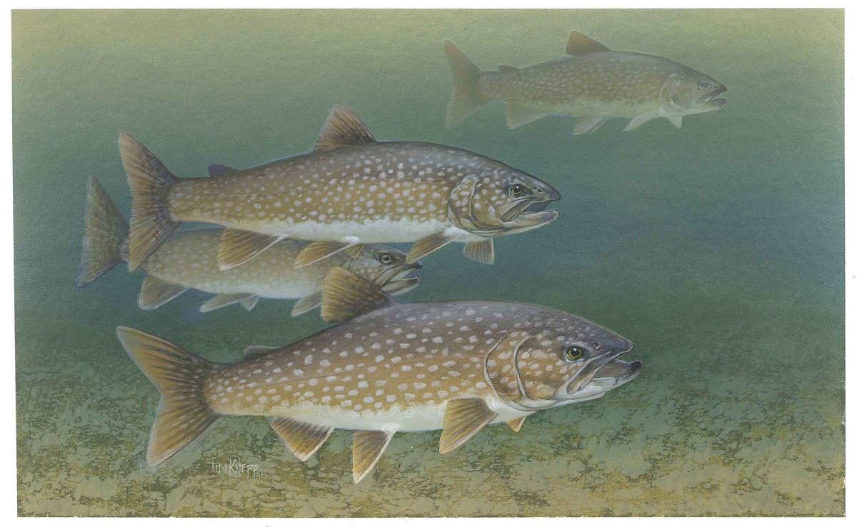


Bristol Bay and the borough around Naknek
Bristol Bay is the coastal setting for Bristol Bay Borough in Alaska. For trip planning, distinguish the bay from the borough: the borough covers a small area around coastal Naknek and inland King Salmon, rather than serving as a description of the entire bay region. Naknek is the borough seat, making it a useful geographic starting point when sorting out local place names. The borough became Alaska’s first borough when it incorporated in 1962. Its geography gives this profile two clear anchors—Naknek on the coast and King Salmon inland. Build a visit around a specific destination rather than treating “Bristol Bay” as a single trailhead, town, or managed recreation site with one set of access arrangements.
Two communities to organize planning around
Naknek and King Salmon provide the clearest local framework for narrowing a Bristol Bay itinerary. Naknek places the focus on the coast; King Salmon provides an inland point of reference. Their administrative roles can be confusing: Naknek is the seat of Bristol Bay Borough, while King Salmon serves as the seat of the neighboring Lake and Peninsula Borough despite its location within Bristol Bay Borough. Neither role establishes a public launch, a trailhead, or a transport connection. Use the community names when asking about the exact location and access arrangements for an outing. Before committing to a plan, establish where the activity begins, how that starting point is reached, and whether access crosses land with separate management or permission requirements.
Keep outdoor plans tied to a specific site
A Bristol Bay trip needs more precise planning than a regional name alone can support. Decide whether the intended outing is coastal or inland, then confirm the actual access point, travel arrangements, and conditions for that site. Do not assume that a community name identifies a maintained outdoor route or that a coastal location has a public boat launch. Katmai National Park & Preserve has a National Park Service contact address in King Salmon, but that does not make the agency the manager of Bristol Bay as a whole. Direct park-specific questions to that office and confirm the responsible manager for other destinations. Check permission requirements with the relevant managing agency before setting out; route suitability and equipment choices should follow the confirmed activity and location.
Route options
- Naknek coastal planning area
Focus planning on Naknek’s coastal setting. This is an area to investigate, not a documented walking, paddling, or driving route; confirm an actual route and lawful access locally.
- King Salmon inland planning area
Use King Salmon as the inland focus for further itinerary planning. No specific outdoor route is established here; obtain site-level directions and access guidance before choosing an outing.
Sample itineraries
- Naknek coastal orientation · 1 day
Focus a short visit on Naknek, the Bristol Bay Borough seat on the coast. Confirm public shoreline access and local conditions before choosing an outdoor stop. Keep the day flexible rather than assuming a marked coastal route.
- Naknek and King Salmon · 2 days
Plan one day around coastal Naknek and another around inland King Salmon. Arrange transportation and confirm access before committing to this two-community outline; it is not a verified walking or paddling route.
Seasonal conditions
Spring
Confirm locally before departure
Check current weather, shoreline conditions and available transportation before setting outdoor plans. Do not assume coastal access is suitable simply because the season has changed.
Summer
Confirm locally before departure
Plan around the actual forecast and confirmed access. For time near the coast at Naknek, carry weather protection and establish a safe turnaround point.
Fall
Confirm locally before departure
Recheck weather and transportation arrangements close to departure. Keep outdoor plans flexible and confirm local conditions before spending time along the shore.
Winter
Confirm locally before departure
Ask locally about current ground and water conditions before choosing an outing. Do not assume the shoreline or any frozen surface provides a safe travel route.
| Season | Window | Conditions |
|---|---|---|
| Spring | Confirm locally before departure | Check current weather, shoreline conditions and available transportation before setting outdoor plans. Do not assume coastal access is suitable simply because the season has changed. |
| Summer | Confirm locally before departure | Plan around the actual forecast and confirmed access. For time near the coast at Naknek, carry weather protection and establish a safe turnaround point. |
| Fall | Confirm locally before departure | Recheck weather and transportation arrangements close to departure. Keep outdoor plans flexible and confirm local conditions before spending time along the shore. |
| Winter | Confirm locally before departure | Ask locally about current ground and water conditions before choosing an outing. Do not assume the shoreline or any frozen surface provides a safe travel route. |
Permits, fees & closures
Confirm permits, access requirements and any booking arrangements with the managing agency for the specific site and activity.
Official source: A Visit to Bristol Bay - Katmai Terrane - National Park Service · Verified September 18, 2026
Hazards & regulations
- Coastal water exposure: keep a safe margin from the water and confirm shoreline conditions before approaching it.
- Weather exposure: check the forecast and carry protective layers for outdoor stops.
- Unverified access: confirm public access and route suitability rather than treating the coastline as an established trail.
What to pack for Bristol Bay
- Weatherproof outer layer
- Insulating layers
- Footwear suited to confirmed ground conditions
- Drinking water
- Food
- Basic first-aid kit
- Charged communication device
- Local map
- Confirmed transportation details
- Access information for planned stops
Bristol Bay FAQ
- Where should a short Bristol Bay visit focus?
- Naknek and King Salmon offer a geographically focused outline within Bristol Bay Borough. Naknek is on the coast; King Salmon is inland. Confirm transportation, services and access before building a detailed schedule.
- Is Bristol Bay Borough the same as the whole Bristol Bay area?
- No. The borough is a small administrative area on Bristol Bay, consisting largely of land around Naknek and King Salmon. Do not treat a borough-focused plan as coverage of the entire bay.
- What is the borough seat?
- Naknek is the seat of Bristol Bay Borough. King Salmon, although within Bristol Bay Borough, serves as the seat of neighboring Lake and Peninsula Borough.
- Are these itineraries established outdoor routes?
- No. They are suggested community-based planning outlines. Confirm individual access points, transportation and suitable outdoor activities locally before departure.
- Who can answer questions about a Katmai visit?
- For questions concerning Katmai National Park & Preserve, contact the National Park Service at 907 246-3305. For other Bristol Bay sites, identify the responsible managing agency before planning access.