


Where on earth
Satellite imagery flying in from a world view to El Chaltén — Fitz Roy Range, Worldwide. Use the + / − buttons, or click the map to zoom with your scroll wheel; drag to pan and pinch to zoom on touch.
- Region
- Argentina
- Country
- Worldwide
- Biome
- Patagonian granite (600–3,400 m)
- Best season
- November – March
- Difficulty
- moderate
- Backpacking
- Hiking
- Climbing
Key takeaways
- Biome: Patagonian granite (600–3,400 m)
- Best season: November – March
- Difficulty: moderate
- Top activity: backpacking
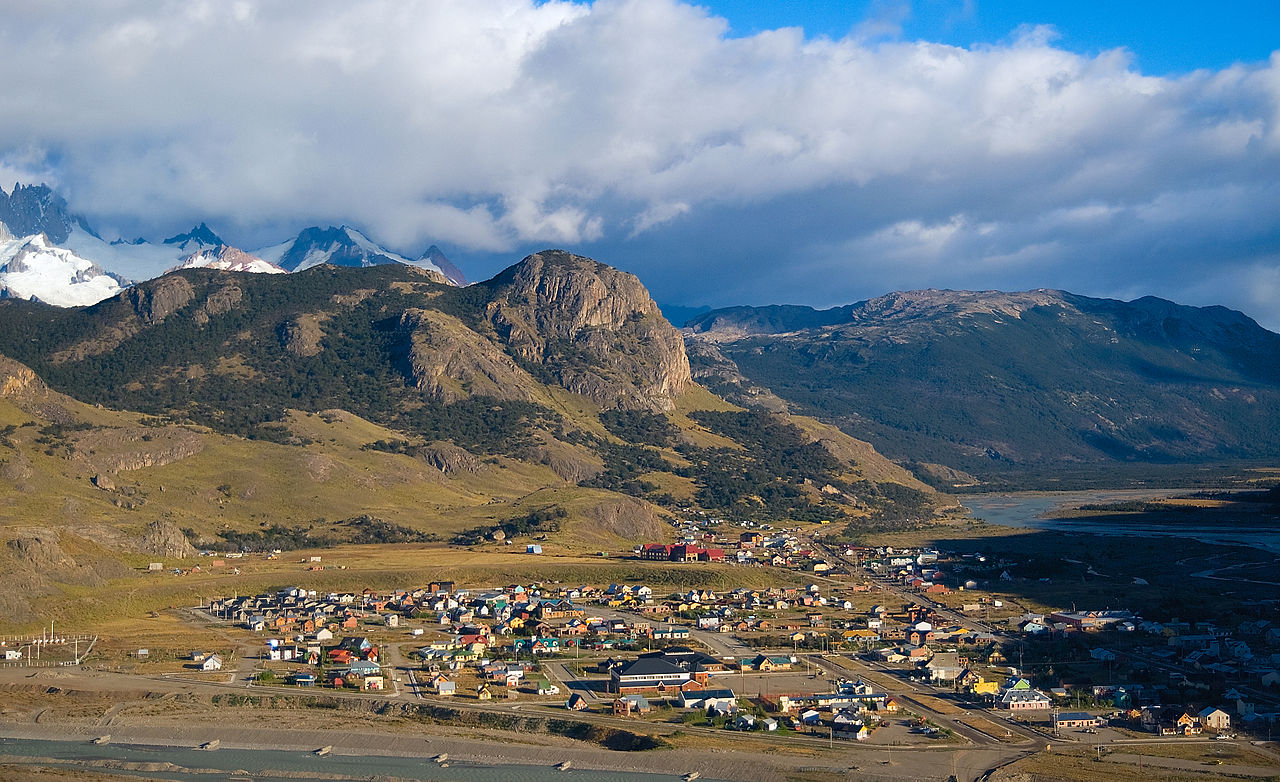
Photos of El Chaltén — Fitz Roy Range
Topic summary
Fitz Roy, Torre, and Poincenot — the world's finest alpine granite towers.
Key takeaways
- Difficulty: moderate
- Best season: November – March
Intended uses
backpacking
Climate suitability
Patagonian granite (600–3,400 m)
Tools for a trip here
Picked for how, when and where you're going. Free, no signup.
- Sleep System Temp CalculatorCold nights: check your bag and pad add up to a safe sleep.
- Base Weight CalculatorEvery ounce is carried — total your kit and find your base weight.
- Pack Volume SizerSize the pack for your trip length and season.
- Water Purification MatrixTreat water from streams and lakes on trail.
- Layering CalculatorCold-season miles: layer for climbs and camp.
Plan with verified data
El Chaltén — Fitz Roy Range trip tools
How to get there
El Chaltén — Fitz Roy Range is in Argentina, Worldwide. Its center point is -49.2800, -73.0500. Use these links for live turn-by-turn directions from where you are, then confirm road, trailhead and access conditions with the managing agency before you leave.
Popular pursuits at El Chaltén — Fitz Roy Range
- Backpacking
Multi-day travel with everything on your back — see the packing blocks below.
- Hiking
Day miles on marked trail, with route notes and trail links below.
- Climbing
Rock and alpine lines with approach beta.
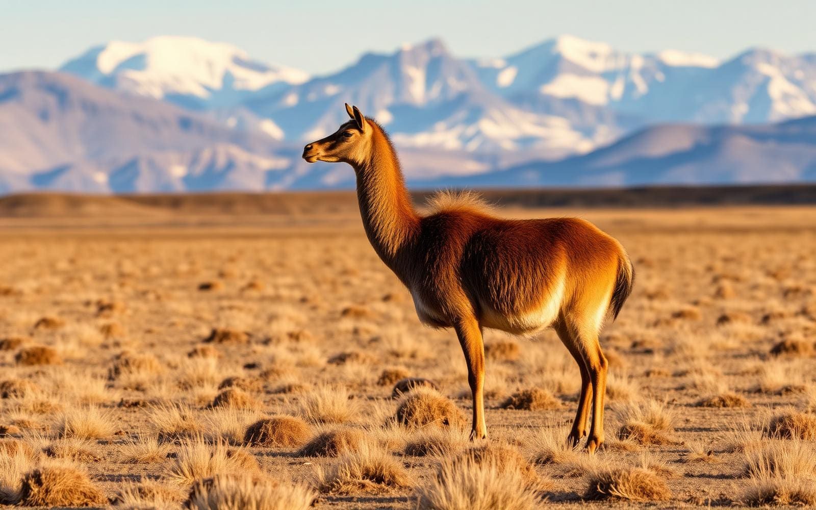
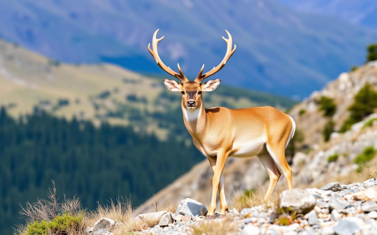
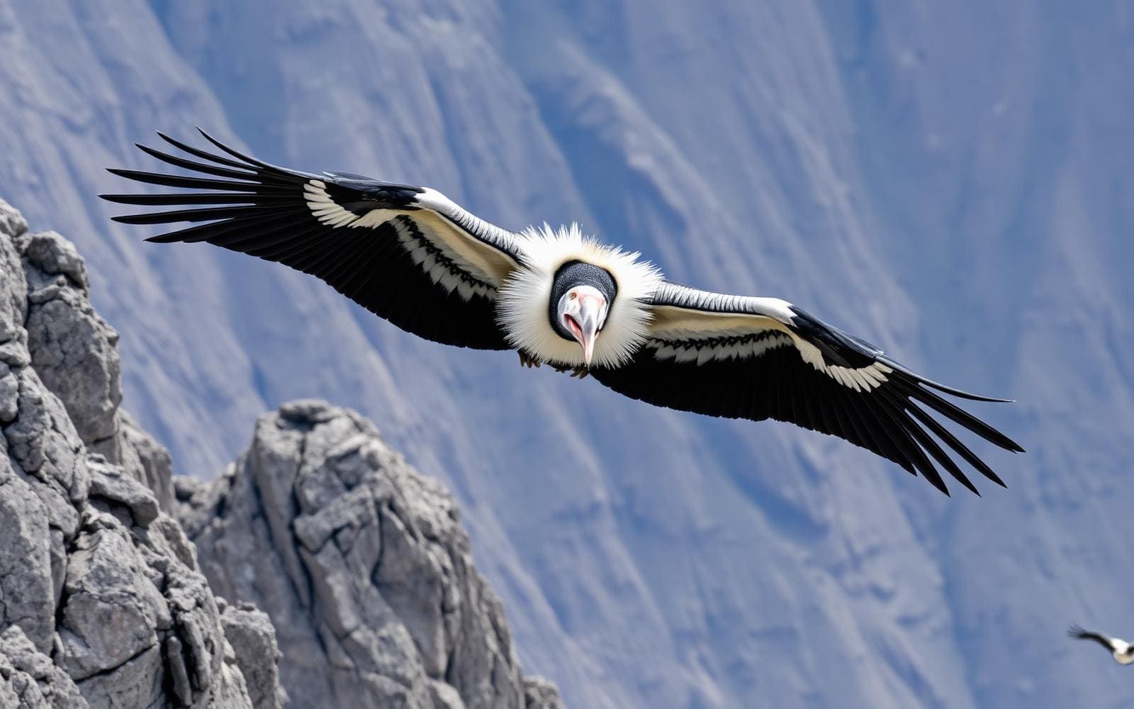
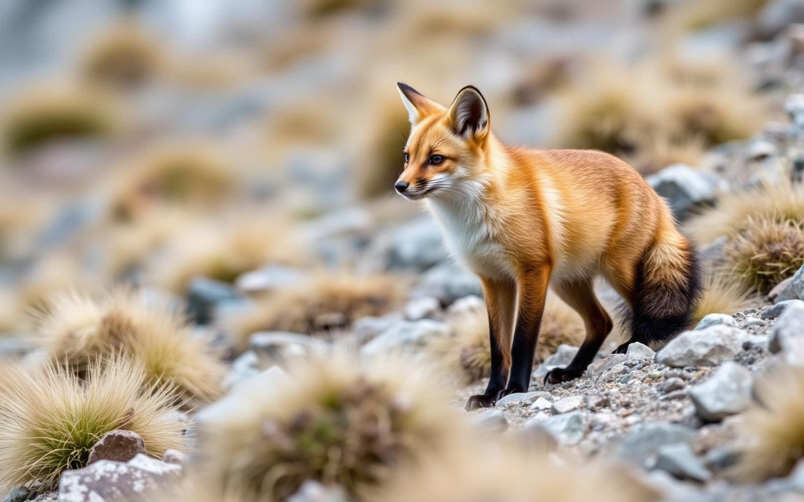
Animals around El Chaltén — Fitz Roy Range

Maps, GPS & compass for this trip
Carry a waterproof paper map and a compass you can steer by, and treat the GPS as the backup — not the other way round. Buying links go to Amazon; Wild10 earns a commission at no cost to you.
Waterproof topo maps
- Waterproof topographic map — El Chaltén — Fitz Roy RangeAmazon search for waterproof, tear-resistant topo maps covering this area.
- National Geographic Trails IllustratedThe waterproof Trails Illustrated series — check for a sheet covering this area.
- Waterproof map case & compass lanyardKeep a paper map readable in rain, spray and a swamped boat.
Fishing at El Chaltén — Fitz Roy Range
Planning to fish El Chaltén — Fitz Roy Range, Argentina? Fishing licences, open seasons and catch limits in Argentina are set by the local wildlife authority and change every year — check the official source before you cast a line.
Do I need a fishing licence at El Chaltén — Fitz Roy Range?
- A Argentina fishing licence is normally required for anyone over the local youth age.
- Read the current Argentina fishing regulations for special waters, barbless-hook or catch-and-release rules.
- Clean, drain and dry boats and gear between waters to stop invasive species.
We don't have a verified licensing link on file for Argentina yet — contact the park or land manager listed on this page for current hunting and fishing rules.
Hunting near El Chaltén — Fitz Roy Range
Thinking about hunting El Chaltén — Fitz Roy Range, Argentina? Hunting seasons, tags and draws in Argentina are set by the wildlife authority each year. Confirm the rules for your species and unit before you go.
Is hunting allowed at El Chaltén — Fitz Roy Range?
- Confirm the land around El Chaltén — Fitz Roy Range is open to hunting and which management unit it falls in.
What do I need to hunt in Argentina?
- A Argentina hunting licence — most jurisdictions also require hunter education certification.
- Species tags or draw results for big game such as deer, elk, moose or bear where they occur.
- Knowledge of firearm and bow transport rules, which differ by land type and border crossing.
We don't have a verified licensing link on file for Argentina yet — contact the park or land manager listed on this page for current hunting and fishing rules.
Regional setting: Argentine Patagonia
An El Chaltén–Fitz Roy trip belongs in the broader setting of Argentine Patagonia, where Santa Cruz Province occupies the southern part of the country. Santa Cruz borders Chile to the west and south, Chubut Province to the north, and the Atlantic Ocean to the east. It is Argentina’s second-largest province by area and the least densely populated province on the mainland. That regional scale matters when planning an outdoor journey: a province-wide description is not enough to establish a trailhead, road connection, or walking itinerary. Keep the mountain portion of the trip distinct from wider travel through Santa Cruz, and confirm local access before fixing transport plans. The useful starting point is the Patagonian setting, rather than an assumed route into the range.
Mountains, lakes, and an extensive ice cap
Los Glaciares National Park provides important landscape context for this part of Argentine Patagonia. A UNESCO World Heritage site and Argentina’s second-largest national park, it covers more than 4,000 square kilometres of mountains, glaciers, lakes, and wildlife habitat. Its giant ice cap feeds more than 40 glaciers, and roughly one-third of the park is covered by ice. These are park-wide characteristics, not a description of every walk near El Chaltén. For trip planning, distinguish a mountain or lake outing from travel onto glacial terrain; the presence of ice in the wider landscape does not establish a suitable walking route. Choose an itinerary using confirmed local information about terrain and access, rather than treating the park’s overall geography as a trail guide.
Planning within the limits of a regional overview
Plan this destination as a mountain trip, while leaving route-specific decisions open until local details are confirmed. The regional landscape includes substantial ice, lakes, and mountainous terrain, so clothing for changing weather, appropriate footwear, and a conservative turnaround plan are sensible starting points. Match equipment and ambitions to the actual outing rather than to the destination name alone. Before setting out, confirm the starting point, navigation needs, current conditions, and any access requirements with the managing agency. No particular season, trail distance, drive time, or difficulty rating is established here. Likewise, broad descriptions of Los Glaciares do not establish which glaciers, lakes, or mountain viewpoints can be reached on a given itinerary. Build the final plan around verified local guidance.
Sample itineraries
- El Chaltén mountain introduction · 2 days
Use the first day to confirm current access, weather and suitable outings with park staff. Spend the second on a mountain-viewing walk selected for current conditions and the group's ability. Keep the plan flexible rather than committing to an unverified route.
- Fitz Roy Range with a weather buffer · 3 days
Allow one day for orientation, one for a locally confirmed mountain outing and one flexible day. Use the spare day for another suitable walk or to wait out unsuitable conditions. This is a planning framework, not a verified trail itinerary.
Seasonal conditions
Spring
Spring; confirm local conditions before travel
In this mountain-and-glacier setting, check snow, ice and trail access before selecting walks. Do not assume a calendar change means mountain routes are ready for hiking.
Summer
Summer; choose outings using current forecasts
Plan around the day's mountain weather rather than assuming warm conditions. Carry insulation and weather protection, and confirm the suitability of any route approaching glaciated terrain.
Fall
Fall; verify access for the intended outing
Keep plans adjustable and check weather and surface conditions locally. The park's mountains, glaciers and lakes call for cold-weather preparation even when starting conditions seem mild.
Winter
Winter; seek current mountain advice
Do not assume hiking access or route suitability. Confirm snow and ice conditions, match equipment to the terrain, and choose a less demanding outing when conditions exceed the group's experience.
| Season | Window | Conditions |
|---|---|---|
| Spring | Spring; confirm local conditions before travel | In this mountain-and-glacier setting, check snow, ice and trail access before selecting walks. Do not assume a calendar change means mountain routes are ready for hiking. |
| Summer | Summer; choose outings using current forecasts | Plan around the day's mountain weather rather than assuming warm conditions. Carry insulation and weather protection, and confirm the suitability of any route approaching glaciated terrain. |
| Fall | Fall; verify access for the intended outing | Keep plans adjustable and check weather and surface conditions locally. The park's mountains, glaciers and lakes call for cold-weather preparation even when starting conditions seem mild. |
| Winter | Winter; seek current mountain advice | Do not assume hiking access or route suitability. Confirm snow and ice conditions, match equipment to the terrain, and choose a less demanding outing when conditions exceed the group's experience. |
Permits, fees & closures
Confirm current entry requirements and any activity permits with the agency managing Los Glaciares National Park.
Confirm current permits, fees, and closures with the managing agency before you go.
Hazards & regulations
- Cold exposure in a mountain-and-glacier environment: carry insulation and turn back before the group becomes chilled.
- Glacier and ice terrain: do not treat ice travel as ordinary hiking; seek qualified local advice.
- Mountain weather can affect route suitability and visibility; check forecasts and retain a turnaround option.
- Lakes and glacial water warrant caution; avoid entering cold water or attempting unassessed crossings.
What to pack for El Chaltén — Fitz Roy Range
- Insulating layers
- Waterproof outer layer
- Warm hat and gloves
- Footwear suited to locally confirmed trail conditions
- Navigation tools for the chosen outing
- Headlamp
- First-aid kit
- Drinking water
- Water treatment if replenishing outdoors
- Food and reserve snacks
El Chaltén — Fitz Roy Range FAQ
- What landscape should travelers plan for?
- The wider Los Glaciares National Park landscape includes mountains, glaciers and lakes. Ice covers roughly one third of the park, making glacial terrain a defining feature rather than a minor part of the setting.
- Where is this destination?
- El Chaltén and the Fitz Roy Range are the focus of this Argentine Patagonia trip. Santa Cruz Province lies in southern Argentina, bordering Chile to the west and south.
- Can these itineraries be used as trail directions?
- No. They organize available trip time, not navigation. Obtain current route descriptions, access information and suitability advice before setting out.
- Is glacier travel the same as a mountain walk?
- No. Treat glacier travel as a separate undertaking requiring terrain-specific skills, equipment and qualified advice. A general walking plan should not imply permission or readiness to travel on ice.
- How should wildlife encounters be handled?
- Observe animals from a distance, never feed them and secure food. Ask park staff about animals and any wildlife precautions relevant to the chosen outing.