



- Region
- Alaska, USA
- Best season
- Spring, Summer
- Permits
- Confirm current permit requirements, charg…
Plan with verified data
Chugach State Park trip tools
Tools for a trip here
Picked for how, when and where you're going. Free, no signup.
Photos of Chugach State Park
How to get there
Anchorage is in Southcentral Alaska. Eagle River and Chugiak are north of the main urban area, and Girdwood is south. Confirm the intended Chugach State Park entrance before planning the approach; no specific park access road or driving time is established here.
Sources: Wikipedia · Wikivoyage. Confirm road and trailhead conditions with the managing agency before you leave.
Alaska, USA · Season: Best: Jun-Sep
- Climbing
- Mountaineering
- Hiking
- Backpacking
- Wildlife Viewing
- Winter Camping
The country
Abutting the edge of Anchorage, this half-million-acre park rises sharply into a dramatic matrix of glaciated peaks and vast alpine tundra. Severe U-shaped valleys, icy lakes, and jagged ridgelines exemplify the raw kinetic violence of subarctic geology.
Why enthusiasts come
Locals and visitors alike use the park to access sheer, untamed wilderness just minutes away from urban comforts. The terrain is immense enough to support multi-day alpine traverses, intense peak bagging, and expansive packrafting connections.
Top experiences
Backpacking the historic Crow Pass Trail involves fording glacier-fed rivers and traversing wind-scoured ridges past hanging glaciers. Bushwhacking to the Williwaw Lakes positions hikers directly beneath sheer rocky spires harboring active Dall sheep populations.
Planner-relevant notes
No permits are required, but self-registration at trailheads helps state troopers trigger search and rescues if delayed. Avalanche danger persists deep into late spring; specialized training and gear are required for early-season attempts. Brown bears frequently forage in the berry-rich valleys, necessitating high awareness and swift access to bear spray.
Field notes
- Eagle River ford on Crow Pass can be chest-deep and deadly; use link-arms tactics heavily.
- Moose encountes are frequent; give wide berths particularly to cows with calves.
- Scree fields here are large and notoriously loose; climbing helmets are recommended for group ascents.
- Weather changes in minutes from sunny to white-out due to the nearby marine inlet layer.
Where on earth
Satellite imagery flying in from a world view to Chugach State Park, Alaska, USA. Use the + / − buttons, or click the map to zoom with your scroll wheel; drag to pan and pinch to zoom on touch.
Coordinates
- Decimal degrees
- 61.1717, -149.2088
- Latitude (DMS)
- 61° 10′ 18.1″ N
- Longitude (DMS)
- 149° 12′ 31.7″ W
Coordinates are an access-point reference for Chugach State Park, not a route. Carry a paper map and confirm trailhead or put-in access with the managing agency before you go.
Topic summary
Massive glaciers, rugged alpine passes, and abundant wildlife sit directly adjacent to Anchorage, offering fiercely wild terrain just minutes from civilization.
Key takeaways
- Region: Alaska, USA
- Best season: Best: Jun-Sep
- Coordinates: 61.172, -149.209
Climate suitability
Best: Jun-Sep
Keep planning
Popular pursuits at Chugach State Park
- Climbing
Rock and alpine lines with approach beta.
- Mountaineering
Glacier and high-route objectives with real consequence.
- Hiking
Day miles on marked trail, with route notes and trail links below.
- Backpacking
Multi-day travel with everything on your back — see the packing blocks below.
- Wildlife Viewing
Best light, best season, and where animals move.
- Winter Camping
Cold-season travel and camp craft; layering matters more than mileage.
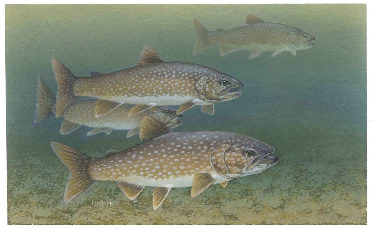
Animals around Chugach State Park







Regional setting
Chugach State Park is an Alaska destination, with Anchorage providing the regional context for trip planning. Anchorage is in Southcentral Alaska and is the state's largest city. Its municipality extends beyond the urbanized city to include physically separate communities, including Eagle River and Chugiak to the north and Girdwood to the south. Those distinctions matter when choosing a base: an Anchorage municipal address does not necessarily mean a location within the main urban area. Start by identifying the specific park entrance and intended outing before selecting accommodation or arranging transportation. A regional place name alone is not enough to establish trail access, road conditions, or the time needed to reach a departure point.
Choosing a base and confirming access
The urbanized part of Anchorage is described by Muldoon Road to the east, Rabbit Creek Road to the south, and Cook Inlet to the north and west. These are useful orientation points for understanding the city, not confirmed entrances to Chugach State Park. Eagle River and Chugiak lie north of the main city, while Girdwood lies south; none should be treated as a specific trailhead without further confirmation. Before committing to a plan, establish the exact access-point name, whether the approach suits the intended transportation, and how the return journey will work. No park-specific driving directions or travel times can be given here with confidence. Keep regional orientation separate from the practical details needed to reach a trail.
Build the outing around verified details
A useful Chugach State Park itinerary needs more than a destination name: it needs a confirmed starting point, an identified route, and current information about access. No specific trail, route distance, difficulty rating, seasonal recommendation, or named park hazard is established here. Rather than choose an outing from assumptions about Alaska, confirm those details for the exact area being considered. Ask the managing agency about current access conditions and any permit or fee requirements before departure. Select clothing, navigation equipment, food, and water only after establishing the outing's demands and checking the forecast. Anchorage's regional geography helps with broad orientation, but it cannot substitute for a park map or route-specific planning information.
Sample itineraries
- Anchorage-based park day · 1 day
Use Anchorage, in Southcentral Alaska, as a planning base. Confirm a Chugach State Park access point, current conditions and a suitable outing with the managing agency before setting out. Keep the day's objective within the group's ability and available daylight.
- Flexible two-day visit · 2 days
Plan two separate park outings from Anchorage rather than an unverified overnight route. Use the first day to assess conditions and the group's pace; choose the second outing accordingly. Confirm access and travel arrangements before committing to either day.
Seasonal conditions
Spring
Confirm suitable timing locally
Park-specific spring conditions are not established here. Check current access, weather and ground conditions before selecting an outing; do not assume the season means a route is ready for hiking.
Summer
Confirm suitable timing locally
Check the local forecast and current route reports. Summer alone is not enough information to judge access, equipment needs or whether an outing suits the group.
Fall
Confirm suitable timing locally
Verify current conditions and available daylight before setting a turnaround time. Keep plans flexible rather than relying on a fixed seasonal cutoff.
Winter
Confirm suitable timing locally
Obtain current winter access and safety guidance from the managing agency. Choose activities and equipment only after confirming the conditions and skills required.
| Season | Window | Conditions |
|---|---|---|
| Spring | Confirm suitable timing locally | Park-specific spring conditions are not established here. Check current access, weather and ground conditions before selecting an outing; do not assume the season means a route is ready for hiking. |
| Summer | Confirm suitable timing locally | Check the local forecast and current route reports. Summer alone is not enough information to judge access, equipment needs or whether an outing suits the group. |
| Fall | Confirm suitable timing locally | Verify current conditions and available daylight before setting a turnaround time. Keep plans flexible rather than relying on a fixed seasonal cutoff. |
| Winter | Confirm suitable timing locally | Obtain current winter access and safety guidance from the managing agency. Choose activities and equipment only after confirming the conditions and skills required. |
Permits, fees & closures
Confirm current permit requirements, charges and booking procedures with the Chugach State Park managing agency.
Confirm current permits, fees, and closures with the managing agency before you go.
Hazards & regulations
- Weather exposure: check the local forecast and carry protection appropriate to the conditions; no park-specific weather hazards are established here.
- Drinking-water uncertainty: carry sufficient water unless a dependable supply and suitable treatment method have been confirmed.
- Wildlife encounters: seek local safety guidance, keep your distance from animals and secure food; no park-specific species list is established here.
What to pack for Chugach State Park
- Current park map
- Offline navigation
- Confirmed access information
- Trip plan shared with a trusted contact
- Layers matched to the forecast
- Weather protection
- Footwear suited to confirmed conditions
- First-aid kit
- Headlamp
- Adequate drinking water
- Food for the planned outing and delays
- Food storage appropriate to local wildlife guidance
Chugach State Park FAQ
- Where can trip planning start?
- Anchorage is Alaska's largest city and lies in Southcentral Alaska. It can serve as a planning base, but confirm the specific park access point and travel arrangements separately.
- Which trail should a first-time visitor choose?
- A specific trail recommendation cannot be established here. Ask the managing agency for an accessible option suited to the group's experience and current conditions.
- Are permits or reservations required?
- Confirm directly with the managing agency before travel. Do not assume entry, parking, camping or other activities have the same requirements.
- When is the best season to visit?
- There is not enough park-specific seasonal information here to identify a best window. Match the visit to the intended activity, current access and the group's equipment and skills.
- Can an overnight route be planned from this profile?
- No verified overnight route, campsite or route distance is established here. Obtain current maps, camping guidance and route information before planning a night in the park.