



Where on earth
Satellite imagery flying in from a world view to Colca Canyon Trek, Peru. Use the + / − buttons, or click the map to zoom with your scroll wheel; drag to pan and pinch to zoom on touch.
- Region
- Peru
- Biome
- High-Andes canyon (2,000–3,800 m)
- Best season
- May – November
- Difficulty
- moderate
- Backpacking
- Hiking
- Desert Hiking
- Canyoneering
Key takeaways
- Biome: High-Andes canyon (2,000–3,800 m)
- Best season: May – November
- Difficulty: moderate
- Top activity: backpacking
Photos of Colca Canyon Trek
Topic summary
A 3-day trek into the world's second-deepest canyon south of Arequipa — condors, oasis camps, and stone villages.
Key takeaways
- Difficulty: moderate
- Best season: May – November
Intended uses
backpacking
Climate suitability
High-Andes canyon (2,000–3,800 m)
Tools for a trip here
Picked for how, when and where you're going. Free, no signup.
- Sleep System Temp CalculatorCold nights: check your bag and pad add up to a safe sleep.
- Base Weight CalculatorEvery ounce is carried — total your kit and find your base weight.
- Pack Volume SizerSize the pack for your trip length and season.
- Water Purification MatrixTreat water from streams and lakes on trail.
- Layering CalculatorCold-season miles: layer for climbs and camp.
Plan with verified data
Colca Canyon Trek trip tools
How to get there
Arequipa provides a regional point of orientation: Andagua is about 200 km northwest of the city, while Sabancaya is about 70 km northwest. Neither figure establishes a road distance or a journey to a Colca Canyon trailhead. Confirm the trek’s starting point and onward transport before departure.
- Arequipa
Regional city used to locate Andagua and Sabancaya. A specific transport connection from the city to the Colca Canyon Trek is not established here.
- Andagua
Town between the Colca and Cotahuasi canyons and the main centre for visits to the Valle de Los Volcanes. Treat it as a regional visitor centre, not a confirmed Colca trailhead.
Sources: Wikipedia · Wikivoyage. Confirm road and trailhead conditions with the managing agency before you leave.
Popular pursuits at Colca Canyon Trek
- Backpacking
Multi-day travel with everything on your back — see the packing blocks below.
- Hiking
Day miles on marked trail, with route notes and trail links below.
- Desert Hiking
Water carries and heat management drive the plan.
- Canyoneering
Narrows, downclimbs, and flash-flood timing.
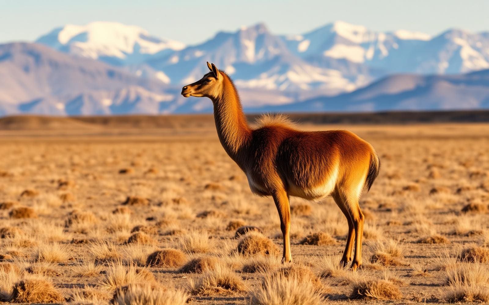
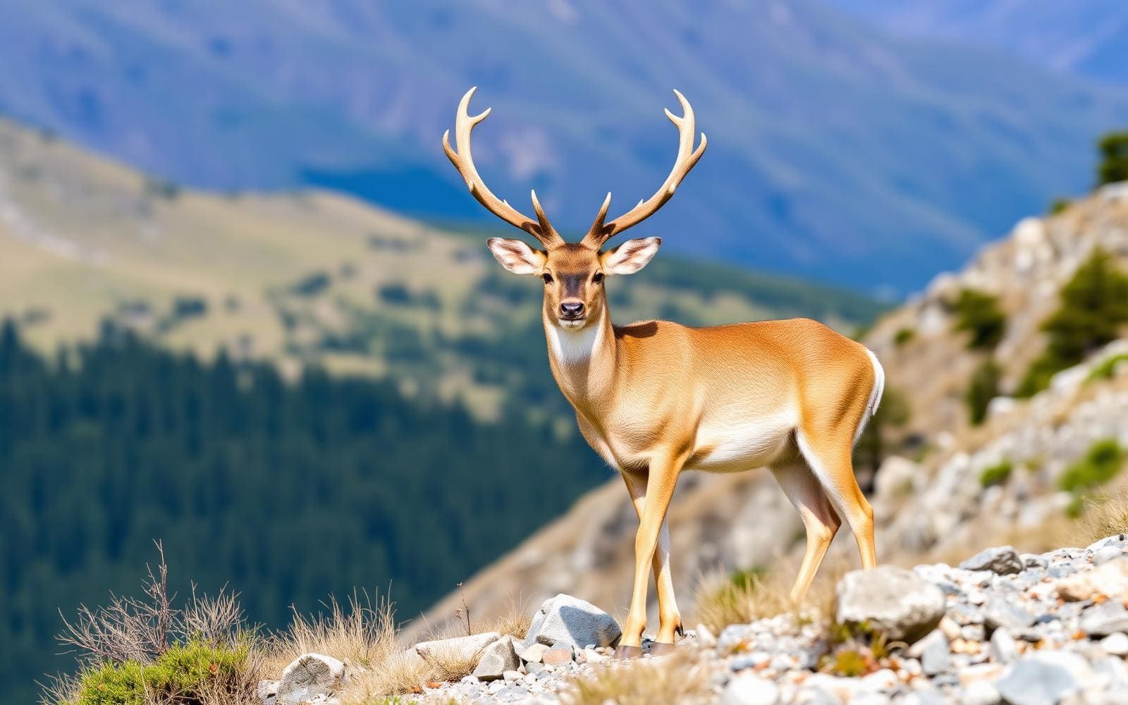
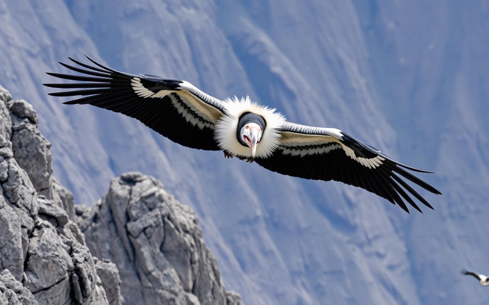
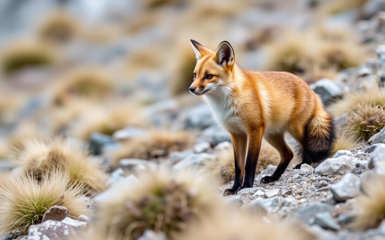
Animals around Colca Canyon Trek

Maps, GPS & compass for this trip
Carry a waterproof paper map and a compass you can steer by, and treat the GPS as the backup — not the other way round. Buying links go to Amazon; Wild10 earns a commission at no cost to you.
Waterproof topo maps
- Waterproof topographic map — Colca Canyon TrekAmazon search for waterproof, tear-resistant topo maps covering this area.
- National Geographic Trails IllustratedThe waterproof Trails Illustrated series — check for a sheet covering this area.
- Waterproof map case & compass lanyardKeep a paper map readable in rain, spray and a swamped boat.
Fishing at Colca Canyon Trek
Planning to fish Colca Canyon Trek, Peru? Fishing licences, open seasons and catch limits in Peru are set by the local wildlife authority and change every year — check the official source before you cast a line.
Do I need a fishing licence at Colca Canyon Trek?
- A Peru fishing licence is normally required for anyone over the local youth age.
- Read the current Peru fishing regulations for special waters, barbless-hook or catch-and-release rules.
- Clean, drain and dry boats and gear between waters to stop invasive species.
We don't have a verified licensing link on file for Peru yet — contact the park or land manager listed on this page for current hunting and fishing rules.
Hunting near Colca Canyon Trek
Thinking about hunting Colca Canyon Trek, Peru? Hunting seasons, tags and draws in Peru are set by the wildlife authority each year. Confirm the rules for your species and unit before you go.
Is hunting allowed at Colca Canyon Trek?
- Confirm the land around Colca Canyon Trek is open to hunting and which management unit it falls in.
What do I need to hunt in Peru?
- A Peru hunting licence — most jurisdictions also require hunter education certification.
- Species tags or draw results for big game such as deer, elk, moose or bear where they occur.
- Knowledge of firearm and bow transport rules, which differ by land type and border crossing.
We don't have a verified licensing link on file for Peru yet — contact the park or land manager listed on this page for current hunting and fishing rules.
Colca Canyon in its regional setting
Colca Canyon sits within the southern Peruvian landscape described by the relationship between Arequipa, Andagua, and the surrounding volcanic country. Andagua lies between the Colca and Cotahuasi canyons, about 200 km northwest of Arequipa, and serves as the main centre for visits to the Valle de Los Volcanes. That makes it a useful place to understand the wider region, but not an established starting point for a Colca trek here. Keep regional sightseeing and canyon walking separate when planning: a town’s position near a canyon does not establish a trail connection. Before committing to a walking itinerary, confirm the actual trailhead, exit point, transport arrangements, and current trail conditions locally. No specific canyon descent, crossing, or return route is established in this profile.
The volcanic landscape and its hazards
Sabancaya is an active stratovolcano in the Andes of southern Peru, about 70 km northwest of Arequipa. It forms a volcanic complex with Hualca Hualca to the north and Ampato to the south, within the Central Volcanic Zone of the Andes. Its landscape records both long lava flows, especially from the early Holocene, and more explosive activity in the later Holocene. Sabancaya returned to activity in 1986, with a large eruption in 1990, and has since remained active with ash and gas emissions. Its small ice cap also creates a risk of lahars during eruptions. These are reasons to check current volcanic guidance before adding travel near the volcanic complex; they do not establish the exposure or safety of any particular Colca Canyon trail.
Andagua as a separate regional visit
Andagua offers a distinct regional stop rather than a confirmed segment of the Colca Canyon Trek. The town is the major centre for visits to the Valle de Los Volcanes, or Valley of Volcanoes, and occupies a position between two canyons: Colca and Cotahuasi. Its main plaza is planted with bushes clipped into different shapes, with sheep or alpacas sometimes brought in to trim the grass. Those details give a concrete sense of the town without implying that canyon trails begin there. If combining a canyon walk with a visit to Andagua, arrange each component on its own terms and verify the transport connection. The stated distance from Arequipa is regional orientation only, not a driving distance, travel time, or measure of the trek.
Route options
- Colca Canyon Trek
The intended canyon walk, but no specific alignment, trailhead, exit, or overnight itinerary is established here. Confirm those details locally before selecting a route.
- Valle de Los Volcanes
A separate regional visit centred on Andagua, not a documented Colca Canyon trekking route. No specific walking circuit or connection into the canyon is established here.
Sample itineraries
- Colca Canyon trek preparation · 1 day
Use a preparation day to confirm the trekking route, access points, overnight arrangements and current conditions locally. This is not a verified canyon itinerary; walking stages and access details remain unconfirmed.
- Andagua town exploration · 1 day
An optional day in Andagua, between the Colca and Cotahuasi canyons. Explore its main plaza and clipped ornamental bushes. The town is a centre for visits to the Valle de Los Volcanes. Transport connections with a Colca trek remain unconfirmed.
Seasonal conditions
Spring
Trekking window unconfirmed
Spring weather and canyon trail conditions are not established here. Confirm local forecasts and access before choosing walking dates.
Summer
Trekking window unconfirmed
Summer rainfall, temperatures and trail suitability remain unconfirmed. Do not assume a reliable dry-weather window.
Fall
Trekking window unconfirmed
Fall conditions and route availability remain unconfirmed. Check forecasts and local trail reports before committing to an itinerary.
Winter
Trekking window unconfirmed
Winter temperatures and canyon walking conditions remain unconfirmed. Regional volcanic activity should not be treated as a seasonal issue.
| Season | Window | Conditions |
|---|---|---|
| Spring | Trekking window unconfirmed | Spring weather and canyon trail conditions are not established here. Confirm local forecasts and access before choosing walking dates. |
| Summer | Trekking window unconfirmed | Summer rainfall, temperatures and trail suitability remain unconfirmed. Do not assume a reliable dry-weather window. |
| Fall | Trekking window unconfirmed | Fall conditions and route availability remain unconfirmed. Check forecasts and local trail reports before committing to an itinerary. |
| Winter | Trekking window unconfirmed | Winter temperatures and canyon walking conditions remain unconfirmed. Regional volcanic activity should not be treated as a seasonal issue. |
Permits, fees & closures
Confirm current Colca Canyon entry requirements, permits and any booking arrangements with the managing agency before travel.
Confirm current permits, fees, and closures with the managing agency before you go.
Hazards & regulations
- Sabancaya is an active volcano in southern Peru with ongoing ash and gas emissions. Check current volcanic advisories when planning travel in the region.
- Sabancaya has a history of explosive activity. Do not treat a regional volcano excursion as an ordinary canyon walk.
- Sabancaya's small ice cap creates a risk of lahars during eruptions. Exposure along any proposed Colca route is not established here.
- Canyon access points, walking stages and overnight options remain unconfirmed. Obtain route-specific information before setting out.
What to pack for Colca Canyon Trek
- Verified local route information
- Offline navigation for the confirmed itinerary
- Current emergency contact details
- Layers selected for the local forecast
- Water for the confirmed walking stages
- Basic first-aid kit
- Charged communication device
Colca Canyon Trek FAQ
- Is there a verified Colca Canyon trekking route here?
- No. Trailheads, walking distances, canyon settlements and overnight stops are not established. Confirm these details locally before choosing a trek length.
- Where is Andagua?
- Andagua is in southern Peru, about 200 kilometres northwest of Arequipa, between the Colca and Cotahuasi canyons. It is a centre for visits to the Valle de Los Volcanes.
- What can be seen in Andagua itself?
- Its main plaza contains bushes clipped into varied shapes. Sheep or alpacas are sometimes brought in to trim the grass; these are domestic animals, not wildlife sightings.
- Why does Sabancaya matter for regional planning?
- Sabancaya is an active stratovolcano about 70 kilometres northwest of Arequipa. Its activity includes ash and gas emissions. Whether a particular canyon route is affected requires current, route-specific advice.
- What is the best season for the trek?
- A reliable seasonal recommendation cannot be established here. Confirm local weather patterns, current forecasts and trail conditions before booking.