



Where on earth
Satellite imagery flying in from a world view to Cordillera Blanca — Santa Cruz Trek, Peru. Use the + / − buttons, or click the map to zoom with your scroll wheel; drag to pan and pinch to zoom on touch.
- Region
- Peru
- Biome
- Andean alpine (3,000–4,750 m)
- Best season
- May – September
- Difficulty
- moderate
- Backpacking
- Hiking
- Climbing
Key takeaways
- Biome: Andean alpine (3,000–4,750 m)
- Best season: May – September
- Difficulty: moderate
- Top activity: backpacking
Photos of Cordillera Blanca — Santa Cruz Trek
Topic summary
The 50-km classic Peruvian trek across Punta Union pass through the Cordillera Blanca.
Key takeaways
- Difficulty: moderate
- Best season: May – September
Intended uses
backpacking
Climate suitability
Andean alpine (3,000–4,750 m)
Tools for a trip here
Picked for how, when and where you're going. Free, no signup.
- Sleep System Temp CalculatorCold nights: check your bag and pad add up to a safe sleep.
- Base Weight CalculatorEvery ounce is carried — total your kit and find your base weight.
- Pack Volume SizerSize the pack for your trip length and season.
- Water Purification MatrixTreat water from streams and lakes on trail.
- Layering CalculatorCold-season miles: layer for climbs and camp.
Plan with verified data
Cordillera Blanca — Santa Cruz Trek trip tools
How to get there
Arrange access and return transport through Huaraz, Yungay and Caraz. The trek links Vaquería and Cashapampa, so plan transport for both trailheads. Agencies in Huaraz can also arrange a guide, cook and pack animals.
- Vaquería
One of the two trailheads for the Santa Cruz Trek and an endpoint for the crossing through Huascarán National Park to Cashapampa.
- Cashapampa
The other trailhead for the Santa Cruz Trek, paired with Vaquería for the point-to-point camping route.
Sources: Wikipedia · Wikivoyage. Confirm road and trailhead conditions with the managing agency before you leave.
Popular pursuits at Cordillera Blanca — Santa Cruz Trek
- Backpacking
Multi-day travel with everything on your back — see the packing blocks below.
- Hiking
Day miles on marked trail, with route notes and trail links below.
- Climbing
Rock and alpine lines with approach beta.
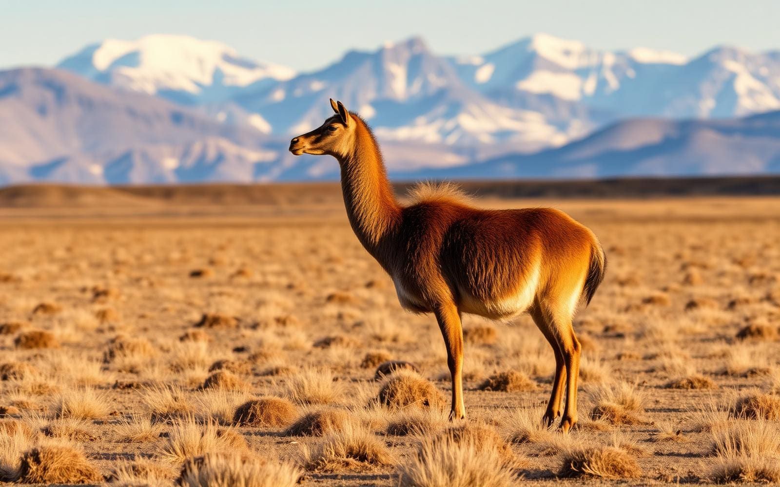
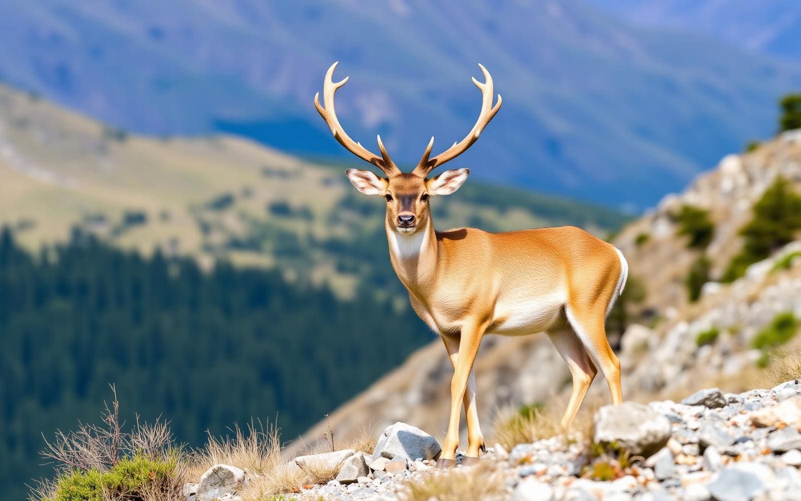
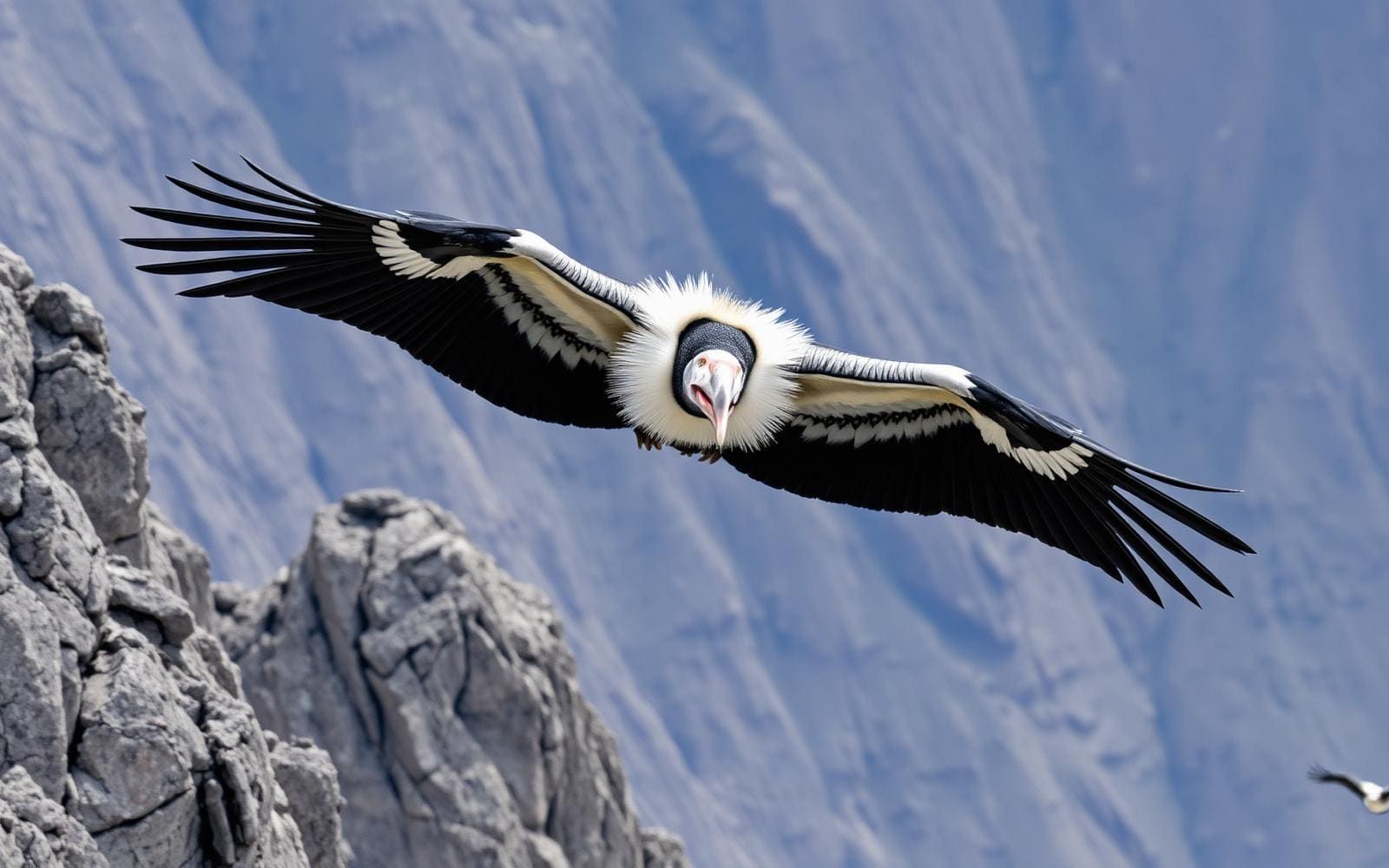
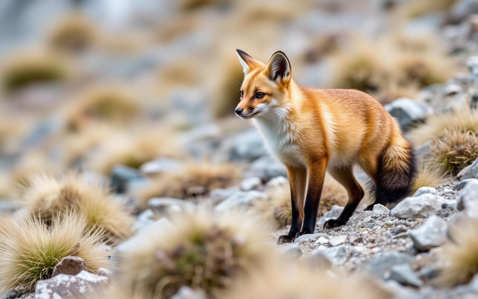
Animals around Cordillera Blanca — Santa Cruz Trek

Maps, GPS & compass for this trip
Carry a waterproof paper map and a compass you can steer by, and treat the GPS as the backup — not the other way round. Buying links go to Amazon; Wild10 earns a commission at no cost to you.
Waterproof topo maps
- Waterproof topographic map — Cordillera Blanca — Santa Cruz TrekAmazon search for waterproof, tear-resistant topo maps covering this area.
- National Geographic Trails IllustratedThe waterproof Trails Illustrated series — check for a sheet covering this area.
- Waterproof map case & compass lanyardKeep a paper map readable in rain, spray and a swamped boat.
Fishing at Cordillera Blanca — Santa Cruz Trek
Planning to fish Cordillera Blanca — Santa Cruz Trek, Peru? Fishing licences, open seasons and catch limits in Peru are set by the local wildlife authority and change every year — check the official source before you cast a line.
Do I need a fishing licence at Cordillera Blanca — Santa Cruz Trek?
- A Peru fishing licence is normally required for anyone over the local youth age.
- Read the current Peru fishing regulations for special waters, barbless-hook or catch-and-release rules.
- Clean, drain and dry boats and gear between waters to stop invasive species.
We don't have a verified licensing link on file for Peru yet — contact the park or land manager listed on this page for current hunting and fishing rules.
Hunting near Cordillera Blanca — Santa Cruz Trek
Thinking about hunting Cordillera Blanca — Santa Cruz Trek, Peru? Hunting seasons, tags and draws in Peru are set by the wildlife authority each year. Confirm the rules for your species and unit before you go.
Is hunting allowed at Cordillera Blanca — Santa Cruz Trek?
- Confirm the land around Cordillera Blanca — Santa Cruz Trek is open to hunting and which management unit it falls in.
What do I need to hunt in Peru?
- A Peru hunting licence — most jurisdictions also require hunter education certification.
- Species tags or draw results for big game such as deer, elk, moose or bear where they occur.
- Knowledge of firearm and bow transport rules, which differ by land type and border crossing.
We don't have a verified licensing link on file for Peru yet — contact the park or land manager listed on this page for current hunting and fishing rules.
A camping traverse through the Cordillera Blanca
The Santa Cruz Trek crosses part of Huascarán National Park in Peru’s Ancash region, linking Vaquería and Cashapampa through the Cordillera Blanca. The classic route is about 50 km long and is normally walked as a camping trip over three to four days. Its defining terrain is a sequence of glacial valleys, lakes and streams beneath high Andean peaks, including Taulliraju, Alpamayo, Artesonraju and Huascarán. This is a valley trek with a substantial high pass, rather than a summit climb. The surrounding range contains several mountains above 6,000 metres, giving the walk a high-mountain setting throughout. Plan around carrying or arranging overnight equipment and organizing transport at both ends, rather than treating it as a series of day walks.
Punta Unión and choosing a realistic pace
Punta Unión, at 4,750 metres, is the trek’s central planning consideration. The route’s roughly 50 km length matters, but altitude deserves equal attention when deciding whether the itinerary suits the group. Most hikers take four days and three nights; a three-day crossing is an option for hikers who are already acclimatized and fit, not a useful default for everyone. Allow time to adjust to altitude before starting, and avoid building a schedule that depends on maintaining a low-elevation walking pace. Camping equipment, warm layers and protection from changing mountain weather belong in the plan. The lakes and streams are part of the route’s landscape, but their presence should not replace a considered drinking-water treatment plan for a multiday walk.
Trip organization and the wider mountain landscape
Huaraz is a base for organizing the trek, with access and return transport arranged through Huaraz, Yungay and Caraz. The walk can be undertaken independently or with a guide, cook and pack animals arranged through agencies in Huaraz. Choose the level of support according to the group’s experience with high-altitude camping and carrying overnight loads. Beyond the trail itself, the Cordillera Blanca runs parallel to the Santa River valley, known in its upper and middle sections as Callejón de Huaylas. Huascarán National Park encompasses almost the entire range. Glaciers are a defining feature of these mountains, and their snowmelt contributes to northern Peru’s year-round water supply. That wider setting makes careful camp practices and protection of streams especially important.
Route options
- Classic four-day Santa Cruz TrekAbout 50 km (31 mi)High-altitude multiday hike requiring acclimatization and preparation for camping.
The usual four-day, three-night camping itinerary between Vaquería and Cashapampa, following glacial valleys and crossing Punta Unión at 4,750 metres. It can be walked independently or with arranged support.
- Three-day Santa Cruz TrekAbout 50 km (31 mi)A more compressed high-altitude itinerary suited to acclimatized, fit hikers.
A shorter schedule for the same classic crossing, used by some acclimatized and fit hikers. It retains the Punta Unión crossing and compresses the walking into three days rather than the usual four.
Sample itineraries
- Four-day Santa Cruz camping trek · 4 days
Walk the classic route between Vaquería and Cashapampa over four days and three nights. The roughly 50 km trek follows glacial valleys, lakes and streams, crossing Punta Unión at 4,750 m. Arrange trailhead and return transport through Huaraz, Yungay and Caraz.
- Three-day Santa Cruz trek · 3 days
Fit, acclimatized hikers can complete the same route in three days. This compressed schedule means longer walking days without reducing the altitude of Punta Unión. Travel independently or arrange a guide, cook and pack animals through an agency in Huaraz.
Seasonal conditions
Spring
Confirm local seasonal timing before departure
Plan for high-altitude walking and camping. Check current weather and pass conditions rather than assuming spring means mild conditions at Punta Unión.
Summer
Confirm local seasonal timing before departure
Summer does not remove the demands of a 4,750 m crossing. Check local forecasts and carry protection for changing mountain weather.
Fall
Confirm local seasonal timing before departure
Check current trail and weather conditions before committing to either itinerary. Keep enough flexibility for weather changes during a multiday camping trek.
Winter
Confirm local seasonal timing before departure
Confirm conditions at Punta Unión and prepare for cold at altitude. Choose sleeping equipment and layers for the forecast, not the season name alone.
| Season | Window | Conditions |
|---|---|---|
| Spring | Confirm local seasonal timing before departure | Plan for high-altitude walking and camping. Check current weather and pass conditions rather than assuming spring means mild conditions at Punta Unión. |
| Summer | Confirm local seasonal timing before departure | Summer does not remove the demands of a 4,750 m crossing. Check local forecasts and carry protection for changing mountain weather. |
| Fall | Confirm local seasonal timing before departure | Check current trail and weather conditions before committing to either itinerary. Keep enough flexibility for weather changes during a multiday camping trek. |
| Winter | Confirm local seasonal timing before departure | Confirm conditions at Punta Unión and prepare for cold at altitude. Choose sleeping equipment and layers for the forecast, not the season name alone. |
Permits, fees & closures
Confirm current entry requirements with the managing agency for Huascarán National Park.
Confirm current permits, fees, and closures with the managing agency before you go.
Hazards & regulations
- High altitude: Punta Unión reaches 4,750 m. Acclimatize before the trek, watch for altitude illness, and descend if symptoms worsen.
- Weather exposure: high-altitude walking and camping require protection against cold and changing mountain weather.
- Fatigue: the classic route covers about 50 km. A three-day schedule is best reserved for fit, acclimatized hikers.
- Untreated water: lakes and streams along the route should not be assumed safe to drink; carry a treatment method.
What to pack for Cordillera Blanca — Santa Cruz Trek
- Tent suitable for mountain weather
- Sleeping bag matched to expected temperatures
- Insulated sleeping pad
- Cooking equipment if not provided by a supported trek
- Insulating layers
- Waterproof outer layers
- Broken-in hiking footwear
- Sun hat and sunglasses
- Water containers and water treatment
- Food for the planned itinerary
- Navigation tools
- First-aid kit
- Headlamp
- Sunscreen
Cordillera Blanca — Santa Cruz Trek FAQ
- Where does the Santa Cruz Trek start and finish?
- The trailheads are Vaquería and Cashapampa in Peru's Cordillera Blanca. The route crosses part of Huascarán National Park, with access and return transport arranged through Huaraz, Yungay and Caraz.
- How long and high is the trek?
- The classic route is about 50 km long and crosses Punta Unión pass at 4,750 m. Most hikers take four days and three nights; fit, acclimatized hikers sometimes finish in three days.
- Is a guide required?
- The trek can be walked independently or with support. Agencies in Huaraz arrange guides, cooks and pack animals. Confirm current park requirements separately with the managing agency.
- What is the landscape like?
- The route follows glacial valleys, lakes and streams beneath peaks including Taulliraju, Alpamayo, Artesonraju and Huascarán. The surrounding Cordillera Blanca contains extensive glaciers and several peaks above 6,000 m.
- Is this normally a camping trek?
- Yes. Plan for multiday camping, carrying the necessary equipment or confirming what a supported trek provides. The usual four-day itinerary involves three nights out.
- How should hikers choose between three and four days?
- Four days is the usual schedule. Choose three only with suitable fitness and prior acclimatization. An extra walking day spreads the distance but does not replace acclimatization before crossing Punta Unión.