


Where on earth
Satellite imagery flying in from a world view to Cotopaxi (Ecuador), Worldwide. Use the + / − buttons, or click the map to zoom with your scroll wheel; drag to pan and pinch to zoom on touch.
- Region
- Ecuador
- Country
- Worldwide
- Biome
- Andean volcano (3,800–5,897 m)
- Best season
- November – February, June – August
- Difficulty
- moderate
- Backpacking
- Hiking
- Mountaineering
Key takeaways
- Biome: Andean volcano (3,800–5,897 m)
- Best season: November – February, June – August
- Difficulty: moderate
- Top activity: backpacking
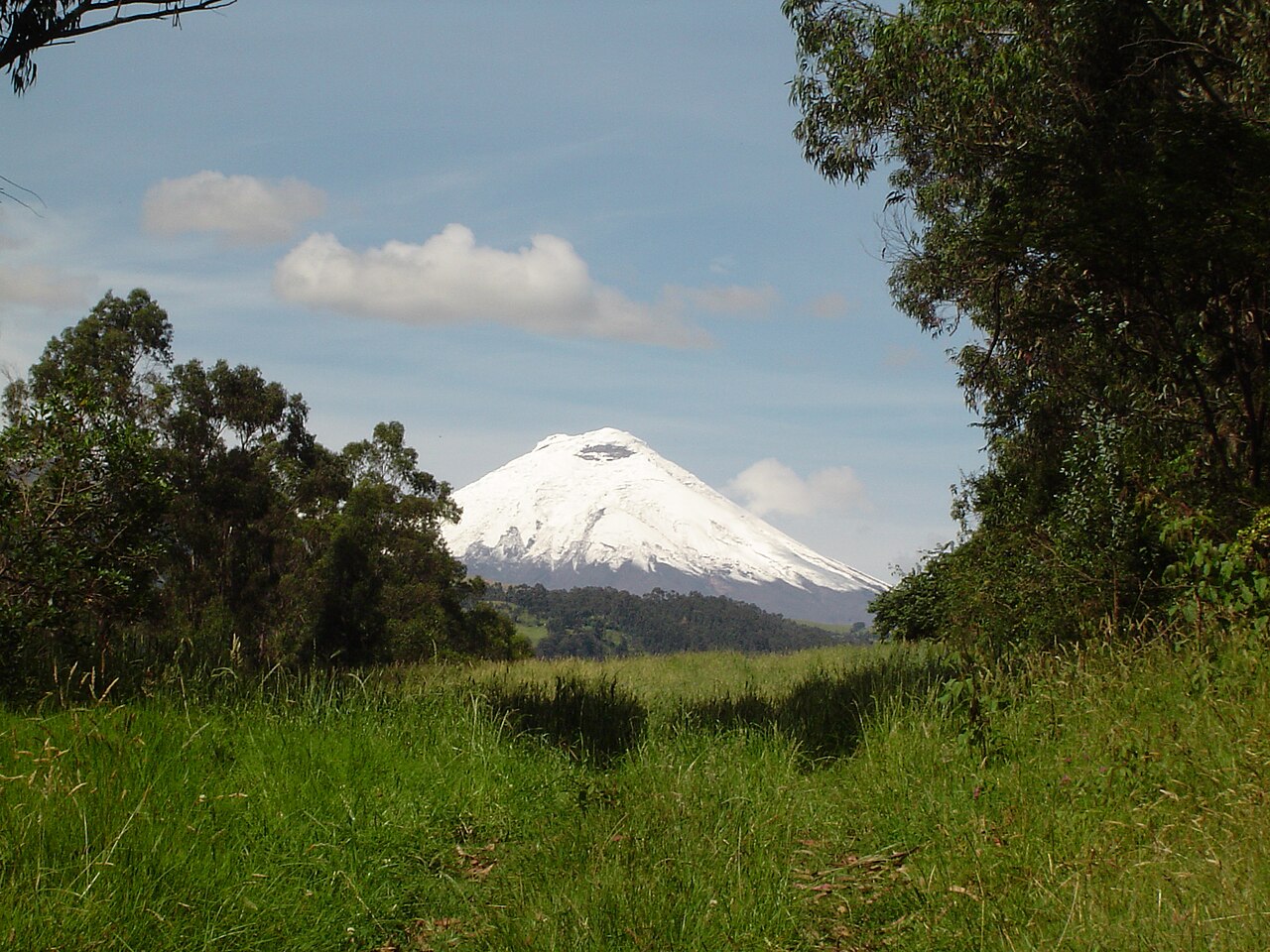
Photos of Cotopaxi (Ecuador)
Topic summary
5,897-m glaciated volcano — one of the world's most-climbed high peaks.
Key takeaways
- Difficulty: moderate
- Best season: November – February, June – August
Intended uses
backpacking
Climate suitability
Andean volcano (3,800–5,897 m)
Tools for a trip here
Picked for how, when and where you're going. Free, no signup.
- Sleep System Temp CalculatorCold nights: check your bag and pad add up to a safe sleep.
- Base Weight CalculatorEvery ounce is carried — total your kit and find your base weight.
- Pack Volume SizerSize the pack for your trip length and season.
- Water Purification MatrixTreat water from streams and lakes on trail.
- Layering CalculatorCold-season miles: layer for climbs and camp.
Plan with verified data
Cotopaxi (Ecuador) trip tools
How to get there
Cotopaxi is in Cotopaxi National Park, about 50 km south of Quito and 31 km northeast of Latacunga. These are geographic location figures, not confirmed road distances. Confirm the usable park approach and transport arrangements before departure.
- Quito
Regional orientation point about 50 km north of Cotopaxi. This identifies a nearby city, not a specific park entrance or trailhead.
- Latacunga
Regional orientation point about 31 km southwest of Cotopaxi. Confirm the actual park access rather than treating this geographic distance as a road approach.
Sources: Wikipedia · Wikivoyage. Confirm road and trailhead conditions with the managing agency before you leave.
Popular pursuits at Cotopaxi (Ecuador)
- Backpacking
Multi-day travel with everything on your back — see the packing blocks below.
- Hiking
Day miles on marked trail, with route notes and trail links below.
- Mountaineering
Glacier and high-route objectives with real consequence.
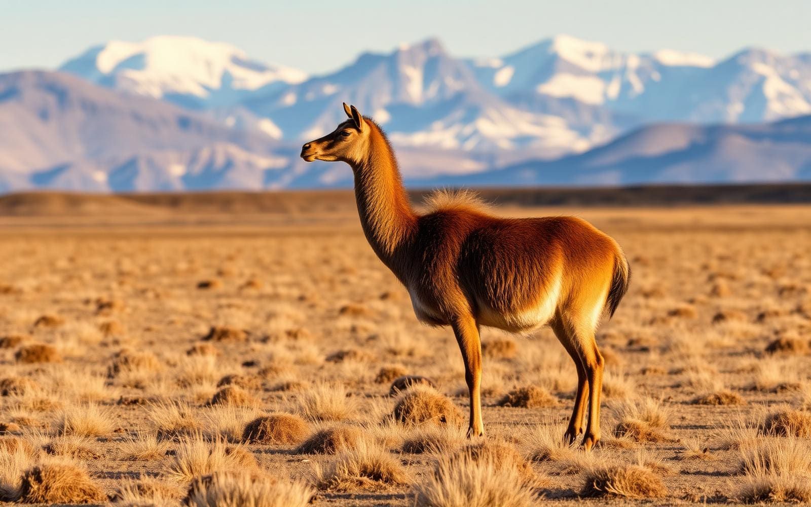
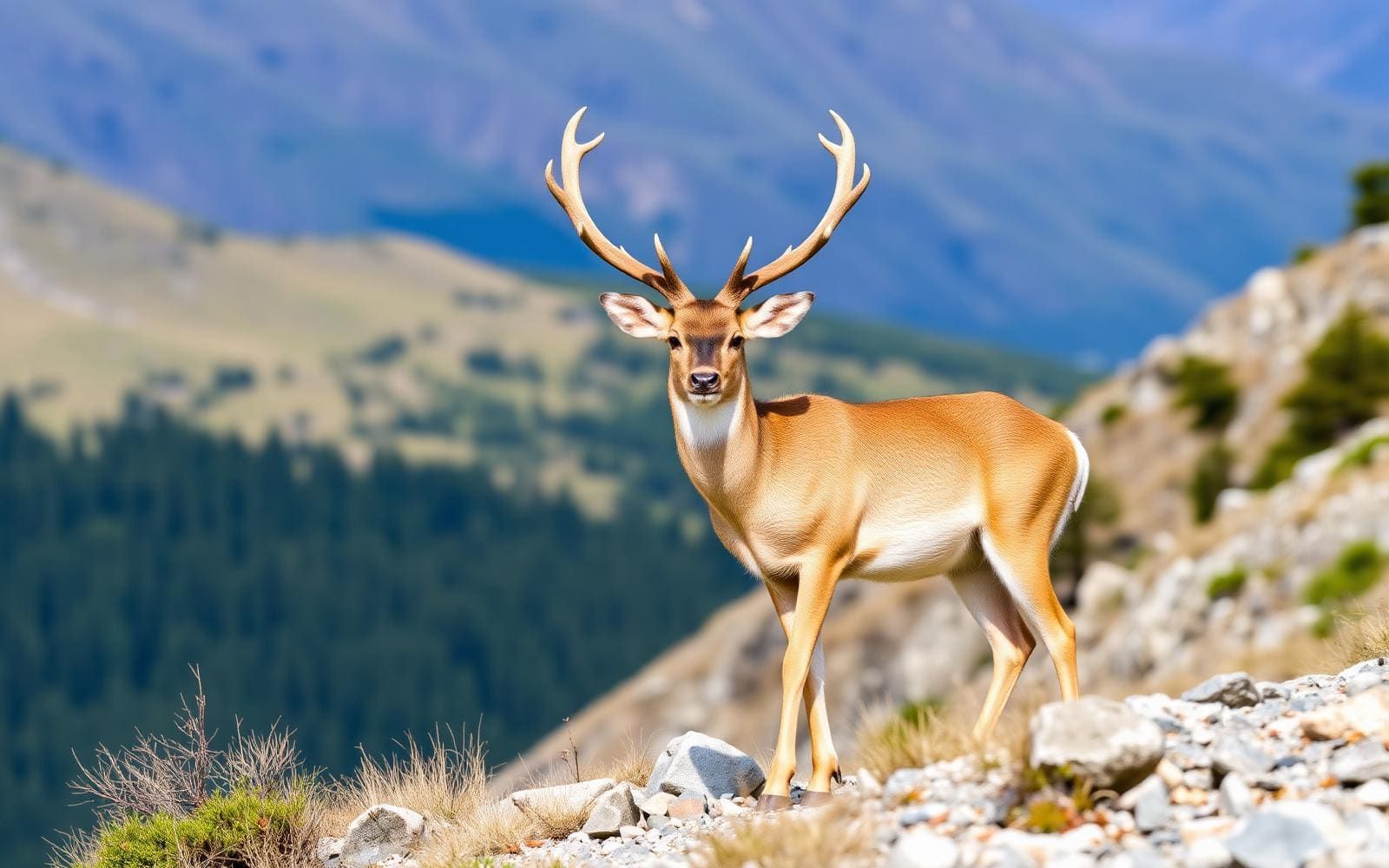
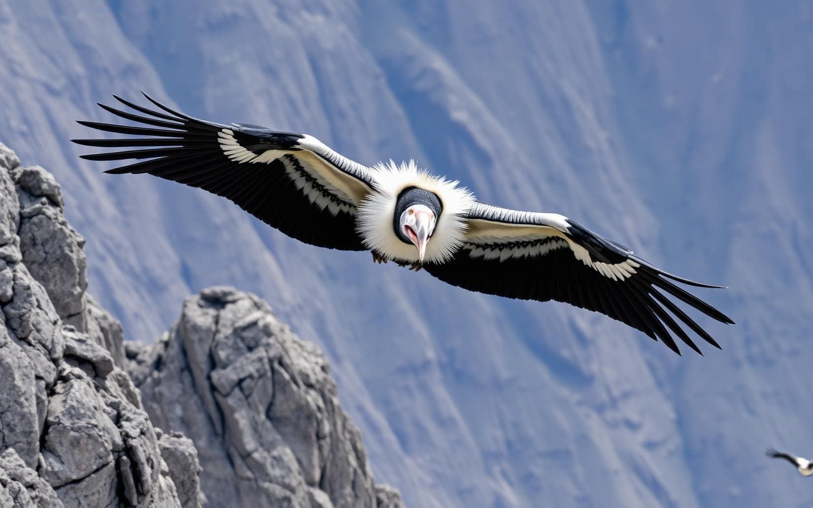
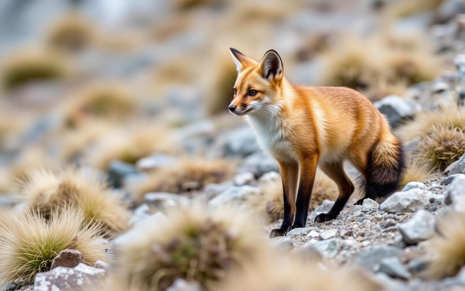
Animals around Cotopaxi (Ecuador)

Maps, GPS & compass for this trip
Carry a waterproof paper map and a compass you can steer by, and treat the GPS as the backup — not the other way round. Buying links go to Amazon; Wild10 earns a commission at no cost to you.
Waterproof topo maps
- Waterproof topographic map — Cotopaxi (Ecuador)Amazon search for waterproof, tear-resistant topo maps covering this area.
- National Geographic Trails IllustratedThe waterproof Trails Illustrated series — check for a sheet covering this area.
- Waterproof map case & compass lanyardKeep a paper map readable in rain, spray and a swamped boat.
Fishing at Cotopaxi (Ecuador)
Planning to fish Cotopaxi (Ecuador)? Fishing licences, open seasons and catch limits in Ecuador are set by the local wildlife authority and change every year — check the official source before you cast a line.
Do I need a fishing licence at Cotopaxi (Ecuador)?
- A Ecuador fishing licence is normally required for anyone over the local youth age.
- Read the current Ecuador fishing regulations for special waters, barbless-hook or catch-and-release rules.
- Clean, drain and dry boats and gear between waters to stop invasive species.
We don't have a verified licensing link on file for Ecuador yet — contact the park or land manager listed on this page for current hunting and fishing rules.
Hunting near Cotopaxi (Ecuador)
Thinking about hunting Cotopaxi (Ecuador)? Hunting seasons, tags and draws in Ecuador are set by the wildlife authority each year. Confirm the rules for your species and unit before you go.
Is hunting allowed at Cotopaxi (Ecuador)?
- Confirm the land around Cotopaxi (Ecuador) is open to hunting and which management unit it falls in.
What do I need to hunt in Ecuador?
- A Ecuador hunting licence — most jurisdictions also require hunter education certification.
- Species tags or draw results for big game such as deer, elk, moose or bear where they occur.
- Knowledge of firearm and bow transport rules, which differ by land type and border crossing.
We don't have a verified licensing link on file for Ecuador yet — contact the park or land manager listed on this page for current hunting and fishing rules.
A high, active volcano in the Ecuadorian Andes
Cotopaxi rises to 5,897 m in the Andes Mountains of Ecuador, making it the country’s second-highest summit after Chimborazo. It stands within Cotopaxi National Park in Cotopaxi Province, about 50 km south of Quito and 31 km northeast of Latacunga. Those nearby cities give useful geographic context, but proximity alone does not establish an easy approach or a short mountain outing. The defining features here are exceptional elevation and an active volcanic landscape. A visit to the national park and an attempt to reach the summit should be treated as different objectives, with different preparation needs. Decide which kind of trip is intended before arranging transport, and do not mistake the mountain’s position near Quito for evidence that summit travel is straightforward.
Volcanic activity shapes the trip
Cotopaxi is an active stratovolcano, and volcanic hazards belong at the center of trip planning rather than in a footnote. Its recorded history includes 87 eruptions, with lahars, or volcanic mudflows, forming numerous valleys around the mountain. An eruption began on 21 October 2022. At the end of February 2023, Ecuador’s Geophysical Institute reported around 8,000 earthquakes since that eruption began. Those dated observations describe a period of activity; they do not establish conditions for a future visit. Check current volcanic guidance and confirm access with the managing authority before traveling. A valley below the summit should not automatically be treated as sheltered from volcanic hazards. Keep plans flexible enough to change the objective or abandon the outing if current guidance calls for it.
Plan around elevation, not just location
At nearly 5,900 m, Cotopaxi demands planning that accounts for altitude even when the broader trip begins in a city. Allow time to acclimatize before considering a summit objective, and choose an outing that matches the party’s experience and response to elevation. Mountain weather, exposure, and the ability to turn back deserve more weight than a fixed schedule. Carry appropriate layers, water, food, and sun protection, and avoid treating a summit as an obligation. Quito and Latacunga are useful places to orient a regional itinerary, but their stated distances from Cotopaxi are not driving distances or travel-time estimates. Before departure, establish the actual approach, current access conditions, and the requirements for the intended activity. Do not build a detailed mountain itinerary around geographic proximity alone.
Route options
- Cotopaxi National Park visit
A park-focused alternative to making the summit the trip’s objective. Select a specific outing only after confirming current access and volcanic guidance; no particular trail alignment is established here.
- Cotopaxi summit objective
The 5,897 m summit is a separate high-altitude objective, not an extension to assume is feasible during a park visit. Confirm current access, volcanic conditions, and appropriate mountain support before considering an attempt. No specific ascent route is described here.
Sample itineraries
- Quito and a Cotopaxi day visit · 2 days
Spend one day exploring Quito’s Old City, then plan a separate day for Cotopaxi National Park, about 50 km south of Quito. Confirm volcanic conditions and permitted access before departure. Keep this a sightseeing plan rather than a summit attempt.
- Latacunga-based Cotopaxi visit · 2 days
Use Latacunga as a planning base, with Cotopaxi about 31 km northeast of the city. Allow the first day for preparation and access checks, and the second for a park visit if conditions permit. These location distances are not driving distances.
Seasonal conditions
Spring
No established seasonal window
Do not assume a spring visit means mild conditions on this high Andean volcano. Check the mountain forecast and current volcanic guidance before choosing activities.
Summer
No established seasonal window
Summer is not established here as a preferred visiting or climbing season. Plan around current weather, elevation, and agency guidance rather than the season label.
Fall
No established seasonal window
A fall date alone does not establish suitable mountain conditions. Keep plans flexible and confirm volcanic activity and access before traveling to the park.
Winter
No established seasonal window
Do not use the winter label to predict conditions in Ecuador’s Andes. Prepare for exposure at elevation and check a current forecast appropriate to the area being visited.
| Season | Window | Conditions |
|---|---|---|
| Spring | No established seasonal window | Do not assume a spring visit means mild conditions on this high Andean volcano. Check the mountain forecast and current volcanic guidance before choosing activities. |
| Summer | No established seasonal window | Summer is not established here as a preferred visiting or climbing season. Plan around current weather, elevation, and agency guidance rather than the season label. |
| Fall | No established seasonal window | A fall date alone does not establish suitable mountain conditions. Keep plans flexible and confirm volcanic activity and access before traveling to the park. |
| Winter | No established seasonal window | Do not use the winter label to predict conditions in Ecuador’s Andes. Prepare for exposure at elevation and check a current forecast appropriate to the area being visited. |
Permits, fees & closures
Confirm entry requirements, permits, and current access with the managing agency for Cotopaxi National Park.
Confirm current permits, fees, and closures with the managing agency before you go.
Hazards & regulations
- High altitude: Cotopaxi’s summit reaches 5,897 m. Allow for acclimatization and do not treat a short sightseeing itinerary as preparation for an ascent.
- Volcanic activity: Cotopaxi is an active stratovolcano. Check current official guidance before visiting; historical activity does not establish present access or safety.
- Lahars: past eruptions have produced mudflows that formed valleys around the volcano. Follow agency instructions about volcanic hazards and where visitors may travel.
- Mountain exposure: prepare for changing weather at elevation and adjust plans to conditions rather than a fixed schedule.
What to pack for Cotopaxi (Ecuador)
- Insulating layers
- Weatherproof outer layer
- Warm hat and gloves
- Sturdy footwear suited to the planned outing
- Drinking water
- Food
- Sun protection
- Personal medications and basic first-aid supplies
- Charged phone
- Backup power
- Current agency access and volcanic guidance
- Weather forecast for the intended elevation
Cotopaxi (Ecuador) FAQ
- Where is Cotopaxi?
- Cotopaxi is in the Andes, within Cotopaxi National Park in Ecuador’s Cotopaxi Province. It lies about 50 km south of Quito and 31 km northeast of Latacunga.
- How high is Cotopaxi?
- The summit reaches 5,897 m, making Cotopaxi Ecuador’s second-highest summit after Chimborazo. Its elevation makes altitude a central planning concern.
- Is Cotopaxi an active volcano?
- Yes. An eruption began on 21 October 2022, and substantial earthquake activity was reported through February 2023. Those historical reports do not establish today’s conditions; check current official guidance.
- Do these itineraries include climbing the summit?
- No. They are flexible sightseeing frameworks. A summit attempt requires a separate assessment of access, volcanic conditions, mountain weather, acclimatization, skills, and equipment.
- What can be paired with a Cotopaxi visit?
- Quito’s Old City offers a contrasting urban day. Its colonial center is UNESCO-listed and contains more than 40 churches and 16 convents and monasteries.