


- Region
- Idaho, USA
- Best season
- Spring, Summer
- Permits
- Confirm permit requirements, fees, and res…
Plan with verified data
Frank Church-River of No Return trip tools
Tools for a trip here
Picked for how, when and where you're going. Free, no signup.
Photos of Frank Church-River of No Return
How to get there
Frank Church-River of No Return is in Idaho, USA. Its center point is 45.3500, -114.9000. Use these links for live turn-by-turn directions from where you are, then confirm road, trailhead and access conditions with the managing agency before you leave.
Idaho, USA · Season: Best: Jun – Sep (river) / Jul – Sep (backpack)
- Rafting
- Fishing
- Climbing
- Mountaineering
- Desert Hiking
- Canyoneering
- Backpacking
- Wildlife Viewing
The country
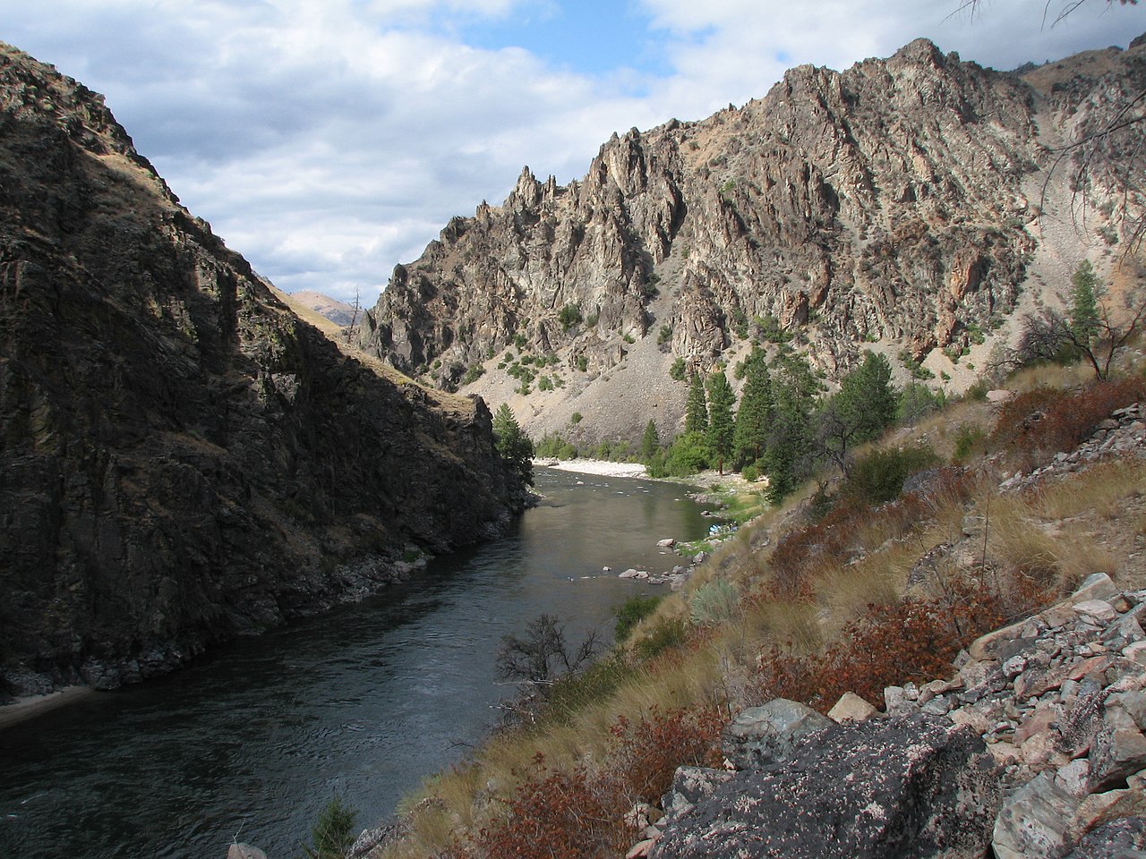
The Salmon and Selway rivers cut central Idaho into deep canyons of Douglas fir, Ponderosa pine, and open grass slopes. The Bighorn Crags are a compact granite alpine cluster deep inside.
Why enthusiasts come
The Middle Fork of the Salmon is one of the great multi-day whitewater trips in North America. Backpacking loops out of Big Creek and the Selway offer weeks of route-finding.
Planner-relevant notes
Middle Fork permits are lottery-only (Dec deadline). Fire closures are unpredictable July–September; check status weekly.
Field notes
- Grouse creek fords are seasonal; scout downstream before committing.
- Backcountry airstrips exist — some outfitters resupply flights are legal in the wilderness.
- Rattlesnake bites happen on rocky south aspects — step up onto rocks, never blind.
Where on earth
Satellite imagery flying in from a world view to Frank Church-River of No Return, Idaho, USA. Use the + / − buttons, or click the map to zoom with your scroll wheel; drag to pan and pinch to zoom on touch.
Coordinates
- Decimal degrees
- 45.3500, -114.9000
- Latitude (DMS)
- 45° 21′ 0.0″ N
- Longitude (DMS)
- 114° 54′ 0.0″ W
Coordinates are an access-point reference for Frank Church-River of No Return, not a route. Carry a paper map and confirm trailhead or put-in access with the managing agency before you go.
Topic summary
The largest wilderness in the contiguous US — 2.3 million acres of central Idaho.
Key takeaways
- Region: Idaho, USA
- Best season: Best: Jun – Sep (river) / Jul – Sep (backpack)
- Coordinates: 45.350, -114.900
Climate suitability
Best: Jun – Sep (river) / Jul – Sep (backpack)
Keep planning
Popular pursuits at Frank Church-River of No Return
- Rafting
Whitewater sections and the flows that make them run.
- Fishing
Resident gamefish, seasons, and the water that holds them.
- Climbing
Rock and alpine lines with approach beta.
- Backpacking
Multi-day travel with everything on your back — see the packing blocks below.
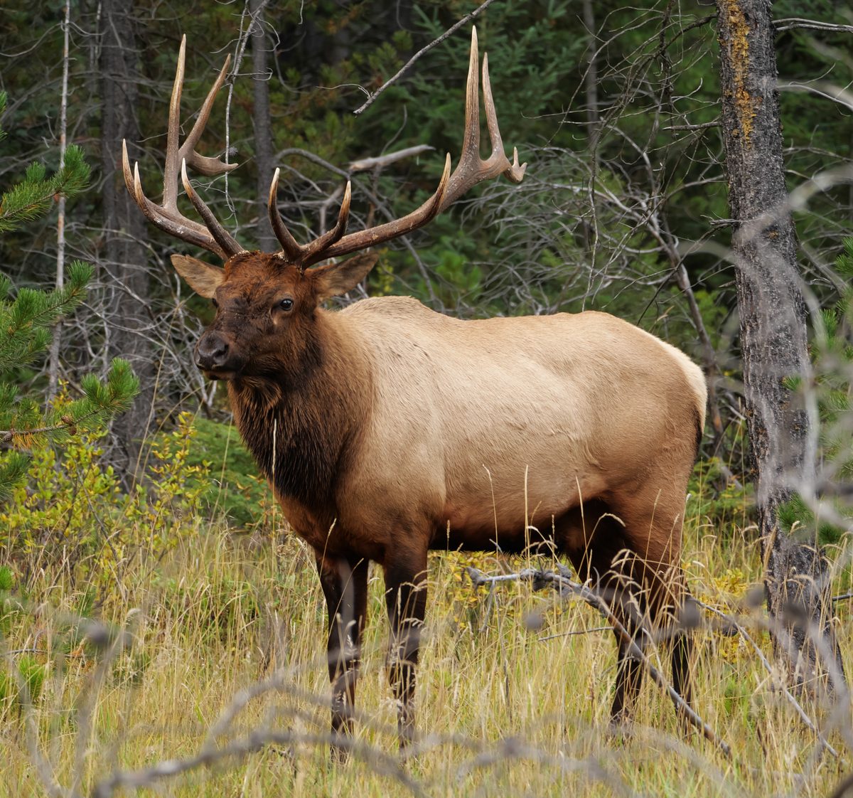
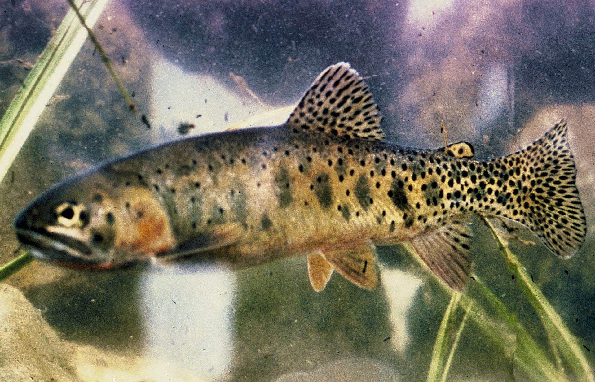
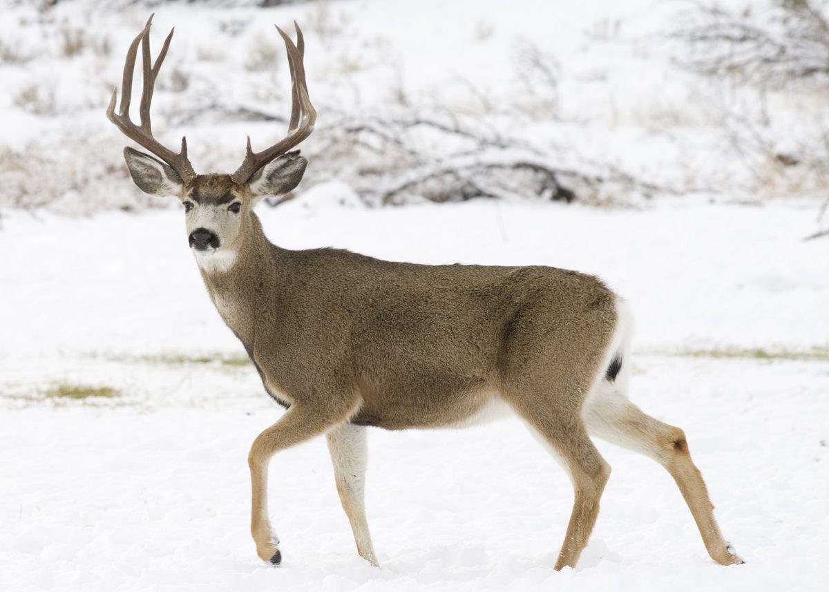
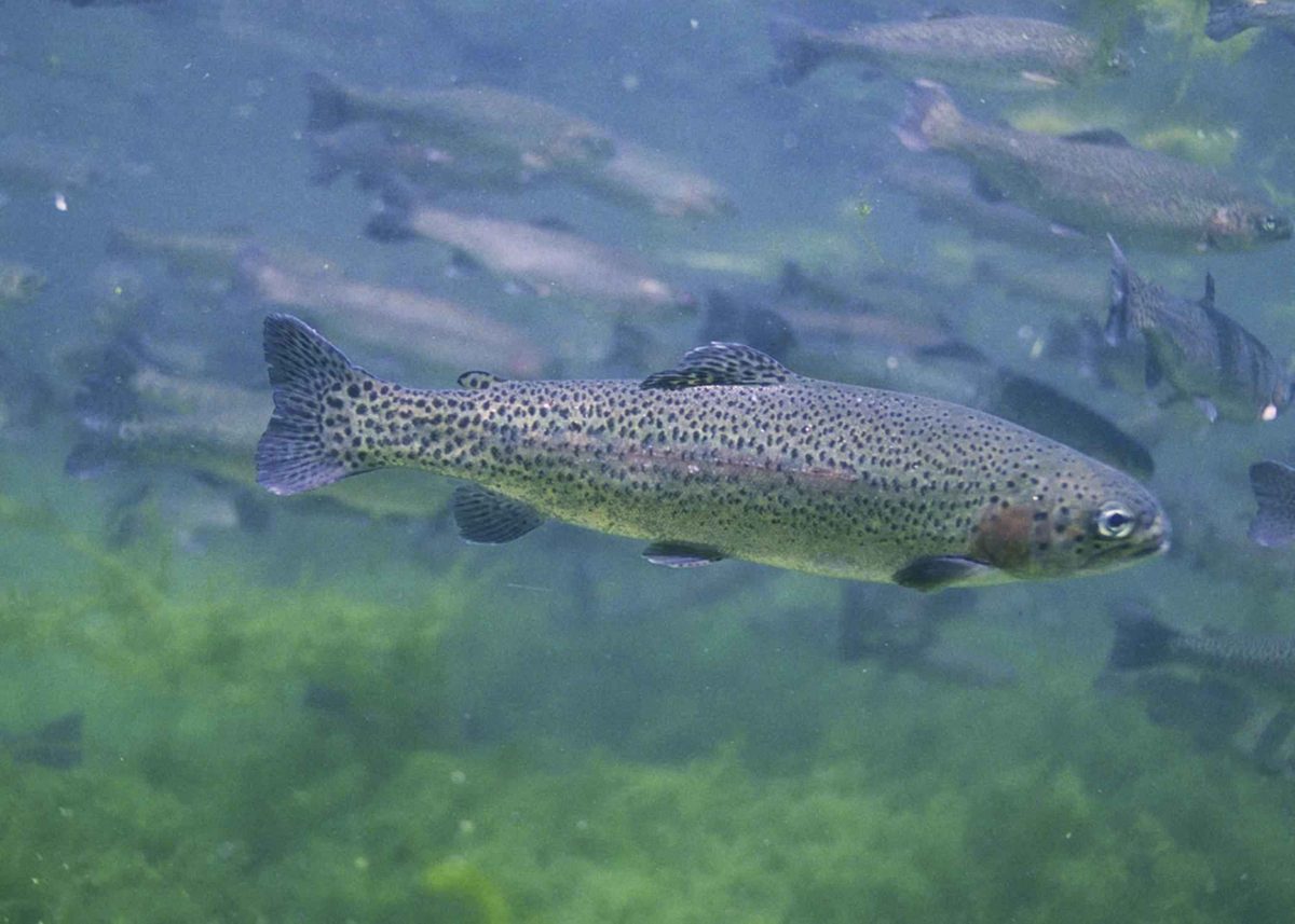
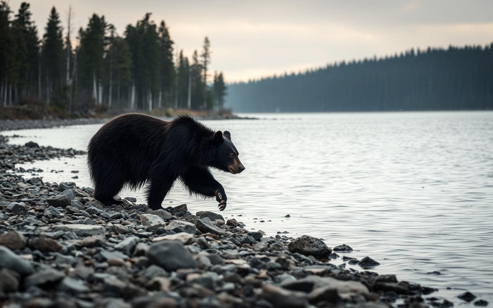
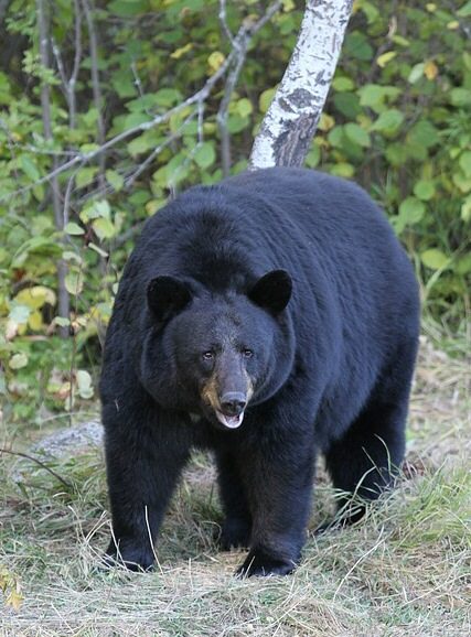
Animals around Frank Church-River of No Return


Idaho Setting
Frank Church–River of No Return is an Idaho destination, but a useful trip plan needs more than a statewide location. Idaho lies in the Pacific Northwest and Mountain West and contains several stretches of the Rocky Mountains. It is a large, relatively sparsely populated state, with distinct geographic and climatic regions. Those broad characteristics provide context, not reliable directions or a description of conditions at a particular trailhead. Do not use statewide geography to assume the terrain, accessibility, or travel time of a specific outing here. Before choosing an itinerary, establish the exact destination boundary, intended entry point, and responsible land manager. Those details are necessary to turn a general destination idea into a workable outdoor plan.
Access and Route Planning
Specific access points and routes cannot be identified reliably here. Rather than treating a nearby city or a named feature as a confirmed entrance, obtain destination-specific directions from the responsible land manager. Ask which access point serves the intended route, whether the approach suits the vehicle, and what current conditions mean for reaching it. Build the itinerary around confirmed information rather than an assumed distance or drive time. Route selection should also establish the starting point, endpoint, navigation requirements, and options for shortening the outing. Until those details are settled, there is no sound basis for assigning a difficulty rating or recommending a particular route. Keep transport arrangements flexible until the approach and return logistics are confirmed.
Conditions and Final Checks
Confirm permit requirements and any applicable fees with the managing agency before committing to a trip. No destination-specific permit terms, seasonal dates, or access restrictions are established here. Idaho's varied geography and climate make statewide assumptions a poor substitute for a forecast and condition report tied to the intended outing. Once a route is confirmed, use its terrain, expected conditions, and duration to decide on clothing, navigation equipment, drinking water, and emergency supplies. Ask the land manager about relevant local hazards rather than assuming that a general Idaho checklist covers the destination. Leave an itinerary with a trusted contact and set a clear return plan. A departure decision should rest on verified access, suitable conditions, and the group's actual capabilities.
Sample itineraries
- One-day visit planning outline · 1 day
For Frank Church-River of No Return, confirm a suitable access point and day route with the managing agency before committing to travel. This is a planning outline, not a verified itinerary.
- Two-day visit planning outline · 2 days
Before planning an overnight visit, confirm access, route suitability, camping rules, and current conditions with the managing agency. A specific route or overnight location cannot be responsibly recommended here.
Seasonal conditions
Spring
Timing not established
Destination-specific spring conditions are not established. Confirm access and route conditions before choosing travel dates.
Summer
Timing not established
A reliable summer travel window is not established. Check current destination conditions rather than assuming every route is accessible.
Fall
Timing not established
Destination-specific fall conditions are not established. Confirm that intended access points and routes remain suitable for the planned trip.
Winter
Timing not established
Winter access and travel suitability are not established. Obtain a destination-specific assessment before making plans.
| Season | Window | Conditions |
|---|---|---|
| Spring | Timing not established | Destination-specific spring conditions are not established. Confirm access and route conditions before choosing travel dates. |
| Summer | Timing not established | A reliable summer travel window is not established. Check current destination conditions rather than assuming every route is accessible. |
| Fall | Timing not established | Destination-specific fall conditions are not established. Confirm that intended access points and routes remain suitable for the planned trip. |
| Winter | Timing not established | Winter access and travel suitability are not established. Obtain a destination-specific assessment before making plans. |
Permits, fees & closures
Confirm permit requirements, fees, and reservation procedures with the managing agency.
Confirm current permits, fees, and closures with the managing agency before you go.
Hazards & regulations
- Destination-specific hazards are not established; obtain current safety information from the managing agency.
- Route difficulty and access conditions are unverified; do not treat these planning outlines as route guidance.
- Statewide geographic information is not sufficient to assess safety at a particular access point or along a route.
What to pack for Frank Church-River of No Return
- Verified destination map
- Managing agency contact information
- Current access and route information
- Confirmed itinerary
- Applicable agency rules
- Route-specific equipment checklist developed after conditions are confirmed
Frank Church-River of No Return FAQ
- Where is Frank Church-River of No Return?
- The destination is in Idaho, USA. Specific boundaries and approach directions are not established here.
- Which trailhead or access point should be used?
- No destination-specific access point can be verified here. Ask the managing agency for an approach appropriate to the intended activity and current conditions.
- What is the best season to visit?
- A destination-specific recommendation cannot be established. Choose dates after confirming seasonal access and conditions for the intended route.
- Are permits or reservations required?
- Confirm requirements directly with the managing agency before committing to travel.
- Are these ready-to-follow itineraries?
- No. They are planning outlines. Routes, access, overnight arrangements, and equipment needs must be verified before departure.