



Where on earth
Satellite imagery flying in from a world view to Pin Parvati Pass Trek (Himachal), India. Use the + / − buttons, or click the map to zoom with your scroll wheel; drag to pan and pinch to zoom on touch.
- Region
- India
- Biome
- Himalayan alpine (2,500–5,320 m)
- Best season
- August – September
- Difficulty
- moderate
- Backpacking
- Hiking
- Climbing
Key takeaways
- Biome: Himalayan alpine (2,500–5,320 m)
- Best season: August – September
- Difficulty: moderate
- Top activity: backpacking
Photos of Pin Parvati Pass Trek (Himachal)
Topic summary
A 10-day traverse over the 5,320 m Pin Parvati Pass from Kullu to Pin Valley — a serious high-altitude trek.
Key takeaways
- Difficulty: moderate
- Best season: August – September
Intended uses
backpacking
Climate suitability
Himalayan alpine (2,500–5,320 m)
Tools for a trip here
Picked for how, when and where you're going. Free, no signup.
- Sleep System Temp CalculatorCold nights: check your bag and pad add up to a safe sleep.
- Base Weight CalculatorEvery ounce is carried — total your kit and find your base weight.
- Pack Volume SizerSize the pack for your trip length and season.
- Water Purification MatrixTreat water from streams and lakes on trail.
- Layering CalculatorCold-season miles: layer for climbs and camp.
Plan with verified data
Pin Parvati Pass Trek (Himachal) trip tools
How to get there
Mud village on the Spiti side is the identified trek starting point. Confirm transport to Mud and the intended finish in the Parbati valley before setting an itinerary.
- Mud village
The identified starting point for the trek on the Spiti side, providing the route's orientation toward the Pin valley and the pass.
- Parbati valley
The lush valley on the Kullu side connected to the Pin valley by the pass. This is the opposite side of the crossing, not a specified roadhead; confirm the exact trek endpoint when planning.
Sources: Wikipedia · Wikivoyage. Confirm road and trailhead conditions with the managing agency before you leave.
Popular pursuits at Pin Parvati Pass Trek (Himachal)
- Backpacking
Multi-day travel with everything on your back — see the packing blocks below.
- Hiking
Day miles on marked trail, with route notes and trail links below.
- Climbing
Rock and alpine lines with approach beta.
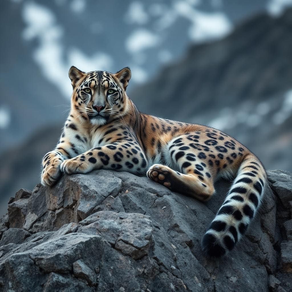
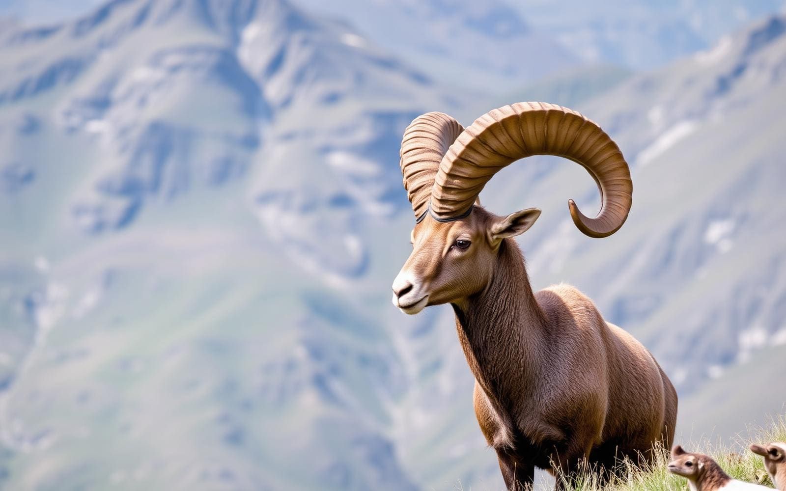
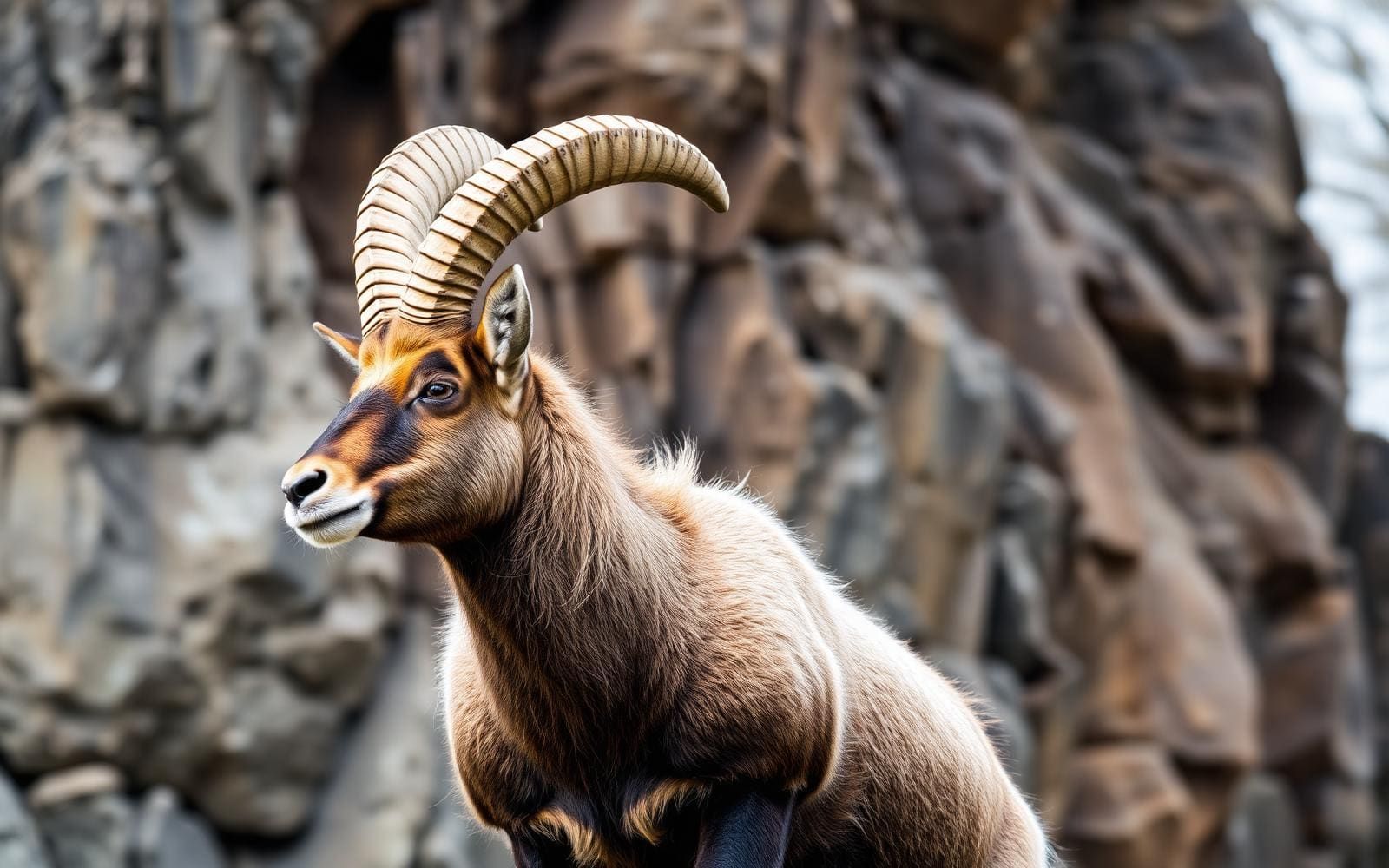
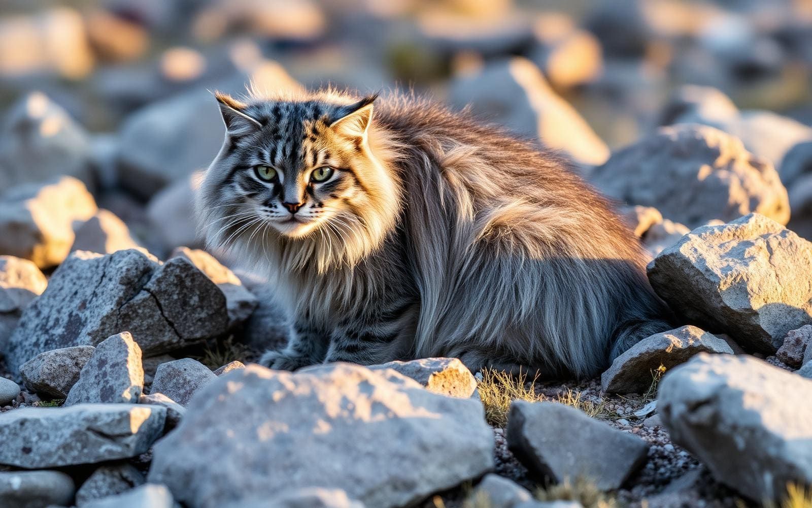
Animals around Pin Parvati Pass Trek (Himachal)
Maps, GPS & compass for this trip
Carry a waterproof paper map and a compass you can steer by, and treat the GPS as the backup — not the other way round. Buying links go to Amazon; Wild10 earns a commission at no cost to you.
Waterproof topo maps
- Waterproof topographic map — Pin Parvati Pass Trek (Himachal)Amazon search for waterproof, tear-resistant topo maps covering this area.
- National Geographic Trails IllustratedThe waterproof Trails Illustrated series — check for a sheet covering this area.
- Waterproof map case & compass lanyardKeep a paper map readable in rain, spray and a swamped boat.
Fishing at Pin Parvati Pass Trek (Himachal)
Planning to fish Pin Parvati Pass Trek (Himachal), India? Fishing licences, open seasons and catch limits in India are set by the local wildlife authority and change every year — check the official source before you cast a line.
Do I need a fishing licence at Pin Parvati Pass Trek (Himachal)?
- A India fishing licence is normally required for anyone over the local youth age.
- Read the current India fishing regulations for special waters, barbless-hook or catch-and-release rules.
- Clean, drain and dry boats and gear between waters to stop invasive species.
We don't have a verified licensing link on file for India yet — contact the park or land manager listed on this page for current hunting and fishing rules.
Hunting near Pin Parvati Pass Trek (Himachal)
Thinking about hunting Pin Parvati Pass Trek (Himachal), India? Hunting seasons, tags and draws in India are set by the wildlife authority each year. Confirm the rules for your species and unit before you go.
Is hunting allowed at Pin Parvati Pass Trek (Himachal)?
- Confirm the land around Pin Parvati Pass Trek (Himachal) is open to hunting and which management unit it falls in.
What do I need to hunt in India?
- A India hunting licence — most jurisdictions also require hunter education certification.
- Species tags or draw results for big game such as deer, elk, moose or bear where they occur.
- Knowledge of firearm and bow transport rules, which differ by land type and border crossing.
We don't have a verified licensing link on file for India yet — contact the park or land manager listed on this page for current hunting and fishing rules.
A high crossing between Kullu and Spiti
Pin Parvati Pass, also written Pin Parbati Pass, sits at 5,319 m (17,451 ft) in Himachal Pradesh, India. It connects the fertile, lush Parbati valley on the Kullu side with the barren, high-altitude Pin valley on the Spiti side. That contrast is the defining feature of the trek: the crossing links two markedly different mountain environments rather than simply reaching a high viewpoint. Plan around the demands of the pass itself, not just the greener valley approach. At this elevation, acclimatization, changing weather and the ability to turn back deserve serious attention. The route is best understood as a high-mountain undertaking whose suitability depends on the group's preparation and the conditions encountered, rather than on its popularity as a trekking route.
Route orientation and expedition scale
Mud village is the identified starting point on the Spiti side. From that orientation, the trek links the Pin valley with the Parbati valley across the pass. Keep the valley names and direction of travel clear when discussing an itinerary: Pin belongs to the Spiti side, while Parbati belongs to the Kullu side. An Army expedition attempted a 155 km route in 2013, but that figure describes that expedition's route and should not be treated as a universal distance for every trek using the pass. A practical plan needs confirmed start and finish points, a stage-by-stage itinerary and room for acclimatization. Establish those details before arranging transport or committing to a schedule; the pass elevation alone makes a rushed approach a poor basis for planning.
History and preparation
The pass has a history of local use as well as recorded exploration. Sir Louis Dane crossed it in August 1884 while looking for an alternate route to the Spiti valley. Shepherds from Spiti, however, were already using the crossing to take sheep to the lush grazing grounds of the Parvati valley. That distinction matters: the recorded crossing was not the beginning of travel here. Today the pass is a popular trekking route, but its pastoral history does not make its altitude less consequential. Prepare for the transition between a lush valley and a barren high-altitude landscape, carrying suitable weather protection and confirming water arrangements along the intended itinerary. Seek current local advice on conditions and allow the group's acclimatization to shape progress toward the crossing.
Route options
- Mud village–Pin Parvati Pass crossingHigh-altitude trekking across a 5,319 m pass; acclimatization and mountain preparation are essential.
Start from Mud village on the Spiti side and follow the crossing linking the high-altitude Pin valley with the lush Parbati valley on the Kullu side. Confirm the precise stages and endpoint before departure.
- 2013 Army expedition route155 km
A historical expedition attempted a 155 km route involving the pass in 2013. Treat this as expedition context, not a ready-to-follow itinerary or the standard length of the Mud village crossing.
Sample itineraries
- Mud village preparation day · 1 day
Use Mud village, the trek's Spiti-side starting point, for a preparation day. Confirm onward conditions and access locally, review equipment, and assess acclimatization before committing to higher terrain. This is a staging day, not a pass-crossing itinerary.
- Pin valley acclimatization day · 1 day
Allow a flexible day in the high-altitude Pin valley before attempting the pass. Keep activity modest and adjust plans to how everyone feels. One day does not guarantee adequate acclimatization; the full crossing needs a separately verified schedule.
Seasonal conditions
Spring
Confirm a suitable travel window locally.
Do not assume the 5,319 m pass is accessible because lower terrain is warmer. Verify snow and weather conditions before setting a departure date.
Summer
Confirm a suitable travel window locally.
Plan for high-altitude cold even during summer. Check current pass conditions rather than treating the season alone as evidence that a crossing is feasible.
Fall
Confirm a suitable travel window locally.
Verify current weather and snow conditions before committing. The contrast between lush Parbati valley and barren Pin valley calls for preparation for changing exposure and temperatures.
Winter
Confirm accessibility locally before planning.
Treat a winter crossing as a high-consequence undertaking, not a routine trekking option. Seek a current assessment of snow, cold, and pass accessibility.
| Season | Window | Conditions |
|---|---|---|
| Spring | Confirm a suitable travel window locally. | Do not assume the 5,319 m pass is accessible because lower terrain is warmer. Verify snow and weather conditions before setting a departure date. |
| Summer | Confirm a suitable travel window locally. | Plan for high-altitude cold even during summer. Check current pass conditions rather than treating the season alone as evidence that a crossing is feasible. |
| Fall | Confirm a suitable travel window locally. | Verify current weather and snow conditions before committing. The contrast between lush Parbati valley and barren Pin valley calls for preparation for changing exposure and temperatures. |
| Winter | Confirm accessibility locally before planning. | Treat a winter crossing as a high-consequence undertaking, not a routine trekking option. Seek a current assessment of snow, cold, and pass accessibility. |
Permits, fees & closures
Confirm current permit and access requirements with the managing agency before travel.
Confirm current permits, fees, and closures with the managing agency before you go.
Hazards & regulations
- Altitude illness: Pin Parvati Pass reaches 5,319 m. Build in acclimatization time, avoid ascending with symptoms, and descend if symptoms worsen.
- Cold and exposure: prepare for severe weather at pass elevation, regardless of temperatures lower in the valleys.
- Snow or ice may affect high mountain travel. Verify actual conditions and match equipment and experience to them.
- Overcommitting to a crossing: confirm the route and schedule locally, and leave room to delay or turn back.
What to pack for Pin Parvati Pass Trek (Himachal)
- Insulating layers
- Windproof and waterproof outer layers
- Warm hat and gloves
- Sun hat and sunglasses
- Supportive trekking footwear
- Offline navigation and backup map
- Headlamp with spare power
- Traction equipment if current conditions require it
- Water containers and water treatment
- Food with a contingency supply
- First-aid kit and personal medication
- Sunscreen
Pin Parvati Pass Trek (Himachal) FAQ
- Where is Pin Parvati Pass?
- The pass is in Himachal Pradesh, India. It connects the fertile, lush Parbati valley on the Kullu side with the barren, high-altitude Pin valley on the Spiti side.
- How high is the pass?
- Pin Parvati Pass stands at 5,319 m, or 17,451 ft. Acclimatization is a central planning concern, not an optional addition.
- Where does the Spiti-side trek start?
- Mud village is the Spiti-side starting point. Confirm onward access and the full route before leaving.
- Are Pin Parbati and Pin Parvati the same pass?
- Yes. Pin Parbati Pass and Pin Parvati Pass are alternative spellings for the same mountain pass.
- Are the one-day plans complete crossing itineraries?
- No. They are preparation and acclimatization components only. Obtain a locally verified crossing schedule that accounts for current conditions, route logistics, and the group's altitude experience.
- What landscape change defines the trek?
- The crossing links two contrasting valleys: lush, fertile Parbati on the Kullu side and barren, high-altitude Pin on the Spiti side.