



- Region
- Alaska, USA
- Best season
- Spring, Summer
- Permits
- Confirm permit requirements and access arr…
Plan with verified data
Katmai & Valley of Ten Thousand Smokes trip tools
Tools for a trip here
Picked for how, when and where you're going. Free, no signup.
Photos of Katmai & Valley of Ten Thousand Smokes
How to get there
Katmai & Valley of Ten Thousand Smokes is in Alaska, USA. Its center point is 58.2790, -155.1585. Use these links for live turn-by-turn directions from where you are, then confirm road, trailhead and access conditions with the managing agency before you leave.
- Katmai National Park and Preserve
The protected area containing Mount Martin on the Alaska Peninsula. Treat this as the broad access-planning area, not a specific trailhead; confirm arrival arrangements with the park.
- Valley of Ten Thousand Smokes
The named valley near Mount Martin. Confirm the appropriate arrival point and onward access before treating it as the start of a walking itinerary.
Alaska, USA · Season: Best: Jul-Sep
- Fishing
- Sea Kayaking
- Beachcombing
- Hiking
- Backpacking
- Wildlife Viewing
- Canoeing
The country
The Alaska Peninsula here was violently reshaped by the 1912 eruption of Novarupta, burying valleys beneath hundreds of feet of ash. Today, the Valley of Ten Thousand Smokes presents a barren, pumice-covered wasteland contrasting sharply with the area's explosive green coastal marshes.
Why enthusiasts come
While casual tourists visit for bear watching at Brooks Camp, serious backpackers venture onto the ash plains for a surreal, lunar trekking experience. The sheer oddity of deep river canyons carved through ignimbrite tuff draws geology enthusiasts worldwide.
Top experiences
Fording the Lethe River to hike the barren ash plains offers an incredibly disorienting but rewarding traverse of recent volcanic destruction. Coastal wilderness camping along the Katmai coast guarantees daily sightings of massive brown bears foraging for clams.
Planner-relevant notes
Flights from Anchorage to King Salmon, followed by floatplanes, are required to access the backcountry zones. Water sources on the ash plains carry heavy silt loads and require extensive settling before filtration. High winds frequently sweep down the valleys, tearing apart weak tents.
Field notes
- Bear resistant food containers are strictly required everywhere in Katmai.
- Ash severely degrades zippers; keep gear sealed and lubricated.
- Navigating the valley in heavy fog relies entirely on GPS due to featureless terrain.
- Stand clear of riverbanks in the valley; the pumice walls are highly unstable.
Where on earth
Satellite imagery flying in from a world view to Katmai & Valley of Ten Thousand Smokes, Alaska, USA. Use the + / − buttons, or click the map to zoom with your scroll wheel; drag to pan and pinch to zoom on touch.
Coordinates
- Decimal degrees
- 58.2790, -155.1585
- Latitude (DMS)
- 58° 16′ 44.4″ N
- Longitude (DMS)
- 155° 9′ 30.6″ W
Coordinates are an access-point reference for Katmai & Valley of Ten Thousand Smokes, not a route. Carry a paper map and confirm trailhead or put-in access with the managing agency before you go.
Topic summary
This remote volcanic landscape hosts the continent's densest grizzly bear populations alongside the otherworldly ash plains of the 1912 Novarupta eruption.
Key takeaways
- Region: Alaska, USA
- Best season: Best: Jul-Sep
- Coordinates: 58.279, -155.159
Climate suitability
Best: Jul-Sep
Keep planning
Popular pursuits at Katmai & Valley of Ten Thousand Smokes
- Fishing
Resident gamefish, seasons, and the water that holds them.
- Sea Kayaking
Coastal crossings, tides, and protected camps.
- Beachcombing
Tide-line walking between camps.
- Hiking
Day miles on marked trail, with route notes and trail links below.
- Backpacking
Multi-day travel with everything on your back — see the packing blocks below.
- Wildlife Viewing
Best light, best season, and where animals move.
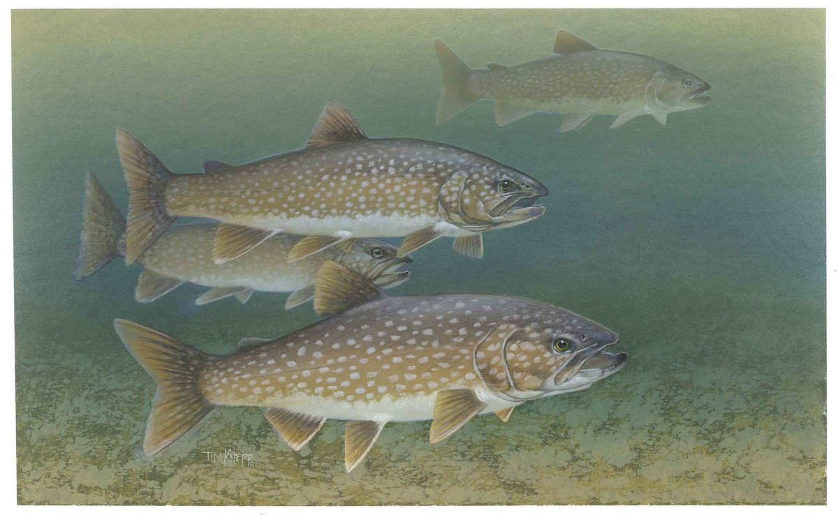
Animals around Katmai & Valley of Ten Thousand Smokes







A volcanic landscape on the Alaska Peninsula
Katmai National Park and Preserve lies on the Alaska Peninsula, with the Valley of Ten Thousand Smokes among its volcanic landscapes. Mount Martin is one of the volcanoes near the valley and provides a useful focus for understanding the surrounding terrain. It is a stratovolcano perched on a ridge, with a cone that rises about 500 metres above that ridge. That figure describes its local relief, not its elevation above sea level or the climbing gain of an established route. For trip planning, distinguish between visiting the valley and approaching an individual volcano: they are different objectives, and the presence of a named summit does not establish a usable hiking route. Confirm practical access and current conditions with the park before building an itinerary around either.
Mount Martin’s crater and geothermal features
Mount Martin’s summit crater is about 300 metres wide and breached to the southeast. Geothermal heat often keeps the crater ice-free, and an acidic lake appears there intermittently. Intense fumarolic activity produces extensive sulfur deposits within the crater. These features make the summit a geothermal environment rather than an ordinary mountain destination. An ice-free surface should not be read as evidence that the area is safe to cross, and the lake should not be treated as a drinking-water source. Keep clear of fumaroles and acidic water, and seek current guidance before considering a close approach. The southeast breach is a description of the crater’s shape, not a confirmed entrance or recommended ascent line. Any summit objective needs separate assessment of access, conditions, and volcanic hazards.
Volcanic history and what it means for planning
Mount Martin is relatively young and partly overlies deposits from the nearby Alagogshak volcanic edifice. Its name honors George C. Martin, the first person to visit the Valley of Ten Thousand Smokes after the 1912 eruption of Novarupta. An eruption attributed to Mount Martin in 1953 is now considered questionable, and no other confirmed eruptive activity has taken place there. That history should not be confused with an absence of geothermal activity: the summit crater has intense fumaroles, sulfur deposits, and an intermittent acidic lake. Build plans around the distinction between eruption history and present ground-level hazards. A valley-focused visit need not include a crater approach, and interest in the geology is not a reason to move closer to active geothermal features.
Route options
- Valley of Ten Thousand Smokes
A valley-focused planning objective associated with the aftermath of Novarupta’s 1912 eruption. No specific walking line is established here; arrange access and obtain route guidance before setting out.
- Mount Martin
A separate volcanic objective near the valley, not a confirmed hiking route. The summit crater contains intense fumaroles, sulfur deposits, and an intermittent acidic lake. Confirm whether an approach is appropriate; neither the ridge nor the southeast crater breach should be assumed to provide safe access.
Sample itineraries
- Valley of Ten Thousand Smokes: landscape day · 1 day
Build a day around the Valley of Ten Thousand Smokes and its connection to Novarupta’s 1912 eruption. Confirm access and a suitable outing with Katmai National Park and Preserve before committing; this is a planning outline, not a verified day route.
- Valley and volcanic context · 2 days
Plan one day focused on the Valley of Ten Thousand Smokes and another on understanding the surrounding volcanoes, including Mount Martin. Arrange suitable access with the managing agency. Do not treat Mount Martin’s summit crater as an established hiking destination.
Seasonal conditions
Spring
Confirm locally before travel
Check snow, ice, and access conditions before choosing an outing. Mount Martin’s crater is often ice-free because of geothermal heat; bare ground there does not establish safe travel conditions.
Summer
Confirm locally before travel
Do not assume summer makes volcanic terrain safe. Mount Martin has intense summit fumarolic activity and an intermittent acidic crater lake. Confirm appropriate destinations and current conditions with park staff.
Fall
Confirm locally before travel
Base plans on current weather, snow, and access information rather than a fixed seasonal schedule. Geothermal heat at Mount Martin’s crater is not evidence of safe footing or a suitable route.
Winter
Confirm locally before travel
Confirm cold-weather travel requirements and whether the intended outing is practical. An often ice-free summit crater does not mean surrounding ridges are ice-free or accessible.
| Season | Window | Conditions |
|---|---|---|
| Spring | Confirm locally before travel | Check snow, ice, and access conditions before choosing an outing. Mount Martin’s crater is often ice-free because of geothermal heat; bare ground there does not establish safe travel conditions. |
| Summer | Confirm locally before travel | Do not assume summer makes volcanic terrain safe. Mount Martin has intense summit fumarolic activity and an intermittent acidic crater lake. Confirm appropriate destinations and current conditions with park staff. |
| Fall | Confirm locally before travel | Base plans on current weather, snow, and access information rather than a fixed seasonal schedule. Geothermal heat at Mount Martin’s crater is not evidence of safe footing or a suitable route. |
| Winter | Confirm locally before travel | Confirm cold-weather travel requirements and whether the intended outing is practical. An often ice-free summit crater does not mean surrounding ridges are ice-free or accessible. |
Permits, fees & closures
Confirm permit requirements and access arrangements with Katmai National Park and Preserve.
Confirm current permits, fees, and closures with the managing agency before you go.
Hazards & regulations
- Mount Martin’s summit crater has intense fumarolic activity. Avoid approaching steam and gas vents.
- Geothermal heat often keeps Mount Martin’s crater ice-free. Do not interpret exposed ground as a safe place to walk.
- Mount Martin’s intermittent crater lake is acidic; avoid contact with its water.
- Volcanic eruptions can be devastating. Check current volcanic guidance before travel; Mount Martin’s uncertain eruption history is not a safety guarantee.
What to pack for Katmai & Valley of Ten Thousand Smokes
- Insulating layers suited to the current forecast
- Windproof and waterproof outer layers
- Gloves and warm headwear
- Navigation tools appropriate to the confirmed outing
- First-aid supplies
- Drinking water; do not use acidic crater water
- Footwear appropriate to confirmed terrain and conditions
Katmai & Valley of Ten Thousand Smokes FAQ
- Where is Mount Martin?
- Mount Martin is a stratovolcano on the Alaska Peninsula within Katmai National Park and Preserve. It is one of the volcanoes near the Valley of Ten Thousand Smokes.
- What connects the valley to Novarupta?
- The valley’s history is tied to Novarupta’s 1912 eruption. Mount Martin is named for George C. Martin, the first person to visit the Valley of Ten Thousand Smokes after that eruption.
- Has Mount Martin erupted?
- A reported 1953 eruption is considered questionable, and no other confirmed eruptive activity is recorded here. Nevertheless, its summit crater has intense fumarolic activity.
- What is distinctive about Mount Martin’s crater?
- The summit crater is about 300 metres wide and breached to the southeast. Geothermal heat often keeps it ice-free. It contains an intermittent acidic lake, and its fumaroles produce extensive sulfur deposits.
- Can Mount Martin be treated as a straightforward summit hike?
- Do not assume so. Its cone rises about 500 metres above the surrounding ridge, but that says nothing about route difficulty or access. Confirm suitable routes with park staff and account for the crater’s geothermal hazards.