



Where on earth
Satellite imagery flying in from a world view to Chadar Trek (Frozen River), India. Use the + / − buttons, or click the map to zoom with your scroll wheel; drag to pan and pinch to zoom on touch.
- Region
- India
- Biome
- Trans-Himalayan river ice (3,300–3,900 m)
- Best season
- January – February
- Difficulty
- moderate
- Backpacking
- Hiking
- Winter Camping
- Skiing
- Canoeing
- Fishing
Key takeaways
- Biome: Trans-Himalayan river ice (3,300–3,900 m)
- Best season: January – February
- Difficulty: moderate
- Top activity: backpacking
Photos of Chadar Trek (Frozen River)
Topic summary
A 6-day walk on the frozen Zanskar River — India's most iconic winter trek.
Key takeaways
- Difficulty: moderate
- Best season: January – February
Intended uses
backpacking
Climate suitability
Trans-Himalayan river ice (3,300–3,900 m)
Tools for a trip here
Picked for how, when and where you're going. Free, no signup.
- Sleep System Temp CalculatorCold nights: check your bag and pad add up to a safe sleep.
- Base Weight CalculatorEvery ounce is carried — total your kit and find your base weight.
- Pack Volume SizerSize the pack for your trip length and season.
- Water Purification MatrixTreat water from streams and lakes on trail.
- Layering CalculatorCold-season miles: layer for climbs and camp.
Plan with verified data
Chadar Trek (Frozen River) trip tools
How to get there
The Nimmu–Padum–Darcha road connects Nimmu in Ladakh’s Indus Valley with Padum in Zanskar and Darcha in Himachal Pradesh’s Lahul and Spiti. It is a regional transport connection, not a confirmed approach to a Chadar trailhead. Confirm the actual trek meeting point, winter road conditions, and onward transfer arrangements before travelling.
- Nimmu
Indus Valley endpoint of the Nimmu–Padum–Darcha road. Useful for regional orientation; not established here as a frozen-river entry point.
- Padum
Capital of Zanskar and a town on the road linking Nimmu with Darcha. Its position on the highway does not establish direct access to the Chadar Trek.
- Darcha
Village in Lahul and Spiti at the Himachal Pradesh end of the Nimmu–Padum–Darcha road. A regional road connection rather than a confirmed Chadar starting point.
Sources: Wikipedia · Wikivoyage. Confirm road and trailhead conditions with the managing agency before you leave.
Popular pursuits at Chadar Trek (Frozen River)
- Backpacking
Multi-day travel with everything on your back — see the packing blocks below.
- Hiking
Day miles on marked trail, with route notes and trail links below.
- Winter Camping
Cold-season travel and camp craft; layering matters more than mileage.
- Skiing
Ski-touring access when the road closes for the season.
- Canoeing
Paddle routes, portages, and put-ins.
- Fishing
Resident gamefish, seasons, and the water that holds them.
Animals around Chadar Trek (Frozen River)
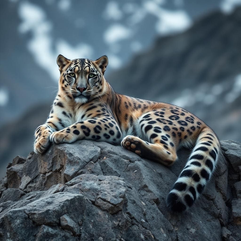
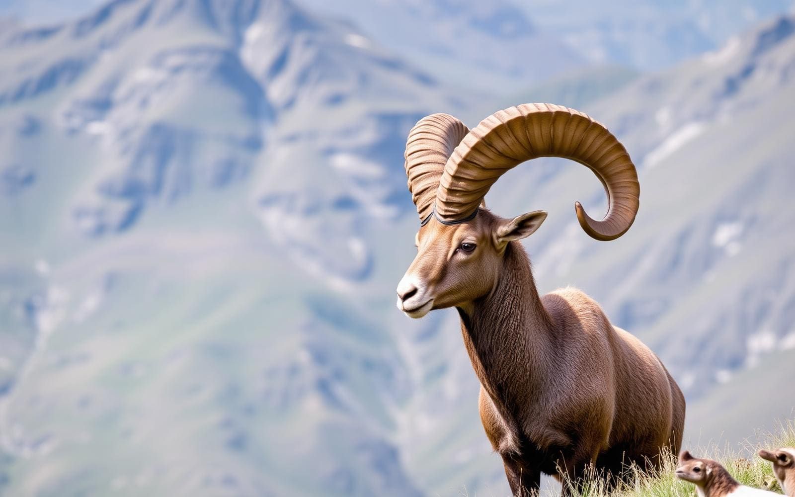
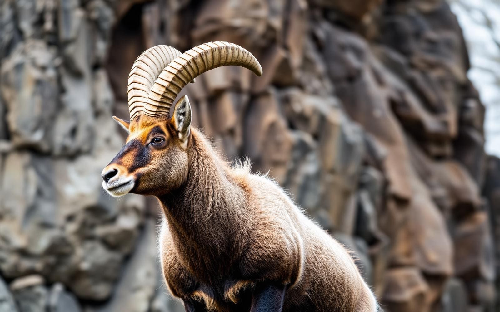
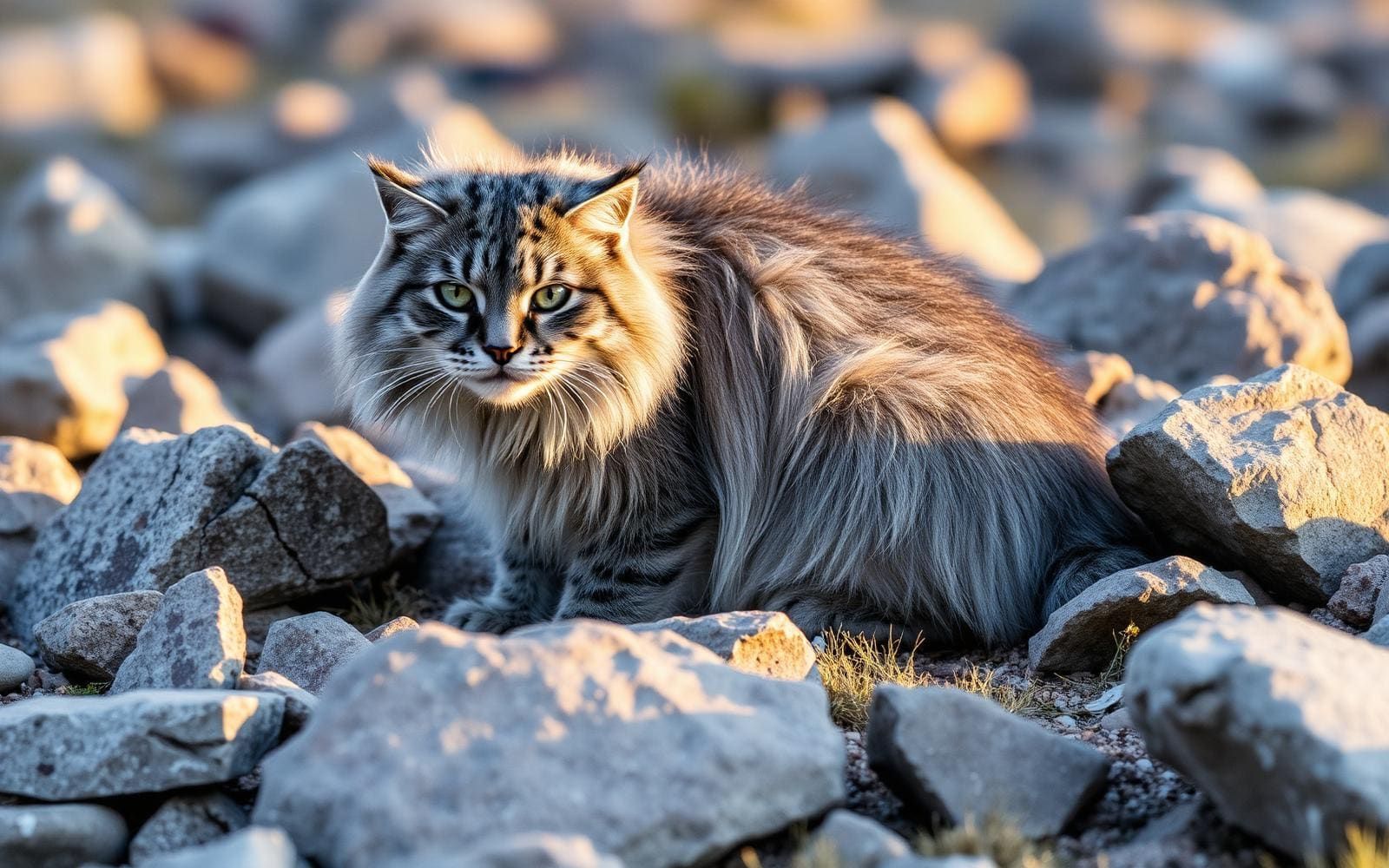
Maps, GPS & compass for this trip
Carry a waterproof paper map and a compass you can steer by, and treat the GPS as the backup — not the other way round. Buying links go to Amazon; Wild10 earns a commission at no cost to you.
Waterproof topo maps
- Waterproof topographic map — Chadar Trek (Frozen River)Amazon search for waterproof, tear-resistant topo maps covering this area.
- National Geographic Trails IllustratedThe waterproof Trails Illustrated series — check for a sheet covering this area.
- Waterproof map case & compass lanyardKeep a paper map readable in rain, spray and a swamped boat.
Fishing at Chadar Trek (Frozen River)
Planning to fish Chadar Trek (Frozen River), India? Fishing licences, open seasons and catch limits in India are set by the local wildlife authority and change every year — check the official source before you cast a line.
Do I need a fishing licence at Chadar Trek (Frozen River)?
- A India fishing licence is normally required for anyone over the local youth age.
- Read the current India fishing regulations for special waters, barbless-hook or catch-and-release rules.
- Clean, drain and dry boats and gear between waters to stop invasive species.
We don't have a verified licensing link on file for India yet — contact the park or land manager listed on this page for current hunting and fishing rules.
Hunting near Chadar Trek (Frozen River)
Thinking about hunting Chadar Trek (Frozen River), India? Hunting seasons, tags and draws in India are set by the wildlife authority each year. Confirm the rules for your species and unit before you go.
Is hunting allowed at Chadar Trek (Frozen River)?
- Confirm the land around Chadar Trek (Frozen River) is open to hunting and which management unit it falls in.
What do I need to hunt in India?
- A India hunting licence — most jurisdictions also require hunter education certification.
- Species tags or draw results for big game such as deer, elk, moose or bear where they occur.
- Knowledge of firearm and bow transport rules, which differ by land type and border crossing.
We don't have a verified licensing link on file for India yet — contact the park or land manager listed on this page for current hunting and fishing rules.
Chadar in its regional setting
Plan the Chadar Trek as a destination within the wider mountain geography of Ladakh and Zanskar, rather than treating regional road access as a complete trekking itinerary. Ladakh is a mountainous union territory in northern India, with settled communities between 2,700 and 4,500 metres and nomadic encampments higher still. Those figures describe the region, not the elevation profile of the trek. Zanskar’s capital is Padum, which sits on the Nimmu–Padum–Darcha road connecting the Indus Valley with Himachal Pradesh. This provides useful geographic orientation, but it does not establish a frozen-river entry point, walking distance, or usable winter approach. Keep those distinctions clear when arranging transport: reaching the wider region and reaching a suitable starting point for the trek are separate planning tasks.
Road connections and their limits
The Nimmu–Padum–Darcha road, also called the Zanskar Highway, links Nimmu in the Indus Valley with Padum and Darcha village in Lahul and Spiti. The full road is described as a 298-kilometre, two-lane paved connection between Ladakh and Himachal Pradesh, built by the Border Roads Organisation. It offers an alternative regional link to the Leh–Manali Highway. That full-road distance should not be used as a distance to the Chadar Trek or as a measure of walking on the frozen river. Nor should a completed paved road be taken to mean dependable winter passage: the road’s all-weather role is tied to tunnel infrastructure. Confirm the usable approach and current road conditions before committing to a transfer, and leave flexibility for mountain travel.
Preparing for a mountain trip
Ladakh’s high settlements and mountainous terrain call for conservative preparation. Allow time to adjust to altitude, carry clothing suited to cold mountain conditions, and make transport plans that can accommodate weather changes. Regional geography alone is not enough to choose a frozen-river route or judge whether a departure is appropriate. Before booking, establish the exact starting point, proposed walking stages, local conditions, and arrangements for changing or abandoning the itinerary. Confirm permit requirements with the managing agency. The regional road connections listed here are orientation options, not verified Chadar walking routes or river access points. Use them to understand where Nimmu, Padum, and Darcha fit into the wider journey, while keeping trek-specific logistics separate from general travel through Ladakh and Zanskar.
Route options
- Nimmu–Padum regional road connection
The portion of the Zanskar Highway linking the Indus Valley with Zanskar’s capital. This is a road connection for geographic orientation, not a Chadar trekking itinerary; winter usability and onward trek access need confirmation.
- Darcha–Padum regional road connection
The connection from Darcha in Himachal Pradesh to Padum along the Nimmu–Padum–Darcha road. Do not assume all-weather passage or direct access to the frozen-river trek.
Sample itineraries
- Leh-based preparation · 1 day
Use a planning day in Leh to confirm current Chadar access, managing-agency requirements and river conditions before committing to travel. Review cold-weather equipment and altitude readiness. This is a preparation outline, not a trekking schedule or sufficient acclimatization period.
- Zanskar travel planning · 2 days
Allow two planning days to check onward transport and assess whether a frozen-river trip is feasible. Nimmu, Padum and Darcha are linked by the Nimmu–Padum–Darcha road, but road connectivity does not establish trek access. Keep the walking itinerary uncommitted until local conditions and authorized access are confirmed.
Seasonal conditions
Spring
Spring; confirm conditions locally
Do not assume a frozen-river route remains usable as temperatures change. Confirm whether the Chadar is accessible before arranging onward travel; no reliable spring trekking window can be specified here.
Summer
Summer; no frozen-river window established
Treat summer travel in Ladakh separately from a frozen-river trek. Regional road connections are not evidence of walkable river ice. Confirm appropriate local alternatives rather than planning a Chadar crossing.
Fall
Fall; confirm ice and access locally
Cold mountain weather alone does not establish safe river ice. Avoid fixing a trek departure around the season name; obtain current access and condition information before committing.
Winter
Winter; exact operating dates require confirmation
Prepare for cold exposure and high-altitude travel. A winter date is not a guarantee of continuous or safe ice. Confirm current river conditions, access and local requirements before departure.
| Season | Window | Conditions |
|---|---|---|
| Spring | Spring; confirm conditions locally | Do not assume a frozen-river route remains usable as temperatures change. Confirm whether the Chadar is accessible before arranging onward travel; no reliable spring trekking window can be specified here. |
| Summer | Summer; no frozen-river window established | Treat summer travel in Ladakh separately from a frozen-river trek. Regional road connections are not evidence of walkable river ice. Confirm appropriate local alternatives rather than planning a Chadar crossing. |
| Fall | Fall; confirm ice and access locally | Cold mountain weather alone does not establish safe river ice. Avoid fixing a trek departure around the season name; obtain current access and condition information before committing. |
| Winter | Winter; exact operating dates require confirmation | Prepare for cold exposure and high-altitude travel. A winter date is not a guarantee of continuous or safe ice. Confirm current river conditions, access and local requirements before departure. |
Permits, fees & closures
Confirm current Chadar Trek permissions and access requirements with the managing agency before booking.
Confirm current permits, fees, and closures with the managing agency before you go.
Hazards & regulations
- Altitude: Ladakh’s settled population lives between 2,700 and 4,500 metres. Allow for acclimatization and avoid treating arrival as readiness for strenuous walking.
- Cold exposure: a frozen-river trip requires insulation, protection from wind and a way to keep essential clothing dry.
- Ice safety: do not infer load-bearing ice from cold weather or the trek’s name. Obtain a current local assessment before stepping onto the river.
- Transport uncertainty: regional road connectivity does not guarantee access to the trek or all-weather passage. Verify onward travel before leaving.
What to pack for Chadar Trek (Frozen River)
- Insulating base and midlayers
- Warm outer insulation
- Wind-resistant shell
- Insulated gloves and warm hat
- Spare dry socks
- Cold-weather footwear matched to locally confirmed conditions
- Waterproof bags for clothing and essential equipment
- Traction equipment selected with local advice
- Personal medications
- Basic first-aid kit
- Sun protection and sunglasses
- Insulated drinking container
- Headlamp and spare batteries
Chadar Trek (Frozen River) FAQ
- Where is the Chadar Trek destination?
- The trip belongs to the Ladakh and Zanskar travel context in India. Ladakh is a mountainous union territory; Leh is a regional travel hub, while Padum is the capital of Zanskar. Confirm the actual trek access point rather than assuming these places are trailheads.
- How many days does the trek take?
- A dependable walking duration cannot be specified here. The outlines above cover preparation only. Obtain a current route, daily stages and contingency plan before choosing a trip length.
- When is the river safe to walk on?
- There is no calendar-based guarantee. Confirm current ice conditions and authorized access locally; winter weather by itself does not establish a safe walking surface.
- Does the Nimmu–Padum–Darcha road provide trek access?
- The road connects Nimmu in the Indus Valley, Padum in Zanskar and Darcha in Lahul and Spiti. That connection does not identify a Chadar trailhead or establish current trek access. Confirm the required transfer separately.
- Is acclimatization necessary?
- Plan for altitude rather than rushing into strenuous activity. Ladakh’s settlements lie at substantial elevations, and individual responses vary. A short preparation stop should not be treated as proof of acclimatization.