



Where on earth
Satellite imagery flying in from a world view to Markha Valley Trek (Ladakh), India. Use the + / − buttons, or click the map to zoom with your scroll wheel; drag to pan and pinch to zoom on touch.
- Region
- India
- Biome
- Trans-Himalayan (3,500–5,150 m)
- Best season
- June – September
- Difficulty
- moderate
- Backpacking
- Hiking
Key takeaways
- Biome: Trans-Himalayan (3,500–5,150 m)
- Best season: June – September
- Difficulty: moderate
- Top activity: backpacking
Photos of Markha Valley Trek (Ladakh)
Topic summary
A 6-8 day trek through the Markha Valley — homestays, chortens, and 5,000 m passes below Kang Yatse.
Key takeaways
- Difficulty: moderate
- Best season: June – September
Intended uses
backpacking
Climate suitability
Trans-Himalayan (3,500–5,150 m)
Tools for a trip here
Picked for how, when and where you're going. Free, no signup.
- Sleep System Temp CalculatorCold nights: check your bag and pad add up to a safe sleep.
- Base Weight CalculatorEvery ounce is carried — total your kit and find your base weight.
- Pack Volume SizerSize the pack for your trip length and season.
- Water Purification MatrixTreat water from streams and lakes on trail.
- Layering CalculatorCold-season miles: layer for climbs and camp.
Plan with verified data
Markha Valley Trek (Ladakh) trip tools
How to get there
The western approach is via Ganda La near Spituk, the usual beginning of the trek. Gongmaru La near Hemis is the usual finishing side. Confirm the precise road-access locations and onward transport before setting the walking itinerary.
- Ganda La near Spituk
Western pass access to the Markha Valley and the usual beginning side of the trek.
- Gongmaru La near Hemis
Pass access on the usual finishing side of the Markha Valley Trek.
Sources: Wikipedia · Wikivoyage. Confirm road and trailhead conditions with the managing agency before you leave.
Popular pursuits at Markha Valley Trek (Ladakh)
- Backpacking
Multi-day travel with everything on your back — see the packing blocks below.
- Hiking
Day miles on marked trail, with route notes and trail links below.
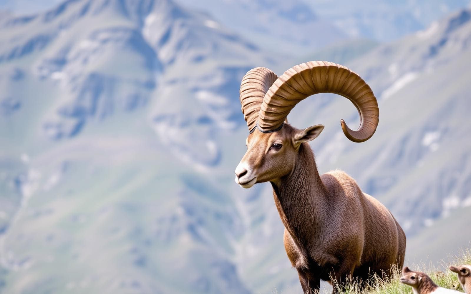
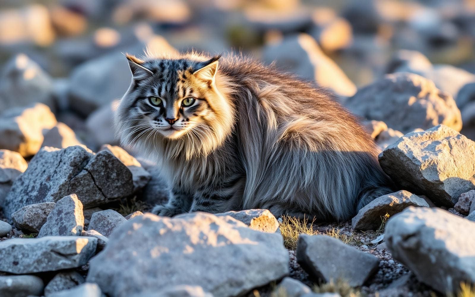
Animals around Markha Valley Trek (Ladakh)


Maps, GPS & compass for this trip
Carry a waterproof paper map and a compass you can steer by, and treat the GPS as the backup — not the other way round. Buying links go to Amazon; Wild10 earns a commission at no cost to you.
Waterproof topo maps
- Waterproof topographic map — Markha Valley Trek (Ladakh)Amazon search for waterproof, tear-resistant topo maps covering this area.
- National Geographic Trails IllustratedThe waterproof Trails Illustrated series — check for a sheet covering this area.
- Waterproof map case & compass lanyardKeep a paper map readable in rain, spray and a swamped boat.
Fishing at Markha Valley Trek (Ladakh)
Planning to fish Markha Valley Trek (Ladakh), India? Fishing licences, open seasons and catch limits in India are set by the local wildlife authority and change every year — check the official source before you cast a line.
Do I need a fishing licence at Markha Valley Trek (Ladakh)?
- A India fishing licence is normally required for anyone over the local youth age.
- Read the current India fishing regulations for special waters, barbless-hook or catch-and-release rules.
- Clean, drain and dry boats and gear between waters to stop invasive species.
We don't have a verified licensing link on file for India yet — contact the park or land manager listed on this page for current hunting and fishing rules.
Hunting near Markha Valley Trek (Ladakh)
Thinking about hunting Markha Valley Trek (Ladakh), India? Hunting seasons, tags and draws in India are set by the wildlife authority each year. Confirm the rules for your species and unit before you go.
Is hunting allowed at Markha Valley Trek (Ladakh)?
- Confirm the land around Markha Valley Trek (Ladakh) is open to hunting and which management unit it falls in.
What do I need to hunt in India?
- A India hunting licence — most jurisdictions also require hunter education certification.
- Species tags or draw results for big game such as deer, elk, moose or bear where they occur.
- Knowledge of firearm and bow transport rules, which differ by land type and border crossing.
We don't have a verified licensing link on file for India yet — contact the park or land manager listed on this page for current hunting and fishing rules.
A river-valley trek in Ladakh
The Markha Valley Trek follows a river corridor in Ladakh, India, within Hemis National Park. The Markha River begins at the meeting of the Langtang Chu and Nimaling Chu and feeds the Zanskar River. Its valley lies south of the Stok range, giving the trek a setting shaped by both river valleys and high mountains. Villages along the river include Skiu, also spelled Skyu, Markha, Umlung and Hangkar, also spelled Hankar. These names are useful anchors when comparing route descriptions, especially where spellings differ. The trek is one of Ladakh’s most popular walking routes, but its defining geography is straightforward: a inhabited river valley approached and left through mountain passes.
Passes, villages and route orientation
The usual direction described for the trek begins in the west, using Ganda La near Spituk, and finishes by Gongmaru La near Hemis. Villages named along the trekking route are Rumbak, Shingo, Skyu, Sara, Markha and Hankar. Use that sequence to understand the broad line of travel rather than treating it as a fixed schedule of overnight stops. The river-valley village list also includes Umlung, so not every description will use the same set of landmarks. For planning, distinguish the western pass approach from the valley itself and the eastern pass exit. Confirm the exact start, finish and daily stages before arranging transport; the names Spituk and Hemis establish orientation, not precise vehicle drop-off or pickup locations.
Mountain setting and preparation
Towards the head of the valley stands Kang Yatze, a 6,400-metre mountain. To the north of the river, the Stok range includes Stok Kangri at 6,153 metres. These are surrounding mountain elevations, not stated elevations for the walking route or its passes. Ladakh’s settled population lives between 2,700 and 4,500 metres, with nomadic encampments higher still, making altitude an important consideration when preparing for travel here. Allow time to adjust before committing to demanding walking, and keep plans flexible if feeling unwell. Pack for changing mountain weather and establish water arrangements for the intended stages. Village names alone do not establish supplies or accommodation, so confirm those practical details rather than assuming every settlement provides trekking services.
Route options
- Ganda La–Markha Valley–Gongmaru La
The usual through-trek orientation starts from the western side near Spituk and finishes near Hemis. Villages named along the trek include Rumbak, Shingo, Skyu, Sara, Markha and Hankar; establish daily stages separately.
- Gongmaru La approach to Markha Valley
Gongmaru La near Hemis also provides access to the valley, although it is usually described as the trek’s exit. Use it as an alternative approach when discussing an itinerary, with the onward route and endpoint confirmed separately.
Sample itineraries
- Markha village and river valley · 1 day
A suggested local exploration day for trekkers already in Markha and acclimatized to altitude. Focus on the village and nearby river valley rather than a pass crossing. Choose an out-and-back distance that suits conditions and energy; this is not an approach itinerary.
- Skyu valley base · 2 days
A suggested two-day base plan for trekkers already in Skyu. Spend one day exploring the village setting and another walking along the Markha Valley route before returning. Confirm local trail conditions and overnight arrangements. This does not cover the full trek between Ganda La and Gongmaru La.
Seasonal conditions
Spring
Spring; confirm pass conditions locally
Plan conservatively in this high mountain setting. Valley conditions do not establish whether Ganda La or Gongmaru La is suitable to cross. Check weather and ground conditions before committing to either pass.
Summer
Summer; assess conditions before departure
Altitude remains a concern regardless of warmer weather. Build in acclimatization, carry sun protection and drinking water, and retain warm layers for exposed mountain terrain.
Fall
Fall; confirm current weather and access
Allow flexibility for cold weather and changing mountain conditions. Keep pass-crossing plans separate from lower-valley exploration, and verify overnight arrangements before leaving a village.
Winter
Winter; seek current local advice
Treat a winter journey as a high mountain undertaking, not a routine extension of a valley walk. Confirm route feasibility and support before departure; do not assume the usual trekking approaches are usable.
| Season | Window | Conditions |
|---|---|---|
| Spring | Spring; confirm pass conditions locally | Plan conservatively in this high mountain setting. Valley conditions do not establish whether Ganda La or Gongmaru La is suitable to cross. Check weather and ground conditions before committing to either pass. |
| Summer | Summer; assess conditions before departure | Altitude remains a concern regardless of warmer weather. Build in acclimatization, carry sun protection and drinking water, and retain warm layers for exposed mountain terrain. |
| Fall | Fall; confirm current weather and access | Allow flexibility for cold weather and changing mountain conditions. Keep pass-crossing plans separate from lower-valley exploration, and verify overnight arrangements before leaving a village. |
| Winter | Winter; seek current local advice | Treat a winter journey as a high mountain undertaking, not a routine extension of a valley walk. Confirm route feasibility and support before departure; do not assume the usual trekking approaches are usable. |
Permits, fees & closures
Confirm current trekking and Hemis National Park entry requirements with the managing agency before departure.
Confirm current permits, fees, and closures with the managing agency before you go.
Hazards & regulations
- High altitude: Ladakh's settlements range from 2,700 to 4,500 metres, with some encampments higher. Allow time to acclimatize and avoid pushing onward when unwell.
- Mountain weather: the route uses Ganda La and Gongmaru La. Carry protection against cold and changing weather, and reassess conditions before crossing.
- Sun exposure and dehydration: pace conservatively in the high mountain environment and carry sufficient drinking water and sun protection.
- Overambitious staging: named villages do not establish manageable daily distances. Confirm each stage locally rather than assuming a village-to-village walk will be short.
What to pack for Markha Valley Trek (Ladakh)
- Insulating layers
- Weatherproof outer layer
- Warm hat and gloves
- Supportive walking footwear
- Drinking-water containers
- Water treatment
- Sunscreen
- Sunglasses
- Sun hat
- Offline route information
- Backup power
- Headlamp
- First-aid kit
- Extra food
Markha Valley Trek (Ladakh) FAQ
- Where is the Markha Valley Trek?
- The Markha Valley is in Ladakh, India. Its river is a tributary of the Zanskar River and lies within Hemis National Park, south of the Stok range.
- Where does the usual route begin and end?
- The usual western approach is via Ganda La near Spituk. The trek commonly ends via Gongmaru La near Hemis. Confirm the exact approach, stages and current conditions before arranging transport.
- Which villages are on the trekking route?
- Named route villages include Rumbak, Shingo, Skyu, Sara, Markha and Hankar. Skyu is also written as Skiu, and Hankar as Hangkar. Umlung is another village along the river valley.
- Which mountains define the valley setting?
- Kang Yatze, at 6,400 metres, stands toward the head of the valley. The Markha River runs south of the Stok range, which includes the 6,153-metre Stok Kangri. These are mountain elevations, not stated trekking-route elevations.
- How should the full trek be staged?
- Set daily stages after confirming walking times, pass conditions, overnight options and acclimatization needs locally. The short plans here are village-based exploration suggestions, not a timetable for completing the full route.