



Where on earth
Satellite imagery flying in from a world view to Mera Peak (Nepal), Worldwide. Use the + / − buttons, or click the map to zoom with your scroll wheel; drag to pan and pinch to zoom on touch.
- Region
- Nepal
- Country
- Worldwide
- Biome
- Himalayan (5,300–6,476 m)
- Best season
- October – November, March – April
- Difficulty
- moderate
- Backpacking
- Hiking
- Mountaineering
Key takeaways
- Biome: Himalayan (5,300–6,476 m)
- Best season: October – November, March – April
- Difficulty: moderate
- Top activity: backpacking
Photos of Mera Peak (Nepal)
Topic summary
6,476-m trekking peak — the highest 'trekking peak' in Nepal.
Key takeaways
- Difficulty: moderate
- Best season: October – November, March – April
Intended uses
backpacking
Climate suitability
Himalayan (5,300–6,476 m)
Tools for a trip here
Picked for how, when and where you're going. Free, no signup.
- Sleep System Temp CalculatorCold nights: check your bag and pad add up to a safe sleep.
- Base Weight CalculatorEvery ounce is carried — total your kit and find your base weight.
- Pack Volume SizerSize the pack for your trip length and season.
- Water Purification MatrixTreat water from streams and lakes on trail.
- Layering CalculatorCold-season miles: layer for climbs and camp.
Plan with verified data
Mera Peak (Nepal) trip tools
How to get there
Kathmandu and Pokhara are places to arrange trekking services and equipment in Nepal. A Mera-specific transport connection, trailhead and approach itinerary must be confirmed separately.
- Kathmandu
A general Nepal trip-planning centre with guides, organised tours and trekking equipment for sale or rent; not identified here as a Mera trailhead.
- Pokhara
A Nepal trekking hub offering guides, tours and equipment. Its role as a planning centre does not establish a direct access route to Mera Peak.
Sources: Wikipedia · Wikivoyage. Confirm road and trailhead conditions with the managing agency before you leave.
Popular pursuits at Mera Peak (Nepal)
- Backpacking
Multi-day travel with everything on your back — see the packing blocks below.
- Hiking
Day miles on marked trail, with route notes and trail links below.
- Mountaineering
Glacier and high-route objectives with real consequence.
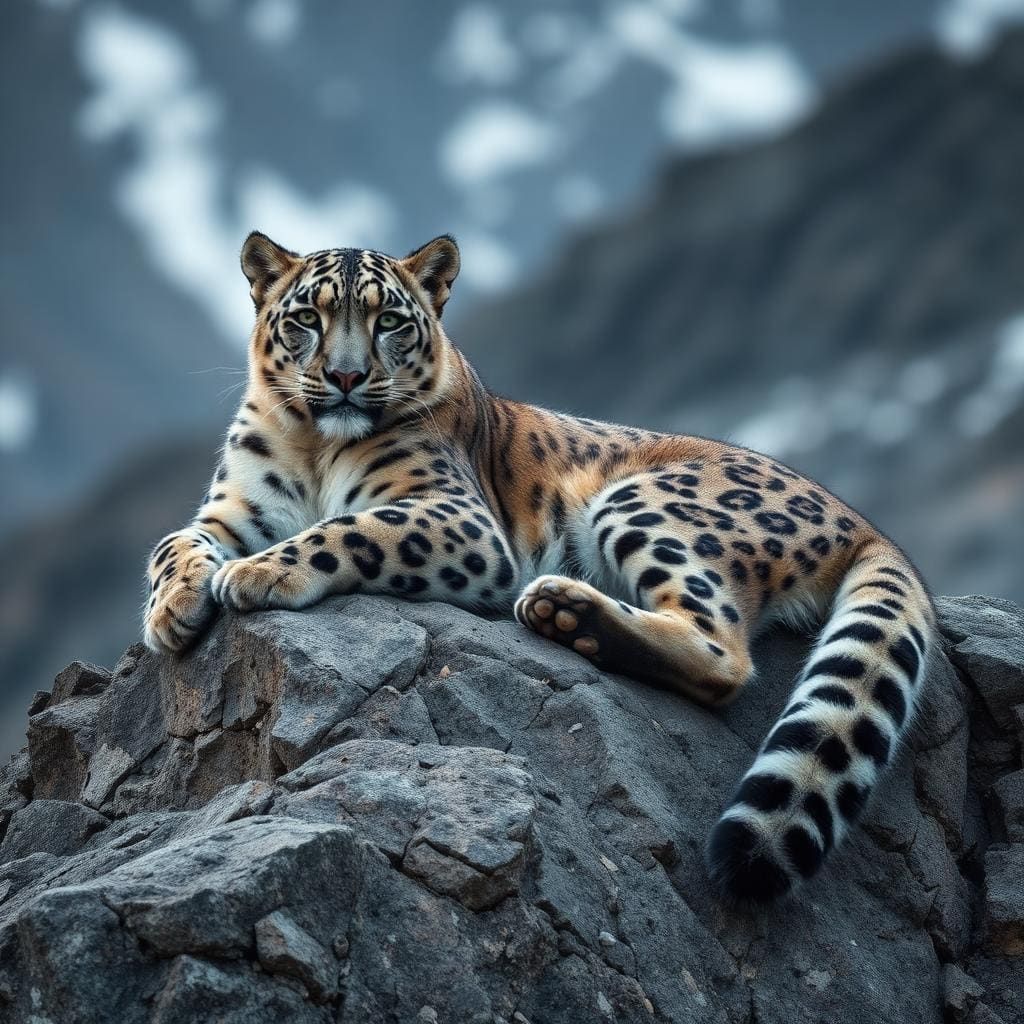
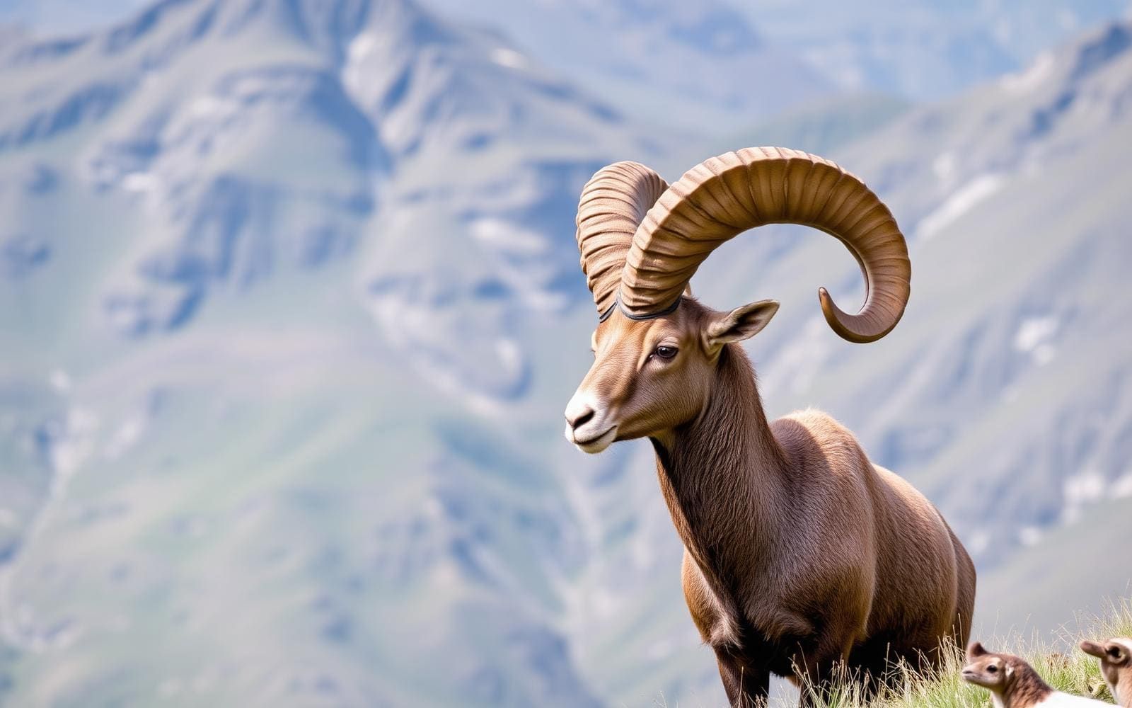
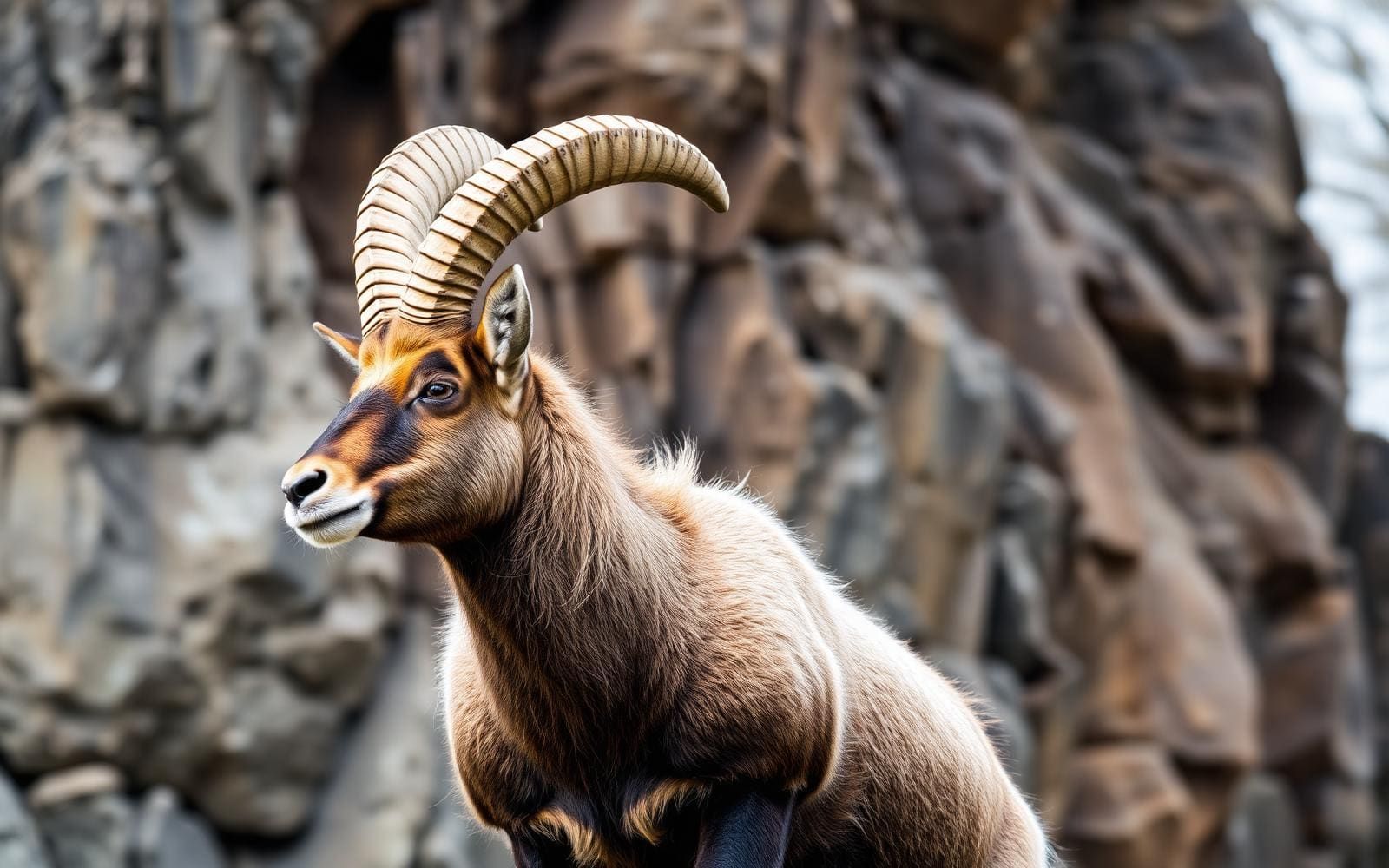
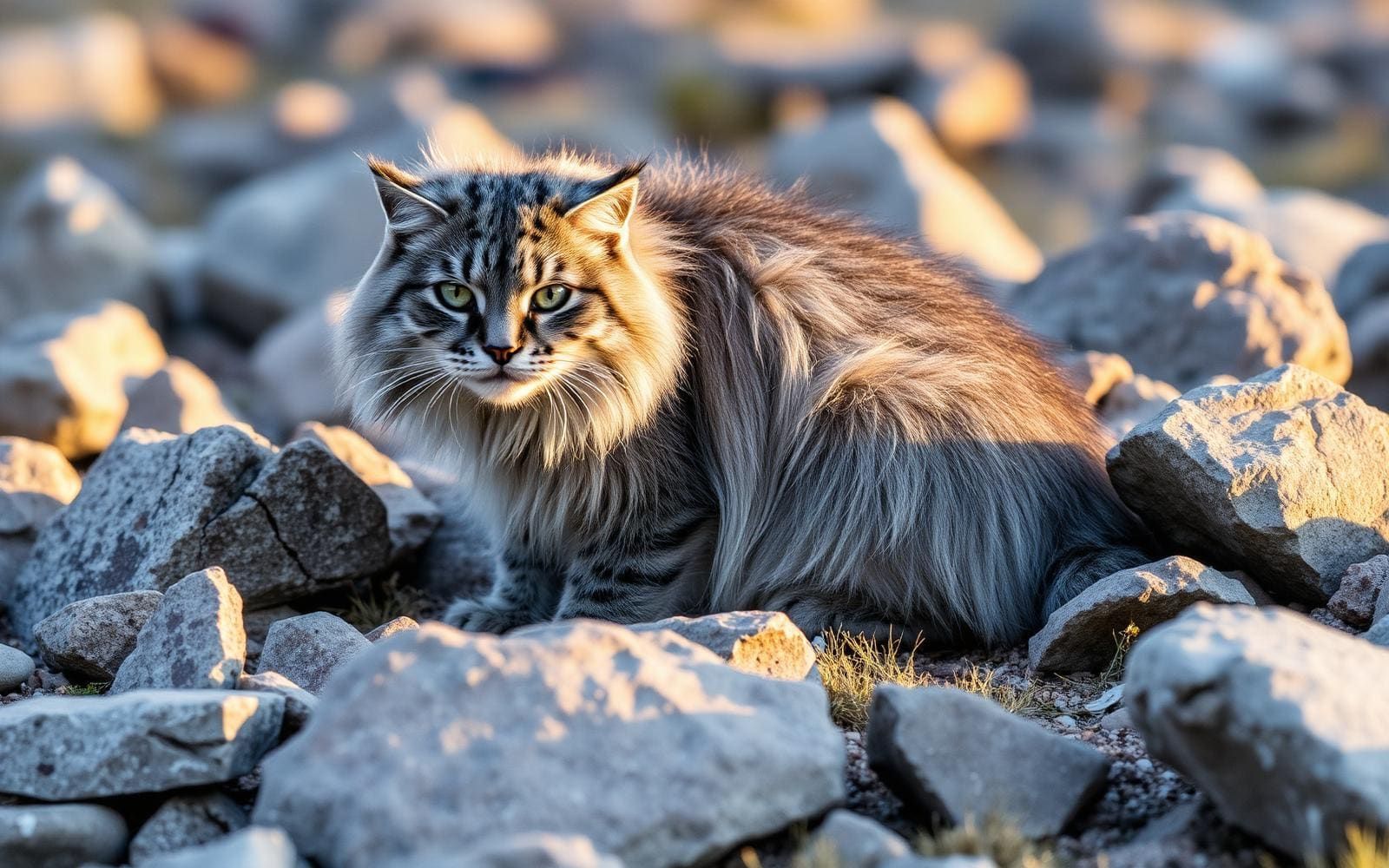
Animals around Mera Peak (Nepal)
Maps, GPS & compass for this trip
Carry a waterproof paper map and a compass you can steer by, and treat the GPS as the backup — not the other way round. Buying links go to Amazon; Wild10 earns a commission at no cost to you.
Waterproof topo maps
- Waterproof topographic map — Mera Peak (Nepal)Amazon search for waterproof, tear-resistant topo maps covering this area.
- National Geographic Trails IllustratedThe waterproof Trails Illustrated series — check for a sheet covering this area.
- Waterproof map case & compass lanyardKeep a paper map readable in rain, spray and a swamped boat.
Fishing at Mera Peak (Nepal)
Planning to fish Mera Peak (Nepal)? Fishing licences, open seasons and catch limits in Nepal are set by the local wildlife authority and change every year — check the official source before you cast a line.
Do I need a fishing licence at Mera Peak (Nepal)?
- A Nepal fishing licence is normally required for anyone over the local youth age.
- Read the current Nepal fishing regulations for special waters, barbless-hook or catch-and-release rules.
- Clean, drain and dry boats and gear between waters to stop invasive species.
We don't have a verified licensing link on file for Nepal yet — contact the park or land manager listed on this page for current hunting and fishing rules.
Hunting near Mera Peak (Nepal)
Thinking about hunting Mera Peak (Nepal)? Hunting seasons, tags and draws in Nepal are set by the wildlife authority each year. Confirm the rules for your species and unit before you go.
Is hunting allowed at Mera Peak (Nepal)?
- Confirm the land around Mera Peak (Nepal) is open to hunting and which management unit it falls in.
What do I need to hunt in Nepal?
- A Nepal hunting licence — most jurisdictions also require hunter education certification.
- Species tags or draw results for big game such as deer, elk, moose or bear where they occur.
- Knowledge of firearm and bow transport rules, which differ by land type and border crossing.
We don't have a verified licensing link on file for Nepal yet — contact the park or land manager listed on this page for current hunting and fishing rules.
Mera Peak and its distinct summits
Mera Peak stands in the Barun sub-section of the Mahalangur Himalaya, in Nepal’s Sagarmatha Zone, Sankhuwasabha. Its highest summit, Mera North, reaches 6,476 metres (21,247 feet). The mountain also has Mera Central at 6,461 metres (21,198 feet) and Mera South at 6,065 metres (19,898 feet). These are distinct objectives, not interchangeable names for one summit. A smaller feature described as a “trekking summit” is visible as a separate summit from the south but is not marked on most regional maps. When comparing trip descriptions, check which summit is intended rather than relying on the name Mera Peak alone. That distinction matters when setting expectations: reaching a named summit on the mountain does not necessarily mean reaching its highest point.
Read the elevation and classification carefully
Mera is classified as a trekking peak, but that label should not be read as a promise of an ordinary walking trip. At more than 6,000 metres, altitude belongs at the centre of preparation: allow for acclimatisation, monitor how the body responds, and keep the summit secondary to a safe return. There is also a specific mapping problem to watch for. The frequently repeated elevation of 6,654 metres belongs to nearby Peak 41, which was mistakenly listed as Mera; incorrect location coordinates accompanied that error. Use the named summit and its elevation together when discussing an itinerary. Mera North is 6,476 metres, while Mera Central is slightly lower. A claim built around the 6,654-metre figure is not an accurate description of Mera’s height.
Plan beyond the general Nepal trekking model
Nepal’s wider trekking network includes well-marked paths, villages and teahouses where walkers can rest or stay overnight. Local people also use those paths to move food, water and other necessities between settlements. That national picture provides useful context, but it does not establish the services available on a particular Mera itinerary. Kathmandu and Pokhara offer guides, organised tours and equipment for sale or rent; treat them as planning centres rather than proof of a direct approach to this mountain. Before committing, ask for the intended summit, approach, overnight arrangements and altitude plan in clear terms. Confirm current access and permit requirements with the managing agency. Do not assume that services familiar from Nepal’s village-based treks extend to every stage of a high mountain trip.
Route options
- Mera North summit objective
The mountain’s highest summit at 6,476 metres (21,247 feet). Confirm that an itinerary explicitly targets Mera North; an approach route and climbing line are not specified here.
- Mera Central summit objective
A separate summit at 6,461 metres (21,198 feet), lower than Mera North. This identifies an objective rather than a documented route; confirm the actual itinerary before booking.
- Mera South summit objective
One of Mera’s three main summits, reaching 6,065 metres (19,898 feet). Do not confuse it with the smaller feature described as a “trekking summit” visible from the south. No approach or climbing line is specified here.
Sample itineraries
- Kathmandu preparation day · 1 day
Use Kathmandu’s guide and equipment services to discuss a Mera Peak itinerary, assess equipment needs, and confirm the intended summit. This is a preparation day, not a mountain ascent schedule; approach logistics and acclimatization require separate planning.
- Mera Peak recovery and assessment day · 1 day
Build a rest and assessment day into a professionally planned Mera Peak trip. Review health, weather, equipment, and the decision to continue. This is a suggested itinerary component, not a complete trek or a guarantee of adequate acclimatization.
Seasonal conditions
Spring
Spring; confirm local conditions before travel
Mera’s high Himalayan elevation calls for cold-weather preparation regardless of season. Choose departure timing using current mountain conditions rather than assuming spring guarantees suitable climbing weather.
Summer
Summer; confirm local conditions before travel
Do not equate summer with mild conditions at summit elevation. Obtain a current forecast and local assessment before committing to an ascent.
Fall
Fall; confirm local conditions before travel
Prepare for high-elevation cold and changing mountain weather. A seasonal label alone cannot establish whether conditions suit your experience or planned summit.
Winter
Winter; confirm local conditions before travel
Treat cold exposure as a central planning concern on this high Himalayan mountain. Confirm whether conditions, equipment, and support are appropriate before setting an ascent schedule.
| Season | Window | Conditions |
|---|---|---|
| Spring | Spring; confirm local conditions before travel | Mera’s high Himalayan elevation calls for cold-weather preparation regardless of season. Choose departure timing using current mountain conditions rather than assuming spring guarantees suitable climbing weather. |
| Summer | Summer; confirm local conditions before travel | Do not equate summer with mild conditions at summit elevation. Obtain a current forecast and local assessment before committing to an ascent. |
| Fall | Fall; confirm local conditions before travel | Prepare for high-elevation cold and changing mountain weather. A seasonal label alone cannot establish whether conditions suit your experience or planned summit. |
| Winter | Winter; confirm local conditions before travel | Treat cold exposure as a central planning concern on this high Himalayan mountain. Confirm whether conditions, equipment, and support are appropriate before setting an ascent schedule. |
Permits, fees & closures
Confirm current Mera Peak permit requirements with the managing agency before travel.
Confirm current permits, fees, and closures with the managing agency before you go.
Hazards & regulations
- High altitude: Mera North reaches 6,476 metres. Allow for acclimatization, monitor health, and do not let a fixed schedule dictate continued ascent.
- Cold exposure and changing weather: prepare for a high Himalayan environment and reassess plans as conditions change.
- Summit confusion: Mera has multiple summits. Confirm the exact objective rather than treating every Mera Peak itinerary as equivalent.
- Incorrect elevation information: the often-repeated 6,654-metre figure belongs to nearby Peak 41, not Mera Peak.
What to pack for Mera Peak (Nepal)
- Insulating layers suitable for high-elevation cold
- Windproof and waterproof outer layers
- Warm gloves and headwear
- Water containers and a treatment method
- Sun protection
- Personal first-aid supplies
- Food for planned walking days
- Written itinerary identifying the intended Mera summit
- Equipment checklist agreed with the trip leader
- Emergency contacts and a communication plan
Mera Peak (Nepal) FAQ
- Where is Mera Peak?
- Mera Peak is in Nepal, in the Mahalangur section and Barun sub-section of the Himalaya.
- How high is Mera Peak?
- Mera North is 6,476 metres, Mera Central is 6,461 metres, and Mera South is 6,065 metres. The frequently quoted 6,654-metre elevation refers to nearby Peak 41.
- Does trekking peak mean an ordinary walking trip?
- No. The classification should not substitute for assessing the objective. Mera’s elevation demands serious preparation, acclimatization planning, and an equipment assessment specific to the intended ascent.
- Which summit should an itinerary specify?
- Ask for the exact summit name. Besides North, Central, and South, Mera has a smaller trekking summit visible from the south but absent from many regional maps.
- Can Nepal’s general teahouse network be assumed on Mera?
- Do not assume it. Villages and teahouses support many Nepal treks, but confirm accommodation, food, and water arrangements for your specific Mera itinerary.