



- Region
- Northwest Territories, Canada
- Best season
- Spring, Summer
- Permits
- Confirm current permit and trip requiremen…
Plan with verified data
Nahanni National Park Reserve trip tools
Tools for a trip here
Picked for how, when and where you're going. Free, no signup.
Photos of Nahanni National Park Reserve
How to get there
The South Nahanni River is roughly 500 km west of Yellowknife in the Northwest Territories. That figure describes its general location, not a road journey. Confirm transport and river entry and exit arrangements before departure; no specific road approach or launch location is established here.
- Virginia Falls
A major landmark on the South Nahanni's eastward course within its mountain corridor. Treat it as a planning landmark, not a confirmed launch or landing site; verify access arrangements before using it in an itinerary.
- Liard River confluence
The South Nahanni empties into the Liard River. This identifies the river's downstream endpoint, but does not establish a vehicle-accessible takeout or onward transport connection.
Sources: Wikipedia · Wikivoyage. Confirm road and trailhead conditions with the managing agency before you leave.
Northwest Territories, Canada · Season: Best: July - August
- Canoeing
- Kayaking
- Rafting
- Climbing
- Mountaineering
- Desert Hiking
- Canyoneering
- Winter Camping
The country
This massive reserve protects the sprawling South Nahanni River watershed, cutting through four distinct mountain ranges. The geology features aggressive karst landscapes, resulting in underground river systems, massive sinkholes, and deep, vertical limestone canyons. Above the treeline, alpine tundra gives way to sheer granite spires known as the Ragged Range.
Why enthusiasts come
Paddlers consider the South Nahanni River the pinnacle of wilderness canoeing and rafting in North America, requiring advanced whitewater skills. Climbers travel globally to scale the sheer granite walls of the Cirque of the Unclimbables.
Top experiences
A 10-to-21-day expedition down the South Nahanni involves portaging around the colossal 96-meter Virginia Falls and running massive wave trains in the canyon sections. Rock climbers endure grueling approaches to tackle the legendary Lotus Flower Tower.
Planner-relevant notes
Strict quotas manage river traffic; river permits and campsite reservations must be booked starting in January. Access completely relies on charter floatplanes, meaning weather delays are frequent and costly. Solo expeditions are strongly discouraged by Parks Canada due to the extreme remoteness and severe whitewater.
Field notes
- Whitewater spray covers or decked canoes are essential; open boats will quickly swamp in the standing waves of Fourth Canyon.
- Bring extra robust patching materials; the abrasive limestone and sharp gravel bars wreak havoc on rafts and canoes.
- Plan for 2-3 extra food days to account for weather-related flight delays when flying out of Nahanni Butte.
- Rabbitskull Rapids demands precise scouting; a mistake here means a dangerous swim in cold, powerful currents.
Where on earth
Satellite imagery flying in from a world view to Nahanni National Park Reserve, Northwest Territories, Canada. Use the + / − buttons, or click the map to zoom with your scroll wheel; drag to pan and pinch to zoom on touch.
Coordinates
- Decimal degrees
- 61.5833, -125.8000
- Latitude (DMS)
- 61° 34′ 59.9″ N
- Longitude (DMS)
- 125° 47′ 60.0″ W
Coordinates are an access-point reference for Nahanni National Park Reserve, not a route. Carry a paper map and confirm trailhead or put-in access with the managing agency before you go.
Topic summary
Navigate legendary whitewater canyons, explore deep limestone caves, and witness a towering wilderness waterfall in this premier canoe destination.
Key takeaways
- Region: Northwest Territories, Canada
- Best season: Best: July - August
- Coordinates: 61.583, -125.800
Climate suitability
Best: July - August
Keep planning
Popular pursuits at Nahanni National Park Reserve
- Canoeing
Paddle routes, portages, and put-ins.
- Kayaking
Sheltered and open-water paddling lines.
- Rafting
Whitewater sections and the flows that make them run.
- Climbing
Rock and alpine lines with approach beta.
- Mountaineering
Glacier and high-route objectives with real consequence.
- Desert Hiking
Water carries and heat management drive the plan.
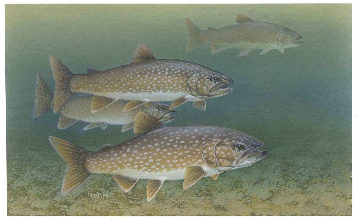
Animals around Nahanni National Park Reserve







A wilderness river through the mountains
The South Nahanni River lies roughly 500 km west of Yellowknife in Canada's Northwest Territories. A major tributary of the Liard River, it is the centerpiece of Nahanni National Park Reserve, which adjoins Nááts'ihch'oh National Park Reserve. The river flows from the Mackenzie Mountains through the Selwyn Mountains, grows as it heads east, passes over Virginia Falls, and eventually joins the Liard. That mountain-to-river progression gives the destination its shape: this is a river corridor through a large wilderness landscape, not a single roadside attraction. Whitewater paddling is a defining reason to visit. For trip planning, the distinction matters: choosing a suitable stretch, arranging access, and matching the journey to the group's paddling skills come before building a sightseeing list.
Four canyons and a long human history
The South Nahanni's winding course predates the mountains around it. The river developed when the area was a broad, flat plain, taking the meandering path typical of lowland rivers. As the land rose, it maintained that course and cut four deep canyons into the rock. Those bends and canyon walls are central to understanding the landscape, rather than separate attractions along an otherwise ordinary river. The area's human history is much longer than its reputation among visiting paddlers. Dene people and their ancestors have lived and hunted here for thousands of years. Europeans arrived in the early nineteenth century seeking fur and gold. Raymond M. Patterson's Dangerous River helped bring wider attention to the region in the 1950s, preceding its growth into a well-known wilderness whitewater destination.
Planning around open water and whitewater
Summer in the Northwest Territories brings open water, camping conditions, potentially hot weather, and long northern daylight. That is useful seasonal context for a river journey, but it does not establish a dependable paddling window for a particular South Nahanni itinerary. Plan around current conditions and the demands of the chosen stretch, rather than treating daylight or summer warmth as a measure of safety. A wilderness whitewater trip calls for appropriate paddling skills, water-safety equipment, camping supplies, and a plan for dealing with problems away from immediate help. Virginia Falls and the canyon country also make it important to establish the route's practical requirements before departure. Confirm access arrangements, suitable starting and finishing locations, and current travel requirements with the managing agency before committing to transport.
Route options
- South Nahanni whitewater journey
The river is an established wilderness whitewater destination. Build a paddling itinerary around the group's abilities and confirmed entry and exit arrangements; no particular launch-to-takeout route is specified here.
- South Nahanni canyon corridor
For a canyon-focused river journey, discuss an itinerary through the landscape shaped by the South Nahanni's four deep canyons. This is a trip-planning focus rather than a defined standalone route; confirm the navigable stretches and their requirements before choosing it.
Sample itineraries
- Virginia Falls viewing focus · 1 day
Suggested focus day within a separately arranged Nahanni trip: view Virginia Falls and the surrounding river landscape. Confirm safe viewing locations and access before committing. This is not a one-day travel plan or a paddling route through the falls.
- South Nahanni canyon focus · 1 day
Suggested focus day within a longer river journey: observe the South Nahanni’s canyon geology along an appropriate section of your planned route. The river cut four deep canyons as the mountains rose. Choose the section with qualified local advice; this does not imply all four canyons fit into one day.
Seasonal conditions
Spring
Snow-season planning
Spring in the Northwest Territories supports snow-based activities. Do not assume the South Nahanni is ready for open-water travel; confirm local river, snow and access conditions before planning a paddling trip.
Summer
Open-water planning
Regional summer conditions include open water, camping, hot weather and very long daylight. These are useful planning cues, not guarantees of manageable whitewater or suitable conditions on a particular river section.
Fall
Mountain-colour season
Autumn brings mountain colours and opportunities to see the northern lights in the Northwest Territories. Confirm local river and weather conditions rather than treating regional seasonal descriptions as a paddling forecast.
Winter
Long-night season
Long, clear winter nights offer regional northern-lights viewing opportunities. A winter Nahanni visit requires separate access and cold-weather planning; do not carry over summer river-travel assumptions.
| Season | Window | Conditions |
|---|---|---|
| Spring | Snow-season planning | Spring in the Northwest Territories supports snow-based activities. Do not assume the South Nahanni is ready for open-water travel; confirm local river, snow and access conditions before planning a paddling trip. |
| Summer | Open-water planning | Regional summer conditions include open water, camping, hot weather and very long daylight. These are useful planning cues, not guarantees of manageable whitewater or suitable conditions on a particular river section. |
| Fall | Mountain-colour season | Autumn brings mountain colours and opportunities to see the northern lights in the Northwest Territories. Confirm local river and weather conditions rather than treating regional seasonal descriptions as a paddling forecast. |
| Winter | Long-night season | Long, clear winter nights offer regional northern-lights viewing opportunities. A winter Nahanni visit requires separate access and cold-weather planning; do not carry over summer river-travel assumptions. |
Permits, fees & closures
Confirm current permit and trip requirements with the agencies managing Nahanni National Park Reserve and, if included in your route, Nááts’ihch’oh National Park Reserve.
Confirm current permits, fees, and closures with the managing agency before you go.
Hazards & regulations
- Whitewater is a defining feature of the South Nahanni. Match the chosen section to the party’s paddling and rescue skills.
- Virginia Falls is a major waterfall, not an ordinary river rapid. Obtain specific safety and route guidance before approaching by water.
- Deep canyons and mountain terrain demand careful route planning. Do not assume easy exits or straightforward overland travel.
- Wilderness travel requires self-sufficiency. Plan emergency communication and contingencies before departure.
- Hot summer weather and long daylight can encourage overexertion. Carry water and maintain deliberate rest and sun-protection routines.
What to pack for Nahanni National Park Reserve
- Properly fitted personal flotation device
- Whitewater helmet
- Rescue equipment appropriate to the route and training
- Waterproof storage
- Layered clothing
- Waterproof outerwear
- Season-appropriate shelter and sleep system
- Sun protection
- Route maps and navigation tools
- Emergency communication device
- First-aid and repair supplies
- Water treatment and secure food storage
Nahanni National Park Reserve FAQ
- Where is the South Nahanni River?
- It is in Canada’s Northwest Territories, roughly 500 km west of Yellowknife. It flows from the Mackenzie Mountains through the Selwyn Mountains, passes Virginia Falls and eventually joins the Liard River.
- Which protected areas are associated with the river?
- The South Nahanni is the centerpiece of Nahanni National Park Reserve, which adjoins Nááts’ihch’oh National Park Reserve. Confirm which managing agency applies to each part of a proposed trip.
- Is this a casual flatwater destination?
- Do not plan it as one. The South Nahanni is known as a wilderness whitewater destination and includes Virginia Falls and four deep canyons. Obtain section-specific guidance before deciding whether a route matches the group’s abilities.
- Why does the river wind through deep canyons?
- Its winding course developed when the area was a broad, flat plain. As the mountains rose, the river maintained that course while cutting four deep canyons into the rock.
- What cultural context matters when visiting?
- The Dene and their ancestors have lived and hunted in the Nahanni area for thousands of years. Treat it as a longstanding homeland, not an empty wilderness, and seek local guidance on respectful travel.
- How long should a river trip take?
- Set the duration only after confirming the route, access arrangements and paddling demands. The focus-day ideas here are components of a separately planned journey, not end-to-end river itineraries.