



Quilotoa Loop
A 3-4 day village-to-village trek through the Andean páramo past the emerald Quilotoa Crater Lake.
Where on earth
Satellite imagery flying in from a world view to Quilotoa Loop, Latin America. Use the + / − buttons, or click the map to zoom with your scroll wheel; drag to pan and pinch to zoom on touch.
- Region
- Ecuador
- Country
- Latin America
- Biome
- Andean páramo (2,900–4,000 m)
- Best season
- May – October
- Difficulty
- moderate
- Backpacking
- Hiking
- Canoeing
- Fishing
Key takeaways
- Biome: Andean páramo (2,900–4,000 m)
- Best season: May – October
- Difficulty: moderate
- Top activity: backpacking
Topic summary
A 3-4 day village-to-village trek through the Andean páramo past the emerald Quilotoa Crater Lake.
Key takeaways
- Difficulty: moderate
- Best season: May – October
Intended uses
backpacking
Climate suitability
Andean páramo (2,900–4,000 m)
Verification notes
Last verified January 1, 1970.
Plan with verified data
Quilotoa Loop trip tools
Popular pursuits at Quilotoa Loop
- Backpacking
Multi-day travel with everything on your back — see the packing blocks below.
- Hiking
Day miles on marked trail, with route notes and trail links below.
- Canoeing
Paddle routes, portages, and put-ins.
- Fishing
Resident gamefish, seasons, and the water that holds them.
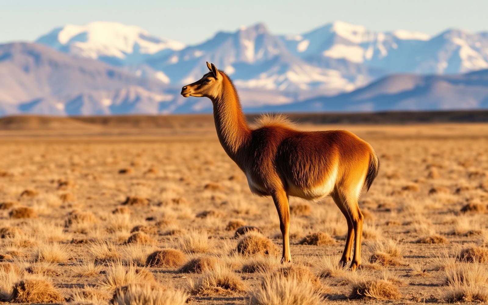
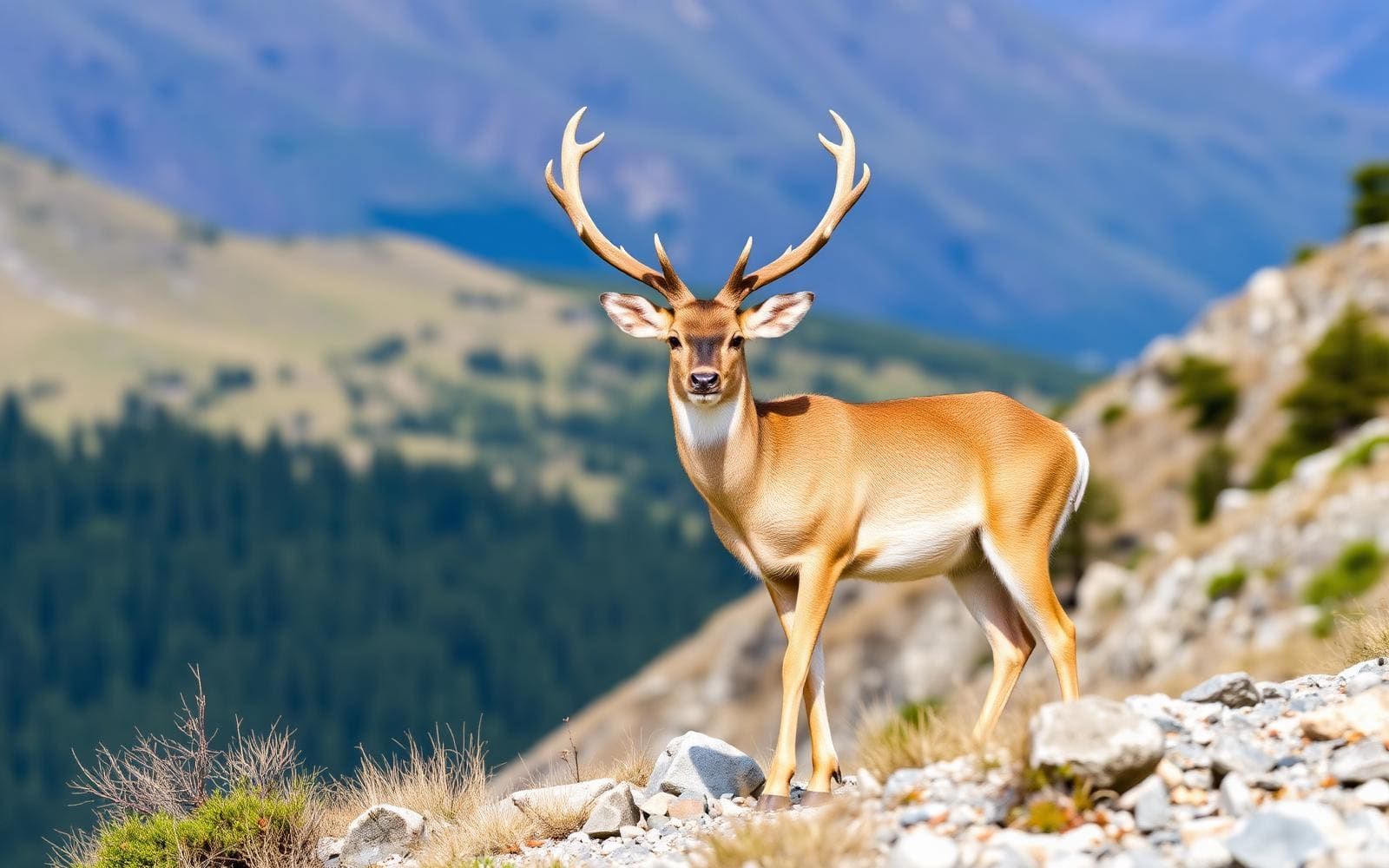
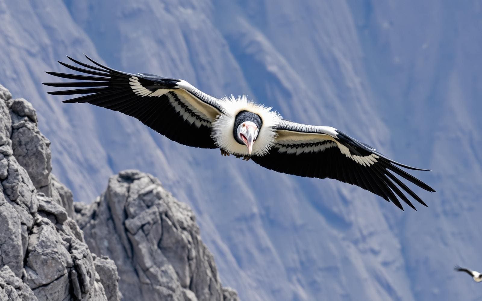
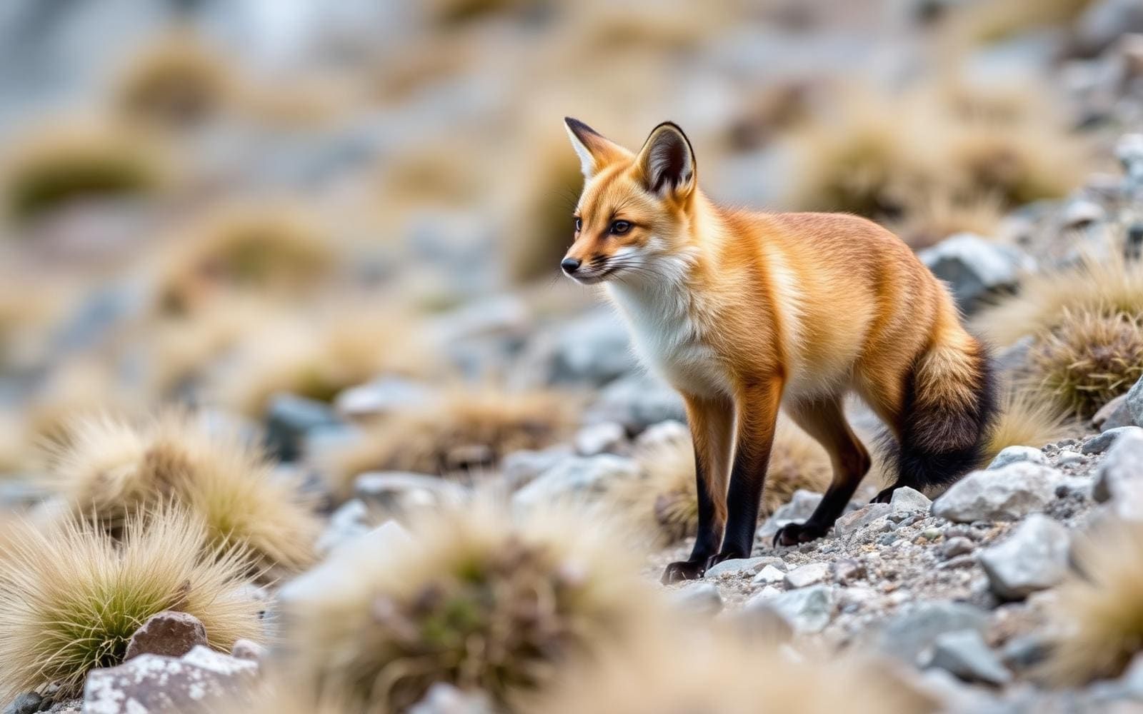
Animals around Quilotoa Loop

Quilotoa Loop Overview
The Quilotoa Loop is a multi-day hiking route in the Ecuadorian Andes, offering a challenging village-to-village experience. The trek traverses high Andean landscapes, culminating at Laguna Quilotoa, a distinctive crater lake surrounded by volcanic peaks. The loop connects several small villages, providing a glimpse into local life. The crater itself is a striking geological feature, formed by a massive volcanic eruption approximately 800 years ago. The 3-kilometer-wide caldera now holds a 250-meter-deep crater lake, notable for its greenish hue, a result of dissolved minerals. Fumaroles are present on the lake floor, and hot springs are found on the volcano's eastern flank. The area has seen increasing popularity as a destination for outdoor enthusiasts seeking an immersive Andean adventure.
Laguna Quilotoa Crater
Laguna Quilotoa is the centerpiece of the region, a water-filled crater lake situated at 3,500 meters above sea level. The caldera rim, an irregular path, reaches maximum elevations of 3,810 meters to the north, 3,894 meters to the northwest, and 3,915 meters to the southeast. A hike around the 10-kilometer caldera rim offers expansive views but can be sandy and steep in sections. The descent to the lake from the main viewpoint takes about 30 minutes, while the return climb up the 280-meter vertical ascent can take 1 to 2 hours. Simple lodging is available within the crater bowl, and camping is permitted at the bottom. The lake's surface has shown a slow decline in recent years, with travertine deposits observed up to 10 meters above the current lake level.
Volcanic History
The Quilotoa caldera was created by the collapse of a dacite volcano following a catastrophic VEI-6 eruption about 800 years ago. This event, known as the 1280 Plinian eruption, produced pyroclastic flows and lahars that extended to the Pacific Ocean, spreading a significant layer of volcanic ash across the northern Andes. This eruption ended a 14,000-year period of dormancy. During its fourth eruptive phase, evidence suggests the presence of a crater lake, indicating the cycle of water and volcanic activity has long shaped this landscape. The dissolved minerals from this volcanic past contribute to the distinct greenish color of the present-day crater lake.
Getting to Quilotoa Loop
The route to the town of Quilotoa can be accessed by hired truck or bus from Zumbahua, located 17 kilometers to the south. More commonly, visitors travel by bus from Latacunga to various starting points along the loop.
- Quilotoa Village
The town of Quilotoa serves as a common starting point for the Quilotoa Traverse and is a popular destination within the loop. Simple hostels in the area provide services such as mules and guides.
- Sigchos
One of the key villages along the multi-day loop, often serving as a starting or ending point.
- Isinliví
A village connected by the loop, frequented by hikers traversing the region.
- Chugchilán
Another central village within the Quilotoa Loop, offering connections and services for hikers.
Route options
- Quilotoa Loop Hikechallenging
A challenging village-to-village hiking route, typically walked between Sigchos, Isinliví, Chugchilán, and Quilotoa. Parts of the route can be covered by local transport including buses, trucks, donkeys, or horses.
- Caldera Rim Hike10 kilometers
A hike circling the rim of the Quilotoa crater. The path is sandy and steep in places, offering views of the lake. Fog can make this hike more challenging.
- Descent to Crater Lake
A hike down from the viewpoint to the crater lake. Basic lodging and camping are available at the bottom of the crater.
Sample itineraries
- Standard Quilotoa Loop · 3 days
A common itinerary for the village-to-village hike, connecting Sigchos, Isinliví, Chugchilán, and Quilotoa.
- Extended Quilotoa Loop · 5 days
A longer option for the village-to-village hike, allowing more time in each location or for additional side excursions.
Seasonal conditions
| Season | Window | Conditions |
|---|---|---|
| Spring | Information not available. | |
| Summer | Information not available. | |
| Fall | Information not available. | |
| Winter | Information not available. |
Permits, fees & closures
Confirm permit and entry fee requirements with the local managing agency upon arrival. There is an entry fee to access Quilotoa.
Confirm current permits, fees, and closures with the managing agency before you go.
Hazards & regulations
- High elevation
- Steep and sandy trails
- Fog reducing visibility
- Lack of potable water in some remote areas (e.g., crater bottom)
What to pack for Quilotoa Loop
- Water bottles (for non-potable water areas, half-liter bottles sold at hostel in crater)
- Sturdy hiking boots
- Layered clothing
- Navigation tools (map, compass/GPS)
- Sleeping bag (if camping in crater)
- Shelter (if camping in crater)
Quilotoa Loop FAQ
- What is the primary activity on the Quilotoa Loop?
- The primary activity is multi-day village-to-village hiking through high Andean villages and around the Laguna Quilotoa crater lake.
- How deep is the Quilotoa crater lake?
- The crater lake is approximately 250 meters deep.
- Are there places to stay within the Quilotoa crater?
- Yes, there is very basic lodging available down in the crater bowl, and camping is permitted at the bottom.
- Is drinking water available in the crater?
- No potable water is available, except for half-liter bottles sold at the hostel in the crater.
- How long does it take to hike down to the lake and back up?
- It is about a 30-minute hike down from the viewpoint to the lake, and a 1- to 2-hour hike back up the 280-meter vertical ascent.