



Where on earth
Satellite imagery flying in from a world view to Upper Mustang Trek, Nepal. Use the + / − buttons, or click the map to zoom with your scroll wheel; drag to pan and pinch to zoom on touch.
- Region
- Nepal
- Biome
- Trans-Himalayan plateau (2,800–4,660 m)
- Best season
- May – October
- Difficulty
- moderate
- Backpacking
- Hiking
Key takeaways
- Biome: Trans-Himalayan plateau (2,800–4,660 m)
- Best season: May – October
- Difficulty: moderate
- Top activity: backpacking
Photos of Upper Mustang Trek
Topic summary
A 10-day restricted-area trek through the Tibetan Buddhist kingdom of Lo — north of the main Himalaya.
Key takeaways
- Difficulty: moderate
- Best season: May – October
Intended uses
backpacking
Climate suitability
Trans-Himalayan plateau (2,800–4,660 m)
Tools for a trip here
Picked for how, when and where you're going. Free, no signup.
- Sleep System Temp CalculatorCold nights: check your bag and pad add up to a safe sleep.
- Base Weight CalculatorEvery ounce is carried — total your kit and find your base weight.
- Pack Volume SizerSize the pack for your trip length and season.
- Water Purification MatrixTreat water from streams and lakes on trail.
- Layering CalculatorCold-season miles: layer for climbs and camp.
Plan with verified data
Upper Mustang Trek trip tools
How to get there
Upper Mustang Trek is in Nepal, Nepal. Its center point is 29.0833, 83.7833. Use these links for live turn-by-turn directions from where you are, then confirm road, trailhead and access conditions with the managing agency before you leave.
- Kagbeni
A named locality in the wider Mustang trekking context, where a West Tibetan dialect is spoken. Confirm onward access and transport arrangements locally.
- Cheile
One of the upper Baragau villages and a geographic marker for the region described as lying between Cheile and Pandakhola. Its residents retain the Seke language.
Popular pursuits at Upper Mustang Trek
- Backpacking
Multi-day travel with everything on your back — see the packing blocks below.
- Hiking
Day miles on marked trail, with route notes and trail links below.
Animals around Upper Mustang Trek
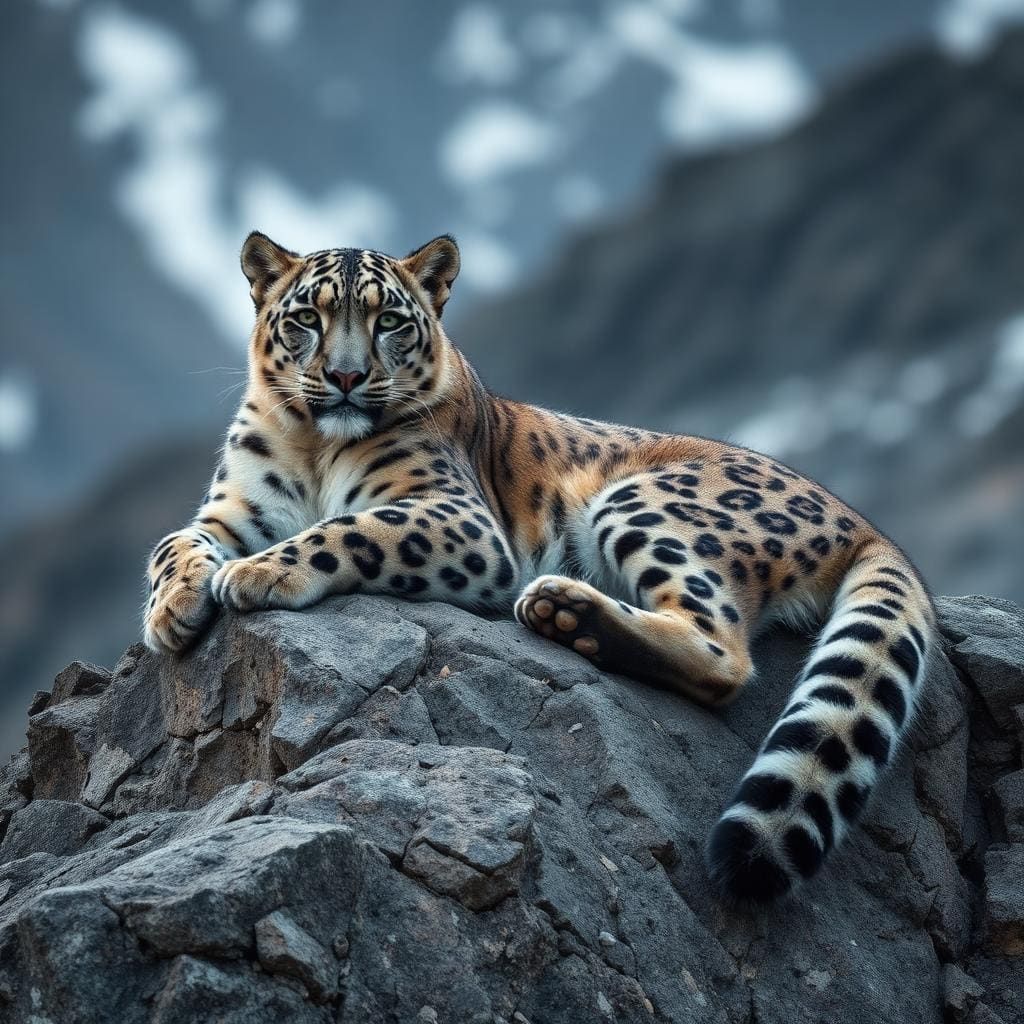
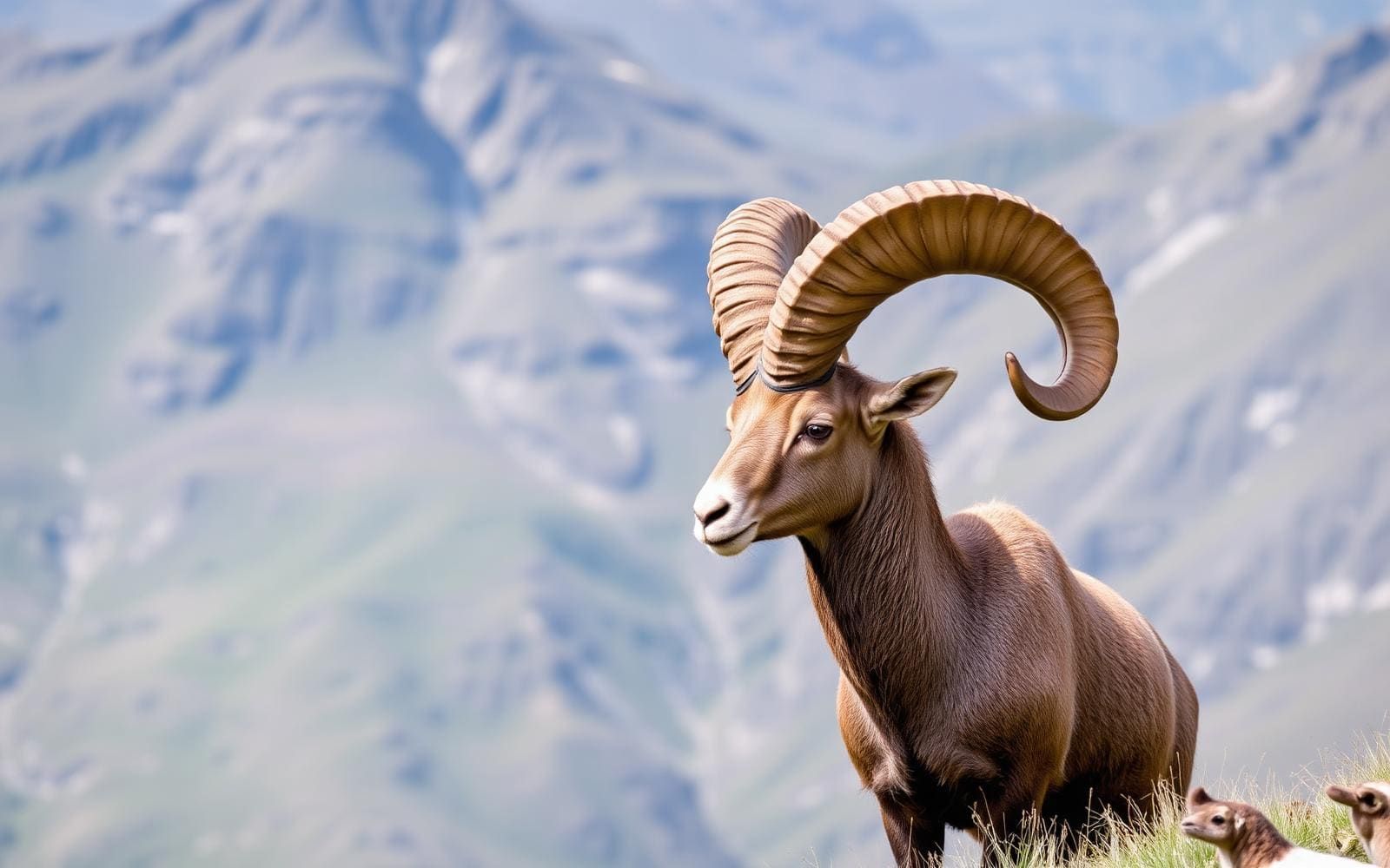
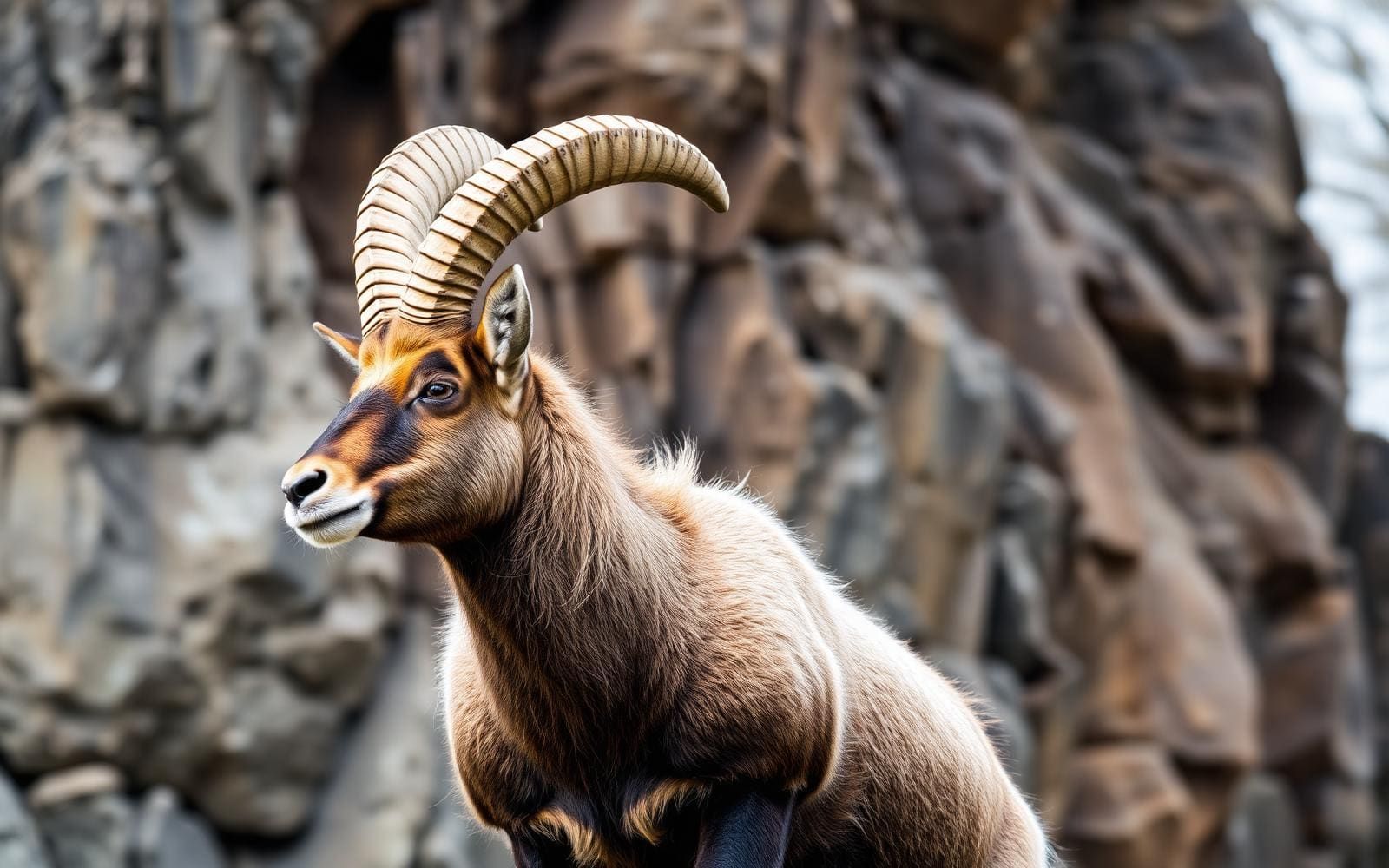
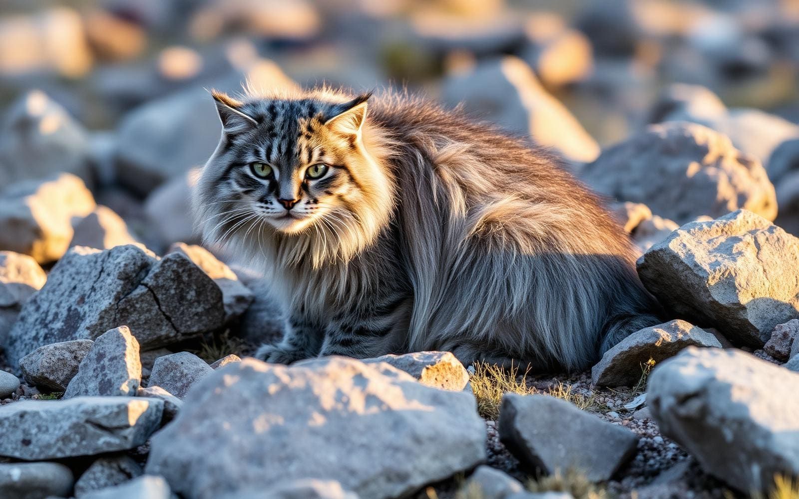
Maps, GPS & compass for this trip
Carry a waterproof paper map and a compass you can steer by, and treat the GPS as the backup — not the other way round. Buying links go to Amazon; Wild10 earns a commission at no cost to you.
Waterproof topo maps
- Waterproof topographic map — Upper Mustang TrekAmazon search for waterproof, tear-resistant topo maps covering this area.
- National Geographic Trails IllustratedThe waterproof Trails Illustrated series — check for a sheet covering this area.
- Waterproof map case & compass lanyardKeep a paper map readable in rain, spray and a swamped boat.
Fishing at Upper Mustang Trek
Planning to fish Upper Mustang Trek, Nepal? Fishing licences, open seasons and catch limits in Nepal are set by the local wildlife authority and change every year — check the official source before you cast a line.
Do I need a fishing licence at Upper Mustang Trek?
- A Nepal fishing licence is normally required for anyone over the local youth age.
- Read the current Nepal fishing regulations for special waters, barbless-hook or catch-and-release rules.
- Clean, drain and dry boats and gear between waters to stop invasive species.
We don't have a verified licensing link on file for Nepal yet — contact the park or land manager listed on this page for current hunting and fishing rules.
Hunting near Upper Mustang Trek
Thinking about hunting Upper Mustang Trek, Nepal? Hunting seasons, tags and draws in Nepal are set by the wildlife authority each year. Confirm the rules for your species and unit before you go.
Is hunting allowed at Upper Mustang Trek?
- Confirm the land around Upper Mustang Trek is open to hunting and which management unit it falls in.
What do I need to hunt in Nepal?
- A Nepal hunting licence — most jurisdictions also require hunter education certification.
- Species tags or draw results for big game such as deer, elk, moose or bear where they occur.
- Knowledge of firearm and bow transport rules, which differ by land type and border crossing.
We don't have a verified licensing link on file for Nepal yet — contact the park or land manager listed on this page for current hunting and fishing rules.
Upper Mustang and the former Kingdom of Lo
Upper Mustang occupies the northern part of Mustang District in Nepal’s Gandaki Province. Also known as Lo Tsho Dyun, it was formerly the Kingdom of Lo, and its historical territory covers roughly the northern third of the district. Today, that area comprises the rural municipalities of Lo Manthang and Lo-Ghekar Damodarkunda. For trek planning, the important distinction is between this historical region and the broader area commonly associated with an Upper Mustang journey, which also includes Baragau farther south. This is not simply another name for the whole Mustang District. Lower Mustang, called Thak, has its own cultural identity as the homeland of the Thakali community. Understanding those distinctions helps keep village names, regional descriptions and itinerary choices in context.
A Trans-Himalayan setting
Upper Mustang belongs to the wider Annapurna region’s Trans-Himalayan country, north of the main Himalayan ranges. The defining landscape context is aridity: this is a different setting from the greener mountain terrain that visitors may associate with Nepal. The wider region includes the Annapurna and Dhaulagiri ranges and the Kali Gandaki River valley, but those regional landmarks should not be treated as a promise of views from every stage of an Upper Mustang trek. Plan clothing and water needs around travel through dry mountain country, and check local weather before setting out. Choose an itinerary by its actual villages and terrain rather than by the destination name alone. Confirm access requirements with the relevant managing agency before committing to arrangements.
Language, culture and a changing region
Upper Mustang was closed to outsiders until 1992, and its relative isolation helped sustain Tibetan cultural traditions and traditional Tibetic languages. Cultural differences remain important within the wider trekking area. In upper Baragau, villages including Chusang, Tangbe, Tetang, Gyaka and Cheile retain the Seke language, while people around Kagbeni and Muktinath speak a West Tibetan dialect. Life in Mustang revolves around tourism, animal husbandry and trade; these are working communities rather than places set apart solely for visitors. Allow time for encounters without assuming that every village shares the same language or customs. The kingdom’s status ended in 2008 when Nepal became a republic. Development and outside influence, particularly from China, are bringing further changes, so present-day Mustang should not be approached as an unchanged historical landscape.
Route options
- Upper Mustang Trek
An itinerary focused on the former Kingdom of Lo in northern Mustang. Use Lo Manthang and Lo-Ghekar Damodarkunda to distinguish the historical Upper Mustang area when discussing the route with a local operator; confirm the actual stages before booking.
- Kali Gandaki River Valley trek
A separately named trek in the wider Annapurna region that follows the Kali Gandaki valley. Consider it as a regional alternative, not as another name for the Upper Mustang Trek.
Sample itineraries
- Lo Manthang cultural day · 1 day
Use a day in Lo Manthang to focus on the living culture of the former Kingdom of Lo. Arrange locally appropriate activities and ask before photographing people or entering cultural spaces. This is a destination-day outline, not a complete Upper Mustang trek.
- Baragau village focus · 1 day
Build a locally planned day around one of Baragau’s villages, such as Chusang, Tangbe or Tetang. Focus on village life and the area’s Seke-language heritage rather than trying to connect several settlements. Confirm access and walking requirements locally.
Seasonal conditions
Spring
Confirm local conditions for your travel dates.
Plan for an arid Trans-Himalayan setting. Check current weather and walking conditions before choosing daily stages; the season alone is not enough to judge suitability.
Summer
Confirm local conditions for your travel dates.
The landscape north of the main Himalayan ranges is arid. Do not treat that as a guarantee of dry travel conditions; check weather and access across the whole journey.
Fall
Confirm local conditions for your travel dates.
Keep daily plans flexible around current mountain weather. Arrange dependable drinking water rather than assuming an arid landscape will offer frequent refill opportunities.
Winter
Confirm local conditions for your travel dates.
Check expected temperatures, walking conditions and local services before committing. Carry layers appropriate to the forecast rather than relying on a general seasonal description.
| Season | Window | Conditions |
|---|---|---|
| Spring | Confirm local conditions for your travel dates. | Plan for an arid Trans-Himalayan setting. Check current weather and walking conditions before choosing daily stages; the season alone is not enough to judge suitability. |
| Summer | Confirm local conditions for your travel dates. | The landscape north of the main Himalayan ranges is arid. Do not treat that as a guarantee of dry travel conditions; check weather and access across the whole journey. |
| Fall | Confirm local conditions for your travel dates. | Keep daily plans flexible around current mountain weather. Arrange dependable drinking water rather than assuming an arid landscape will offer frequent refill opportunities. |
| Winter | Confirm local conditions for your travel dates. | Check expected temperatures, walking conditions and local services before committing. Carry layers appropriate to the forecast rather than relying on a general seasonal description. |
Permits, fees & closures
Confirm current Upper Mustang entry requirements and trekking permissions with the managing agency before booking.
Confirm current permits, fees, and closures with the managing agency before you go.
Hazards & regulations
- Water planning matters in this arid landscape. Confirm refill options before each walking stage.
- Sun exposure can be demanding in an arid outdoor setting; carry sun protection and drinking water.
- Mountain weather can affect walking plans. Check forecasts and retain flexibility rather than committing to fixed daily progress.
What to pack for Upper Mustang Trek
- Refillable water bottles
- Water treatment
- Sun hat
- Sunscreen
- Sunglasses
- Comfortable trekking footwear
- Layered clothing suited to the forecast
- Windproof and waterproof outer layer
- Daypack
- Personal first-aid supplies
- Offline trip information
- Spare power for essential electronics
Upper Mustang Trek FAQ
- Where is Upper Mustang?
- Upper Mustang occupies the northern part of Mustang District in Nepal’s Gandaki Province. Historically, it comprises the district’s northern third and includes the rural municipalities of Lo Manthang and Lo-Ghekar Damodarkunda.
- What landscape should trekkers expect?
- This is part of the Trans-Himalayan country north of the main Himalayan ranges, characterized by arid land. Plan water supplies and clothing for that setting, while checking conditions for the actual route.
- Is Baragau the same as historical Upper Mustang?
- No. Baragau is the region between Cheile and Pandakhola. Historical Upper Mustang and the area commonly discussed under the Upper Mustang trekking name are not identical, so clarify the places included in any proposed itinerary.
- What makes the region culturally distinctive?
- Relative isolation helped preserve Tibetan culture and traditional Tibetic languages. Seke remains part of the heritage of villages including Chusang, Tangbe, Tetang, Gyaka and Cheile. Tourism, animal husbandry and trade shape local life.
- Is Upper Mustang still a kingdom?
- No. Formerly known as the Kingdom of Lo, its kingdom status ended in 2008 when Nepal became a republic. Treat its heritage as part of a living, changing region rather than an unchanged historical enclave.
- Are these itineraries complete trekking schedules?
- No. They are one-day cultural planning ideas within the wider destination. Arrange the full approach, walking stages and onward travel locally, with current access information and enough flexibility for conditions.