



- Region
- Wyoming
- Country
- United States
- Best for
- backpacking, hiking, camping
- Best season
- Spring, Summer
- Permits
- Confirm permit requirements and applicable…
Plan with verified data
Washakie Wilderness (Units 99/101) trip tools
Tools for a trip here
Picked for how, when and where you're going. Free, no signup.
- Sleep System Temp CalculatorCold nights: check your bag and pad add up to a safe sleep.
- Bear Country Food StorageBear country: canister, Ursack or hang, and the local rules.
- Base Weight CalculatorEvery ounce is carried — total your kit and find your base weight.
- Pack Volume SizerSize the pack for your trip length and season.
- Water Purification MatrixTreat water from streams and lakes on trail.
How to get there
The Washakie Wilderness is located in Wyoming. One popular access is from the Big Sandy Trailhead in the Wind River Range. To reach Big Sandy, from Farson, WY, head east on Hwy 28 for 4.3 miles, then turn north on Sweetwater CR 108 for 32.7 miles, followed by a turn west on CR 132 (Lander Cutoff Rd) for 7 miles to a T intersection, then turn left and drive 9.9 miles to a Y, taking the right fork on FR208 for 0.6 miles to the trailhead. Another access point is the Double Cabin Campground, which can be reached from Dubois, taking Forest Road 285 north for 28 miles.

Photo: Larry D. Moore / CC BY 4.0 Big Sandy TrailheadLocated in the Wind River Range. From Farson, WY, take Hwy 28 E for 4.3 mi, then Sweetwater CR 108 N for 32.7 mi, then CR 132 W for 7 mi, turn left at a T intersection, and drive 9.9 mi to a Y, taking the right fork on FR208 for 0.6 mi. A high-clearance vehicle is recommended, though careful drivers in standard passenger cars can reach it.

Photo: John Fowler from Placitas, NM, USA / CC BY 2.0 Double Cabin CampgroundThis campground serves as an access point to the wilderness with two trails leading north. To get there, from Dubois, take Forest Road 285 north for 28 miles.
- Fishhawk Trailhead
This trailhead leads to the Fishhawk Cr Trail, which enters Washakie Wilderness. Camping at the trailhead is limited to hard-sided camping units only due to grizzly bear activity.
- Washakie South Fork Trail (northern terminus)
This backcountry route begins off Hunter Creek Road in Shoshone National Forest.
Sources: Wikipedia · Forest Service · landscapeimagery.com · SummitPost. Confirm road and trailhead conditions with the managing agency before you leave.
Wyoming · United States · Season: Fall hunting seasons
- Backpacking
- Hiking
- Hunting
- Mountaineering
- Wildlife Viewing
- Canoeing
- Fishing
Overview
The Washakie Wilderness forms the eastern flank of the Continental Divide in the southern Absaroka Range, directly south of the Thorofare. It's a wild, untamed landscape of high plateaus, deep river valleys, and dense conifer forests, offering immense solitude. What makes it special is its isolation; it's one of the largest roadless areas in the Lower 48, meaning any buck taken here is truly earned. Access is primarily from trailheads near Dubois or through the East Fork drainage, requiring significant pack-in efforts, often 10-20 miles. Best hunting is typically late September to mid-October, taking advantage of crisp fall weather and early deer movements. This unit is for the extremely self-reliant, experienced backpacker who is comfortable navigating remote, rugged terrain. Standard Wyoming deer tags are needed; wilderness permits may be required depending on your exact entry point. Trade-offs include extreme remoteness, significant grizzly bear presence, and highly unpredictable weather that can quickly turn a pleasant day into a survival situation. River crossings can also be formidable.
Why it stands out
One of the largest contiguous wilderness areas in the US
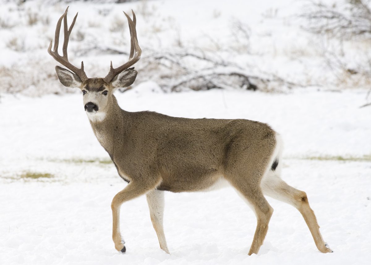
Excellent potential for finding unpressured, mature mule deer bucks
True wilderness experience with immense solitude
Abundant wildlife, including elk, moose, and sheep
Challenging but rewarding terrain for experienced adventurers
Know before you go
Extreme remoteness and multi-day pack-in/pack-out logistics
High density of grizzly bears, requiring vigilant bear awareness
Severe, rapidly changing mountain weather conditions
Difficult river crossings, especially during high water
Lack of easy exit points in case of emergency
Planning notes
Where: Wyoming, United States Best season: Fall hunting seasons Good for: Backpacking, Hiking, Camping, Wildlife Viewing Featured on: Top 10 High-Country Mule Deer Backpacking Units in Wyoming (#6) Access point: Washakie Wilderness, Cody, WY 82414, USA
Check current permits, closures and fire restrictions with the managing agency before you commit to dates.
Field notes
- One of the largest contiguous wilderness areas in the US
- Excellent potential for finding unpressured, mature mule deer bucks
- True wilderness experience with immense solitude
- Abundant wildlife, including elk, moose, and sheep
- Challenging but rewarding terrain for experienced adventurers
Where on earth
Satellite imagery flying in from a world view to Washakie Wilderness (Units 99/101), United States. Use the + / − buttons, or click the map to zoom with your scroll wheel; drag to pan and pinch to zoom on touch.
Coordinates
- Decimal degrees
- 44.4166, -109.9591
- Latitude (DMS)
- 44° 24′ 59.8″ N
- Longitude (DMS)
- 109° 57′ 32.7″ W
Coordinates are an access-point reference for Washakie Wilderness (Units 99/101), not a route. Carry a paper map and confirm trailhead or put-in access with the managing agency before you go.
Topic summary
The Washakie Wilderness forms the eastern flank of the Continental Divide in the southern Absaroka Range, directly south of the Thorofare.
Key takeaways
- Region: Wyoming
- Country: United States
- Best season: Fall hunting seasons
- Good for: backpacking, hiking, camping, wildlife viewing
- Coordinates: 44.417, -109.959
Intended uses
- backpacking
- hiking
- camping
- wildlife viewing
Climate suitability
Fall hunting seasons
Keep planning
Popular pursuits at Washakie Wilderness (Units 99/101)
- Backpacking
Multi-day travel with everything on your back — see the packing blocks below.
- Hiking
Day miles on marked trail, with route notes and trail links below.
- Hunting
Seasons, tags, and the units that hold animals.
- Mountaineering
Glacier and high-route objectives with real consequence.
- Wildlife Viewing
Best light, best season, and where animals move.
- Canoeing
Paddle routes, portages, and put-ins.
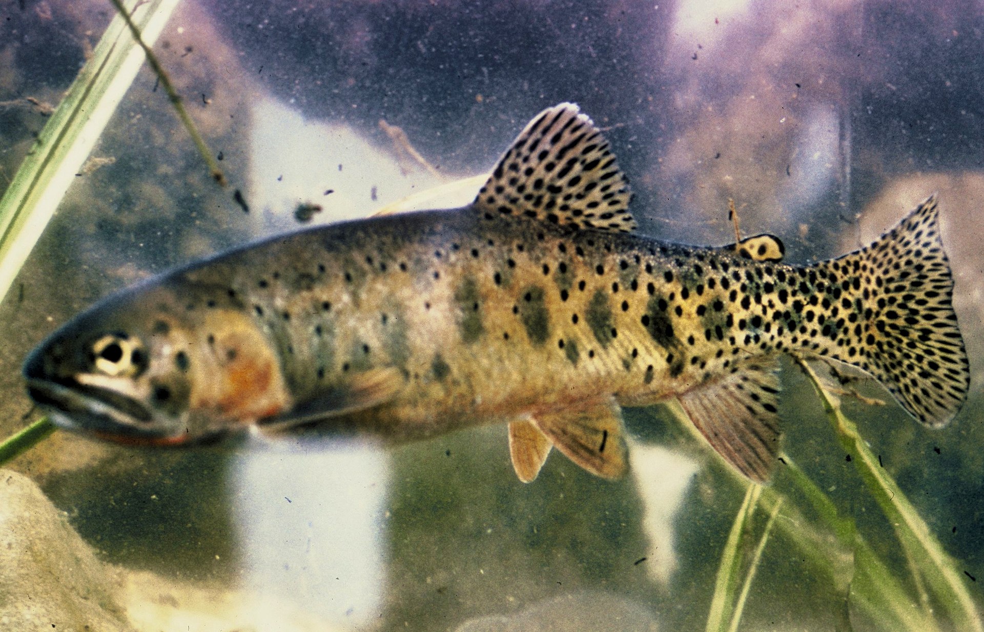
Animals around Washakie Wilderness (Units 99/101)






Destination information needed
The supplied material describes Wichita Mountains Wildlife Refuge near Lawton, Oklahoma, not Washakie Wilderness in Wyoming. It does not establish what Units 99/101 refer to or provide destination-specific terrain, access, routes, hazards, or management information. A reliable profile requires material covering Washakie Wilderness and the intended units, along with official managing-agency information for any permit or fee details. Access points and route options are left empty rather than filled with unrelated or unverified information.
Sample itineraries
- One-day planning placeholder · 1 day
No verified route can be recommended for Washakie Wilderness (Units 99/101). Confirm the intended unit boundaries, legal access and route conditions with the managing agency before choosing a day trip.
- Two-day planning placeholder · 2 days
An overnight route is not established here. Confirm access, camping rules and suitable daily travel distances before building a two-day plan. This is not a field-ready itinerary.
Seasonal conditions
Spring
Not verified
Local spring conditions and access timing are not established. Obtain a current conditions report before scheduling travel.
Summer
Not verified
Local summer conditions and route suitability are not established. Confirm conditions for the intended route and elevation.
Fall
Not verified
Local fall conditions and access timing are not established. Confirm current conditions and applicable unit rules before departure.
Winter
Not verified
Winter access and travel requirements are not established. Do not treat this profile as confirmation that a route is accessible.
| Season | Window | Conditions |
|---|---|---|
| Spring | Not verified | Local spring conditions and access timing are not established. Obtain a current conditions report before scheduling travel. |
| Summer | Not verified | Local summer conditions and route suitability are not established. Confirm conditions for the intended route and elevation. |
| Fall | Not verified | Local fall conditions and access timing are not established. Confirm current conditions and applicable unit rules before departure. |
| Winter | Not verified | Winter access and travel requirements are not established. Do not treat this profile as confirmation that a route is accessible. |
Permits, fees & closures
Confirm permit requirements and applicable unit regulations with the managing agency.
Confirm current permits, fees, and closures with the managing agency before you go.
Hazards & regulations
- Terrain hazards have not been verified; obtain route-specific safety information before committing to travel.
- Seasonal access limitations have not been verified; do not assume an access point is open or reachable.
- Wildlife hazards have not been verified; confirm local precautions and food-storage requirements.
What to pack for Washakie Wilderness (Units 99/101)
- A destination-specific equipment list requires confirmed terrain, access and trip length.
- Determine clothing and shelter requirements after checking local conditions for the travel dates.
Washakie Wilderness (Units 99/101) FAQ
- Is this a field-ready destination profile?
- No. Place-specific routes, access, conditions and regulations have not been established for Washakie Wilderness (Units 99/101).
- What do Units 99/101 identify?
- Their designation and boundaries are not verified here. Confirm which management units are intended before using unit-specific maps or regulations.
- Which trailhead should be used?
- No trailhead or access point is verified here. Choose an entry point only after confirming its location, legal access and current status.
- Are permits or reservations required?
- Requirements are not verified. Ask the managing agency about the intended activity, location and travel dates.
- What wildlife can visitors expect?
- No destination-specific species list is established here. Obtain local wildlife guidance before planning travel or food storage.