



Wind River Range
Wyoming's granite high country — alpine lakes, golden trout, and the least-crowded big peaks in the Rockies.
- Region
- Wyoming
- Country
- United States
- Best for
- backpacking, climbing, fly fishing
- Best season
- Spring, Summer
- Permits
- Confirm specific permit and reservation re…
Plan with verified data
Wind River Range trip tools
Wyoming · United States · Season: July–September
- Backpacking
- Hiking
- Fishing
- Climbing
- Mountaineering
Why it earns a spot
Forty peaks over 13,000 feet, hundreds of trout lakes, and far lighter traffic than the Tetons. Basecamp in one drainage and you can climb, fish, and scramble for a week without repeating a mile.
Plan around the weather
Afternoon thunderstorms build almost daily in July and August. Move over passes early, be off exposed ridges by 1 p.m., and carry a real shell.
Field notes
- Mosquitoes peak in July — head net earns its weight
- Bear canisters are strongly recommended in the Green River drainage
Where on earth
Satellite imagery flying in from a world view to Wind River Range, United States. Use the + / − buttons, or click the map to zoom with your scroll wheel; drag to pan and pinch to zoom on touch.
Coordinates
- Decimal degrees
- 43.1667, -109.6500
- Latitude (DMS)
- 43° 10′ 0.1″ N
- Longitude (DMS)
- 109° 39′ 0.0″ W
Coordinates are an access-point reference for Wind River Range, not a route. Carry a paper map and confirm trailhead or put-in access with the managing agency before you go.
Topic summary
Wyoming's granite high country — alpine lakes, golden trout, and the least-crowded big peaks in the Rockies.
Key takeaways
- Region: Wyoming
- Country: United States
- Best season: July–September
- Good for: backpacking, climbing, fly fishing, photography
- Coordinates: 43.167, -109.650
Intended uses
- backpacking
- climbing
- fly fishing
- photography
Climate suitability
July–September
Keep planning
Popular pursuits at Wind River Range
- Backpacking
Multi-day travel with everything on your back — see the packing blocks below.
- Hiking
Day miles on marked trail, with route notes and trail links below.
- Fishing
Resident gamefish, seasons, and the water that holds them.
- Climbing
Rock and alpine lines with approach beta.
Animals around Wind River Range


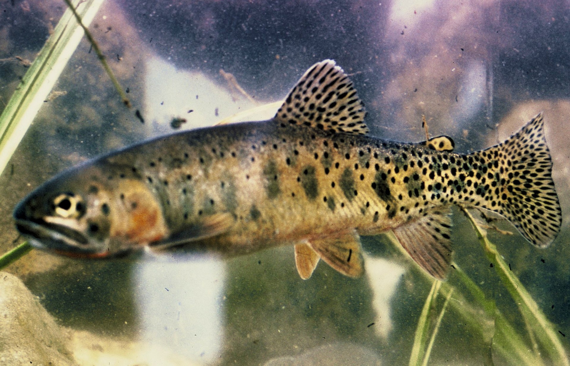

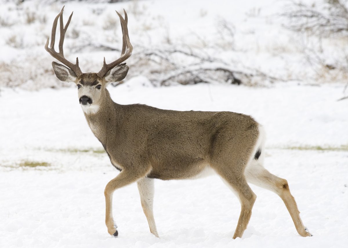



Introduction to the Wind River Range
The Wind River Range, often called the 'Winds,' is a prominent mountain range within the Rocky Mountains, situated in western Wyoming. It stretches approximately 100 miles (160 km) from northwest to southeast. The Continental Divide traces its path along the crest of this range, which is home to Wyoming's highest peak, Gannett Peak, standing at 13,802 feet (4,207 meters). Beyond Gannett Peak and the Grand Teton, the next 19 highest summits in Wyoming are found within the Winds. The range boasts over 40 additional named peaks exceeding 12,999 feet (3,962 meters), including Fremont Peak at 13,750 feet (4,191 meters). This area is renowned for its wild character and extensive outdoor opportunities, appealing to those seeking pristine wilderness in the Lower 48 states.
Wilderness and Management
The majority of the Wind River Range is protected within two large national forests, which together encompass three distinct wilderness areas. On the eastern side of the Continental Divide lies the Shoshone National Forest, while the Bridger-Teton National Forest manages the western slopes. Both national forests, along with the entire mountain range, are considered integral components of the Greater Yellowstone Ecosystem, highlighting their ecological significance. Parts of the eastern Wind River Range extend into the Wind River Indian Reservation, underscoring the area's diverse land management. This administrative structure ensures the preservation of the range's rugged landscapes and natural habitats, making it a critical area for conservation.
Activities and Exploration
The Wind River Range offers a wealth of activities for outdoor enthusiasts. Its vast wilderness areas provide opportunities for hiking, camping, and backpacking across diverse terrain. With its numerous high peaks and extensive trail networks, the range attracts climbers and trekkers seeking challenging routes and remote experiences. The presence of national forests also suggests possibilities for fishing, horseback riding, and wildlife viewing, although specific details are managed by the respective forest services. Visitors should be prepared for backcountry travel and self-sufficiency, as the range is known for its remote and untamed environment. Its designation as one of the last pristine wildernesses in the Lower 48 states emphasizes the need for responsible recreation.
Seasonal conditions
| Season | Window | Conditions |
|---|---|---|
| Spring | Conditions can vary significantly, with snowmelt often making trails wet and river crossings challenging. Higher elevations typically retain snowpack well into the season. | |
| Summer | Generally offers the most favorable conditions for high-country travel, with warmer temperatures and reduced snow cover at higher elevations. This is the peak season for backpacking and climbing. | |
| Fall | Cooler temperatures and potential for early season snow. Fewer crowds, but weather can be unpredictable. Prepare for changing conditions. | |
| Winter | Characterized by heavy snowpack and extremely cold temperatures, making travel challenging and requiring advanced winter skills and equipment. Many access points may be closed. |
Permits, fees & closures
Confirm specific permit and reservation requirements with the managing agencies, including Shoshone National Forest and Bridger-Teton National Forest.
Official source: Wyoming State Parks, Historic Sites, & Trails - Permits & Fees · Verified September 11, 2026
Hazards & regulations
- High elevation exposure and weather changes
- Remote wilderness with limited immediate assistance
- Stream crossings and snow travel, particularly in spring and early summer
What to pack for Wind River Range
- Map
- Compass
- GPS device
- First-aid kit
- Tent or shelter
- Sleeping bag rated for cold temperatures
- Warm layers (insulating jacket, base layers)
- Rain gear
- Water filter/purifier
- Sufficient food for trip duration
- Bear canister or bear bag system
Wind River Range FAQ
- Where is the Wind River Range located?
- The Wind River Range is located in western Wyoming, within the Rocky Mountains.
- What is the highest peak in the Wind River Range?
- Gannett Peak, at 13,802 feet (4,207 meters), is the highest mountain in the Wind River Range and in Wyoming.
- Which national forests manage the Wind River Range?
- The Wind River Range is encompassed by Shoshone National Forest on the eastern side of the Continental Divide and Bridger-Teton National Forest on the western side.
- Is the Wind River Range part of the Greater Yellowstone Ecosystem?
- Yes, the entire Wind River Range, including the national forests within it, is an integral part of the Greater Yellowstone Ecosystem.
- Are there any parts of the range on tribal land?
- Portions of the east side of the range are located within the Wind River Indian Reservation.