



- Region
- Alaska, USA
- Best season
- Spring, Summer
- Permits
- Confirm activity-specific permit requireme…
- Managed by
- National Park Service
Plan with verified data
Wrangell-St. Elias trip tools
Tools for a trip here
Picked for how, when and where you're going. Free, no signup.
Photos of Wrangell-St. Elias
How to get there
The two park roads are Nabesna Road in the north and McCarthy Road in the center. From Chitina, follow the gravel, washboarded McCarthy Road toward McCarthy. Cars cannot enter McCarthy itself; continue on foot over the footbridge at the road’s end. Both park roads are accessible year-round only as weather allows. Small-plane access is an option for backcountry trips.
- Nabesna Road
Northern road access to the park. The gravel road is open year-round, weather dependent, with infrequent grading and snowplowing.
- McCarthy Road and Kennicott River Bridge
Central access from Chitina toward McCarthy. Private fee-based overnight parking and camping are available at mile 60 at the Kennicott River Bridge, half a mile west of McCarthy. A footbridge provides pedestrian access toward town.
- Headquarters Visitor Center, Copper Center
A summer visitor-information stop, accessible from mid-May through mid-September. The gate is open for day use from 9 a.m. to 5 p.m.
Sources: nps.gov · Wikipedia · Wikivoyage. Confirm road and trailhead conditions with the managing agency before you leave.
Alaska, USA · Season: Best: Jul – early Oct
- Hunting
- Climbing
- Mountaineering
- Hiking
- Backpacking
The country
Wrangell-St. Elias covers 13.2 million acres of southeast Alaska — 4 mountain ranges, thousands of glaciers, and a UNESCO World Heritage Site shared with Kluane in Canada. Kennecott's abandoned copper mill town anchors the accessible corner; the interior is genuinely trackless.
Why enthusiasts come
The park permits Dall sheep and mountain goat hunting (with tags) plus caribou, moose, and grizzly in wilderness units. Non-hunters come for the Root Glacier trek, ice-climbing on Kennecott's tributaries, and multi-day flying float trips down the Chitina, Copper, or Nizina.
Top experiences
The Kennicott/Root Glacier walk, backpacking the Skolai Pass route, ice-climbing on the Kennecott Icefall, mountaineering approaches on Mt. Blackburn or Regal Mountain, and the 60-mile McCarthy Road drive itself.
Planner-relevant notes
McCarthy Road is 60 miles of unmaintained gravel — a solid spare, extra tires, and a full tank are essential. Air taxi to the interior is standard for anything past Skolai. Backcountry permits are free and self-issue but let a ranger know your plan.
Field notes
- Bring shoulder-season boots — even July can produce fresh snow at pass elevations.
- Bears are habituated near Kennicott — camp discipline matters even close to the town.
- Ice-climbers can walk from town to seracs — a rare true drive-to alpine.
- St. Elias Alpine Guides is the standard operator for climbing and glacier travel.
Where on earth
Satellite imagery flying in from a world view to Wrangell-St. Elias, Alaska, USA. Use the + / − buttons, or click the map to zoom with your scroll wheel; drag to pan and pinch to zoom on touch.
Coordinates
- Decimal degrees
- 61.7000, -142.3000
- Latitude (DMS)
- 61° 42′ 0.0″ N
- Longitude (DMS)
- 142° 18′ 0.0″ W
Coordinates are an access-point reference for Wrangell-St. Elias, not a route. Carry a paper map and confirm trailhead or put-in access with the managing agency before you go.
Topic summary
The largest US national park — six times the size of Yellowstone, with Dall sheep, glaciated peaks, and abandoned copper towns.
Key takeaways
- Region: Alaska, USA
- Best season: Best: Jul – early Oct
- Coordinates: 61.700, -142.300
Climate suitability
Best: Jul – early Oct
Keep planning
Popular pursuits at Wrangell-St. Elias
- Hunting
Seasons, tags, and the units that hold animals.
- Climbing
Rock and alpine lines with approach beta.
- Mountaineering
Glacier and high-route objectives with real consequence.
- Hiking
Day miles on marked trail, with route notes and trail links below.
- Backpacking
Multi-day travel with everything on your back — see the packing blocks below.
Animals around Wrangell-St. Elias





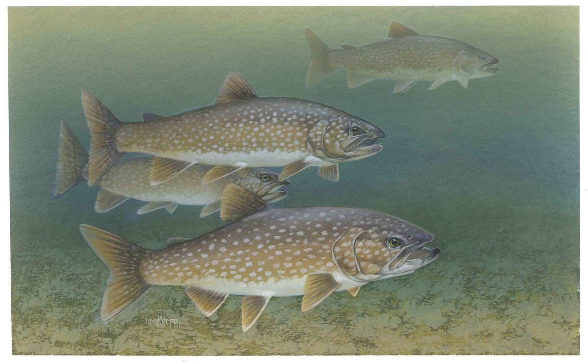


Mountains, icefields, and a vast interior
Wrangell–St. Elias National Park and Preserve occupies more than 13 million acres in south-central Alaska, covering the Wrangell Mountains and much of the Saint Elias Mountains. Volcanism, glaciation, and tectonic uplift have shaped a landscape of high peaks and extensive ice. Mount Saint Elias reaches 18,008 feet, while the Bagley Icefield covers much of the interior. Malaspina, Hubbard, and Nabesna glaciers illustrate the different forms that ice takes here, from broad piedmont ice to tidewater and valley glaciers. The scale matters when planning: road access reaches only a limited part of this landscape. Choose an access area before building an itinerary, and treat a road-based visit and a small-plane backcountry trip as different undertakings rather than interchangeable ways to see the park.
McCarthy, Kennecott, and backcountry choices
The McCarthy approach combines road travel with access to the park’s copper-mining history. McCarthy Road runs from Chitina to McCarthy, but visitors cannot drive their cars into McCarthy itself; a footbridge at the road’s end provides pedestrian access. The old mining town of Kennecott is farther along the road from McCarthy. Its abandoned mine buildings and mills form a National Historic Landmark district, a reminder of copper extraction that operated from 1903 to 1938. For travel beyond the road-accessible area, small planes provide another way into the backcountry. Base camping and point-to-point hiking are possible trip styles, but they require a separate plan for access and return. Flightseeing is another option for viewing the glaciated landscape without committing to an extended ground journey.
Road conditions, seasons, and visitor logistics
Nabesna Road in the north and McCarthy Road in the center are open year-round, weather dependent, with no park entrance gates. Both are gravel roads maintained by the Alaska State Department of Transportation, and summer grading and winter snowplowing are infrequent. Summer rain can leave streams impassable; storms in fall, winter, and spring can bring deep snow. Build flexibility into road travel rather than assuming that year-round access means reliable passage. The Headquarters Visitor Center in Copper Center is accessible in summer, from mid-May through mid-September, with its gate open for day use from 9 a.m. to 5 p.m. The park charges no entrance fee, but private parking, camping, and transportation can cost extra. Private overnight parking and camping are available for a fee at the Kennicott River Bridge.
Route options
- Chitina to McCarthy
Drive McCarthy Road from Chitina to the road-end pedestrian access for McCarthy. Expect gravel and washboard rather than a consistently smooth road; heavy summer rain and seasonal snow can affect passage.
- McCarthy to Kennecott5 miles
Continue along the road from McCarthy to the historic copper-mining town of Kennecott, where abandoned mine buildings and mills make up a National Historic Landmark district.
- Nabesna Road approach
Use the park’s northern gravel road for a road-based visit. Plan around weather-dependent access and infrequent road maintenance, including limited snowplowing after storms.
Sample itineraries
- Copper Center and McCarthy · 3 days
In summer, start at the Headquarters Visitor Center in Copper Center. Allow a separate day for the washboarded McCarthy Road from Chitina, then cross the footbridge into McCarthy. Use the final day for Kennecott's historic copper-mining district, with onward transport and return logistics arranged beforehand.
- Nabesna Road Exploration · 2 days
Focus on the park's northern road access. Check Nabesna Road conditions before setting out, then make a flexible out-and-back trip with time for stops. Keep the second day available for further exploration or a weather-delayed return; heavy rain and snow can limit access.
- Flightseeing and Backcountry Base Camp · 3 days
Arrange small-plane access for a backcountry base camp, with flightseeing over the park's mountain and glacial terrain. Spend the middle day exploring within the group's abilities. Treat three days as a planning outline, not a fixed flight schedule, and carry supplies for weather delays.
Seasonal conditions
Spring
Spring
Storms can leave deep snow on access roads, and snow plowing is infrequent. Nabesna Road and McCarthy Road remain weather-dependent. Visitor centers are closed through April; the Headquarters Visitor Center's summer season begins in mid-May.
Summer
Summer
Heavy rains can make streams impassable. Gravel-road grading is infrequent, so allow time for rough driving. The Headquarters Visitor Center in Copper Center operates mid-May through mid-September, with its gate open for day use from 9 am to 5 pm.
Fall
Fall
Deep snow can follow storms, affecting both park roads. The Headquarters Visitor Center's summer season ends in mid-September, and visitor centers are closed October through April. Plan for reduced visitor services and weather-dependent access.
Winter
Winter
Visitor centers are closed. Nabesna Road and McCarthy Road are open year-round only as weather allows; deep snow after storms and infrequent plowing can disrupt travel. Carry enough supplies to wait or turn back.
| Season | Window | Conditions |
|---|---|---|
| Spring | Spring | Storms can leave deep snow on access roads, and snow plowing is infrequent. Nabesna Road and McCarthy Road remain weather-dependent. Visitor centers are closed through April; the Headquarters Visitor Center's summer season begins in mid-May. |
| Summer | Summer | Heavy rains can make streams impassable. Gravel-road grading is infrequent, so allow time for rough driving. The Headquarters Visitor Center in Copper Center operates mid-May through mid-September, with its gate open for day use from 9 am to 5 pm. |
| Fall | Fall | Deep snow can follow storms, affecting both park roads. The Headquarters Visitor Center's summer season ends in mid-September, and visitor centers are closed October through April. Plan for reduced visitor services and weather-dependent access. |
| Winter | Winter | Visitor centers are closed. Nabesna Road and McCarthy Road are open year-round only as weather allows; deep snow after storms and infrequent plowing can disrupt travel. Carry enough supplies to wait or turn back. |
Permits, fees & closures
Confirm activity-specific permit requirements with the National Park Service before travel.
Fees: No park entrance fee is charged. Parking, camping, and transportation fees may apply, including private overnight parking and camping at mile 60 by the Kennicott River Bridge. The park does not accept cash.
Official source: Fees & Passes - Wrangell - St Elias National Park & Preserve (U.S. ... · Verified September 19, 2026
Hazards & regulations
- Heavy summer rain can make streams impassable. Do not force a crossing; keep a turnaround option.
- Deep snow after fall, winter, and spring storms can disrupt road access. Snow plowing is infrequent.
- McCarthy Road is washboarded, and grading on the gravel park roads is infrequent. Allow extra driving time and check conditions before departure.
- The vast, glaciated backcountry requires conservative route choices and self-sufficient travel. Keep plans within the group's navigation and terrain skills.
What to pack for Wrangell-St. Elias
- Waterproof jacket and pants
- Insulating layers
- Warm hat and gloves
- Weather-resistant shelter for overnight trips
- Maps and offline navigation
- Emergency communication device
- First-aid kit
- Extra food and water
- Water-treatment supplies
- Serviceable spare tire and tire-changing tools
- Emergency food, water, and warm layers
- Snow-clearing equipment for snowy conditions
Wrangell-St. Elias FAQ
- What defines Wrangell–St. Elias?
- This south-central Alaska park and preserve spans over 13 million acres of mountains, glaciers, and backcountry. It includes the Wrangell Mountains and much of the Saint Elias Mountains. Mount Saint Elias reaches 18,008 feet, while the Bagley Icefield covers much of the interior.
- Which roads provide access?
- Nabesna Road accesses the north, and McCarthy Road accesses the central area. Neither has a park entrance gate. Both are open year-round, weather dependent, with infrequent summer grading and winter snow plowing.
- Can a private car be driven into McCarthy?
- No. Drive McCarthy Road from Chitina to the road's end, then use the footbridge to enter McCarthy. Private overnight parking and camping are available for a fee near the Kennicott River Bridge.
- What is there to see at Kennecott?
- Kennecott's abandoned copper-mine buildings and mills form a National Historic Landmark district. The mining boom ran from 1903 to 1938. The old mining town is 5 miles from McCarthy; arrange onward access before arriving.
- How can visitors reach the backcountry?
- Small-plane access is an option for base camping or point-to-point hiking. Flightseeing also offers views of the mountain and glacier terrain without committing to an overnight backcountry trip. Match any ground itinerary to the group's skills and carry supplies for delays.
- Can federal recreation passes be purchased at the park?
- No. Because Wrangell–St. Elias does not charge an entrance fee, its visitor centers do not sell or issue federal land passes. Obtain passes for other fee-charging parks online or at a park that sells them.